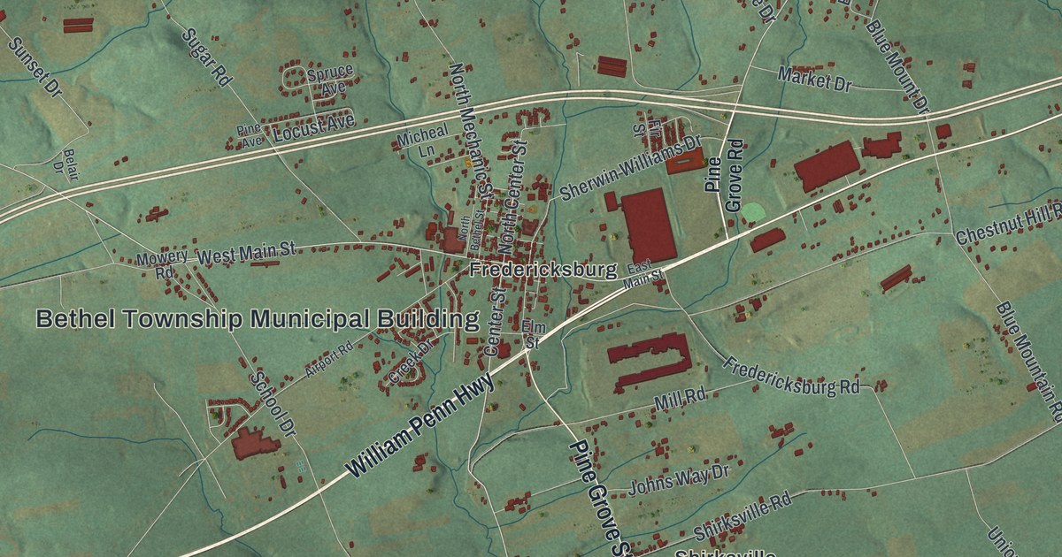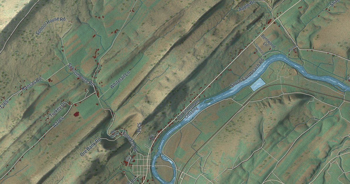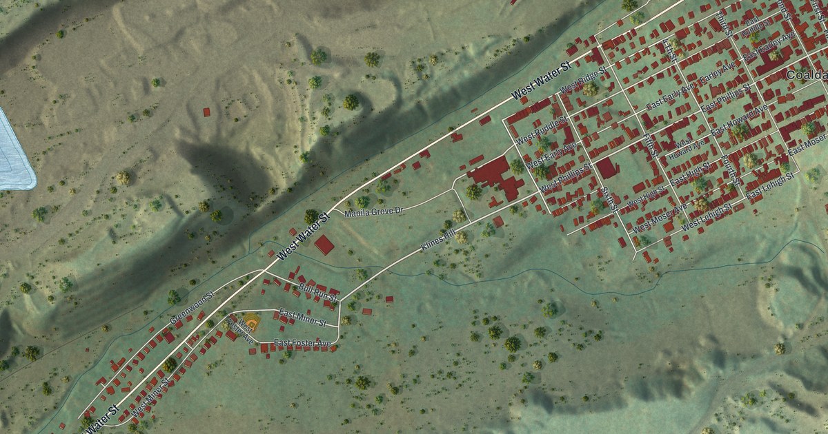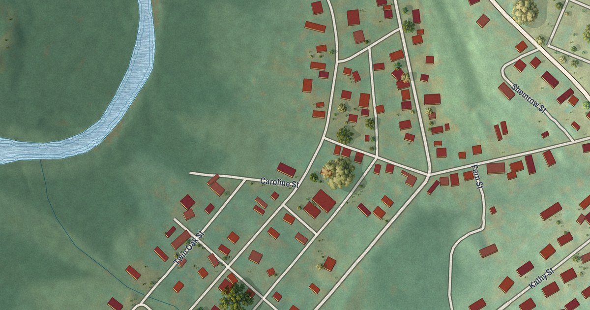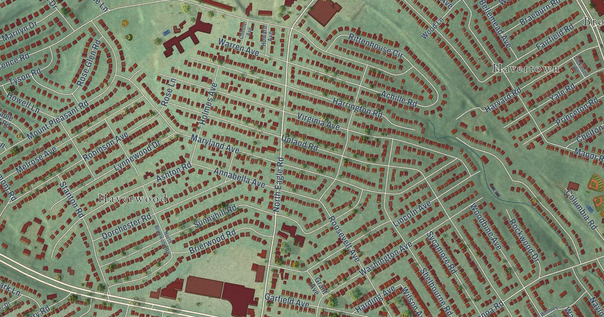
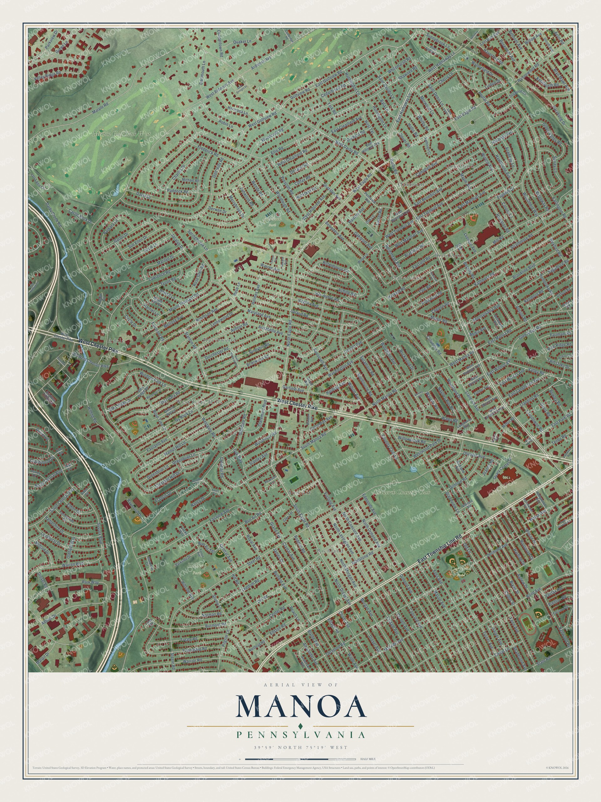
This beautifully detailed map of Manoa, Pennsylvania was created in 2026 using aerial imagery combined with modern topographical, census, street and landmark data. It’s a one-of-a-kind view of Manoa that combines accurate data with a vintage aesthetic. The map shows every building in its true location, many of the roads carry their names, and the shaded topographic relief shows the shape of the land.
Explore an aerial view of Manoa, Pennsylvania
On the map you’ll find Dermond Field, Hilltop Park, Paddock Park, Grassland, West Gate Hills, Brookline, Richland, Haverwood, Adele, Oakmont, Havertown, Bon Air, and more. If you look closely you can even find your house accurately drawn in its correct location. Zoom in on the preview to look for yours.
Did You Know?
From Internet Archive: "Old Radnor Church and Bethesda Church, near Manoa. not far from the West Chester F'ike, composed the circuit."
Manoa is a community in Delaware County.
Take a closer look at the Manoa map
Names on this map
These names are printed on this map.
Places: Dermond Field, Hilltop Park, Paddock Park, Grassland, West Gate Hills, Brookline, Richland, Haverwood, Adele, Oakmont, Havertown, Bon Air, Llanerch Country Club and Merion Golf Club West.
Streets and roads: West Chester Pike, East Township Line Road, Darby Road, North Eagle Road, East Eagle Road, West Eagle Road, West Darby Road, South Eagle Road, Valley Road, Golfview Road, East Golfview Road, North Drexel Avenue.
More street names, A to Z
Abbott Drive, Academy Lane, Achille Road, Agnew Drive, Alexander Avenue, Allston Road, Anderson Avenue, Annabella Avenue, Ardmore Avenue, Ashton Road, Ashwood Road, Avon Road, Bala Lane, Barbara Lane, Belfield Avenue, Bellemead Avenue, Belmont Avenue, Belvedere Avenue, Beverly Road, Bewley Road, Blythe Avenue, Bon Air Road, Bon Air Terrace, Bond Avenue, Braeburn Road, Brenton Road, Brierwood Road, Brighton Village Drive, Brookline Boulevard, Bryan Street, Bryn Mawr Avenue, Burmont Road, Cambridge Road, Campbell Avenue, Castle Rock Drive, Cedarbrook Road, Cedar Lane, Center Road, Central Avenue, Charles Drive, Chelton Road, Cherry Lane, Chester Avenue, Childs Avenue, Circle Drive, Clamar Avenue, Claremont Boulevard, Clover Road, Cobbs Street, Colfax Road, Colonial Road, Colony Lane, Columbia Road, Columbus Avenue, Concord Avenue, Coopertown Road, Cornell Avenue, Country Club Lane, Cranbourne Drive, Crescent Hill Drive, Darby Creek Road, Dartmouth Lane, David Drive, Davis Road, Decatur Road, Delaware Avenue, Dermond Avenue, Dermond Road, Derwen Drive, Dickinson Road, Dill Road, Dogwood Circle, Dorchester Road, Dorset Drive, Drexel Avenue, Drexel Road, Durley Drive, Earlington Road, East Benedict Avenue, East Clearfield Avenue, East Hathaway Lane, East Hillcrest Avenue, East Langhorne Avenue, East Manoa Road, East Marthart Avenue, East Mercer Avenue, East Park Road, East Turnbull Avenue, East Wilmot Avenue, Eden Circle, Edgehill Drive, Edmonds Avenue, Eldon Drive, Ellis Road, Ellston Road, Elm Circle, Fairfax Road, Fairfield Road, Fairlamb Avenue, Fairmont Road, Fairview Avenue, Fariston Drive, Farnham Road, Farnsworth Drive, Forest Avenue, Foss Avenue, Fox Hollow Lane, Francis Drive, Frederick Road, Friendship Road, Fulmer Avenue, Furlong Avenue, Garfield Avenue, Garlor Drive, Gilmore Road, Gladstone Road, Glen Arbor Road, Glendale Road, Glen Gary Road, Glen Ridge Drive, Glen Ridge Road, Glen Terrace, Golf Hills Road, Golf Road, Grand Avenue, Grant Avenue, Grasslyn Avenue, Greenbriar Lane, Greenbrier Lane, Green Lane, Green Valley Road, Greenview Lane, Hampshire Drive, Hampton Road, Harding Avenue, Harding Drive, Harper Avenue, Harriet Lane, Harrington Road, Harvard Road, Hastings Avenue, Hathaway Lane, Havcrest Circle, Haverford Road, Hawthorne Avenue, Hermosa Lane, Hill Road, Hillside Avenue, Hilltop Road, Hirst Terrace, Hollis Road, Hollywood Avenue, Holmes Avenue, Howard Avenue, Howell Lane, Huntingdon Lane, Huntington Lane, Ivy Rock Lane, Jacalyn Drive, Jacks Way, James Drive, Joanna Road, Joann Circle, Josie Lane, Karakung Drive, Kathleen Court, Kathmere Road, Kenilworth Road, Kenmore Road, Kenwood Road, Langhorne Avenue, Lansdowne Road, Laurel Road, Lawrence Road, Leedom Avenue, Leedom Road, Lenox Road, Lincoln Avenue, Lindale Avenue, Linden Drive, Lisa Circle, Llandaff Road, Llandillo Road, Llanerch Avenue, Lorraine Avenue, Lyndhurst Drive, Lynnewood Drive, Manor Avenue, Manor Road, Maple Avenue, Maple Hill Road, Marilyn Drive, Marpit Drive, Marple Road, Marvine Avenue, Maryland Avenue, Mason Avenue, Media Avenue, Melrose Avenue, Merrybrook Drive, Merwood Lane, Michael Road, Mifflin Road, Milford Drive, Mill Road, Morgan Avenue, Mount Pleasant Road, Myrtlewood Avenue, Nancy Drive, Naylors Run Road, Norman Road, North Brierwood Road, North Central Boulevard, North Concord Avenue, North Lexington Avenue, North Manoa Road, North Morgan Avenue, North Ormond Avenue, Northrup Road, Oak Circle, Oak Lane, Oakmont Avenue, Oak Way, Olcott Avenue, Oldfield Way, Old Lane, Old West Chester Pike, Olympic Avenue, Orchard Road, Ormond Avenue, Oxford Hill Lane, Oxford Road, Paddock Road, Parkside Drive, Parkview Drive, Park Way, Pathmark Drive, Peach Lane, Pearson Lane, Pembroke Road, Penn Avenue, Pennsylvania Avenue, Pennview Avenue, Pilgrim Lane, Pine Ridge Road, Pine Valley Lane, Pinzon Avenue, Poplar Road, Prescott Road, Princeton Road, Quaker Lane, Quary Center Drive, Ralston Avenue, Raymond Drive, Richland Avenue, Ridgeway Road, Rittenhouse Circle, Robin Lane, Robinson Avenue, Rockland Road, Rockwood Drive, Rodmor Road, Roosevelt Avenue, Roosevelt Drive, Rose Glen Road, Rose Lane, Rosemont Avenue, Rose Tree Lane, Rosetree Lane, Royal Avenue, Sagamore Road, Saint Davids Lane, Saint Denis Lane, Saint Georges Drive, Shadeland Avenue, Shawnee Road, Shelbourne Road, South Central Boulevard, South Harwood Avenue, South Manoa Road, Springhouse Lane, Stanley Avenue, Stanton Road, State Road, Steele Road, Steel Road, Strathmore Road, Stump Lane, Sue Ellen Drive, Sunnybrook Lane, Sunnyhill Road, Surrey Lane, Sussex Boulevard, Sycamore Road, Tenby Road, Terra Alta Circle, Terry Circle, Treaty Road, Turner Avenue, Twin Oaks Drive, Tyson Road, Upland Road, Valley Ridge Road, Vernon Road, Village Road, Vincent Road, Virginia Avenue, Wales Road, Walnut Hill Lane, Warren Avenue, Warren Boulevard, Warrior Road, Washington Avenue, Waverly Road, Wendover Drive, Wendy Road, West Ardmore Avenue, West Benedict Avenue, West Clearfield Road, Westgate Road, West Golfview Road, West Hathaway Lane, West Hillcrest Avenue, West Langhorne Avenue, West Manoa Road, West Marthart Avenue, West Mercer Avenue, West Park Road, West Rodman Avenue, West Turnbull Avenue, West Wilmot Avenue, Westwood Park Drive, Wexford Road, Whitby Road, Whitemarsh Road, Whitney Avenue, Wickford Road, Wilde Avenue, Willow Avenue, Willowbrook Road, Wilson Avenue, Wilson Drive, Windsor Park Lane, Winton Avenue, Woodbine Avenue, Woodcroft Road, Woodland Drive, Wood Lane, Woodleigh Road, Woodmere Way, Wyndmoor Road, Wynnefield Drive, Wynnewood Road, Yale Road, York Road.
See it on a wall
The Manoa map as a framed print. Swipe for more.


This beautifully detailed map of Manoa makes an attractive addition to your office, library, or den, and it can even be used to teach children the geography and history of the area. It also makes a great gift for anyone with Manoa roots. When you’re done exploring, click here to get your copy of the Manoa map.