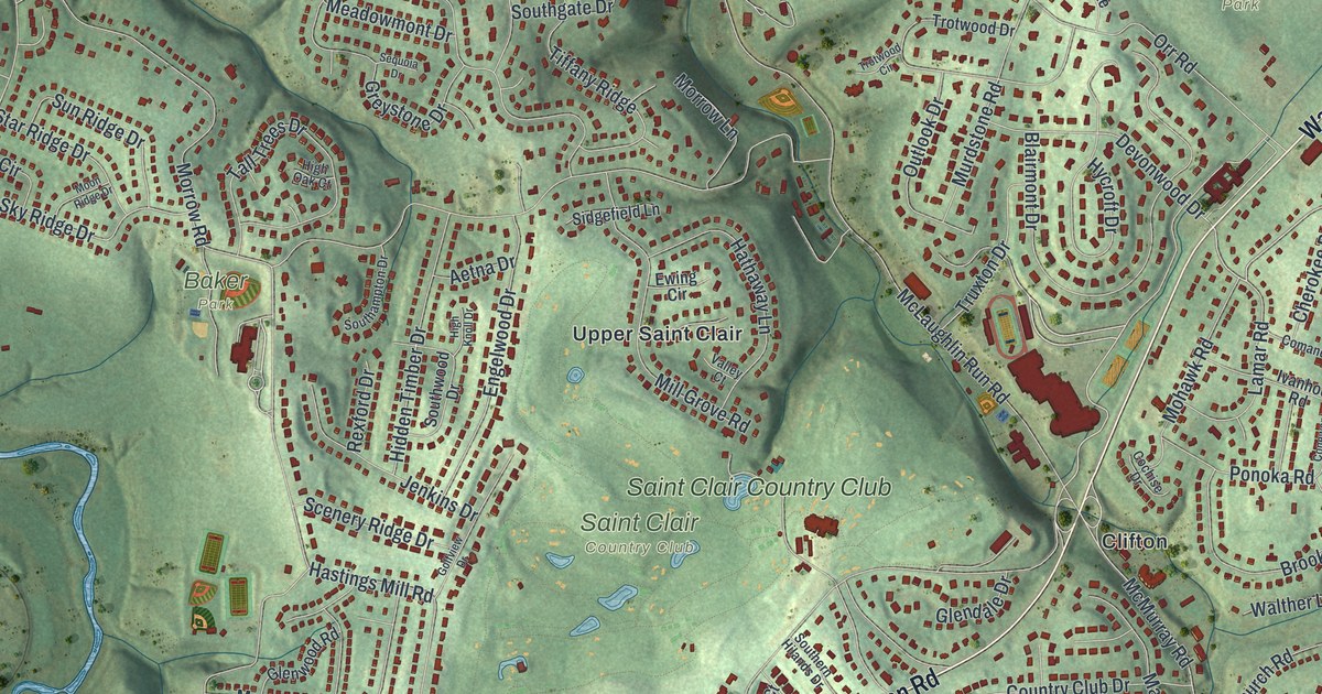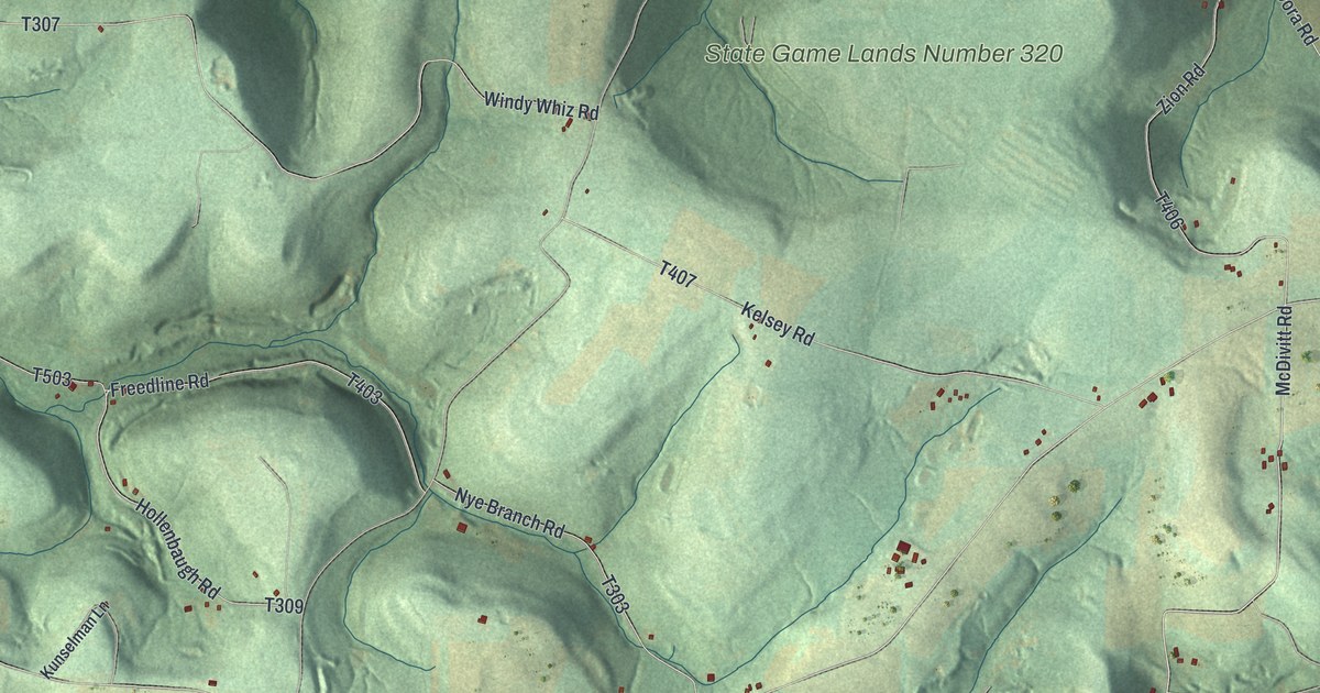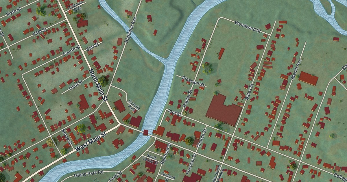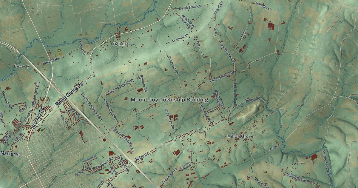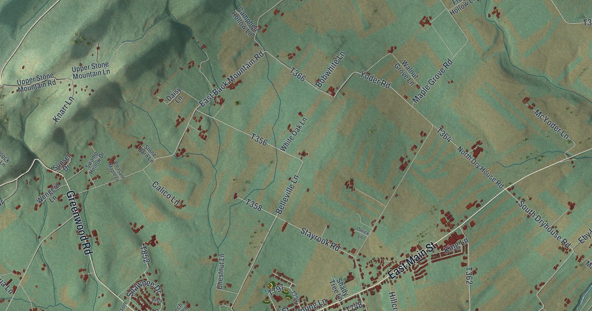
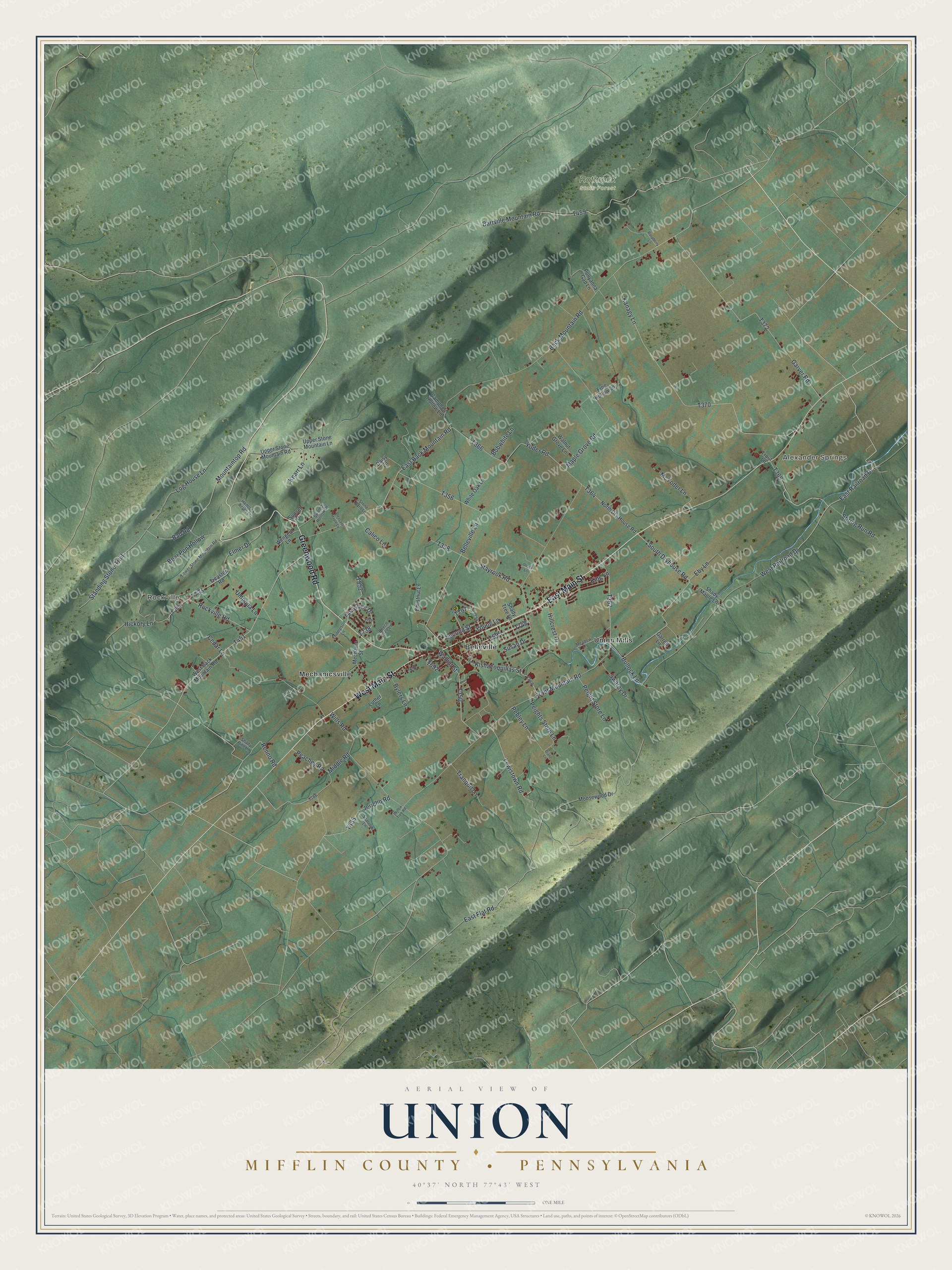
This beautifully detailed map of Union, Mifflin County, Pennsylvania was created in 2026 using aerial imagery combined with modern topographical, census, street and landmark data. It's a modern aerial view of Union, Mifflin County in Mifflin County, Pennsylvania, that combines modern data with a vintage aesthetic. The roads feature printed names, and if you look closely you can find your exact house accurately shown in its correct location.
Explore an aerial view of Union, Mifflin County, Pennsylvania
On this map you'll find Rockville, Alexander Springs, Rothrock State Forest, Belleville, Mechanicsville, Union Mills, West Main Street, East Main Street, Greenwood Road, Spring Run Road, West Railroad Drive, T695, and more. Each red shape is a building, so zoom in on the preview and look for yours.
Here is a piece of Union, Mifflin County history, in the words of the record. The Mifflin PAGenWeb puts it this way: "The township is bounded north by Huntingdon County; east, by Brown township; south, by Jack's mountain, and west by Menno. The Kishacoquillas Creek flows northeasterly through it, and the settlements are along the creek in the Kishacoquillas Valley, reaching back to the foot of the hills."
Union, Mifflin County is a place in Mifflin County. The Census Bureau counted 3,653 people here in 2020.
Take a closer look at the Union, Mifflin County map
Names on this map
These names are printed on this map.
Places: Rockville, Alexander Springs, Rothrock State Forest, Belleville, Mechanicsville and Union Mills.
Streets and roads: West Main Street, East Main Street, Greenwood Road, Spring Run Road, West Railroad Drive, East Railroad Drive, Bad Road, Mountaintop Road, East Back Mountain Road, Renno Road, Back Mountain Road, Shawnee Drive.
More street names, A to Z
Barrville Mountain Road, Bear Pen Hollow, Beech Tree Lane, Belleville Lane, Bobwhite Lane, Bullock Lane, Bylers Lane, Calico Lane, Campbell Hollow Lane, Cedar Lane, Chestnut Lane, Daisy Lane, Diane Lane, East Flat Road, Eby Lane, Elmer Drive, Frog Hollow Lane, Front Mountain Road, Garrett Lane, Garver Road, Hemlock Acres Lane, Hickory Lane, Hillcrest Drive, Jericho Road, Kanagy Lane, King Lane, Kishacoquillas Street, Knarr Lane, Lewistown Road, Locust Lane, Log House Lane, Lower Stone Mountain Road, Luther Lane, Maple Grove Road, McYoder Lane, Meadow Lane, Mechanic Street, Middle Road, Moosewood Drive, North Dry House Road, Olnick Lane, Peachey Road, Pebley Lane, Peights Store Lane, Peight Store Lane, Pleasant Maple Lane, Pollyanna Gap Lane, Raspberry Lane, Rockville Road, Second Street, Shady Maple Lane, Shady Pine Lane, Shady Tree Lane, South Dryhouse Road, Sparrow Lane, Standing Stone Trail, Stayrook Road, Stone Barn Lane, Sunset Drive, Susan Drive, Swamp Hollow Drive, Swarey Drive, Thompson Lane, Tranquil Lane, Treaster Road, Trout Lane, Umpqua Lane, Upper Stone Mountain Lane, Upper Stone Mountain Road, Walnut Grove Lane, Walnut Street, Wengerd Lane, West Back Mountain Road, White Oak Lane, Willow Tree Road, Wills Road, Yoder Road, Young Lane.
Created by KNOWOL in 2026. The buildings are small red shapes, the roads carry their printed names, and shaded relief shows the shape of the land. The title panel reads "AERIAL VIEW OF UNION MIFFLIN COUNTY • PENNSYLVANIA" with 4, 0, °, 3, 7, ', , N, O, R, T, H, , 7, 7, °, 4, 3, ', , W, E, S, T.
It suits a den, a classroom or a front hall, and it makes a gift for anyone with Union, Mifflin County roots. Open the preview and find the block you know. See sizes and frames for the Union, Mifflin County map.