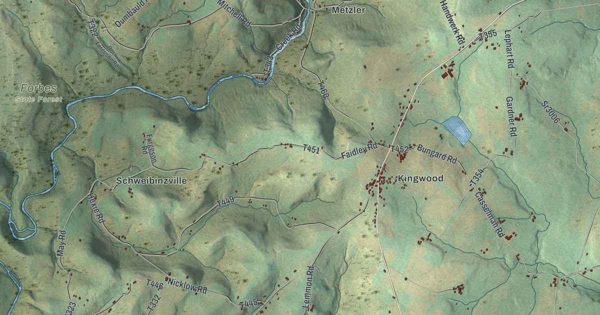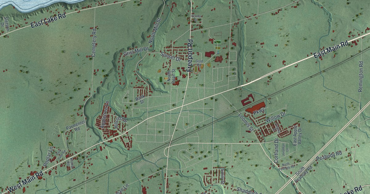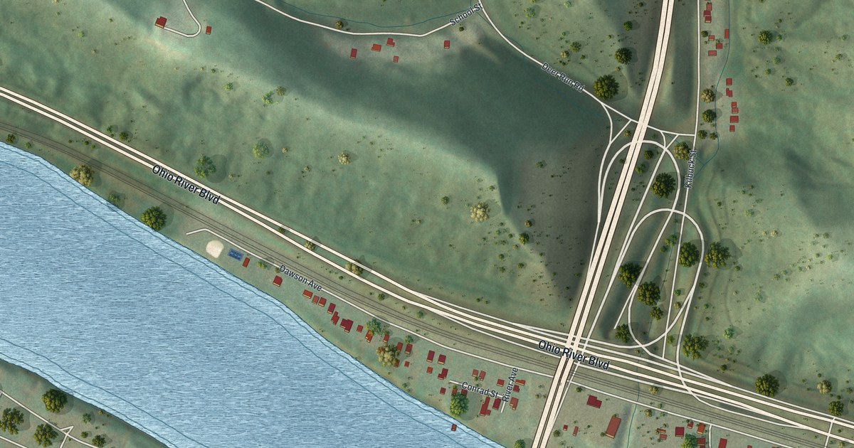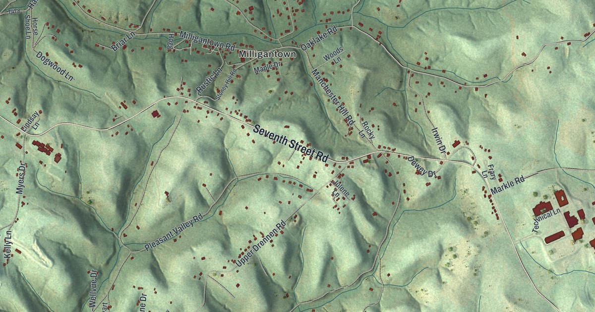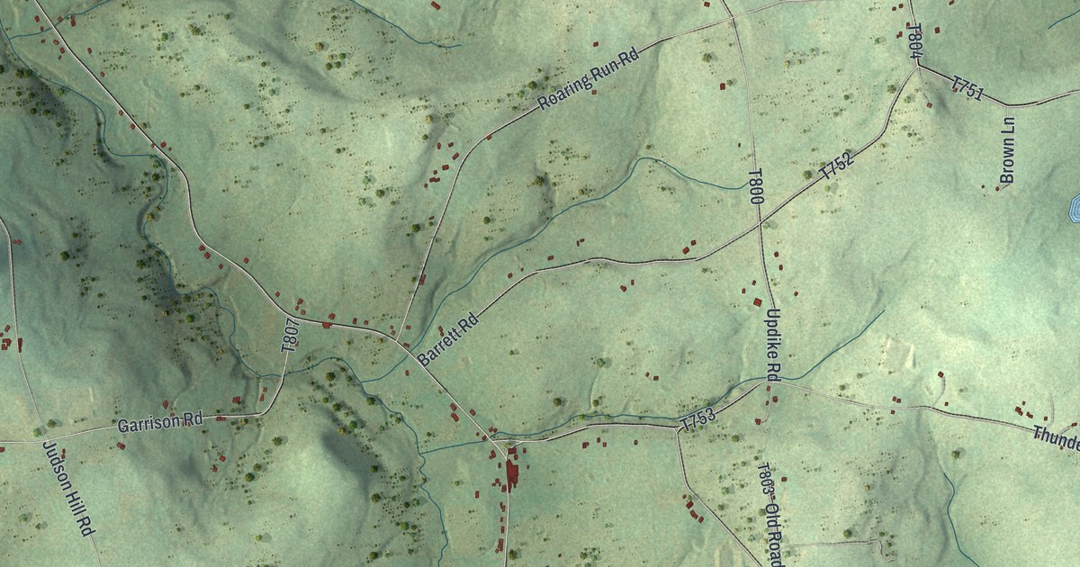
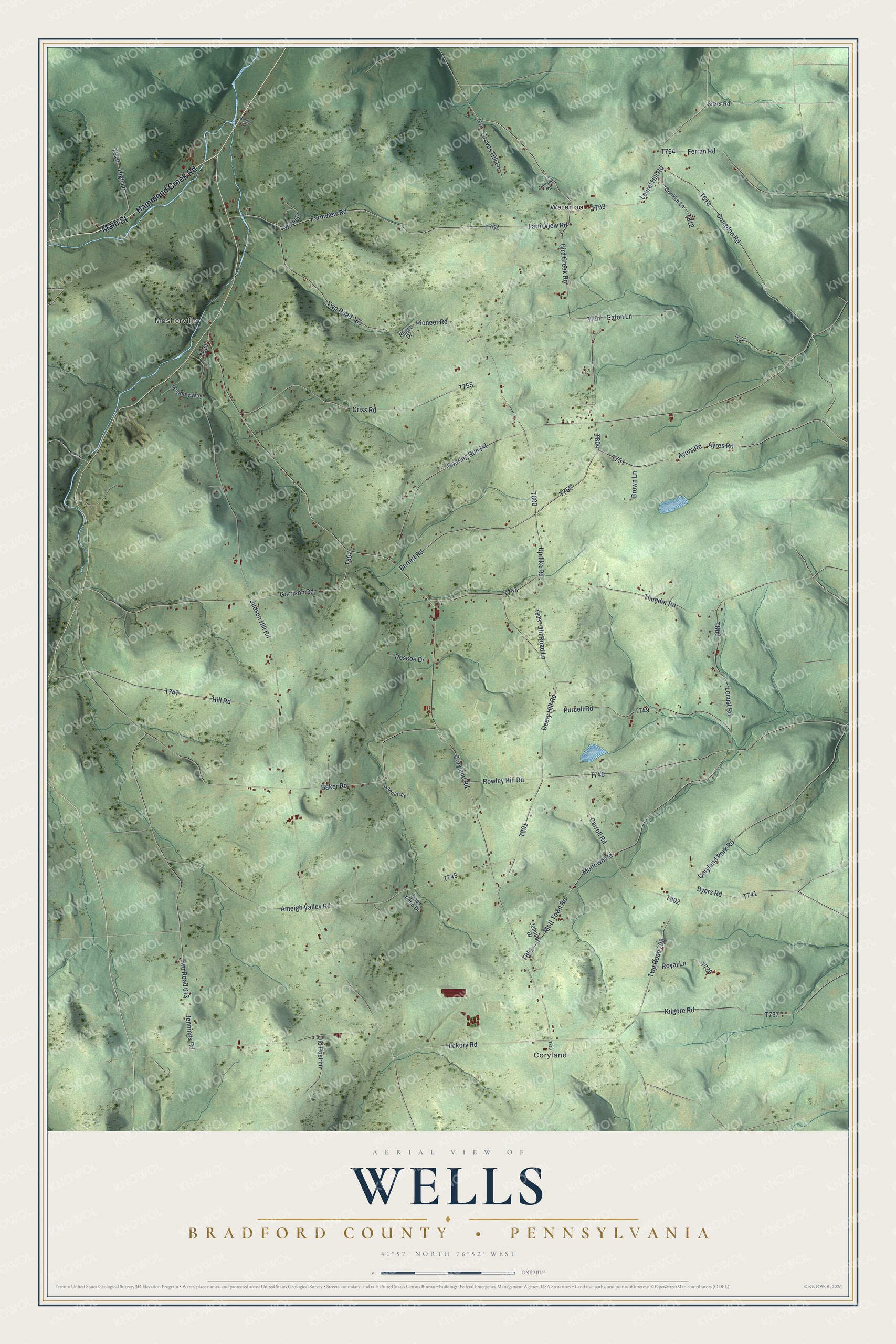
This beautifully detailed map of Wells, Bradford County, Pennsylvania was created in 2026 using aerial imagery combined with modern topographical, census, street and landmark data. It's a modern aerial view of Wells, Bradford County in Bradford County, Pennsylvania, that combines modern data with a vintage aesthetic. The roads feature printed names, and if you look closely you can find your exact house accurately shown in its correct location.
Explore an aerial view of Wells, Bradford County, Pennsylvania
On this map you'll find Coryland, Waterloo, Mosherville, Main Street, Hammond Creek Road, Laurel Hill Road, T763, T812, Bird Creek Road, T804, Hickory Road, Judson Hill Road, and more. Each red shape is a building, so zoom in on the preview and look for yours.
Here is a piece of Wells, Bradford County history, in the words of the record. The Bradford County puts it this way: "Wells Township was officially established in 1813 from Athens Township. The township received its name to honor General Henry Wells. The first permanent settler to arrive in the township was Rev. John Smith in 1792."
Wells, Bradford County is a place in Bradford County. The Census Bureau counted 1,150 people here in 2020.
Take a closer look at the Wells, Bradford County map
Names on this map
These names are printed on this map.
Places: Coryland, Waterloo and Mosherville.
Streets and roads: Main Street, Hammond Creek Road, Laurel Hill Road, Bird Creek Road, Hickory Road, Judson Hill Road, Coryland Road, Roaring Run Road, Updike Road, Ameigh Valley Road, Thunder Road, Baker Road.
More street names, A to Z
Ayers Road, Ayres Road, Barrett Road, Border Drive, Brown Lane, Byers Road, Carroll Road, Congdon Road, Conklin Lane, Coryland Park Road, Criss Road, Deery Hill Road, Docs Pond Drive, Eaton Lane, Farm View Road, Farmview Road, Ferran Road, Garrison Road, Groves Hill Lane, Hannan Lane, High Lane, Hill Road, Jennings Road, Johnson Drive, Kilgore Road, Laurel Lane, Locust Road, Meadow Way, Mottown Road, Mott Town Road, Old Post Lane, Old Road Lane, Pioneer Road, Purcell Road, Roscoe Drive, Rowley Hill Road, Royal Lane, Ruger Drive, Sitzer Road, Twp Road 613, Twp Road 759, Twp Road 798, Unname Road, Wright Drive.
Created by KNOWOL in 2026. The buildings are small red shapes, the roads carry their printed names, and shaded relief shows the shape of the land. The title panel reads "AERIAL VIEW OF WELLS BRADFORD COUNTY • PENNSYLVANIA" with 4, 1, °, 5, 7, ', , N, O, R, T, H, , 7, 6, °, 5, 2, ', , W, E, S, T.
It suits a den, a classroom or a front hall, and it makes a gift for anyone with Wells, Bradford County roots. Open the preview and find the block you know. See sizes and frames for the Wells, Bradford County map.