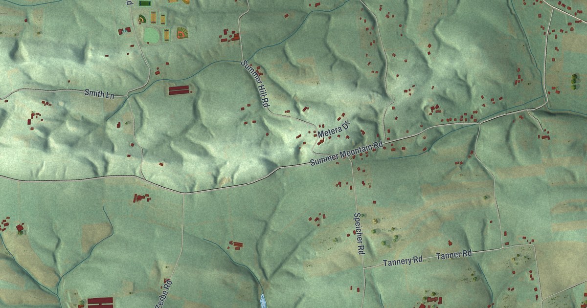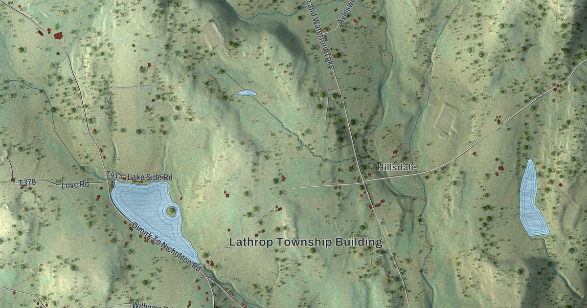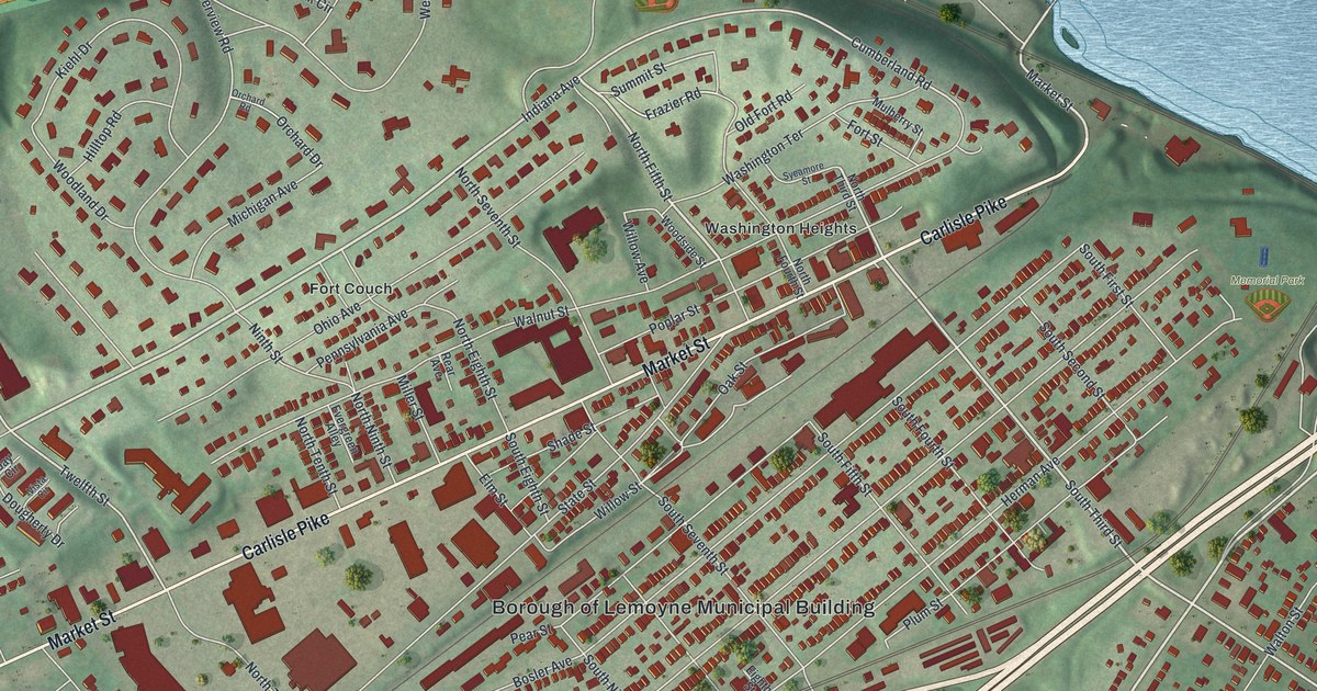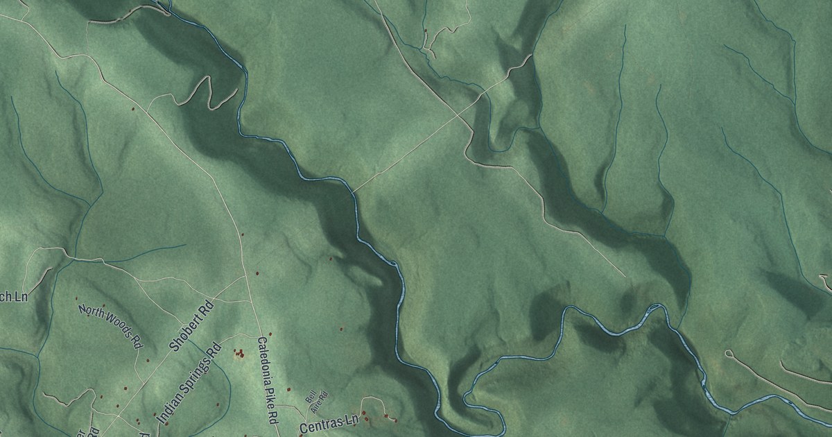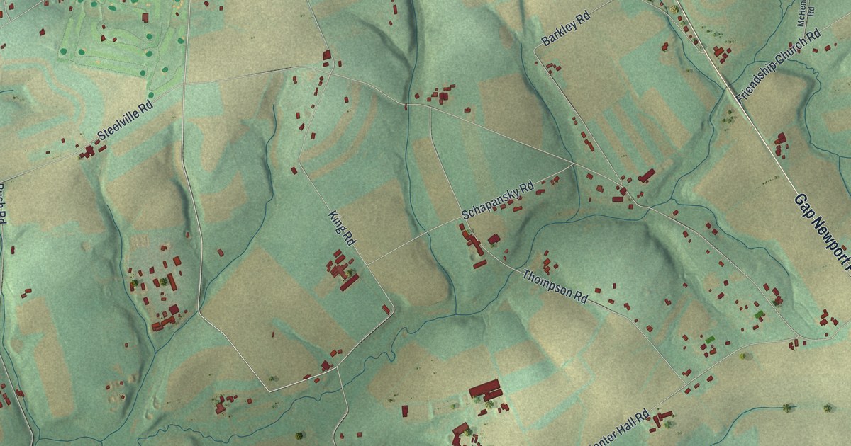
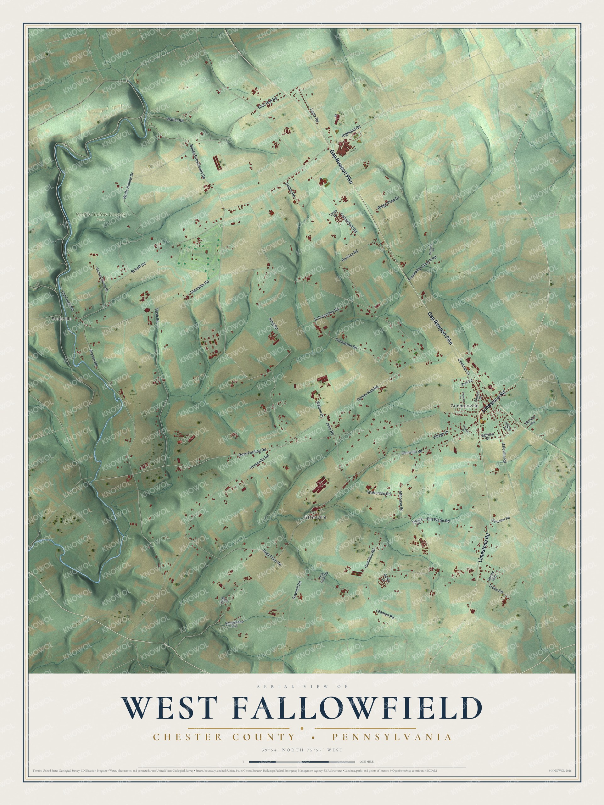
This beautifully detailed map of West Fallowfield, Chester County, Pennsylvania was created in 2026 using aerial imagery combined with modern topographical, census, street and landmark data. It's a modern aerial view of West Fallowfield, Chester County in Chester County, Pennsylvania, that combines modern data with a vintage aesthetic. The roads feature printed names, and if you look closely you can find your exact house accurately shown in its correct location.
Explore an aerial view of West Fallowfield, Chester County, Pennsylvania
On this map you'll find Cochranville, Steelville, Glennville, Wolf's Hollow County Park, Limestone Road, Gap Newport Pike, Bailey Crossroads Road, King Road, Ross Fording Road, Steelville Road, Homeville Road, Glenville Road, and more. Each red shape is a building, so zoom in on the preview and look for yours.
Every town has a first chapter, and West Fallowfield, Chester County is no exception. The LivingPlaces puts it this way: "Established in 1813, the Joseph and Esther Phillips Plantation in West Fallowfield, Chester County, consists of a main house and five outbuildings, all of which, except the carriage house which is being restored, retain outstanding architectural integrity."
West Fallowfield, Chester County is a place in Chester County. The Census Bureau counted 2,459 people here in 2020.
Take a closer look at the West Fallowfield, Chester County map
Names on this map
These names are printed on this map.
Places: Cochranville, Steelville, Glennville and Wolf's Hollow County Park.
Streets and roads: Limestone Road, Gap Newport Pike, Bailey Crossroads Road, King Road, Ross Fording Road, Steelville Road, Homeville Road, Glenville Road, High Point Road, Fallowfield Road, Bryson Road, Glen Run Road.
More street names, A to Z
Althouse Road, Barkley Road, Becky Lane, Bernard Avenue, Burk Road, Bush Road, Center Hall Road, Church Street, Circle Drive, Cochran Street, Criswell Drive, Daleville Road, Dirt Water Road, Dogwood Lane, Friendship Church Road, General Steele Drive, Hamilton Road, Henley Way, Highland Road, Highview Drive, Hilltop Drive, Hog Farm Road, Hostetter Road, Jebb Road, Lantz Road, Leaman Road, Mature Road, McHenry Road, Old Forge Road, Rattlesnake Run, Ridge View Drive, Sawmill Road, Schapansky Road, Schoff Road, Starr Drive, Thompson Road, Troop Road, Umble Road, Village Drive, Walter Road, Walton Drive, Watterson Road, Wolfs Hollow Drive.
Created by KNOWOL in 2026. The buildings are small red shapes, the roads carry their printed names, and shaded relief shows the shape of the land. The title panel reads "AERIAL VIEW OF WEST FALLOWFIELD CHESTER COUNTY • PENNSYLVANIA" with 3, 9, °, 5, 4, ', , N, O, R, T, H, , 7, 5, °, 5, 7, ', , W, E, S, T.
Hang it in the hallway, the office or the cabin, or give it to someone who left West Fallowfield, Chester County and still calls it home. Open the preview and look for a street you know. See sizes and frames for the West Fallowfield, Chester County map.