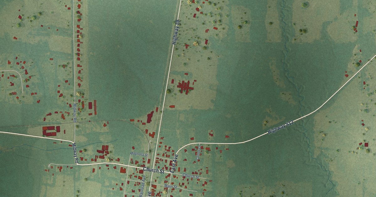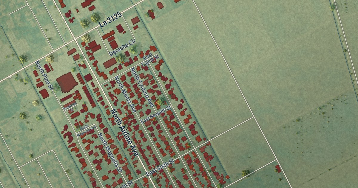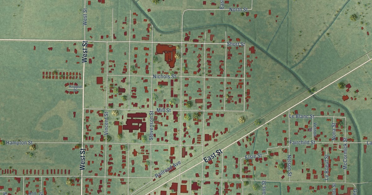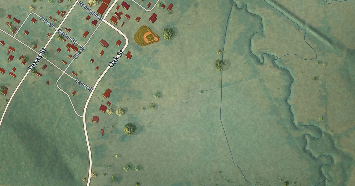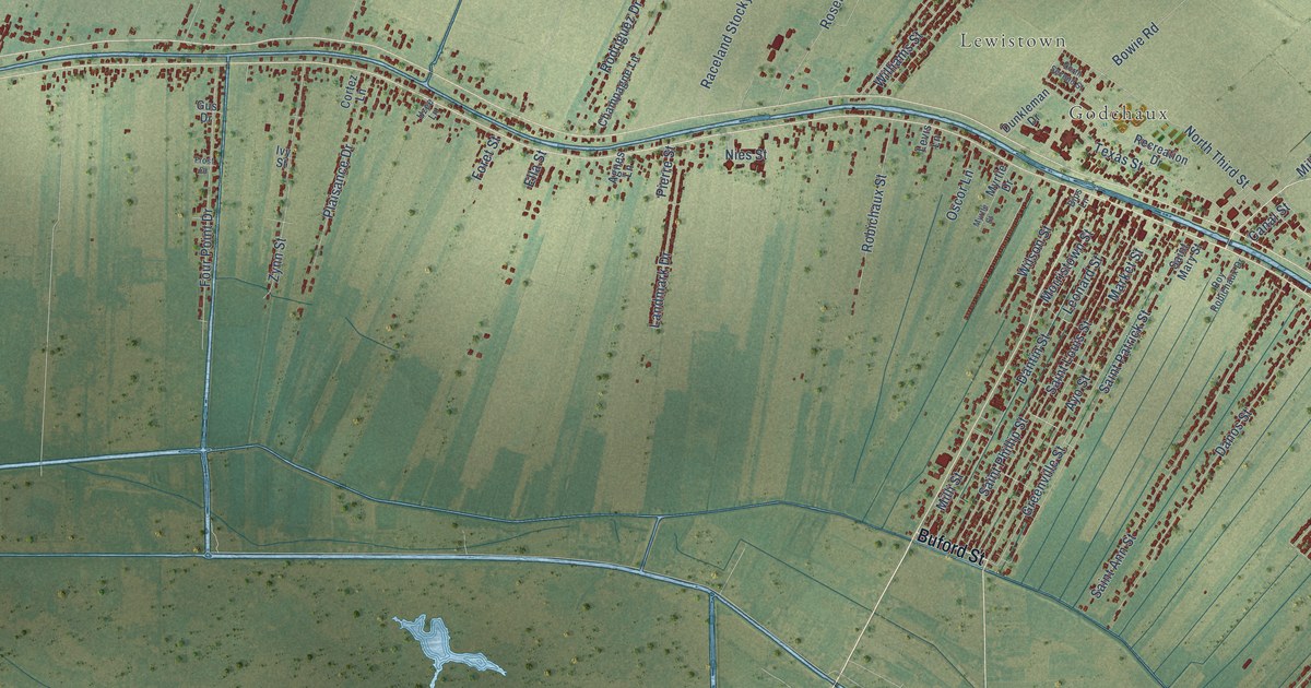
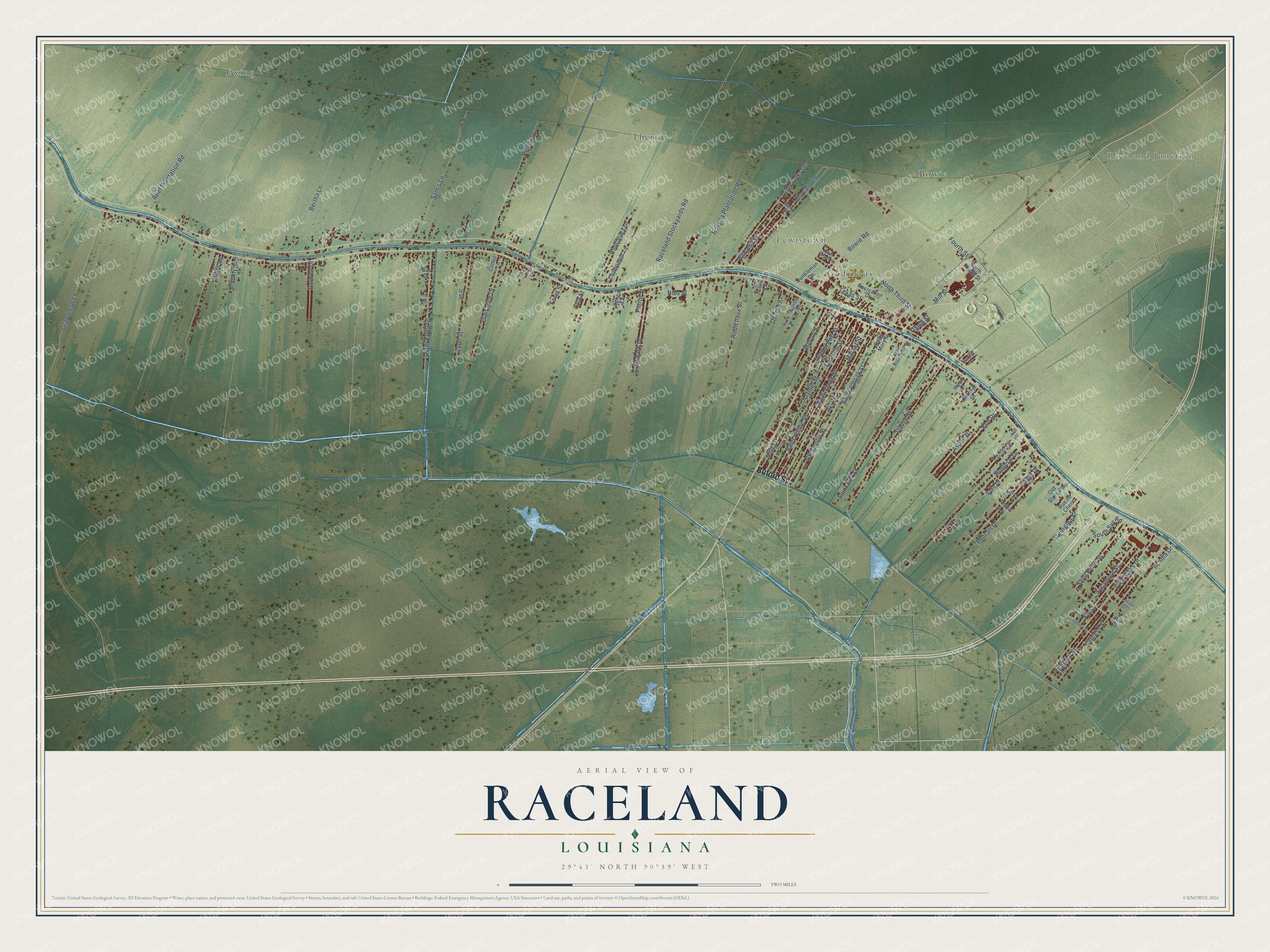
This beautifully detailed map of Raceland, Louisiana was created in 2026 using aerial imagery combined with modern topographical, census, street and landmark data. It's a modern aerial view of Raceland in Lafourche Parish, Louisiana, that combines modern data with a vintage aesthetic. The roads feature printed names, and if you look closely you can find your exact house accurately shown in its correct location.
Explore an aerial view of Raceland, Louisiana
On this map you'll find Raceland Junction, Godchaux, Lewistown, Bowie, Ewing, Theriot, Buford Street, Morristown Street, Rosella Plantation Road, Mill Street, Nies Street, Grandmaw Lane, and more. Each red shape is a building, so zoom in on the preview and look for yours.
Here is a piece of Raceland history, in the words of the record. The Lafourche Gazette puts it this way: "Raceland and Bowie were considered the twin towns of Lafourche with Bowie operating the lumber mill and Raceland getting a colossal sugar mill. Raceland Raw Sugar, LLC was built in 1892 under the ownership of the highly successful Godchaux Sugars, and would solidify the community of Raceland forever."
Raceland is a community in Lafourche Parish. The Census Bureau counted 9,768 people here in 2020.
Take a closer look at the Raceland map
Names on this map
These names are printed on this map.
Places: Raceland Junction, Godchaux, Lewistown, Bowie, Ewing and Theriot.
Streets and roads: Buford Street, Morristown Street, Rosella Plantation Road, Mill Street, Nies Street, Grandmaw Lane, Twin Oaks Drive, Hospital Drive, Greenville Street, Saint Patrick Street, Saint Louis Street, Ayo Street.
More street names, A to Z
Acadia Drive, Agnes Lane, Ariel Plantation Road, Ash Street, Aspen Drive, Bertha Lane, Billys Lane, Bips Lane, Bowie Road, Brocato Lane, Brooklyn Lane, Canal Street, Champagne Lane, Charles Avenue, Chauvin Drive, Church Street, Cortez Lane, Cypress Street, Danos Street, Dantin Street, Darwen Drive, Dunkleman Drive, Eagle Drive, Easy Street, Ella Street, Elm Drive, Fir Street, Foret Street, Four Point Drive, Fourth Street, Frost Drive, Georgina Street, Gus Drive, Hackberry Street, Ivy Street, John Street, Landmark Drive, Lark Lane, Leonard Street, Levis Lane, Locust Street, Louise Drive, Market Street, McNeil Drive, Milli Street, Myrtle Drive, Myrtle Street, North Fourth Street, North Second Street, North Third Street, Old Store Road, Oscor Lane, Pelican Drive, Peltier Drive, Pierre Street, Plaisance Drive, Raceland Stockyards Road, Recreation Drive, Robichaux Street, Robin Lane, Rodriguez Drive, Roy Robichaux Drive, Rue de Chene, Saint Ann Street, Saint Mary Street, Saint Peter Street, Saint Phillip Street, Sako Drive, Sam's Lane, Shady Trailer Pk, South Svc Road, Sycamore Street, Texas Street, Triple Oaks Drive, Uzee Lane, Williams Street, Wilson Street, Zynn Street.
Created by KNOWOL in 2026. The buildings are small red shapes, the roads carry their printed names, and shaded relief shows the shape of the land. The title panel reads "AERIAL VIEW OF RACELAND LOUISIANA" with 29°43' NORTH 90°39' WEST.
It suits a den, a classroom or a front hall, and it makes a gift for anyone with Raceland roots. Open the preview and find the block you know. See sizes and frames for the Raceland map.