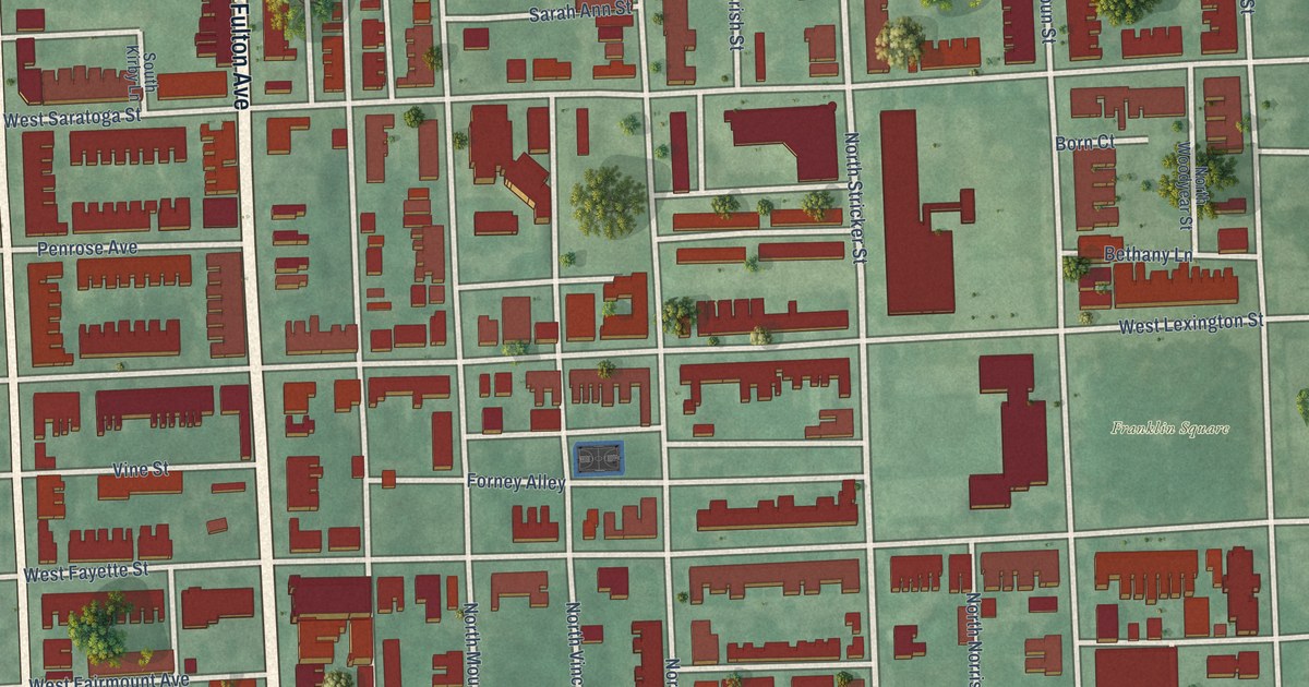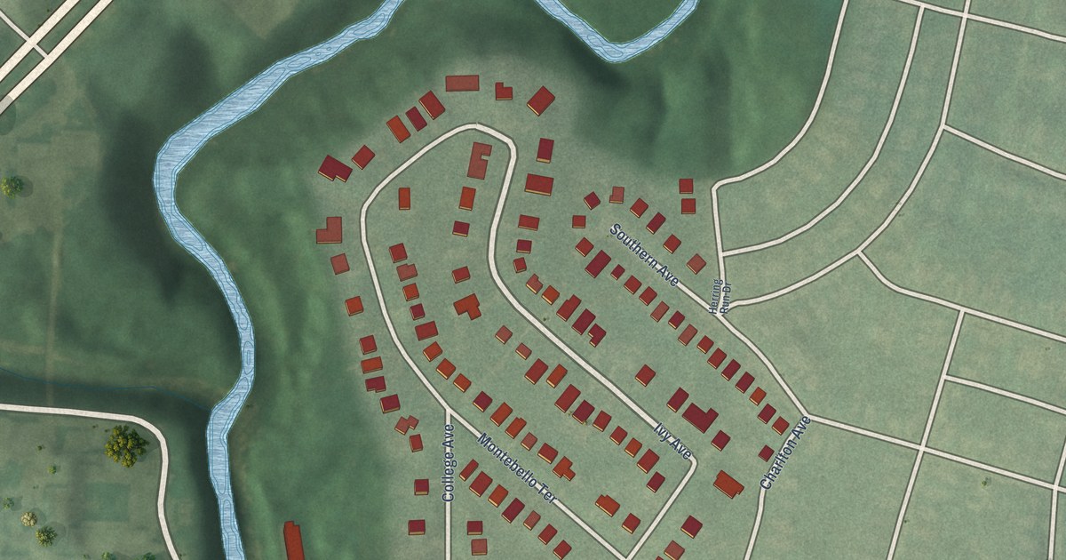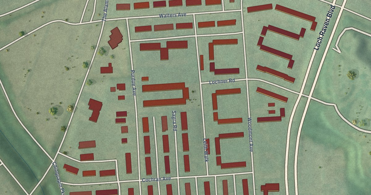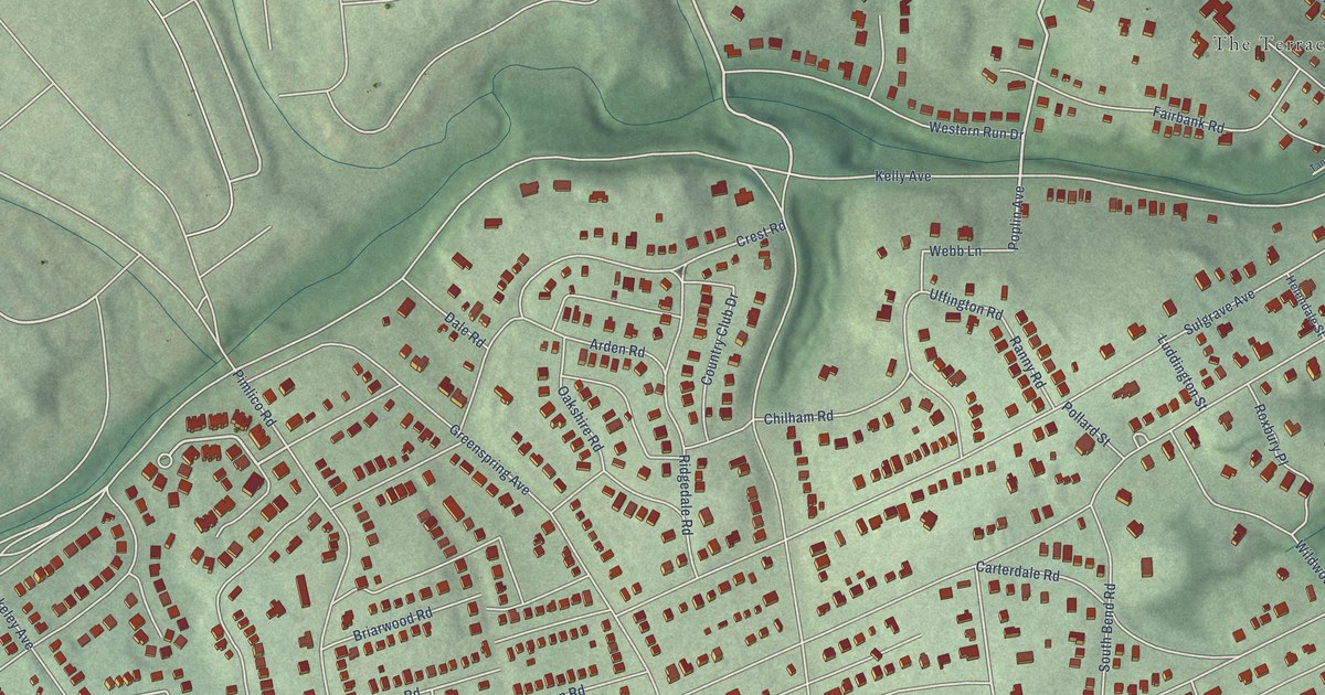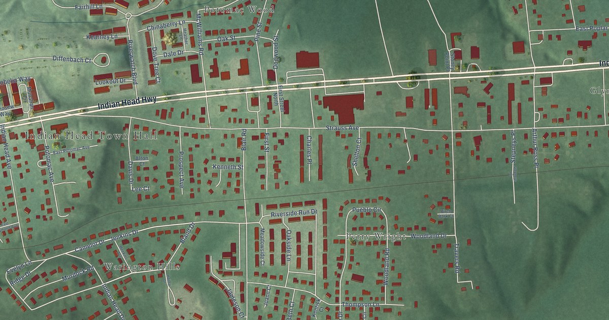
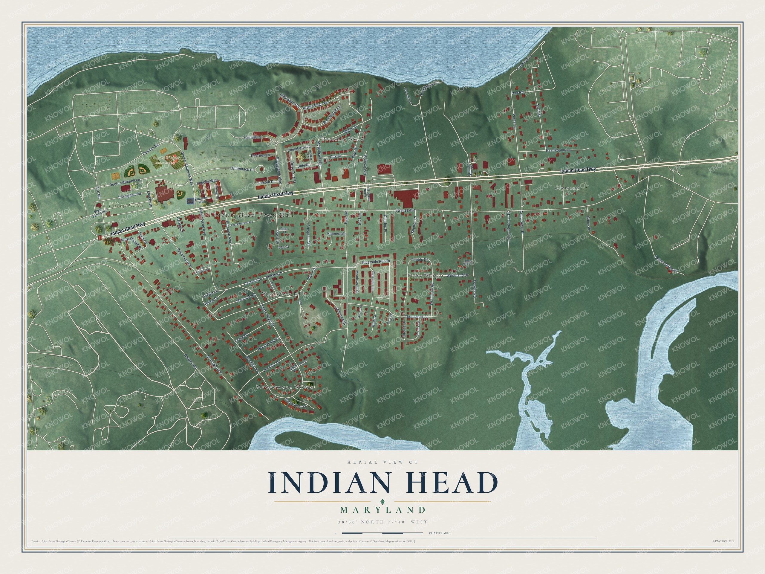
This beautifully detailed map of Indian Head, Maryland was created in 2026 using aerial imagery combined with modern topographical, census, street and landmark data. It's a modern aerial view of Indian Head in Charles County, Maryland, that combines modern data with a vintage aesthetic. The roads feature printed names, and if you look closely you can find your exact house accurately shown in its correct location.
Explore an aerial view of Indian Head, Maryland
On this map you'll find Indian Head Town Hall, Village Green, Charlie Wright Memorial Park, Glymont, Mattawoman Woods, Perry Wright, Potomac Wood, Warington Hills, Indian Head Highway, Camelot Drive, Bland Drive, Jenkins Drive, and more. Each red shape is a building, so zoom in on the preview and look for yours.
Here is a piece of Indian Head history, in the words of the record. The record at services.arcgis.com puts it this way: "Indian Head Site of Indian tribes prior to the first settlers Since 1890 a proving grounds and propellant research center for the United States Navy."
Indian Head is a town in Charles County. The Census Bureau counted 3,894 people here in 2020.
Take a closer look at the Indian Head map
Names on this map
These names are printed on this map.
Places: Indian Head Town Hall, Village Green, Charlie Wright Memorial Park, Glymont, Mattawoman Woods, Perry Wright, Potomac Wood and Warington Hills.
Streets and roads: Indian Head Highway, Camelot Drive, Bland Drive, Jenkins Drive, Strauss Avenue, McWilliams Road, Riverwatch Drive, Riverside Run Drive, Maple Street, Cardinal Lane, Poplar Lane, Prospect Avenue.
More street names, A to Z
Alton Court, Arthur Ross Place, Beecher Avenue, Benson Road, Bertha Circle, Beth Court, Birch Bark Court, Blair Road, Charles Place, Chinaberry Lane, Couden Road, Dale Drive, Davis Drive, Diffenbach Court, Doctor Andrews Way, Doctor Mitchell Lane, Dogwood Street, Dove Tree Court, Earl Road, East Poplar Lane, East Potomac Avenue, East Raymond Avenue, Ellerbe Drive, Evelyn Lane, Fairhill Lane, First Street, First Street North, Gering Court, Gibey Place, Hailey Drive, Heather Lane, Helen Court, Henderson Lane, Indian Head Avenue, Indian Head Drive, Jameson Court, Jennifer Drive, Joann Court, Kearney Lane, Kenneth Street, Kenrick Court, Kinosew Way, Lackey Drive, Lee Court, Leslie Drive, Livingston Road, Lobelia Way, Lookout Drive, Mattawoman Court, Mattingly Avenue, Meadowside Court, Meekins Avenue, Munahan Circle, Murdock Road, Oak Road, Oakside Lane, Oak Street, Parker Harley Place, Park Square Drive, Parran Lane, Pine Street, Potomac Avenue, Pueblo Circle, Raymond Avenue, Ridge Drive, Rivers Edge Terrace, Riverwatch Boulevard, Riverwatch Lane, Sandra Court, Shelton Court, Sixth Street, Stepheys Place, Stepneys Place, Stoney Point Place, Thompson Lane, Town Street, Travers Road, West Patton Road, Woodland Drive, Woodland Road, Woodsome Drive.
Created by KNOWOL in 2026. The buildings are small red shapes, the roads carry their printed names, and shaded relief shows the shape of the land. The title panel reads "AERIAL VIEW OF INDIAN HEAD MARYLAND" with 38°36' NORTH 77°10' WEST.
It suits a den, a classroom or a front hall, and it makes a gift for anyone with Indian Head roots. Open the preview and find the block you know. See sizes and frames for the Indian Head map.