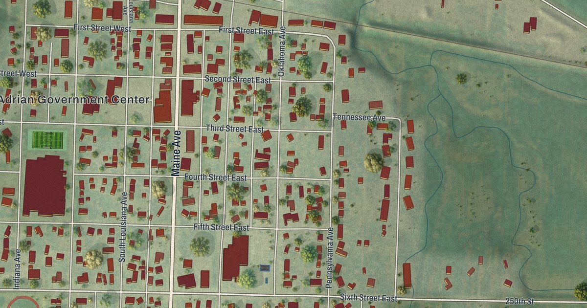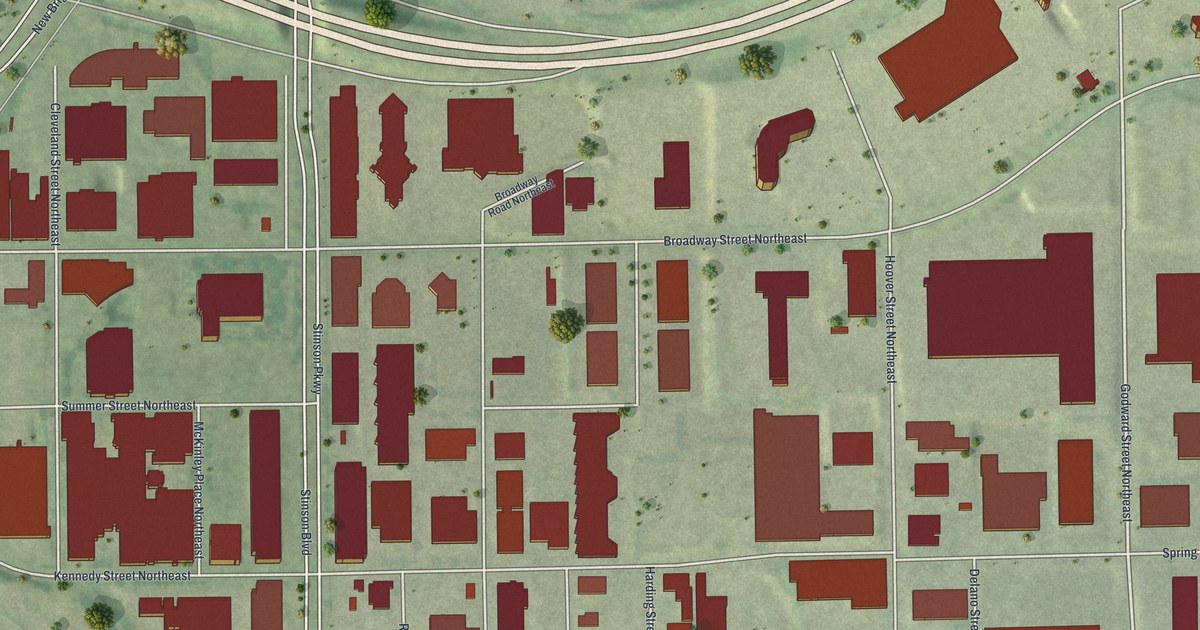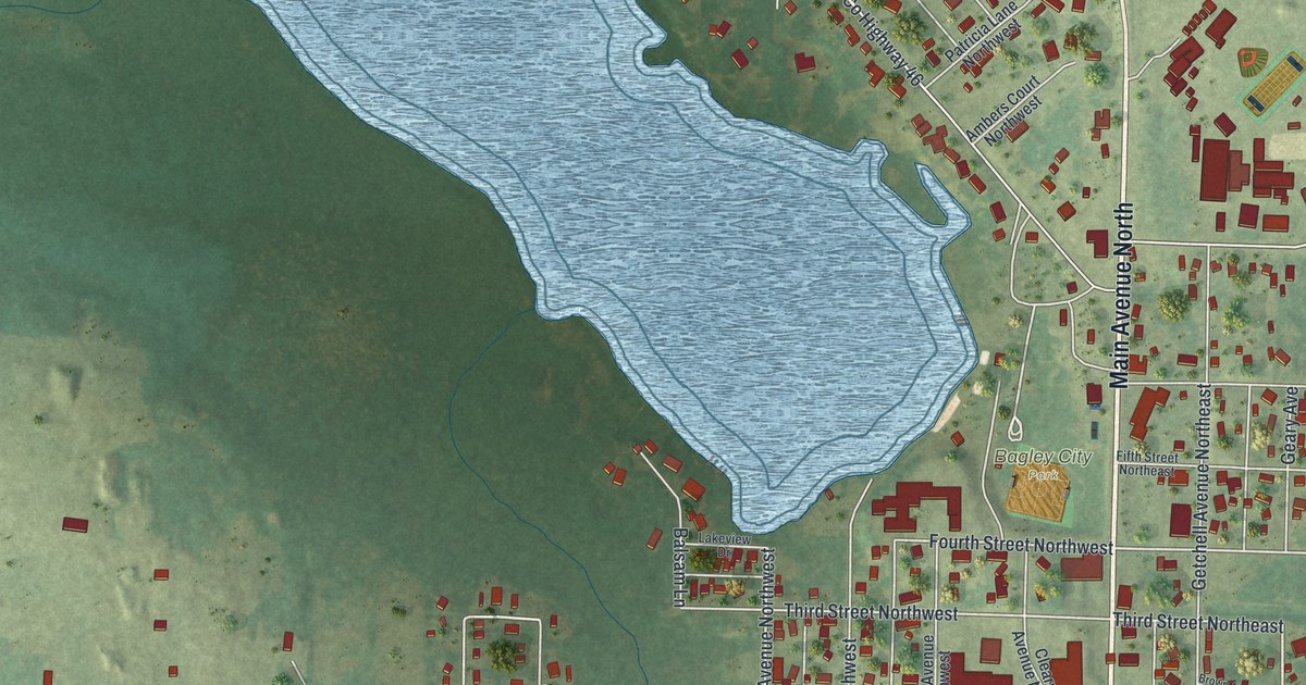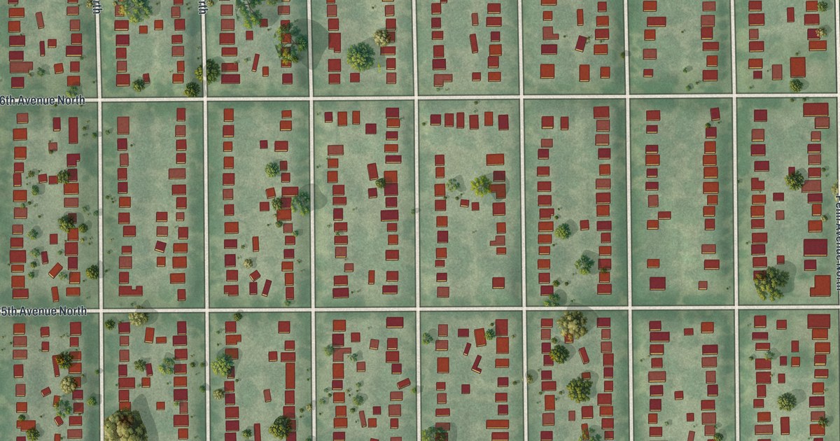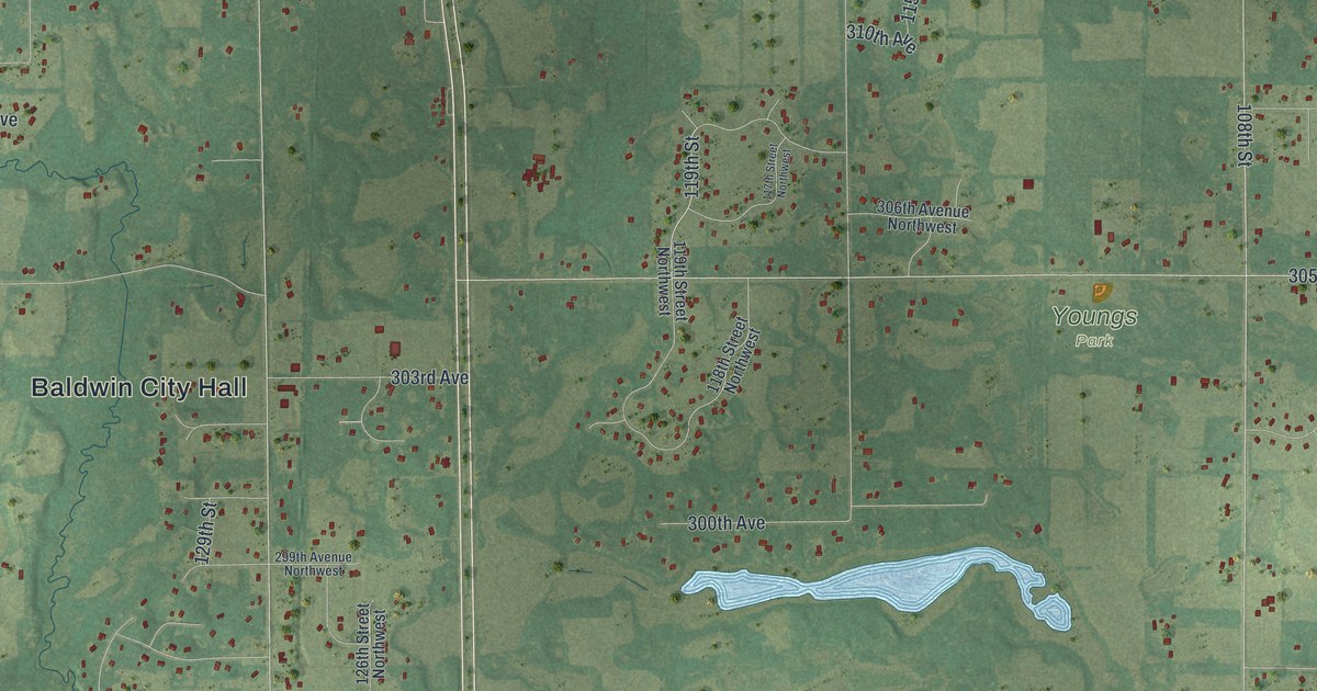
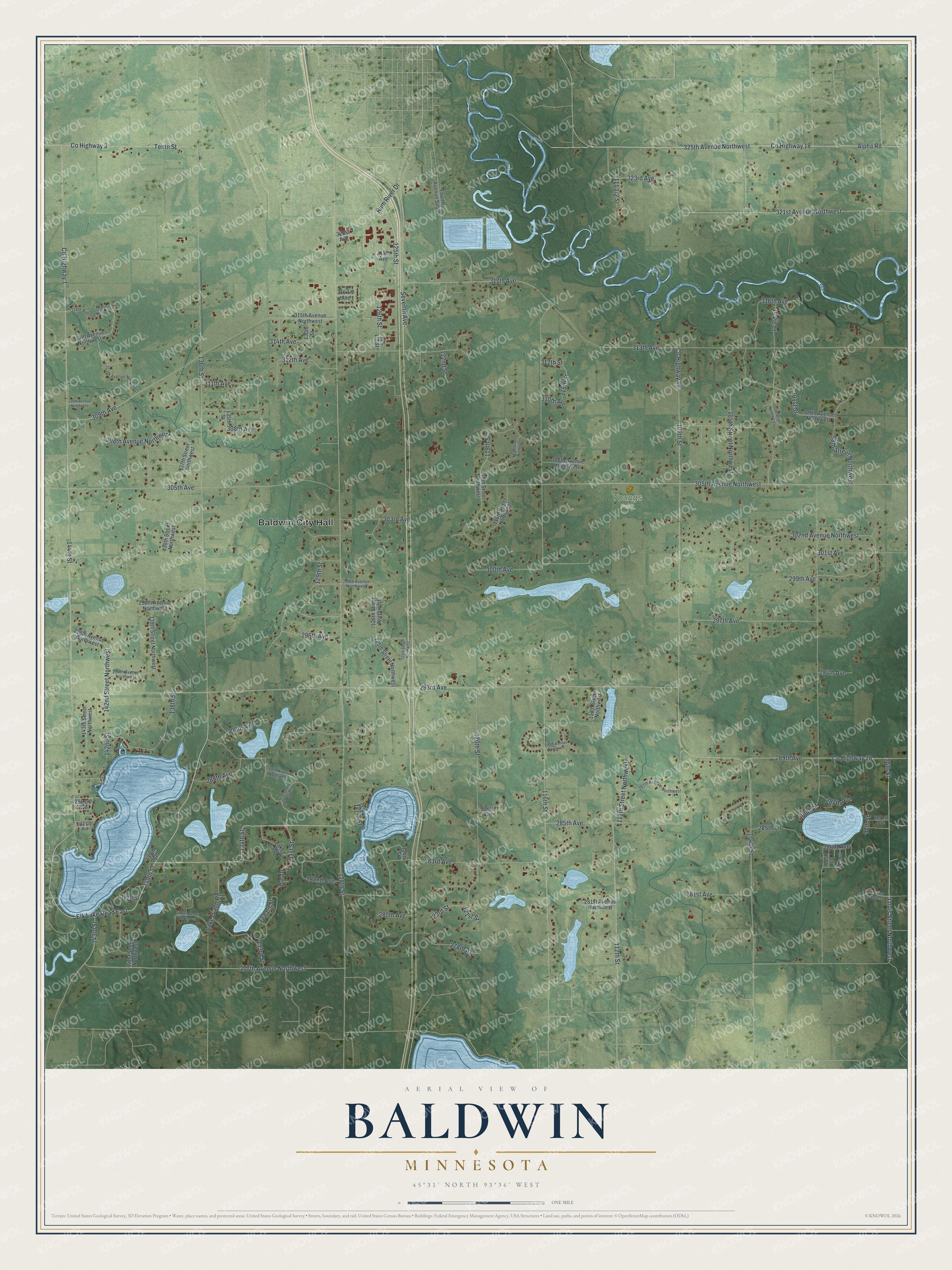
This beautifully detailed map of Baldwin, Minnesota was created in 2026 using aerial imagery combined with modern topographical, census, street and landmark data. It's a modern aerial view of Baldwin in Sherburne County, Minnesota, that combines modern data with a vintage aesthetic. The roads feature printed names, and if you look closely you can find your exact house accurately shown in its correct location.
Explore an aerial view of Baldwin, Minnesota
On this map you'll find Baldwin City Hall, Youngs Park, 144th Street, Elk Lake Road East, 140th Street, 143rd Street, 285th Avenue, 325th Avenue Northwest, Alpha Road, Rum River Drive, 134th Street, Co Highway 18, and more. Each red shape is a building, so zoom in on the preview and look for yours.
Here is a piece of Baldwin history, in the words of the record. The Internet Archive puts it this way: "Baldwin township, first settled in 1854 and organized September 13,
1858, received this name in honor of Francis Eugene Baldwin, of Clear
Lake township."
Baldwin is a city in Sherburne County.
Take a closer look at the Baldwin map
Names on this map
These names are printed on this map.
Places: Baldwin City Hall and Youngs Park.
Streets and roads: 144th Street, Elk Lake Road East, 140th Street, 143rd Street, 285th Avenue, 325th Avenue Northwest, Alpha Road, Rum River Drive, 134th Street, County Highway 18, County Highway 1, 277th Avenue Northwest.
More street names, A to Z
96th Street, 97th Street, 97th Street Northwest, 98th Street Northwest, 99th Street, 100th Street, 101st Street, 103rd Street, 103rd Street Northwest, 104th Street, 105th Street Northwest, 108th Street, 111th Street Northwest, 112th Street, 113th Street Northwest, 115th Street, 116th Street, 117th Street Northwest, 118th Street Northwest, 119th Street, 119th Street Northwest, 120th Street, 121st Street, 122nd Street, 123rd Street, 124th Street, 124th Street Northwest, 125th Street, 125th Street Northwest, 126th Street, 126th Street Northwest, 127th Street, 128th Street, 129th Street, 130th Street, 131st Street, 131st Street Northwest, 133rd Street, 135th Street, 136th Street, 137th Street Northwest, 138th Street, 138th Street Northwest, 139th Street, 139th Street Northwest, 141st Street, 141st Street Northwest, 142nd Street, 142nd Street Northwest, 143rd Street Northwest, 278th Avenue, 279th Avenue Northwest, 280th Avenue, 281st Avenue, 281st Avenue Northwest, 282nd Avenue, 283rd Avenue, 284th Avenue, 285th Lane, 286th Avenue, 287th Avenue, 287th Avenue Northwest, 288th Avenue, 288th Avenue Northwest, 289th Avenue, 290th Avenue, 290th Avenue Northwest, 293rd Avenue, 294th Avenue, 294th Avenue Northwest, 296th Avenue, 296th Avenue Northwest, 297th Avenue, 298th Avenue Northwest, 299th Avenue, 299th Avenue Northwest, 300th Avenue, 301st Avenue, 302nd Avenue Northwest, 303rd Avenue, 305th Avenue, 305th Avenue Northwest, 306th Avenue Northwest, 308th Avenue, 308th Avenue Northwest, 309th Avenue, 309th Avenue Northwest, 310th Avenue, 310th Avenue Northwest, 311th Avenue, 311th Avenue Northwest, 312th Avenue, 312th Street, 313th Avenue, 314th Avenue, 314th Avenue Northwest, 315th Avenue Northwest, 316th Avenue, 316th Avenue Northwest, 317th Avenue, 319th Avenue, 320th Avenue, 321st Avenue Northwest, 323rd Avenue, County Highway 3, County Highway 19, County Highway 28, Fourth Avenue South, Jarvis Street Northwest, Lake Diann Road, Lake Place Road, Par Drive, Seventh Avenue, Tenth Street.
Created by KNOWOL in 2026. The buildings are small red shapes, the roads carry their printed names, and shaded relief shows the shape of the land. The title panel reads "AERIAL VIEW OF BALDWIN MINNESOTA" with 4, 5, °, 3, 1, ', , N, O, R, T, H, , 9, 3, °, 3, 6, ', , W, E, S, T.
It suits a den, a classroom or a front hall, and it makes a gift for anyone with Baldwin roots. Open the preview and find the block you know. See sizes and frames for the Baldwin map.