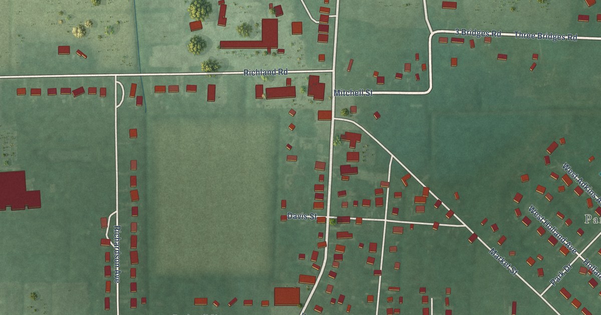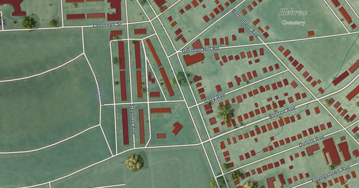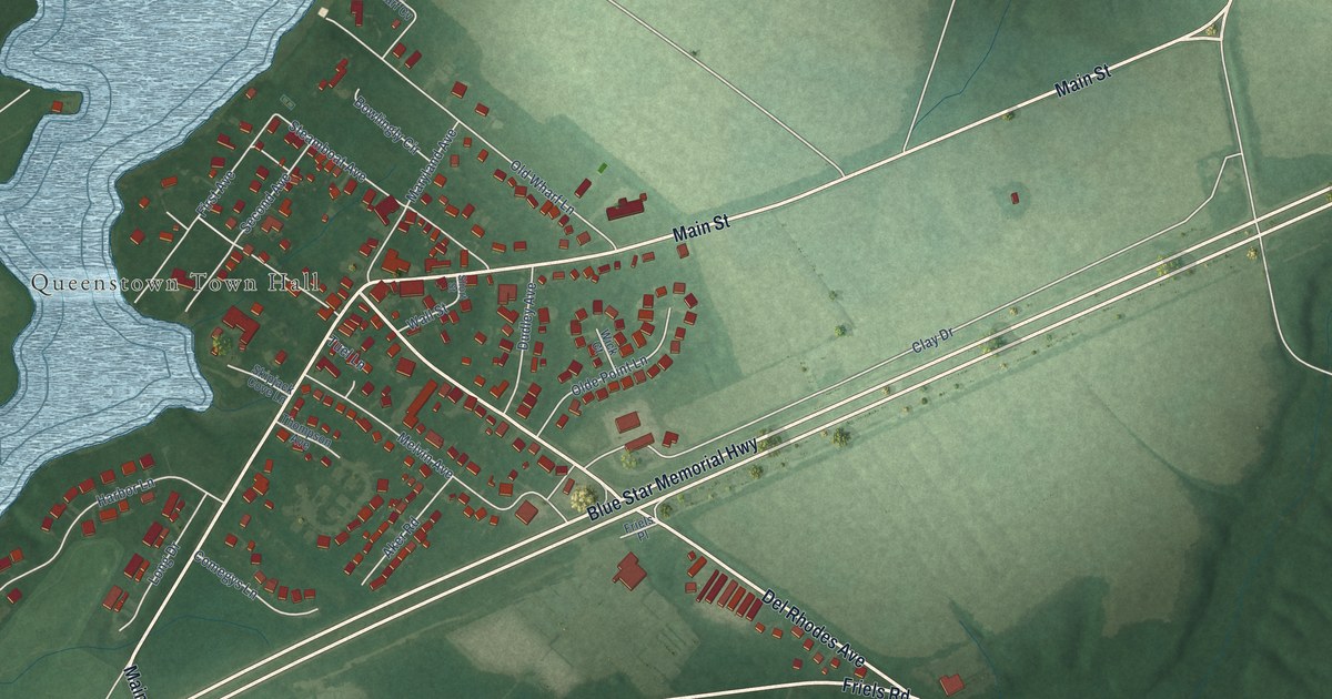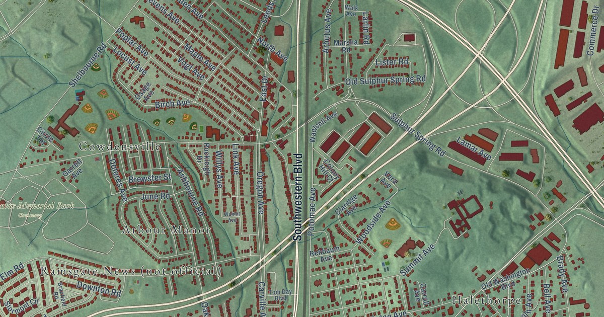
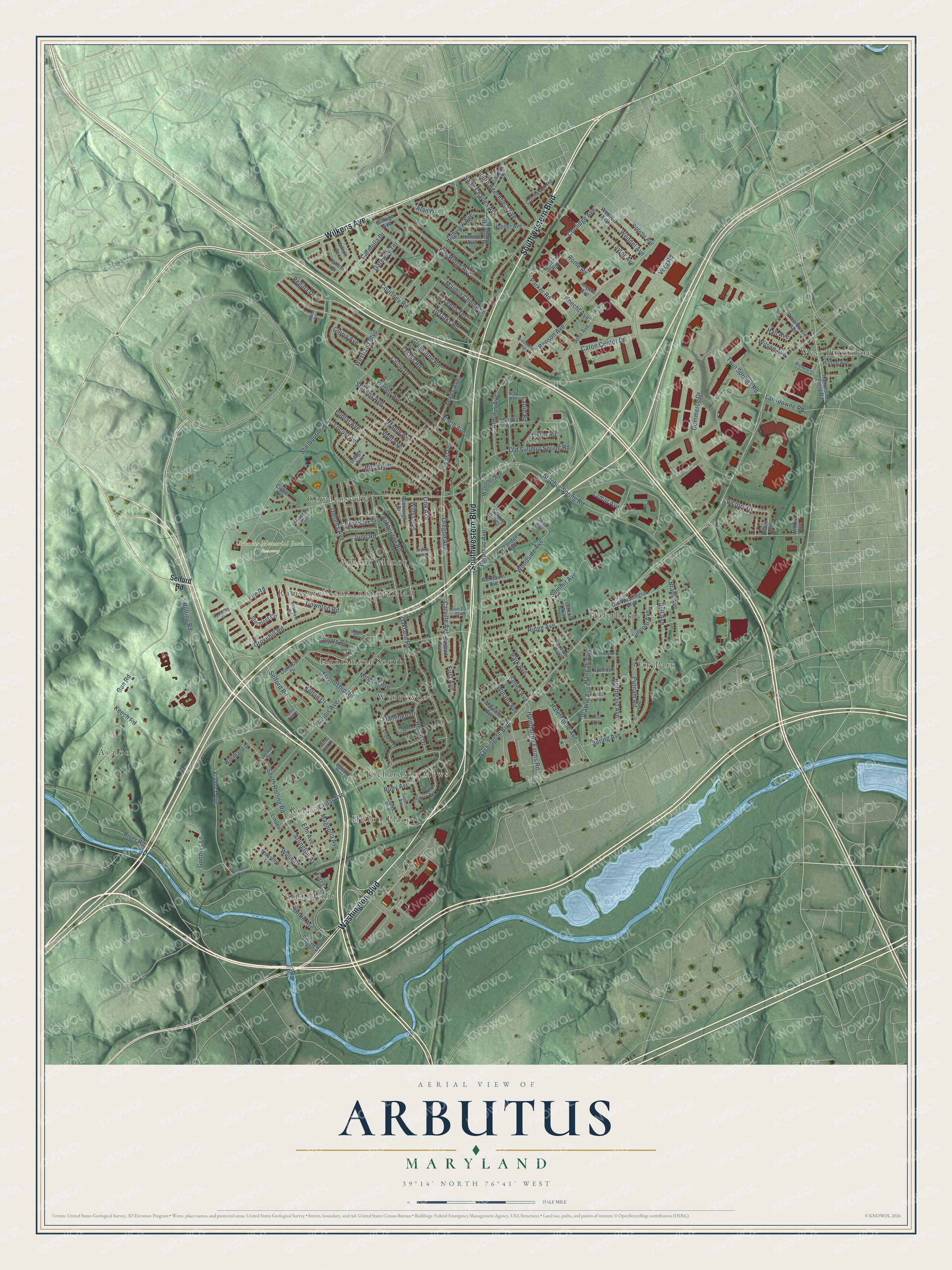
This beautifully detailed map of Arbutus, Maryland was created in 2026 using aerial imagery combined with modern topographical, census, street and landmark data. It's a modern aerial view of Arbutus in Baltimore County, Maryland, that combines modern data with a vintage aesthetic. The roads feature printed names, and if you look closely you can find your exact house accurately shown in its correct location.
Explore an aerial view of Arbutus, Maryland
On this map you'll find Arbutus Memorial Park Cemetery, Arbour Manor, Avalon, Cowdensville, Halethorpe, Hilton Place, Huntsmoor South, Oak Park, Ramsgate News (not official), Relay, Richardson Mews, Saint Denis, and more. Each red shape is a building, so zoom in on the preview and look for yours.
Arbutus has a story worth telling. The Historical Marker Database puts it this way: "The Halethorpe Colored School stands as a testament to the determined efforts of African Americans to secure access to basic education during the era of segregation. Built in 1924, the school was funded through the collective contributions of the East Halethorpe residents, the Julius Rosenwald Fund, and Baltimore County."
Arbutus is a community in Baltimore County.
Take a closer look at the Arbutus map
Names on this map
These names are printed on this map.
Places: Arbutus Memorial Park Cemetery, Arbour Manor, Avalon, Cowdensville, Halethorpe, Hilton Place, Huntsmoor South, Oak Park, Relay, Richardson Mews, Saint Denis, West Baltimore and Wynnewood.
Streets and roads: Southwestern Boulevard, Wilkens Avenue, Washington Boulevard, Circle Drive, Twin Springs Road, Selford Road, Victory Drive, South Rolling Road, Knecht Avenue, Cedar Avenue, Caton Center Drive, Arlington Avenue.
More street names, A to Z
7 Oaks Road, 10 Oaks Road, Alan Drive, Angela Avenue, Arbutus Avenue, Arline Avenue, Ashbourne Road, Azar Court, Bell Avenue, Benson Avenue, Birch Avenue, Brady Avenue, Braun Avenue, Braxfield Road, Brewster Street, Carmella Drive, Carroll Avenue, Carville Avenue, Circle Place, Circle Terrace, Claridge Avenue, Clarke Boulevard, Colchester Road, College Avenue, Colony Hill Court, Commerce Drive, Coolidge Avenue, Courtney Road, Dolores Avenue, Downton Road, East Drive, East Street, Elm Avenue, Elm Ridge Avenue, Elm Road, Fairview Avenue, Fallen Tree Court, First Avenue, Flamingo Drive, Forsythia Lane, Francis Avenue, Friendship Road, Garrett Avenue, Gateway Terrace, Gloria Avenue, Greystone Road, Grovehill Road, Gundrys Lane, Gun Road, Halethorpe Avenue, Halethorpe Farms Road, Hall Avenue, Hammonds Ferry Road, Hannah Avenue, Heron Drive, Highview Avenue, Hillside Avenue, Hilltop Avenue, Hooper Avenue, Ingate Road, Ingate Terrace, Jeanne Avenue, John Avenue, June Road, Kallan Court, Keech Road, Lamar Avenue, Lansdowne Road, Larlin Road, Leeds Avenue, Leeds Terrace, Legrand Court, Leola Avenue, Lincoln Avenue, Linden Avenue, Linden Lane, Link Avenue, Lister Road, Locust Avenue, Magnolia Avenue, Maiden Choice Lane, Maple Avenue, Marsha Road, Mayfield Avenue, Michele Court, Mineral Avenue, North Avenue, Northeast Avenue, Oakland Road, Oakmoor Drive, Old Sulphur Spring Road, Old Washington Boulevard, Oregon Avenue, Osage Avenue, Palladi Drive, Palo Circle, Palo Court, Park Avenue, Parker Road, Pistorio Road, Plover Drive, Poplar Avenue, Potomac Avenue, Prestolite Road, Putnam Road, Railroad Avenue, Ramsgate Court, Raven Drive, Regina Drive, Rehbaum Avenue, Richardson Mews Square, Ridge Avenue, Ridge Drive, Rittenhouse Avenue, River Road, Rockleigh Drive, Rolling Road, Rome Road, Ruby Avenue, Saint Charles Avenue, Second Avenue, Selma Avenue, Shelbourne Road, South Beechfield Avenue, South Street, Spencer Street, Spring Avenue, Stevens Avenue, Stormont Circle, Sulphur Spring Road, Summit Avenue, Superior Avenue, Sutton Avenue, Taylor Avenue, Tom Day Boulevard, Vera Avenue, Vero Road, Viaduct Avenue, Violette Avenue, Vogt Avenue, Waelchli Avenue, Walk Avenue, Walnut Avenue, Washington Street, Weddel Avenue, Weddell Avenue, West Drive, West End Court, Westland Boulevard, Willis Drive, Willow Avenue, Willys Avenue, Wilson Avenue, Wilton Drive, Winans Avenue, Woodland Drive, Woodside Avenue.
Created by KNOWOL in 2026. The buildings are small red shapes, the roads carry their printed names, and shaded relief shows the shape of the land. The title panel reads "AERIAL VIEW OF ARBUTUS MARYLAND" with 39°14' NORTH 76°41' WEST.
It looks right in a kitchen, an office or a den, and it's a gift for anyone who grew up in Arbutus or moved away. Open the preview and find your street. See sizes and frames for the Arbutus map.