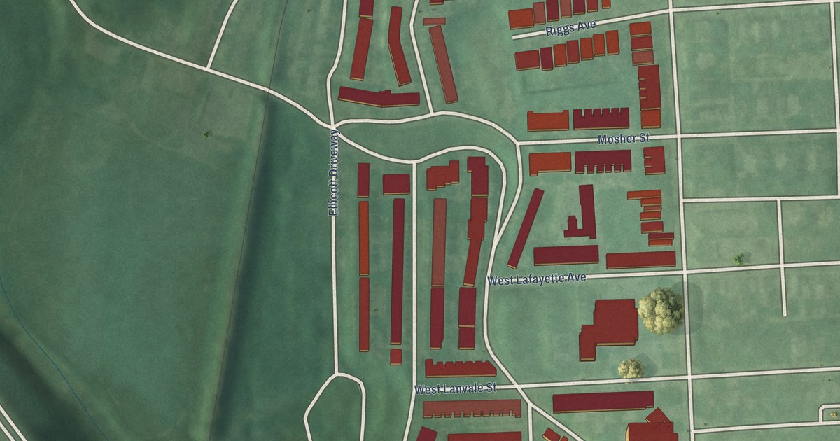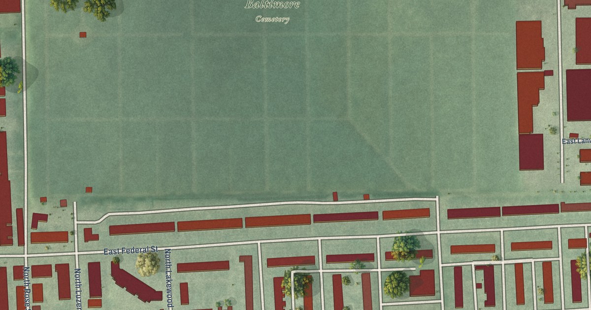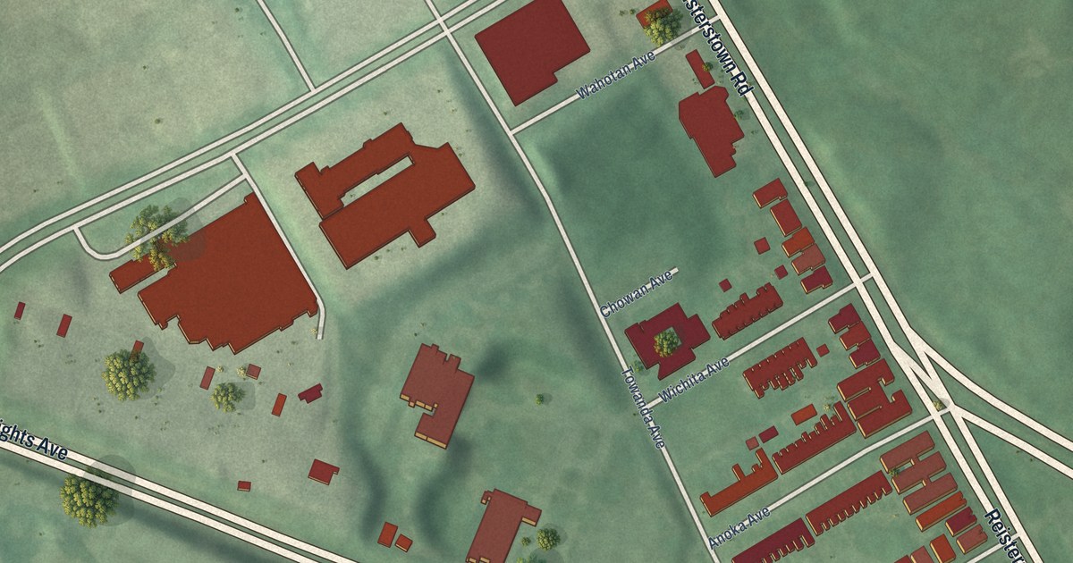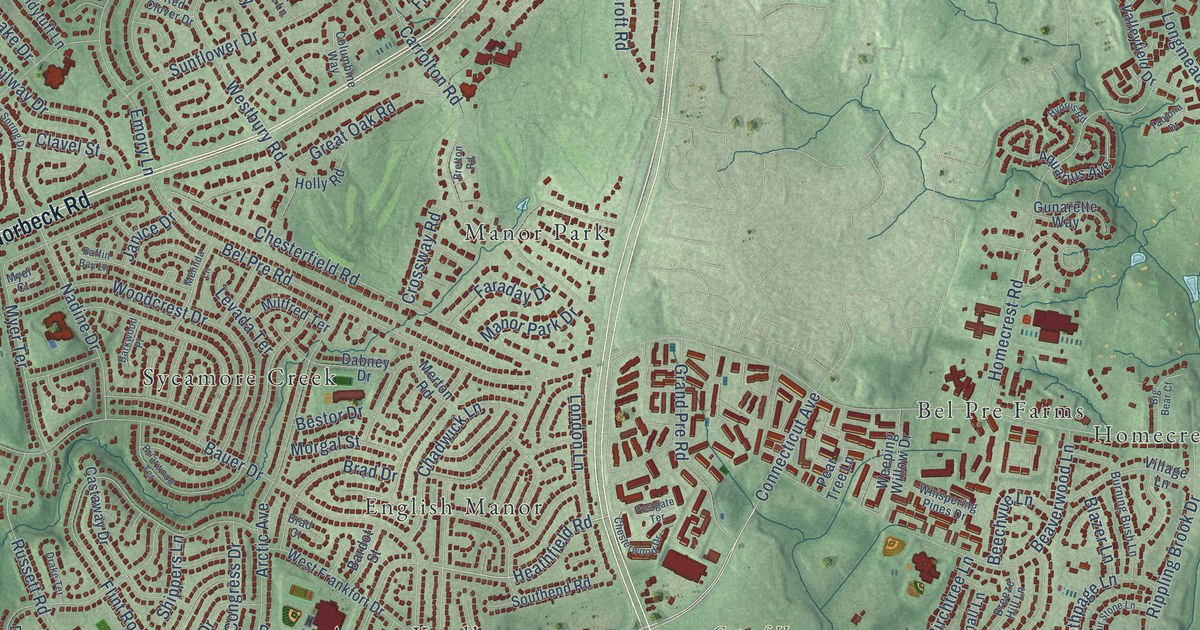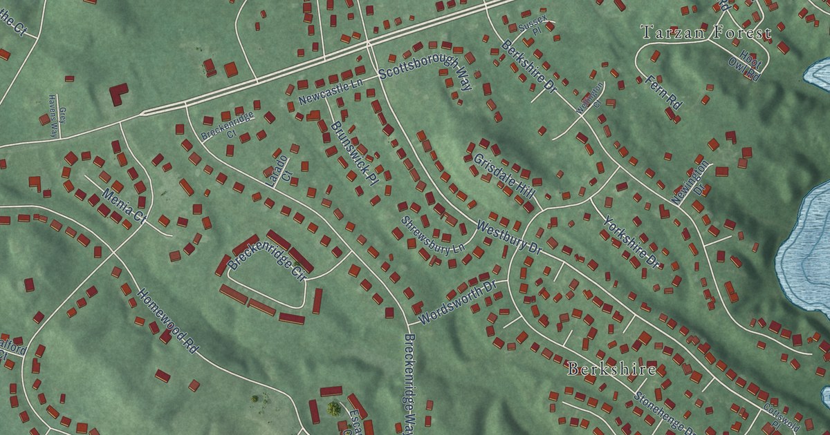
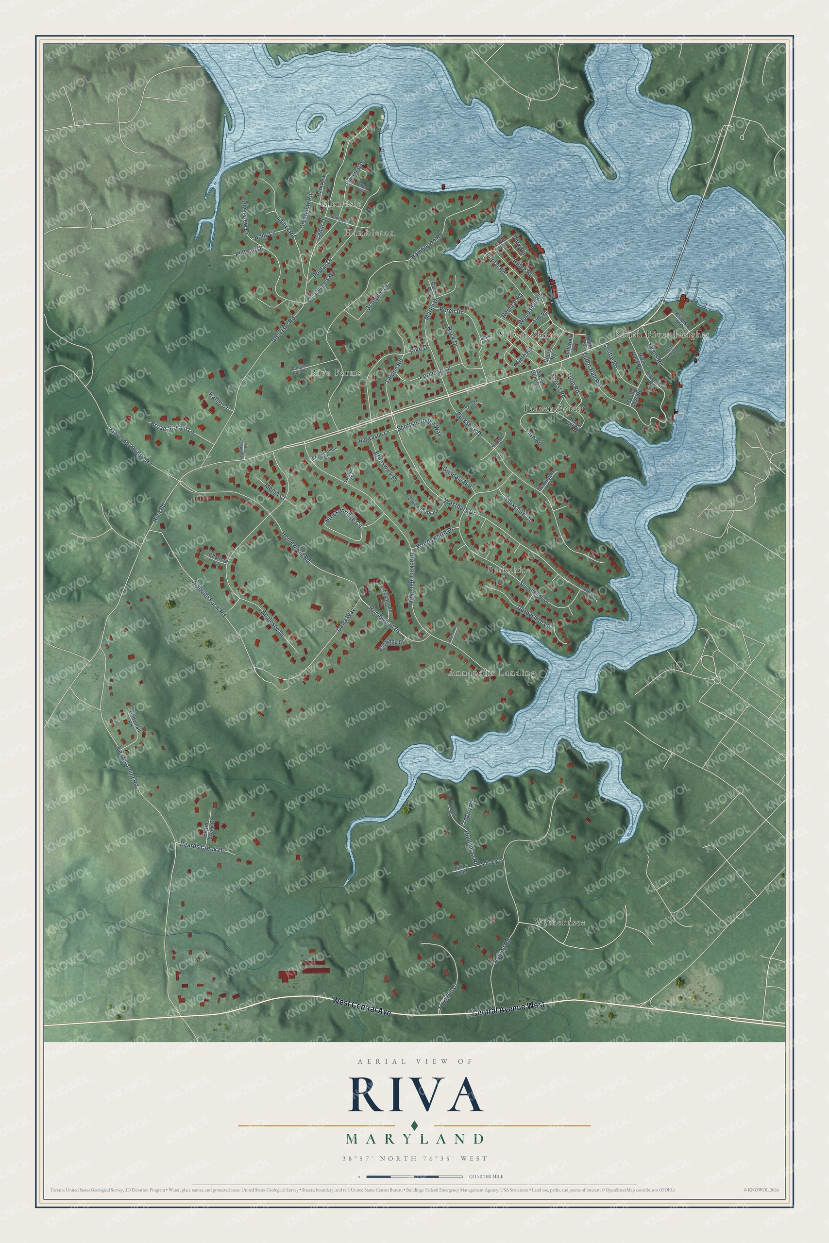
This beautifully detailed map of Riva, Maryland was created in 2026 using aerial imagery combined with modern topographical, census, street and landmark data. It's a modern aerial view of Riva in Anne Arundel County, Maryland, that combines modern data with a vintage aesthetic. The roads feature printed names, and if you look closely you can find your exact house accurately shown in its correct location.
Explore an aerial view of Riva, Maryland
On this map you'll find Berkshire, Withernsea, South River Heights, Glen Isle, Riva Farms, Tarzan Forest, Annapolis Landing, Sylvan Shores, Hambleton, Central Avenue West, West Central Avenue, Riva Road, and more. Each red shape is a building, so zoom in on the preview and look for yours.
Riva is a community in Anne Arundel County. The Census Bureau counted 4,257 people here in 2020. Riva sits about 2 miles west of Edgewater, 4 miles southwest of Parole and 5 miles west of Annapolis. The map prints the town name in its title panel, with the coordinates below it.
Take a closer look at the Riva map
Names on this map
These names are printed on this map.
Places: Berkshire, Withernsea, South River Heights, Glen Isle, Riva Farms, Tarzan Forest, Annapolis Landing, Sylvan Shores and Hambleton.
Streets and roads: Central Avenue West, West Central Avenue, Riva Road, Huntsman Road, Tulip Road, Westbury Drive, Homewood Drive, Beards Point Road, Homewood Road, Hambleton Road, Breckenridge Way, Rolling Road.
More street names, A to Z
Aisquith Farm Road, Anglesey Drive, Apple Road, Bass Place, Beards Creek Court, Beards Creek Drive, Berkshire Drive, Breckenridge Circle, Breckenridge Court, Brezina Place, Broad Stream Lane, Brunswick Place, Butternut Road, Cedar Drive, Centre Road, Chalford Court, Cherry Road, Christophers Way, Circle Road, Cottswold Place, Cove Road, Cragun Road, Crestview Road, Della Way, Derbyshire Lane, Douglas Point Court, Elm Road, Escapade Circle, Escapade Court, Evans Road, Fern Hill Court, Fern Road, Forest Road, Glen Isle Road, Governor Bridge Road, Granville Drive, Grey Havens Way, Grisdale Hill, Heitzman Road, Hilltop Lane, Holly Lane, Hoot Owl Road, Kathe Court, Keystone Court, Krapish Road, Larado Court, Laurel Road, Marlin Drive, Menia Court, Newcastle Lane, Newington Drive, Park Road, Parkview Drive, Perch Drive, Pike Drive, Pinecrest Drive, Plateau Drive, Poplar Drive, Poplar Road, Porpoise Lane, Remital Road, Ridge Road, Riverview Drive, Riverview Road, River View Road, Rock Drive, Scottsborough Way, Shad Place, Shirley Avenue, Shirley Lane, Shrewsbury Lane, Southview Drive, Spring Cove Road, Stonehenge Drive, Sussex Place, Sweet Gum Road, Tarpon Road, Tudor Hall Road, Wellington Court, White House Road, Woodside Road, Wordsworth Drive, Yorkshire Drive.
See it on a wall
The Riva map as a framed print. Swipe for more.


Created by KNOWOL in 2026. The buildings are small red shapes, the roads carry their printed names, and shaded relief shows the shape of the land. The title panel reads "AERIAL VIEW OF RIVA, MARYLAND" with 38°57' NORTH 76°35' WEST.
It suits a den, a classroom or a front hall, and it makes a gift for anyone with Riva roots. Open the preview and find the block you know. See sizes and frames for the Riva map.