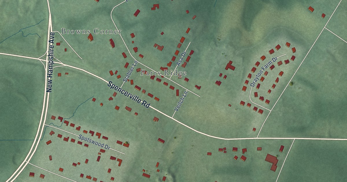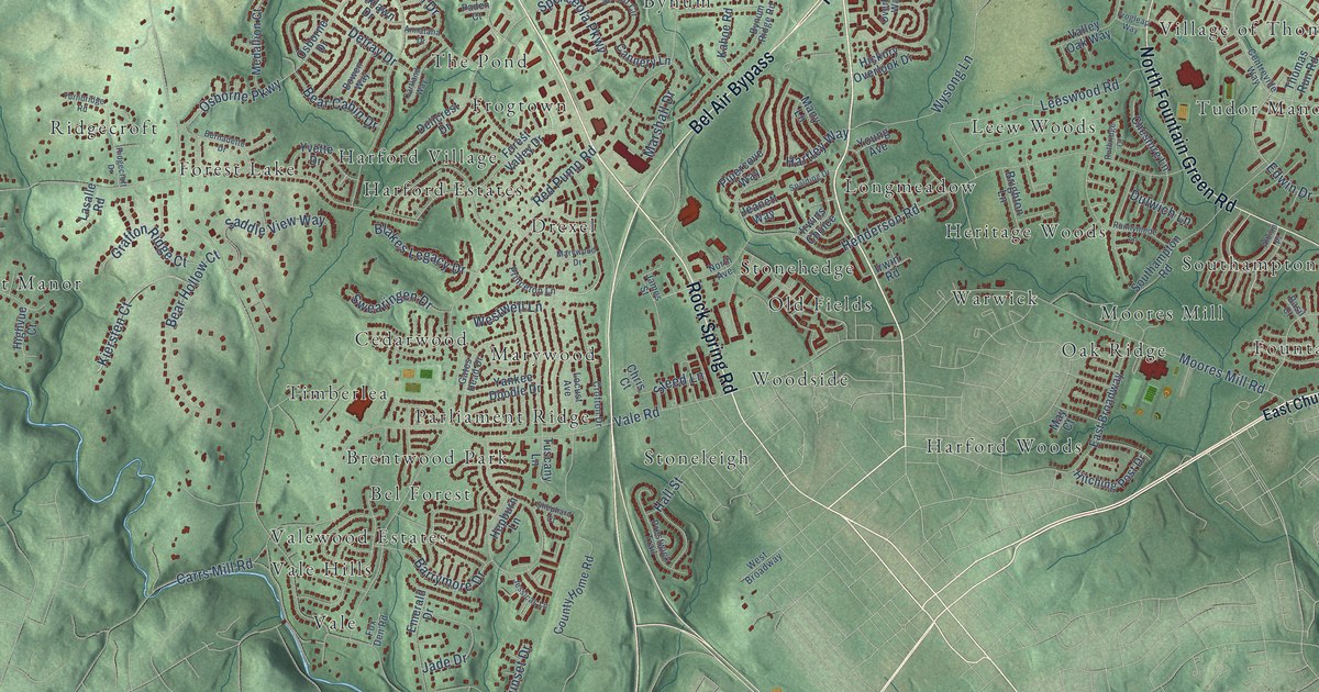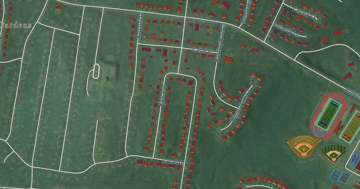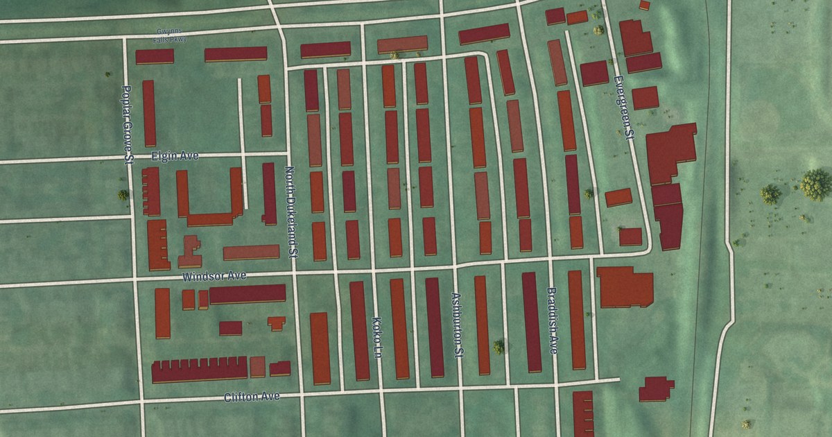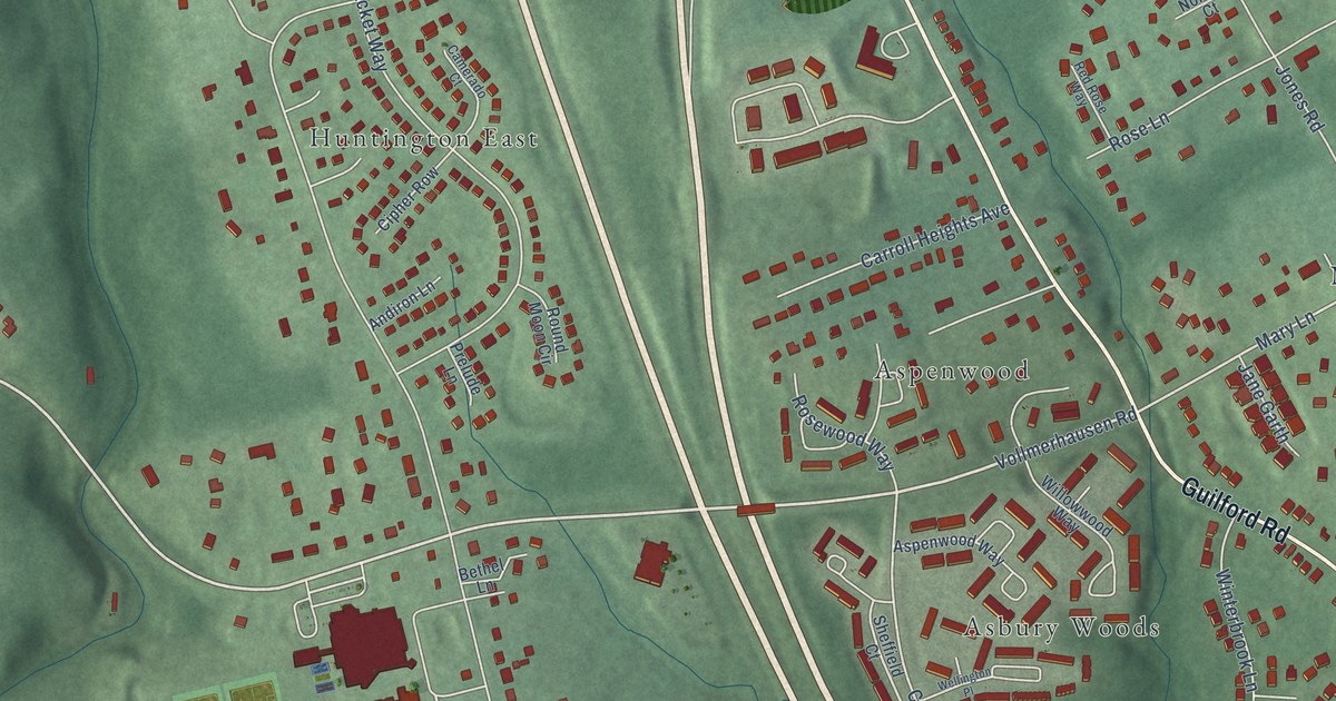
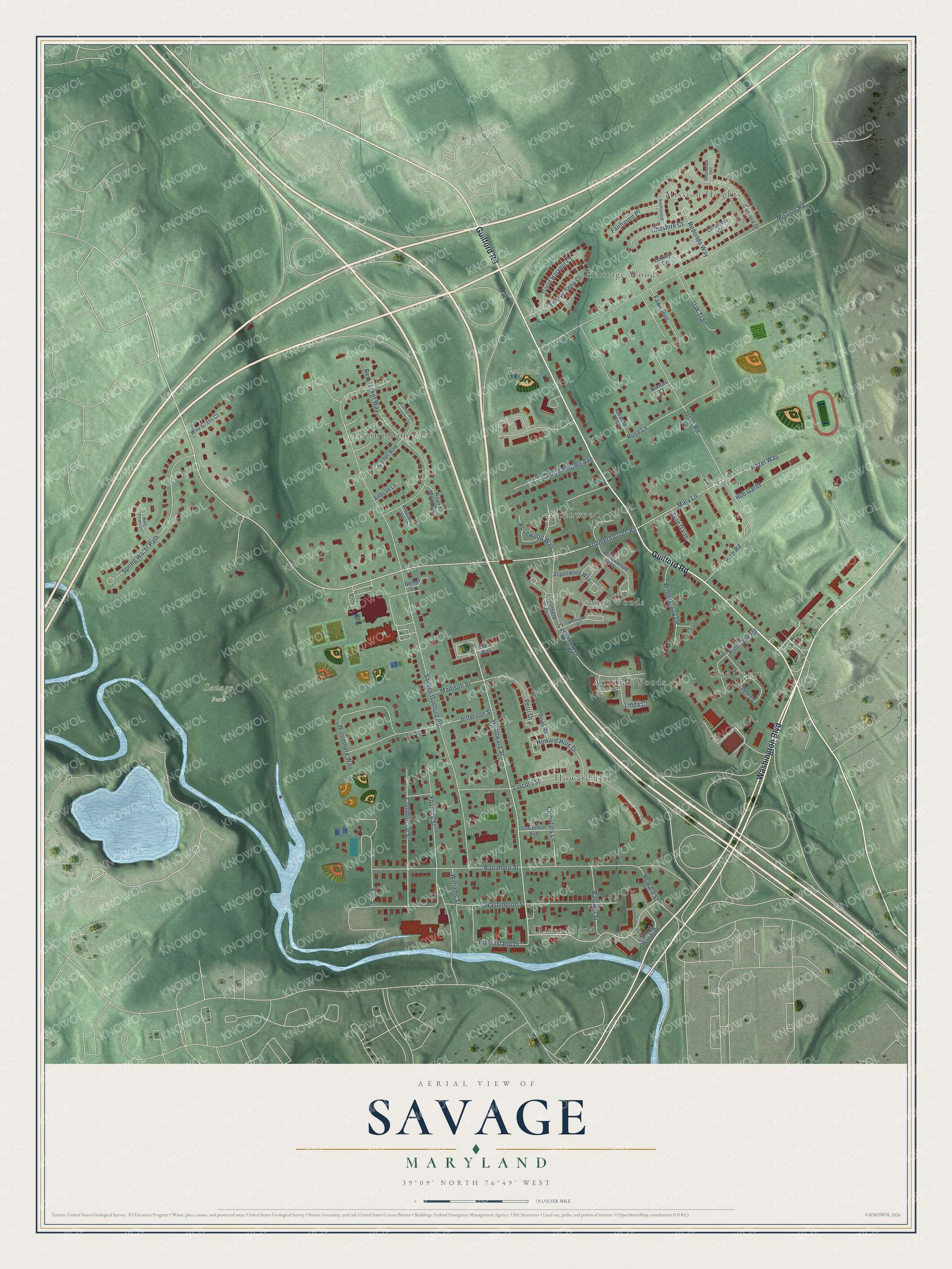
This beautifully detailed map of Savage, Maryland was created in 2026 using aerial imagery combined with modern topographical, census, street and landmark data. It's a modern aerial view of Savage in Howard County, Maryland, that combines modern data with a vintage aesthetic. The roads feature printed names, and if you look closely you can find your exact house accurately shown in its correct location.
Explore an aerial view of Savage, Maryland
On this map you'll find Guilford Park, Savage Park, Mission Heights, Autumn Woods, River Island, Huntington East, Heritage Woods, Howard Hills, Nordeau, Aspenwood, Glen Court, Asbury Woods, and more. Each red shape is a building, so zoom in on the preview and look for yours.
Savage is a community in Howard County. The Census Bureau counted 7,542 people here in 2020. Savage sits about 2 miles northeast of North Laurel, 2 miles west of Jessup and 3 miles north of Maryland City. The map prints the town name in its title panel, with the coordinates below it.
Take a closer look at the Savage map
Names on this map
These names are printed on this map.
Places: Guilford Park, Savage Park, Mission Heights, Autumn Woods, River Island, Huntington East, Heritage Woods, Howard Hills, Nordeau, Aspenwood, Glen Court and Asbury Woods.
Streets and roads: Washington Boulevard, Guilford Road, Vollmerhausen Road, Woodward Street, Mary Lane, Castleford Drive, Savage Guilford Road, Baltimore Street, Mission Road, Washington Street, Lincoln Street, Foundry Street.
More street names, A to Z
Andiron Lane, Aspenwood Way, Baldwin Street, Bethel Lane, Camerado Court, Carroll Heights Avenue, Carrollton Avenue, Cemetery Lane, Cheshire Court, Cipher Row, Clemente Court, Commercial Street, Concord Drive, Dorsey Cv, Ellen Way, Fairhaven Place, Fair Street, Fawn Run, Good Harvest Court, Hazel Way, Howard Hills Drive, Howard Street, Hub Garth, Jane Garth, Jefferson Street, Jones Road, Linda Court, Madison Street, Many Flower Lane, Nordau Court, Oak Trail, Perri Drive, Pine Road, Pine Tree Road, Pool Road, Prelude Lane, Red Jacket Way, Redondo Way, Red Rose Way, River Island Drive, Rose Lane, Rosewood Way, Round Moon Circle, Sheffield Court, Sherwood Gln, Smithfield Place, Spring Water Path, Storch Woods Drive, Twelve Sons Court, Wellington Place, Wild Grass Court, Williams Street, Willowwood Way, Windemere Way, Winterbrook Lane.
See it on a wall
The Savage map as a framed print. Swipe for more.


Created by KNOWOL in 2026. The buildings are small red shapes, the roads carry their printed names, and shaded relief shows the shape of the land. The title panel reads "AERIAL VIEW OF SAVAGE, MARYLAND" with 39°09' NORTH 76°49' WEST.
It looks right in a kitchen, an office or a den, and it's a gift for anyone who grew up in Savage or moved away. Open the preview and find your street. See sizes and frames for the Savage map.