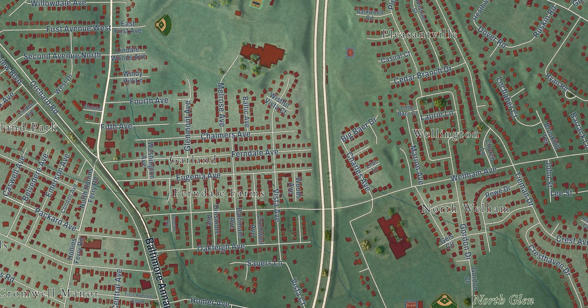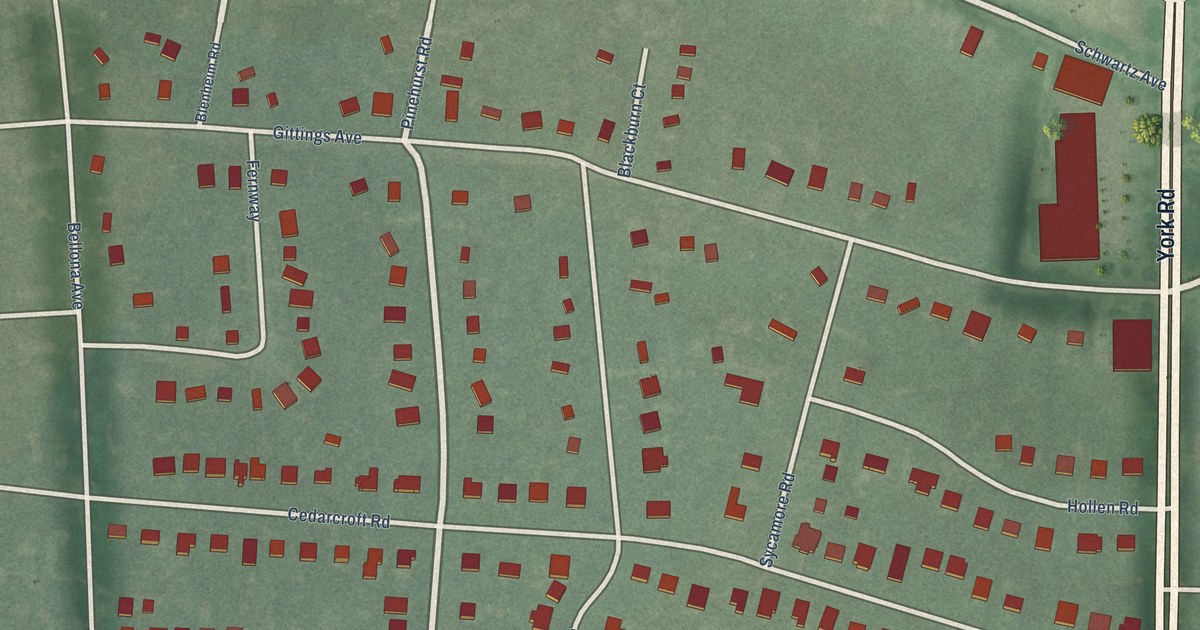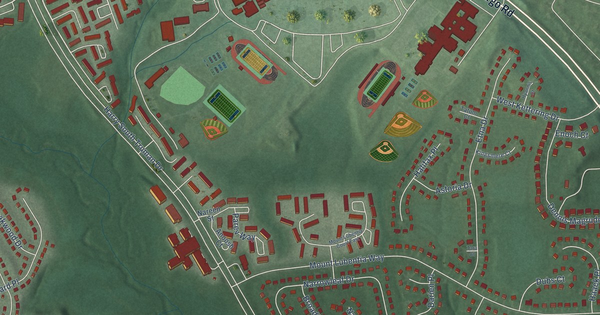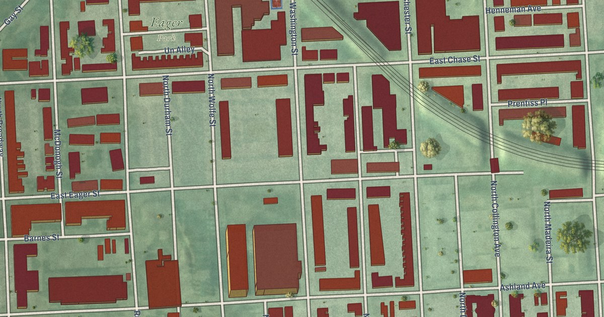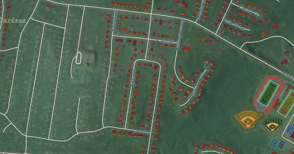
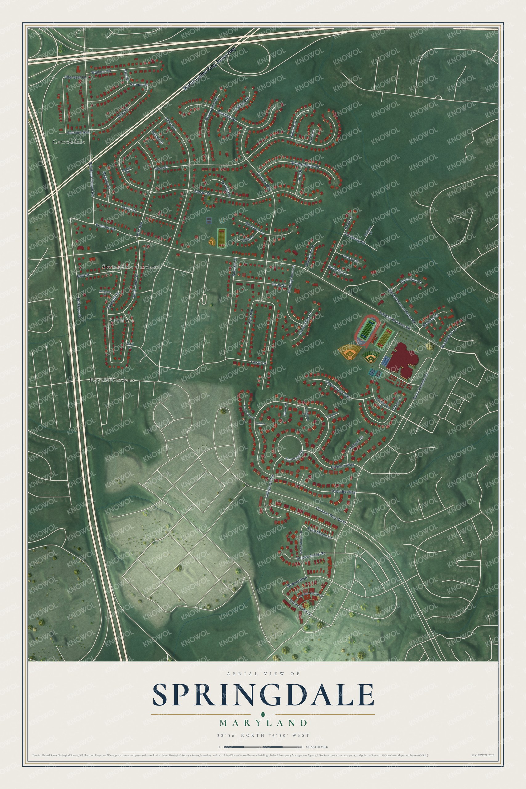
This beautifully detailed map of Springdale, Maryland was created in 2026 using aerial imagery combined with modern topographical, census, street and landmark data. It's a modern aerial view of Springdale in Prince George's County, Maryland, that combines modern data with a vintage aesthetic. The roads feature printed names, and if you look closely you can find your exact house accurately shown in its correct location.
Explore an aerial view of Springdale, Maryland
On this map you'll find Springdale Gardens, Royale Gardens, Carsondale, Ardmore, Martin Luther King Junior Highway, Glenkirk Way, Ardwick Ardmore Road, Saint Josephs Drive, Hobart Street, La Dova Way, Oxbridge Way, Utica Place, and more. Each red shape is a building, so zoom in on the preview and look for yours.
Springdale is a community in Prince George's County. The Census Bureau counted 5,301 people here in 2020. Springdale sits about 2 miles south of Lanham, 2 miles west of Mitchellville and 2 miles northwest of Lake Arbor. The map prints the town name in its title panel, with the coordinates below it.
Take a closer look at the Springdale map
Names on this map
These names are printed on this map.
Places: Springdale Gardens, Royale Gardens, Carsondale and Ardmore.
Streets and roads: Martin Luther King Junior Highway, Glenkirk Way, Ardwick Ardmore Road, Saint Josephs Drive, Hobart Street, La Dova Way, Oxbridge Way, Utica Place, Whitfield Chapel Road, Edwards Street, Jefferson Street, 92nd Avenue.
More street names, A to Z
91st Avenue, 91st Place, Ardmore Road, Asquith Court, Barcroft Drive, Biemans Terrace, Bluefield Road, Bold Street, Brooke Grove Road, Butterfly Lane, Byard Court, Byward Boulevard, Campus Way North, Canary Court, Cara Drive, Carol Street, Cedar Crest Way, Citrus Lane, Doubletree Lane, Ebenezer Lane, Edson Court, Endicott Place, Faircrest Circle, Fairview Avenue, Garden Grove Lane, Gary Lane, Greyfield Court, Grove Hurst Lane, Heidi Lane, Hobart Court, Hollwell Court, Hunting Horn Lane, Keehar Court, Kyle Avenue, Kynaston Court, Ladygrove Road, Lavall Drive, Lockbury Court, Mahnaz Court, Manderes Place, Meadowhill Road, Needleleaf Lane, Neilson Street, Old Ardmore Ardwick Road, Old Spring Road, Quiet Glen Court, Rose Mount Lane, Saint Johns Place, Scheurer Street, Scruggs Place, Shekhar Court, Southbridge Court, Stone Manor Drive, Stoney Ridge Road, Taylor Street, Tolly Place, Varnum Street, Volta Street, Wallace Road, Winter Park Court.
Created by KNOWOL in 2026. The buildings are small red shapes, the roads carry their printed names, and shaded relief shows the shape of the land. The title panel reads "AERIAL VIEW OF SPRINGDALE, MARYLAND" with 38°56' NORTH 76°50' WEST.
It suits a den, a classroom or a front hall, and it makes a gift for anyone with Springdale roots. Open the preview and find the block you know. See sizes and frames for the Springdale map.