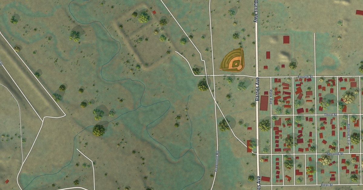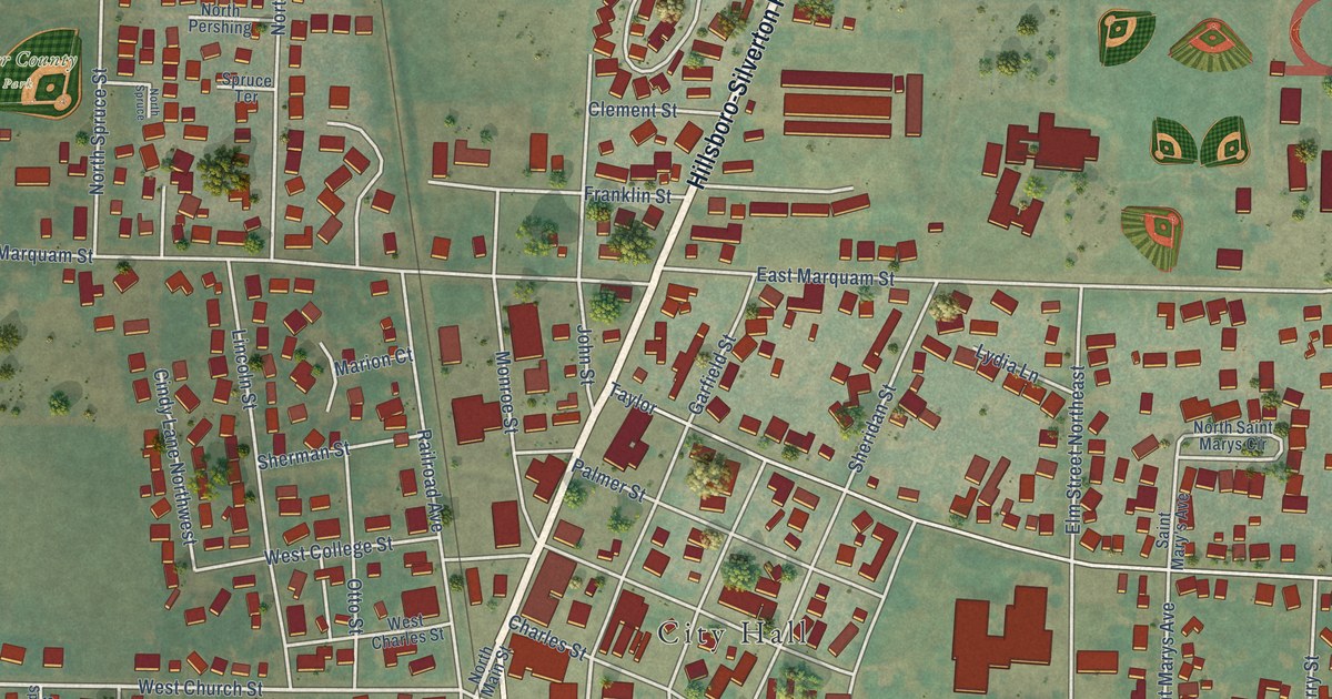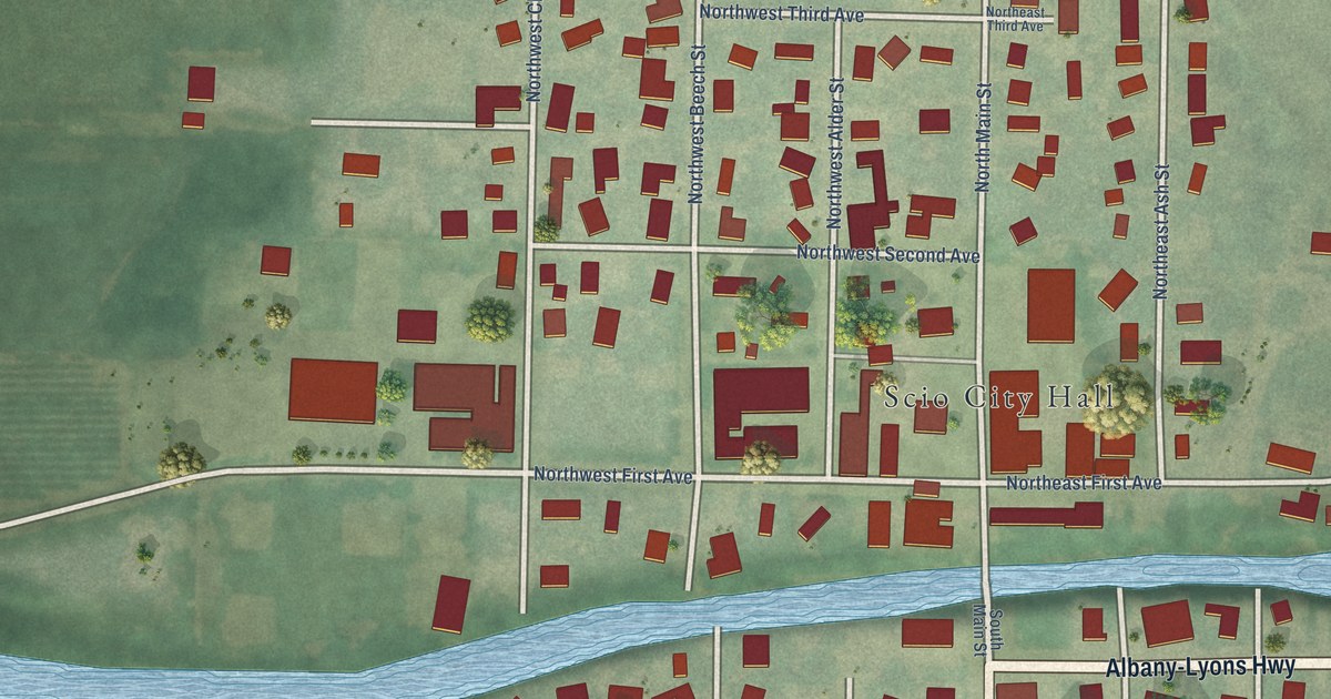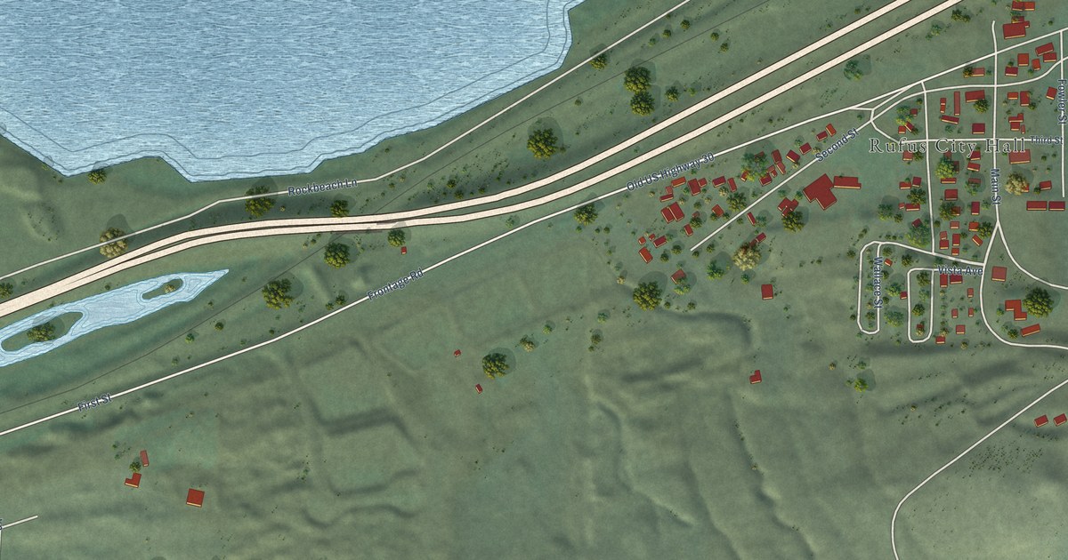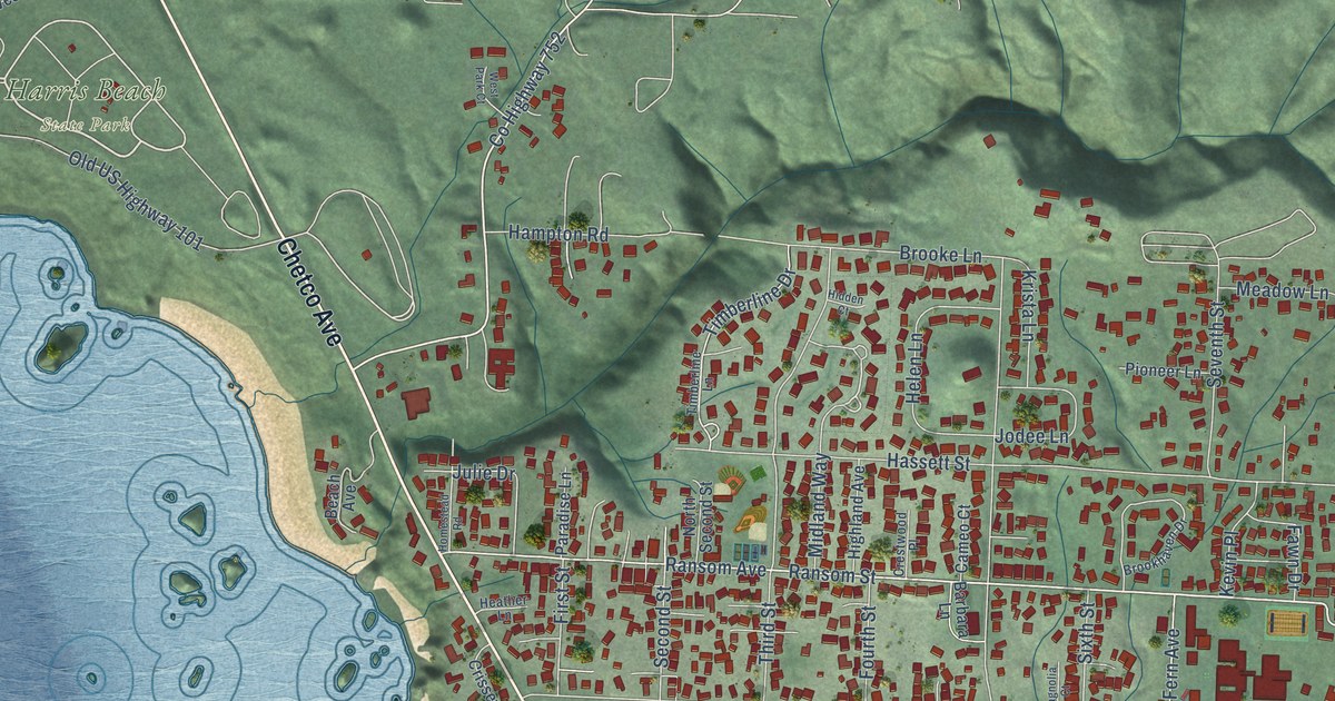
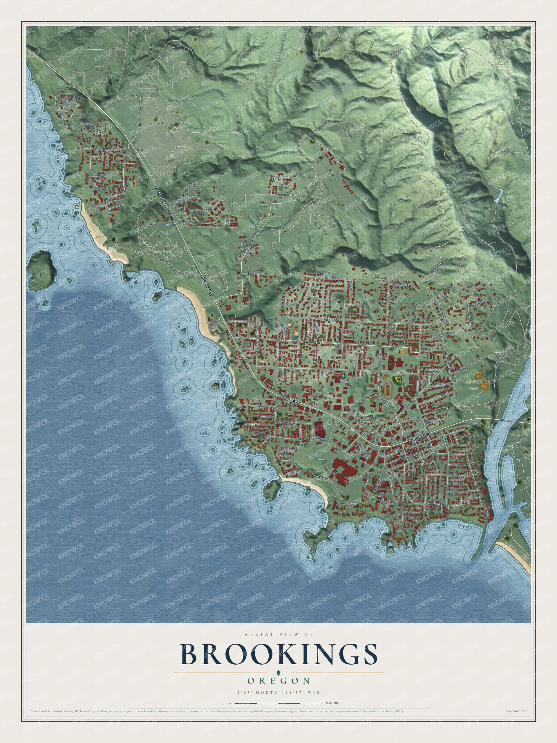
This beautifully detailed map of Brookings, Oregon was created in 2026 using aerial imagery combined with modern topographical, census, street and landmark data. It's a modern aerial view of Brookings in Curry County, Oregon, that combines modern data with a vintage aesthetic. The roads feature printed names, and if you look closely you can find your exact house accurately shown in its correct location.
Explore an aerial view of Brookings, Oregon
On this map you'll find Brookings City Hall, Azalea Park, Harris Beach State Park, Oregon Coast Highway, Chetco Avenue, Dawson Road, Holmes Drive, Pacific Heights, West Blueberry Drive, Old County Road, Co Highway 752, Oxford Street, and more. Each red shape is a building, so zoom in on the preview and look for yours.
Brookings has a story worth telling. The Oregon Encyclopedia puts it this way: "Following World War II, when truck roads were built into the previously unreachable timber in the rugged mountains east of Brookings, large mills were again built near the town. But it was the building of Highway 101, and the resulting tourist economy, that proved the town’s salvation."
Brookings is a city in Curry County.
Take a closer look at the Brookings map
Names on this map
These names are printed on this map.
Places: Brookings City Hall, Azalea Park and Harris Beach State Park.
Streets and roads: Oregon Coast Highway, Chetco Avenue, Dawson Road, Holmes Drive, Pacific Heights, West Blueberry Drive, Old County Road, County Highway 752, Oxford Street, Fleet Street, Del Norte Lane, Passley Road.
More street names, A to Z
Alder Street, Allen Lane, Alta Lane, Arch Lane, Arnold Lane, Art Street, Azalea Park Road, Barbara Lane, Beach Avenue, Birch Street, Brooke Lane, Brookhaven Drive, Buena Vis Lp, Byrtus Place, Cameo Court, Cameron Court, Cedar Street, Center Street, Chetco Lane, Chetco Point Terrace, Cottage Street, County Highway 736, County Highway 776, Cove Road, Crestwood Place, Crissey Circle, Cushing Court, Cypress Street, Deer Park Drive, East Harris Heights Road, Easy Manor Drive, Easy Street, Eden Lane, Edge Cliff Drive, Elk Drive, Fawn Drive, Fern Avenue, Fern Drive, Fern Street, Fifield Street, Fifth Street, Fir Street, First Street, Floral Drive, Fourth Street, Garvin Court, Glenwood Drive, Hampton Road, Hassett Street, Heather Lane, Helen Lane, Hemlock Street, Hidden Court, Highland Avenue, Hillside Avenue, Hilltop Drive, Homestead Road, Hub Street, Iris Street, Izaiha Drive, Jodee Lane, Joshua Court, Julie Drive, Kevin Place, Kindel Street, King Street, Knoll Lane, Krista Lane, Lilac Lane, Link Lane, Lundeen Road, Macklyn Cove Drive, Magnolia Court, Maple Street, Mardon Court, Marina Heights Lp, Marina Heights Road, Marine Drive, Matot Street, Meadow Lane, Memory Lane, Mendy Street, Midland Way, Mill Beach Road, Mill Street, Moore Street, Mulberry Lane, Musser Street, Myrtle Street, North Bank Chetco River Road, North Hazel Street, North Second Street, Oak Street, Ocean Drive, Ocean Park Court, Ocean Park Drive, Oceanview East, Old US Highway 101, Otter Terrace, Pacific Avenue, Pacific Terrace Lp, Page Avenue, Paradise Lane, Park Avenue, Park Lane, Park Spr, Parkview Drive, Pine Street, Pioneer Lane, Pioneer Road, Railroad Street, Ransom Avenue, Ransom Street, Redwood Street, Richard Street, Ridge Way, Riviera Court, Rowland Lane, Rustic Road, Sandy Lane, Schooner Bay Drive, Sea Cliff Terrace, Seacrest Lane, Seascape Court, Second Street, Seventh Street, Shorewood Terrace, Sixth Street, Smith Drive, South Hazel Street, Spruce Drive, Spruce Street, Tanbark Road, Third Street, Timberline Drive, Timberline Lane, Valley Street, Velopa Court, Vista Court, Vista Ridge Drive, Weaver Lane, West Harris Heights Road, West Ocean Drive, West Park Court, Wharf Street, Willow Street, Zia Court.
Created by KNOWOL in 2026. The buildings are small red shapes, the roads carry their printed names, and shaded relief shows the shape of the land. The title panel reads "AERIAL VIEW OF BROOKINGS OREGON" with 42°03' NORTH 124°17' WEST.
It looks right in a kitchen, an office or a den, and it's a gift for anyone who grew up in Brookings or moved away. Open the preview and find your street. See sizes and frames for the Brookings map.