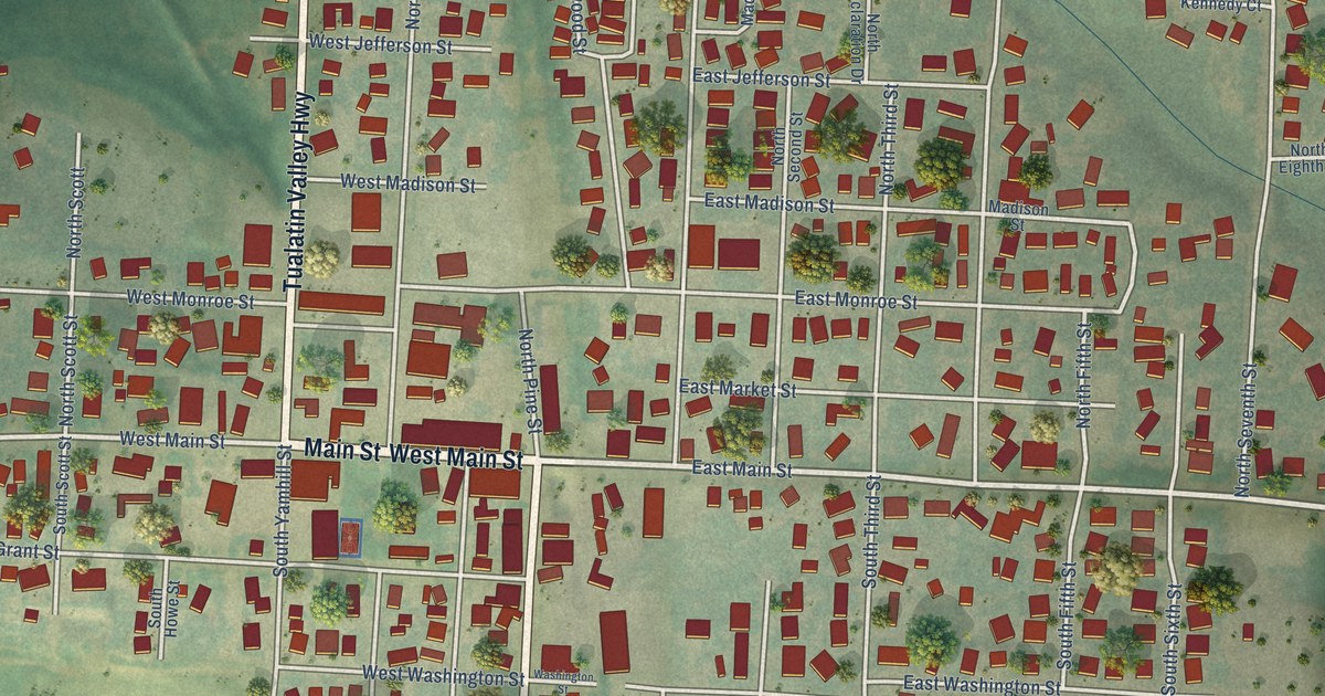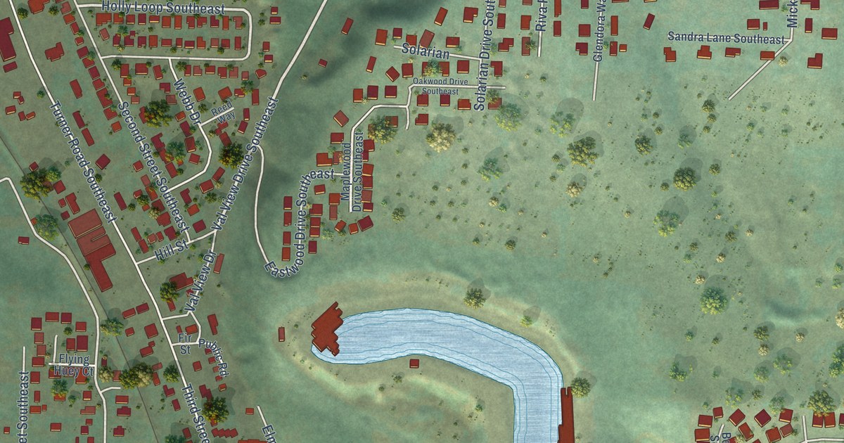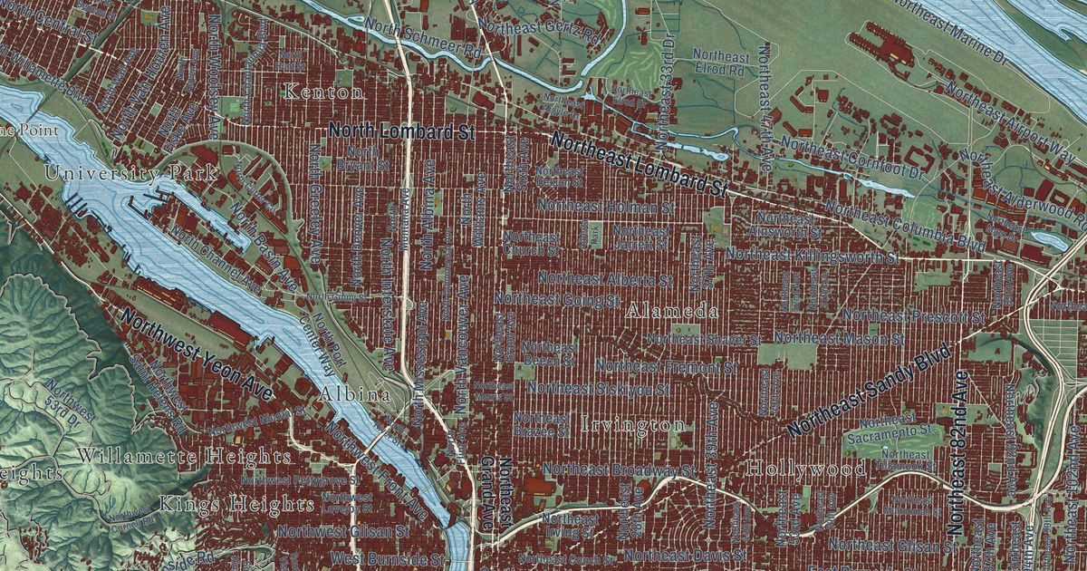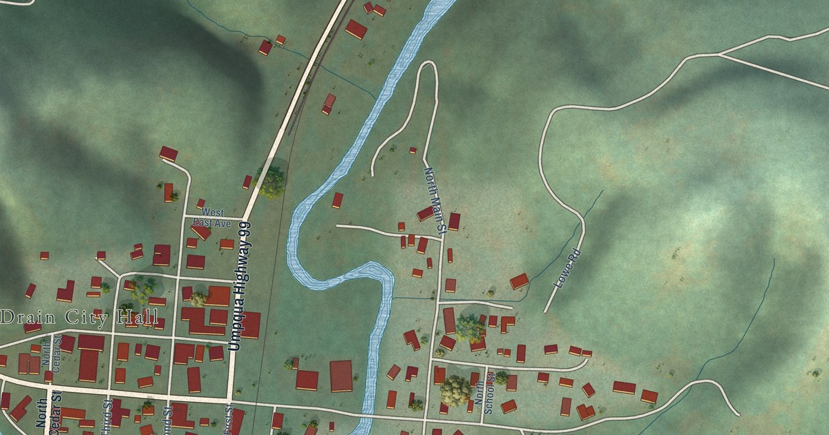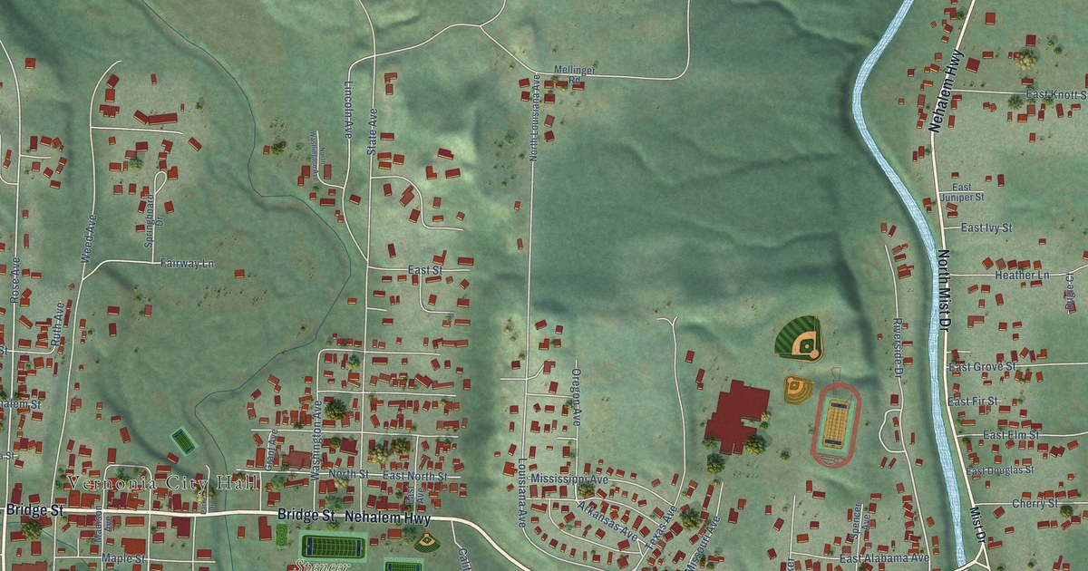
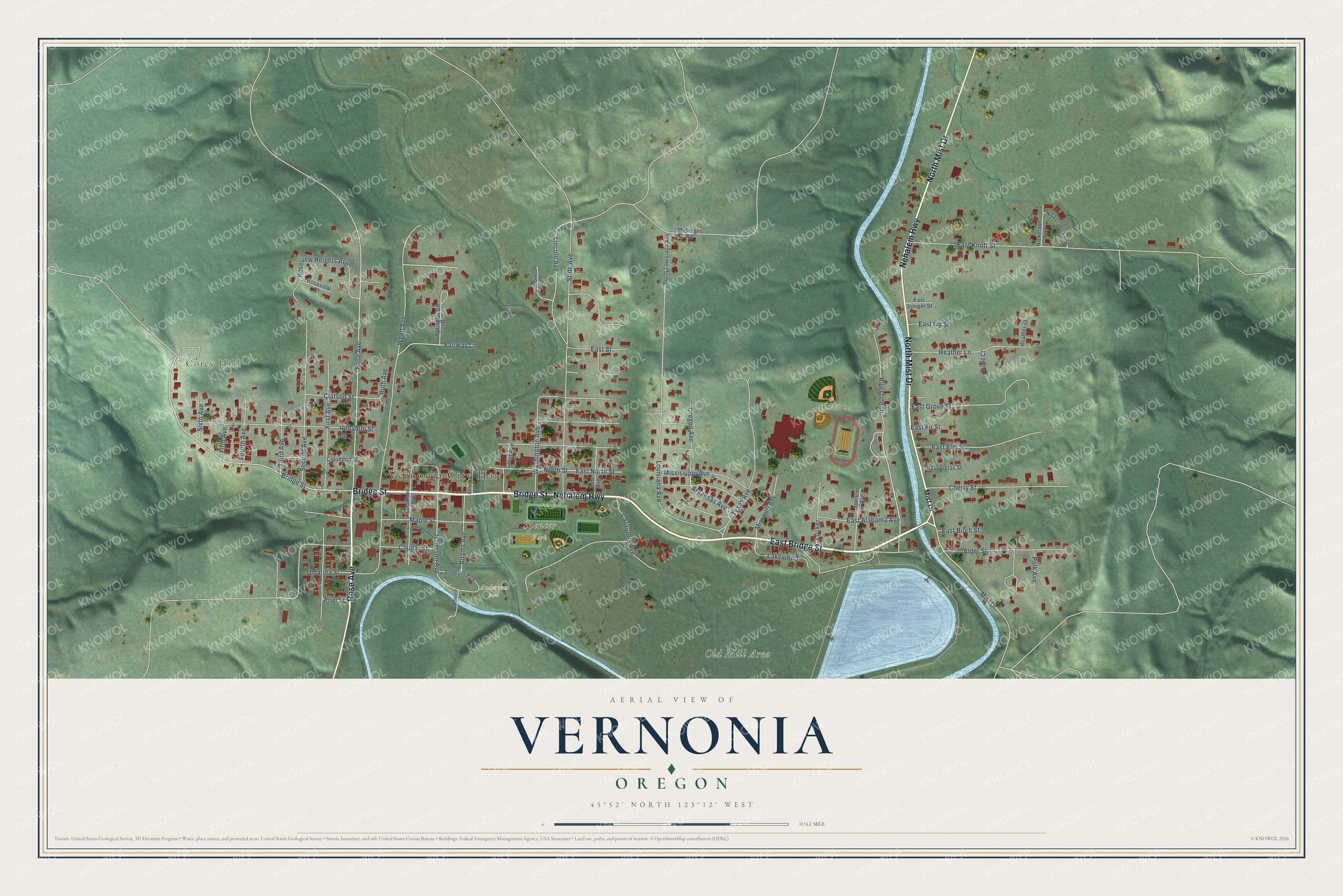
This beautifully detailed map of Vernonia, Oregon was created in 2026 using aerial imagery combined with modern topographical, census, street and landmark data. It's a modern aerial view of Vernonia in Columbia County, Oregon, that combines modern data with a vintage aesthetic. The roads feature printed names, and if you look closely you can find your exact house accurately shown in its correct location.
Explore an aerial view of Vernonia, Oregon
On this map you'll find Vernonia City Hall, Corey Hill, Old Mill Area, Spencer Park, Anderson Park, East Bridge Street, Bridge Street, Rose Avenue, Nehalem Highway, North Mist Drive, Riverside Drive, Mist Drive, and more. Each red shape is a building, so zoom in on the preview and look for yours.
Vernonia has a story worth telling. The Oregon Encyclopedia puts it this way: "The Oregon-American (O-A) Lumber Company opened in Vernonia in 1924, when the town had about 150 residents. The company brought in 200 workers, and by 1929, 495 people worked for the company."
Vernonia is a city in Columbia County.
Take a closer look at the Vernonia map
Names on this map
These names are printed on this map.
Places: Vernonia City Hall, Corey Hill, Old Mill Area, Spencer Park and Anderson Park.
Streets and roads: East Bridge Street, Bridge Street, Rose Avenue, Nehalem Highway, North Mist Drive, Riverside Drive, Mist Drive, Jefferson Avenue, Arkansas Avenue, East North Street, Second Avenue, Weed Avenue.
More street names, A to Z
Adams Avenue, Alder Street, California Avenue, Cherry Street, Clatsop Street, Columbia Street, Cougar Street, Dugie Court, East Alabama Avenue, East Avenue, East Birch Street, East Douglas Street, East Elm Street, East Fir Street, East Grove Street, East Ivy Street, East Juniper Street, East Knott Street, East Street, Fairway Lane, Fifth Avenue, First Avenue, Fourth Avenue, Grant Avenue, Heather Court, Heather Lane, Lakeview Drive, Lincoln Avenue, Locker, Louisiana Avenue, Madison Avenue, Maple Street, Mellinger Road, Mississippi Avenue, Missouri Avenue, Nehalem Street, Nickerson Avenue, Nickerson Loop, North Louisiana Avenue, North Street, North Washington Avenue, Oregon Avenue, Park Drive, Polk Avenue, River Street, Roseview Court, Roseview Heights Avenue, Ruth Avenue, Sixth Avenue, Spencer Avenue, Springboard Drive, State Avenue, Sword Place, Texas Avenue, Third Avenue, Umatilla Street, Washington Avenue.
Created by KNOWOL in 2026. The buildings are small red shapes, the roads carry their printed names, and shaded relief shows the shape of the land. The title panel reads "AERIAL VIEW OF VERNONIA OREGON" with 45°52' NORTH 123°12' WEST.
It looks right in a kitchen, an office or a den, and it's a gift for anyone who grew up in Vernonia or moved away. Open the preview and find your street. See sizes and frames for the Vernonia map.