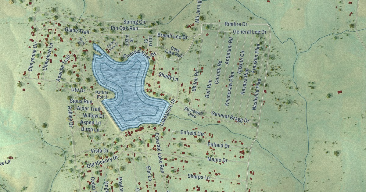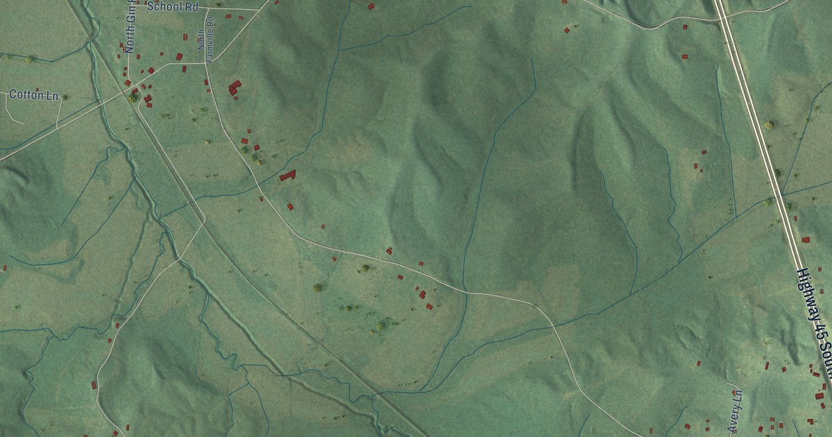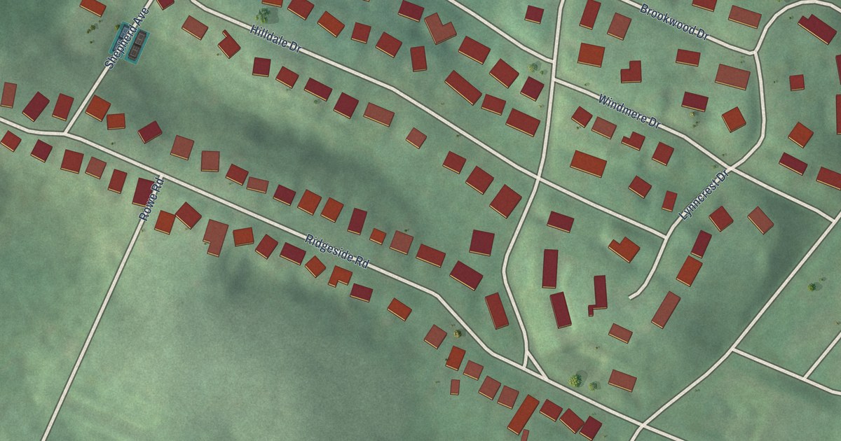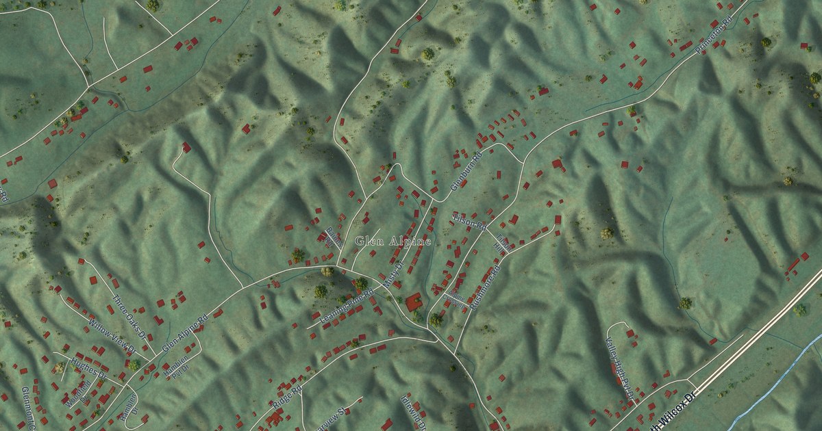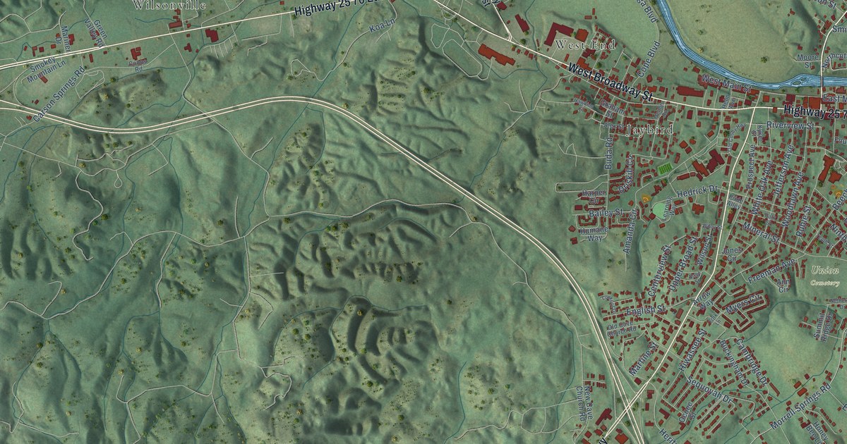
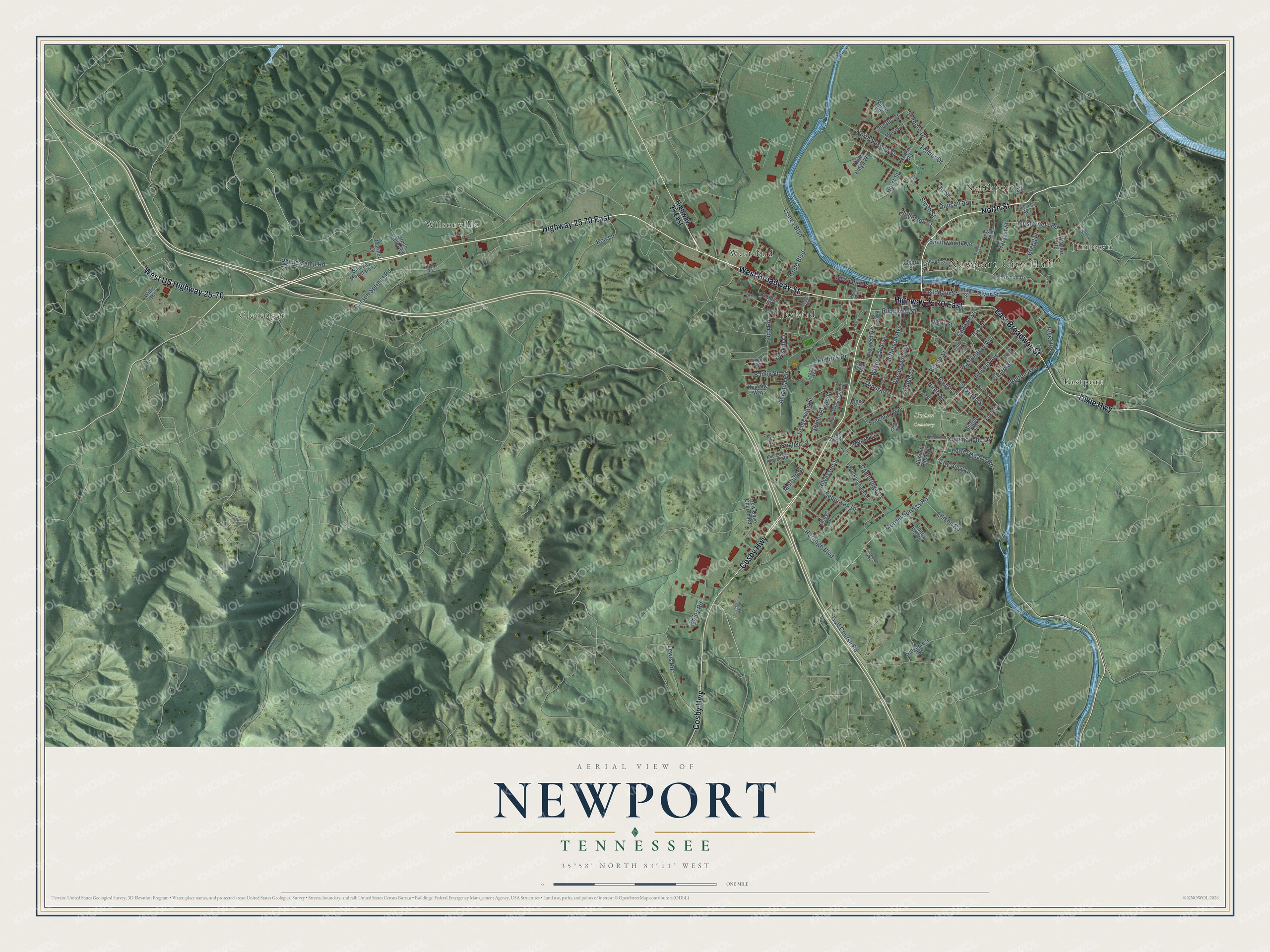
This beautifully detailed map of Newport, Tennessee was created in 2026 using aerial imagery combined with modern topographical, census, street and landmark data. It's a modern aerial view of Newport in Cocke County, Tennessee, that combines modern data with a vintage aesthetic. The roads feature printed names, and if you look closely you can find your exact house accurately shown in its correct location.
Explore an aerial view of Newport, Tennessee
On this map you'll find Newport City Hall, Clevenger, Union Cemetery, Eastport, Jaybird, Jimtown, Northport, West End, Wilsonville, Cosby Highway, North Street, Highway 25 70 East, and more. Each red shape is a building, so zoom in on the preview and look for yours.
Every town has a first chapter, and Newport is no exception. The record at tennesseeencyclopedia.net puts it this way: "Interestingly, the new courthouse in Newport was not located at the center of the downtown commercial district; that place was reserved for the railroad depot, an unmistakable sign of the power of the new capitalists compared to that of the local government."
Newport is a city in Cocke County. The Census Bureau counted 6,868 people here in 2020.
Take a closer look at the Newport map
Names on this map
These names are printed on this map.
Places: Newport City Hall, Clevenger, Union Cemetery, Eastport, Jaybird, Jimtown, Northport, West End, Wilsonville and City Park.
Streets and roads: Cosby Highway, North Street, Highway 25 70 East, West Broadway Street, East Broadway Street, Dixie Highway, West US Highway 25-70, Morrell Springs Road, Epley Road, Lincoln Avenue, East Main Street, Heritage Boulevard.
More street names, A to Z
Alex Street, Amanda Circle, Angela Circle, Ann Circle, Arrow Way, Bailey Street, Beech Street, Belton Avenue, Blue Ridge Way, Briarwood Way, Buckingham Drive, Buda Road, Cambridge Drive, Carson Springs Road, Centerview Street, City View Drive, Cliffwood Drive, College Street, Commanche Drive, Coops Road, Cope Boulevard, Cosby Cut Off Road, Driskill Circle, Duncan Street, Earl Way, Easy Street, Eighth Street, Ellison Road, English Street, Fair Street, Fifth Street, Filbert Street, Fork Lane, Fourth Street, Fox Avenue, Freeman Avenue, Golf Course Road, Graham Street, Green Valley Road, Gregg Lane, Harper Circle, Harvest Street, Hawkins Street, Hedrick Drive, Helm Avenue, Highway 25 East, Hiwassee Street, Honey Bee Lane, Humane Way, Hurst Street, Iris Place, Jefferson Avenue, Jimtown Road, Jones Circle, Justus Street, Koa Lane, Kyker Street, Learning Way, Lewis Road, Lisega Boulevard, Lookout Drive, Lower Quarry Road, Main Street, Mariner Drive, Martine Street, Melton Road, Mineral Street, Moore Street, Morris Street, Musterfield Road, Myers Circle, Netherton Drive, New Cave Church Road, Ninth Street, Northcutt Street, North Susong Street, Oak Avenue, Ocoee Street, Old Cave Church Road, Old Cosby Highway, Park Street, Pikeview Avenue, Pride Alley, Prospect Avenue, Rankin Road, Rhyne Camp Road, Ridgecrest Drive, River Road, River Street, Riverview Street, Robinson Street, Ruble Street, Second Street, Seehorn Drive, Sequoyah Drive, Seventh Street, Sixth Street, Smith Street, Smithwood Avenue, Smokey Mountain Lane, Summit Ridge Drive, Tedder Drive, Tenth Street, Upper Broad Street, Walnut Street, Warford Road, Washington Avenue, Waters Road, West Main Street, White Oak Avenue, Wiley Street, Willis Road, Wilson Street, Woodlawn Avenue.
Created by KNOWOL in 2026. The buildings are small red shapes, the roads carry their printed names, and shaded relief shows the shape of the land. The title panel reads "AERIAL VIEW OF NEWPORT TENNESSEE" with 35°58' NORTH 83°11' WEST.
Hang it in the hallway, the office or the cabin, or give it to someone who left Newport and still calls it home. Open the preview and look for a street you know. See sizes and frames for the Newport map.