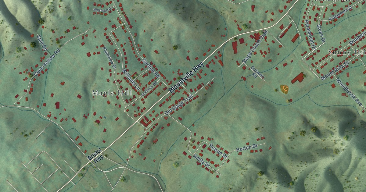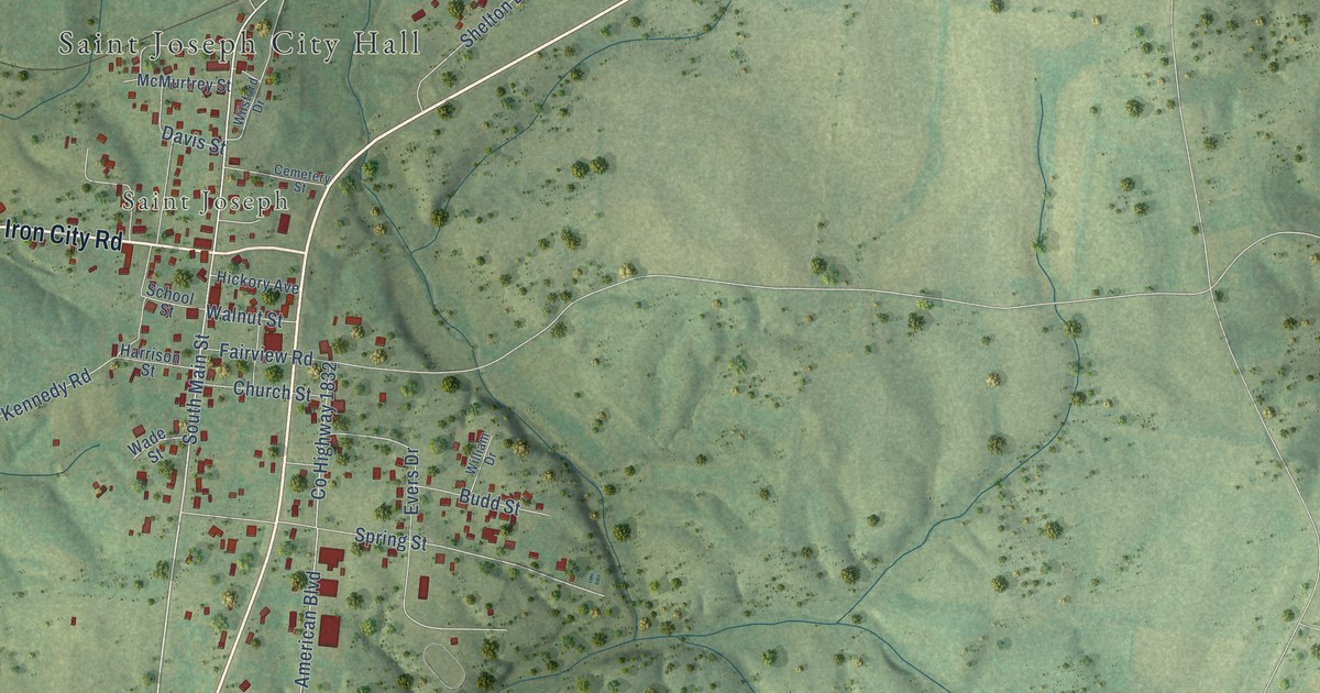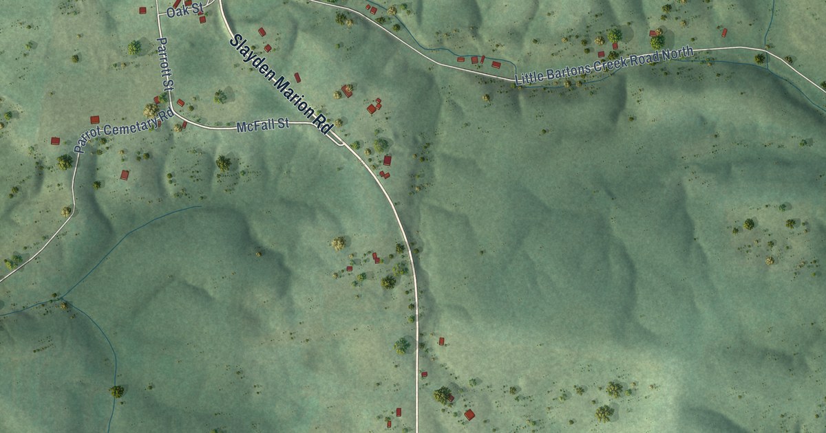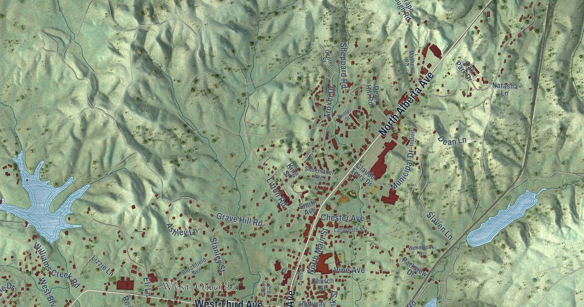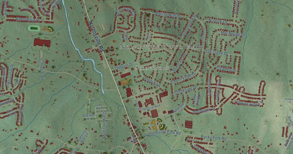
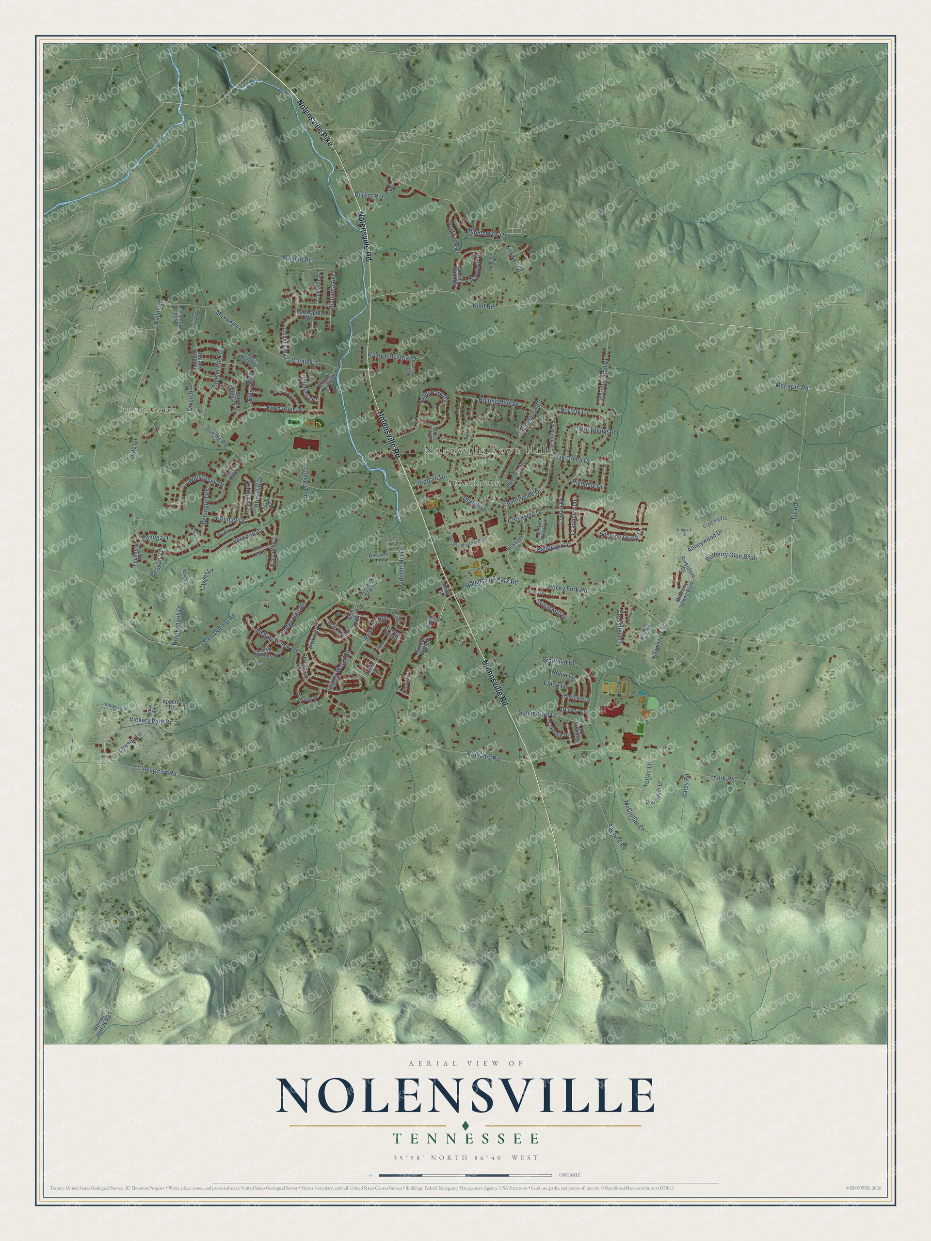
This beautifully detailed map of Nolensville, Tennessee was created in 2026 using aerial imagery combined with modern topographical, census, street and landmark data. It's a modern aerial view of Nolensville in Williamson County, Tennessee, that combines modern data with a vintage aesthetic. The roads feature printed names, and if you look closely you can find your exact house accurately shown in its correct location.
Explore an aerial view of Nolensville, Tennessee
On this map you'll find Nolensville Town Hall, Sunset Acres, Stonebrook, Nolensville Pike, Nolensville Road, Redmon Hill, Clovercroft Road, Nolensville Park Road, Erlinger Drive, Cranberry Lane, Sam Donald Road, Sunset Road, and more. Each red shape is a building, so zoom in on the preview and look for yours.
Nolensville has a story worth telling. The National Register of Historic Places puts it this way: "The Nolensville School is, to date,
the only well-documented example in Tennessee of a white school that used a Rosenwald plan."
Nolensville is a town in Williamson County. The Census Bureau counted 13,829 people here in 2020.
Take a closer look at the Nolensville map
Names on this map
These names are printed on this map.
Places: Nolensville Town Hall, Sunset Acres and Stonebrook.
Streets and roads: Nolensville Pike, Nolensville Road, Redmon Hill, Clovercroft Road, Nolensville Park Road, Erlinger Drive, Cranberry Lane, Sam Donald Road, Sunset Road, Rocky Fork Road, York Road, Benington Place.
More street names, A to Z
Abbeywood Drive, Alameda Avenue, Apperly Drive, Ashburn Court, Aunt Nannies Place, Austin Court, Ballenger Drive, Baronswood Drive, Barony Court, Batey Road, Belgian Road, Belsford Drive, Bent Creek Trce, Bluegrass Road, Bradfield Drive, Briarcliff Drive, Britain Lane, Brittain Downs Drive, Brooksbank Drive, Burberry Glen Boulevard, Burberry Glenn Boulevard, Burkitt Place Drive, Burris Drive, Carouth Court, Catalina Way, Cedar Brook Lane, Christmas Drive, Clemente Avenue, Clifton Johnson Court, Conoga Drive, Countryside Drive, Countryside Road, Cowan Drive, Craigleigh Drive, Creekside Drive, Crossfield Drive, Delaware Drive, Dobson Branch, Dortch Lane, Dunmeyer Court, Dylan Woods Drive, Eaves Court, Eckerton Drive, Eden Rose Place, Eldon Lane, Eucalyptus Way, Eulas Way, Evening Star Lane, Falling Water Road, Fallsworth Drive, Fishing Creek Road, Fly Road, Fort Lee Court, Gleaves Lane, Hadley Reserve Court, Haley Industrial Drive, Halsey Drive, Harpers Mill Drive, Hartgate Drive, Hebron Trace Drive, Hyde Lane, Jobe Trail, Johnson Industrial Boulevard, Jonahs Ridge Drive, Kidd Road, King Street, Kirkpark Court, Kirkwall Drive, Lawler Lane, Lawson Lane, Lively Way, Locust Hollow, Lodge Hall Road, Looking Glass Lane, Madison Mill Drive, Marco Drive, Maupin Road, Maxwell Lane, McClellan Lane, McFarlin Road, Mer Rouge Drive, Middlewick Lane, Nevins Place, Newnham Bridge Drive, Newsom Lane, Nolenmeade Court, Nolen Park Circle, Norfolk Lane, Oak Creek Drive, Oldenburg Road, Oldham Drive, Owen Road, Parkfield Drive, Picadilly Drive, Plumeria Place, Pulley Place, Pumpkin Ridge Court, Queen Annes Court, Redstone Lane, Riverdene Drive, Robin Lane, Rogers Lane, Rolling Hills Drive, Sanford Road, Sawmill Place, Sheldon Park Drive, Siegert Place, Sister Court, Stonebrook Drive, Sugar Mill Drive, Summerlyn Drive, Sunset Park Drive, Sunset Trail, Telfair Lane, Tyron Court, Underwood Drive, Vickery Park Drive, Waller Road, Warren Drive, Warren Hollow Road, Whitney Park Drive, Whittmore Drive, Williams Road, Wolf Creek Drive, Yukon Place.
Created by KNOWOL in 2026. The buildings are small red shapes, the roads carry their printed names, and shaded relief shows the shape of the land. The title panel reads "AERIAL VIEW OF NOLENSVILLE TENNESSEE" with 35°58' NORTH 86°40' WEST.
It looks right in a kitchen, an office or a den, and it's a gift for anyone who grew up in Nolensville or moved away. Open the preview and find your street. See sizes and frames for the Nolensville map.