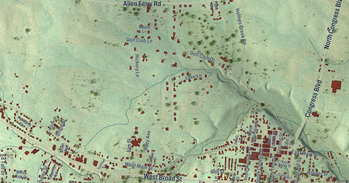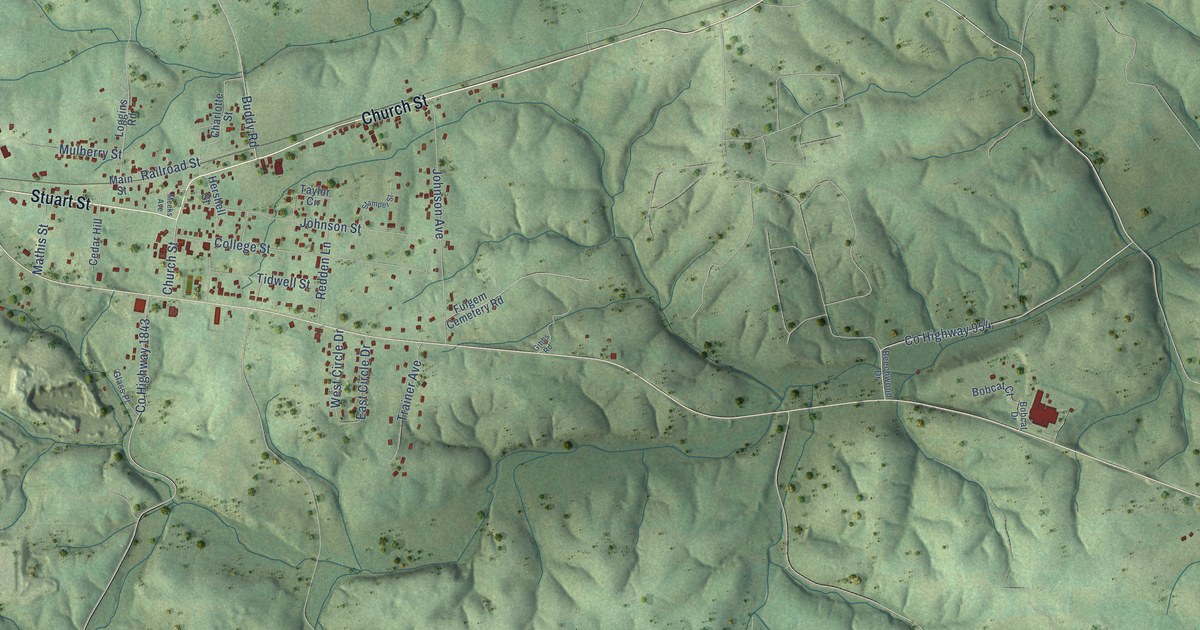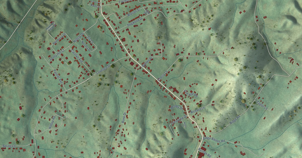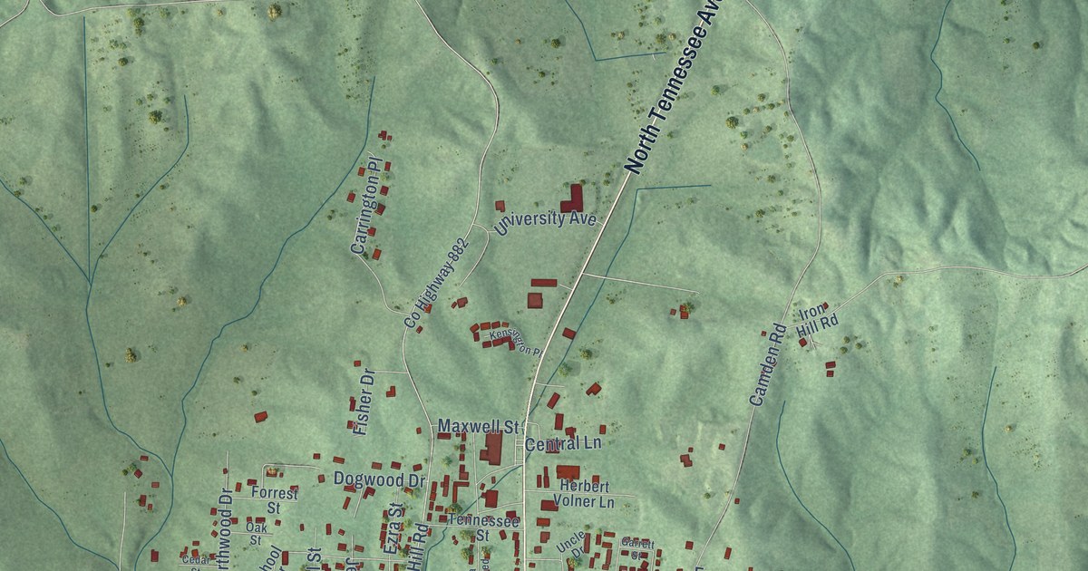
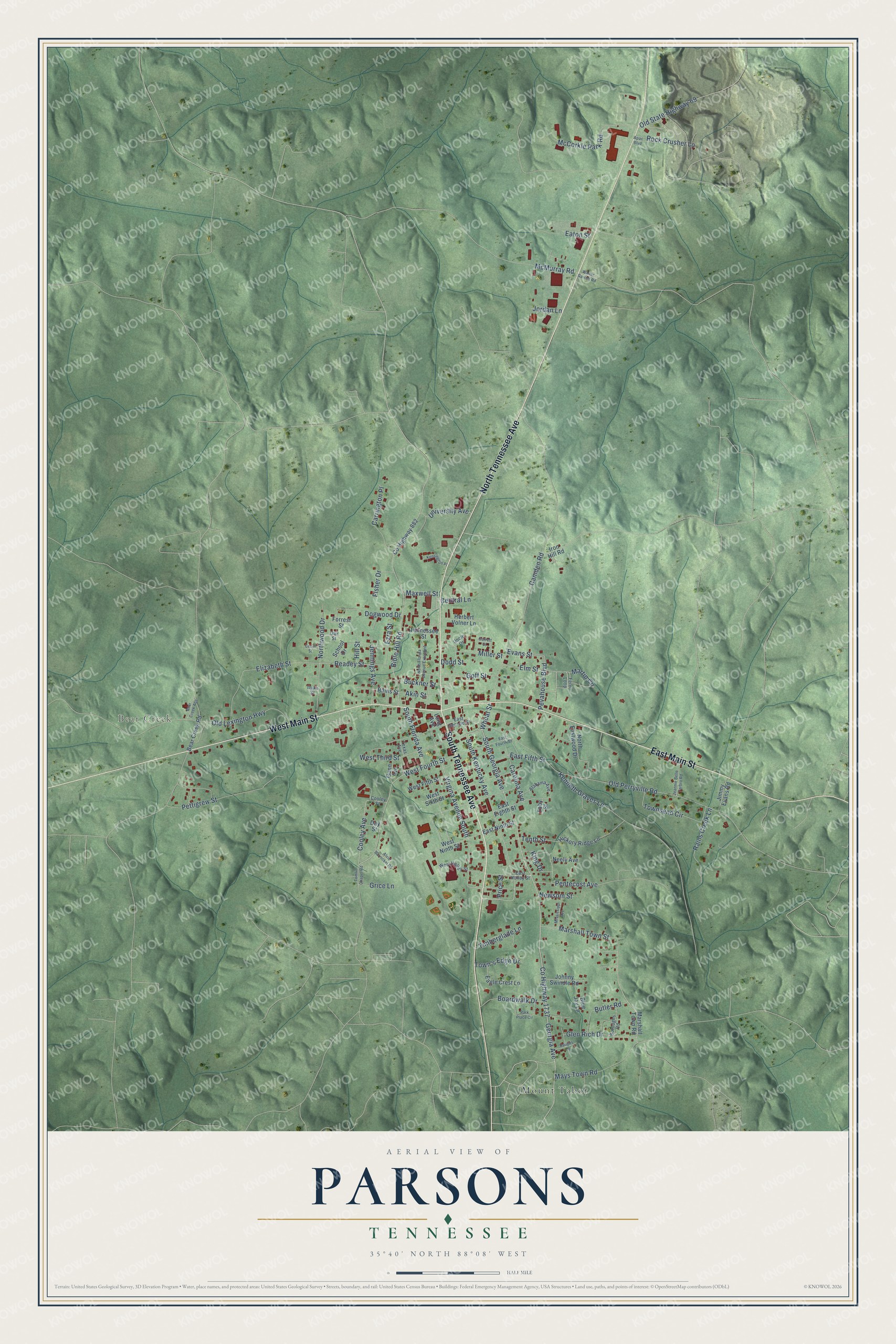
This beautifully detailed map of Parsons, Tennessee was created in 2026 using aerial imagery combined with modern topographical, census, street and landmark data. It's a modern aerial view of Parsons in Decatur County, Tennessee, that combines modern data with a vintage aesthetic. The roads feature printed names, and if you look closely you can find your exact house accurately shown in its correct location.
Explore an aerial view of Parsons, Tennessee
On this map you'll find Bear Creek, Mount Tabor, South Tennessee Avenue, North Tennessee Avenue, East Main Street, West Main Street, South Georgia Avenue, Georgia Avenue, Co Highway 1737, Elm Street, South Kentucky Avenue, Marshall Town Street, and more. Each red shape is a building, so zoom in on the preview and look for yours.
Parsons has a story worth telling. The record at tennesseeencyclopedia.net puts it this way: "The county’s largest town, Parsons, like many nineteenth-century communities in West Tennessee, developed around newly laid railroad tracks."
Parsons is a city in Decatur County. The Census Bureau counted 2,100 people here in 2020.
Take a closer look at the Parsons map
Names on this map
These names are printed on this map.
Places: Bear Creek and Mount Tabor.
Streets and roads: South Tennessee Avenue, North Tennessee Avenue, East Main Street, West Main Street, South Georgia Avenue, Georgia Avenue, County Highway 1737, Elm Street, South Kentucky Avenue, Marshall Town Street, Cooley Avenue, West Fourth Street.
More street names, A to Z
Akin Street, Alabama Avenue, Alvie Barnickel Road, Apac Boulevard, Baugus Lane, Bear Creek Acc, Bear Creek Road, Bible Hill Road, Blue Jay Lane, Boardwalk Drive, Boroughs Road, Buckner Street, Butler Road, Camden Road, Carolina Avenue, Carrington Place, Cedar Street, Central Lane, Cooley Street, County Highway 882, Day Street, Dodd Street, Dogwood Drive, Duke Street, Eagle Crest Lane, East Eighth Street, East Fifth Street, East Fourth Street, East Holley Street, East Ninth Street, East Second Street, Eaton Street, Elizabeth Street, Evans Street, Ezra Street, Fern Loop, Fisher Drive, Forrest Street, Garrett Street, Glen Rich Drive, Goff Street, Grice Lane, Gunn Avenue, Herbert Volner Lane, Hickory Ridge Lane, Hill Street, Iron Hill Road, Jeannie Belle Yarbro Road, Jennings Avenue, Jimmy Evans Road, Johnny Swindle Road, Jordan Lane, Kenneth Graves Lane, Kensington Place, King Drive, Long Avenue, Marshall Town Road, Martin Circle, Maxwell Street, Mays Town Road, McCorkle Park Road, McMurray Road, Miller Street, Mississippi Avenue, Neely Avenue, Newsom Street, North Eastwood Drive, North Florida Avenue Extended, Northwood Drive, Oak Street, Old Lexington Highway, Old Perryville Road, Old State Highway 69, Park Place Circle, Pentecost Avenue, Pettigrew Street, Pevahouse Boulevard, Price Street, Rains Creek Lane, Rains Street, Readey Street, Rock Crusher Lane, School Drive, South Florida Avenue, Tennessee Street, Tenth Street, Texas Avenue, Timberglade Lane, Toby Street, Tomlin Chapel Road, Town's Edge Drive, Townsend Circle, Uncle Drive, University Avenue, Virgina Avenue South, Walter Garrett Road, West Fifth Street, West Holley Street, West Ninth Street, West Sixth Street, West Third Street, Wheat Street.
Created by KNOWOL in 2026. The buildings are small red shapes, the roads carry their printed names, and shaded relief shows the shape of the land. The title panel reads "AERIAL VIEW OF PARSONS TENNESSEE" with 35°40' NORTH 88°08' WEST.
It looks right in a kitchen, an office or a den, and it's a gift for anyone who grew up in Parsons or moved away. Open the preview and find your street. See sizes and frames for the Parsons map.