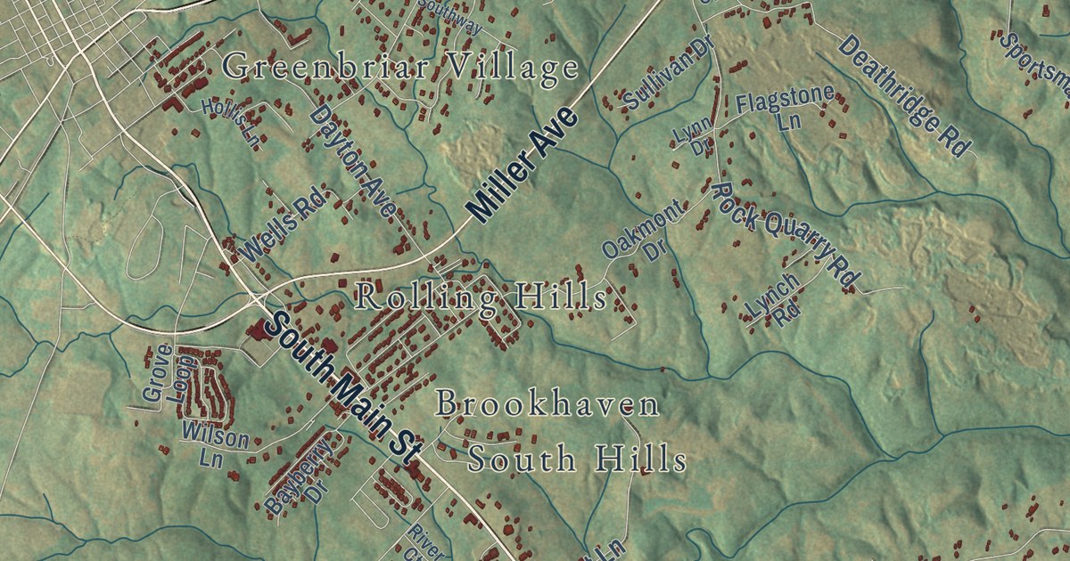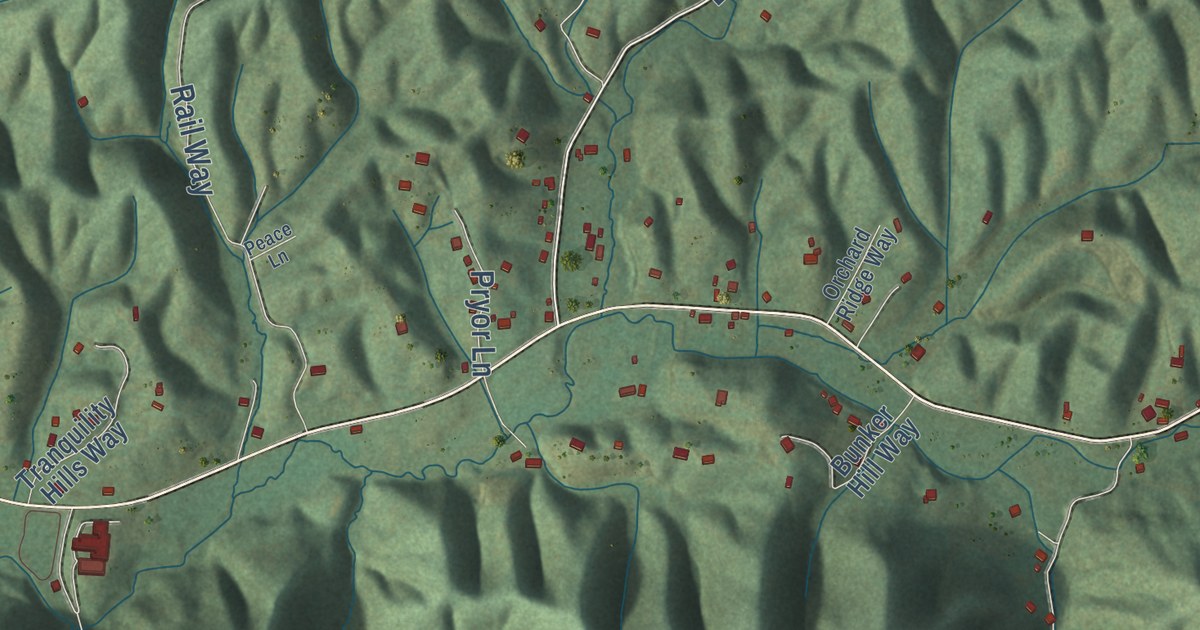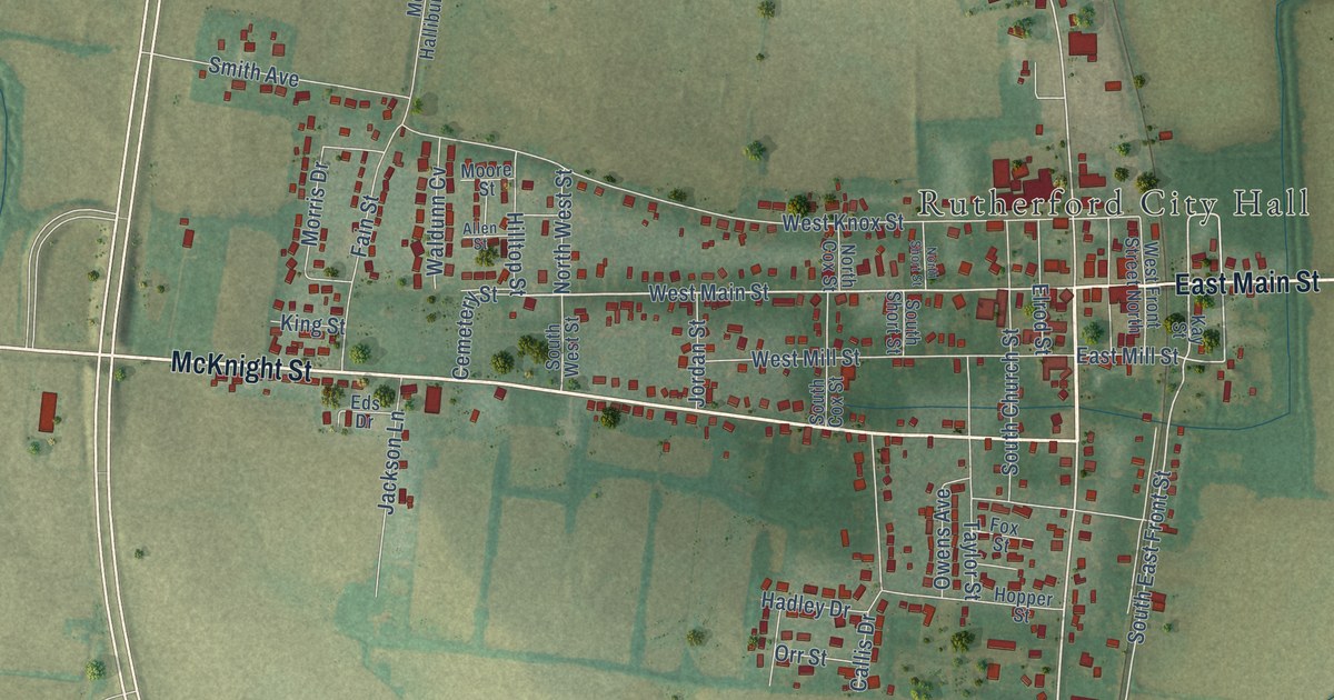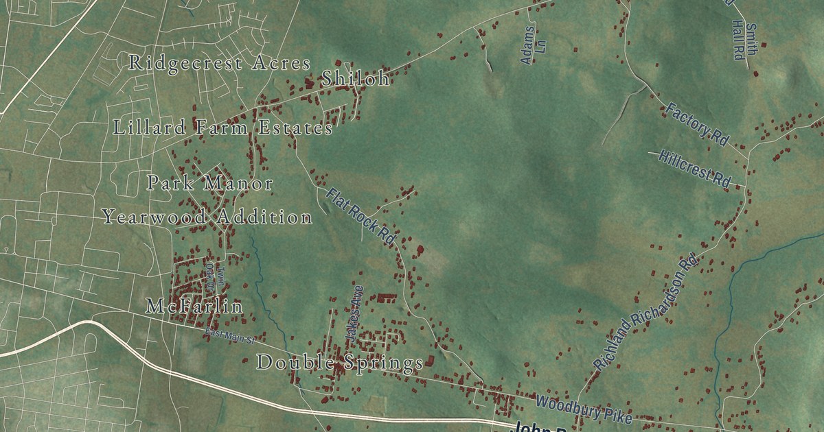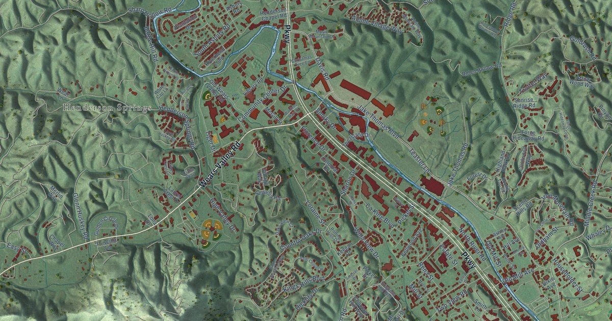
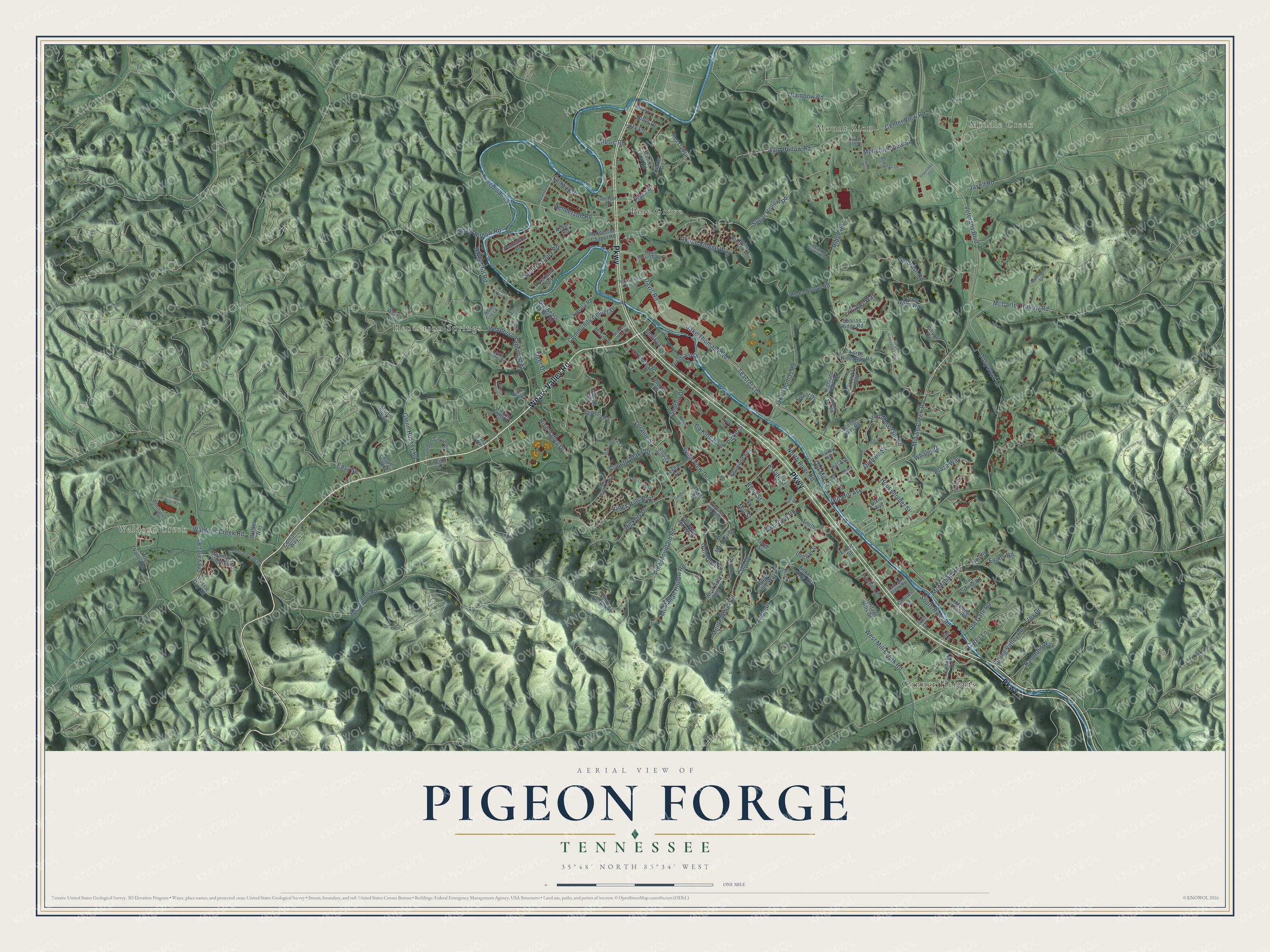
This beautifully detailed map of Pigeon Forge, Tennessee was created in 2026 using aerial imagery combined with modern topographical, census, street and landmark data. It’s a one-of-a-kind view of Pigeon Forge that combines accurate data with a vintage aesthetic. The map shows every building in its true location, many of the roads carry their names, and the shaded topographic relief shows the shape of the land.
Explore an aerial view of Pigeon Forge, Tennessee
On the map you’ll find Waldens Creek, Middle Creek, Henderson Springs, Conner Heights, Mount Zion, and Pine Grove, along with Wears Valley Road, Parkway, Veterans Boulevard, Teaster Lane, Pine Mountain Road, Henderson Road, and more. If you look closely you can even find your house accurately drawn in its correct location. Zoom in on the preview to look for yours.
Did you know this piece of Pigeon Forge, Tennessee history?
From Tennesseeencyclopedia.net: "Manufacturing in the county before the Civil War included cottage industries, the Sevierville Pottery, mills, the bloomery forge at Pigeon Forge established by Isaac Love in 1817, and Sweden furnace."
Take a closer look at the Pigeon Forge map
Street and place names on the Pigeon Forge, Tennessee map
These names are printed on the map of Pigeon Forge, Tennessee.
Places: Waldens Creek, Middle Creek, Henderson Springs, Conner Heights, Mount Zion and Pine Grove.
Streets and roads: Wears Valley Road, Parkway, Veterans Boulevard, Teaster Lane, Pine Mountain Road, Henderson Road, Cole Drive, Plaza Way, Two View Road, Ridge Road, Dollywood Lane, Middle Creek Road.
More street names, A to Z
Alpine Mountain Way, Alpine Village Way, Applewood Road, Arrow Wood Way, Asbury Road, Ashley Avenue, Autumn Lane, Battle Ground Drive, Battle Hill Road, Bellwood Avenue, Bohanan Drive, Brook Stone Way, Butler Street, Cain Hollow Road, Ca King Boulevard, Cates Lane, Center Road, Center View Road, Chapel Way, Charlottes Court, Choctaw Hill Way, Christmas Tree Lane, Clabo Way, Clintwood Way, Colonial Drive, Community Center Drive, Conner Drive, Conner Lane, Conrad Way, Country Oaks Drive, Davis Road, Day Spring Road, Dixie Avenue, Dogwood Circle, Duggan Street, Eagles Boulevard Way, East Mill Creek Road, Easy Street, Emert Street, Estate Street, Evans Road, Fenway Drive, Florence Drive, Foothills Road, Forest Drive, Forge Hideaway Loop, Forge Hideaway Road, Forge Street, Glen Eden Way, Glenn Huskey Road, Gold Dust Drive, Golden Circle Drive, Goldrush Road, Golf Drive, Golf Road, Henderson Chapel Road, Henderson Springs Road, Heritage Hills Drive, Hickory Drive, Highland Park Drive, High Valley Drive, Hill Avenue, Hillis Drive, Hitching Post Road, Honeymoon Garden Way, Householder Street, Indiana Avenue, Iron Circle Drive, Iron Mountain Road, Jake Thomas Boulevard, Jake Thomas Road, Jayell Road, Jehu Street, Joshua Lane, Keegan Drive, Kings Hills Boulevard, Laurel Crest Drive, Laurel Crest Lane, Lazy Lane, Library Road, Little Valley Road, Lloyd Huskey Road, Lona Drive, Loraine Street, Lost Branch Road, Mary Ridge Farm Road, McCarter Hollow Road, McGill Street, McMahan Hollow Road, McMahan Road, McMakin Lane, Merlin Way, Mill Street, Monte Wood Circle, Mountain Lodge Way, Mountain View Street, Mount Zion Street, Mr Marshall Drive, Mullendore Lane, Music Mountain Drive, Music Road, Myers Street, Nancy Street, North River Road, Oaks View Court, Ogle Drive, Old Gate Road, Oldham Street, Old Mill Avenue, Old Mill Street, Old Valley Road, Old Wears Valley Road, Parlin Drive, Peggy Lane, Pickel Drive, Pickel Street, Pine Peak Way, Pinyon Circle, Plantation Drive, Plaza Drive, Priscilla Lane, Progress Hill Boulevard, Rainbow Road, Ranmoor Way, Red Oak Drive, Rena Street, Riverbend Loop, River Divide Road, Rolen Hollow Road, Rolling Hills Drive, Round Top Road, Russie Gap Road, Saint Charles Place, Scenic Hills Road, Scenic Loop Road, Sequoia Road, Sharon Drive, Sharp Hollow Road, Shirley Avenue, Silver Pine Way, Smelcer Drive, Smith Lane, Smoky Drive, South Asbury Road, South River Road, Spring Valley Road, Sugar Hollow Road, Sunrise Ridge Road, Sunset Drive, The Island Drive, Tiger Drive, Tinker Hollow Road, Trotter Way, Troy Drive, Valley Drive, Village Way, Waldens Creek Road, Waldens Main Street, Walker Way, Wear Lane, West Gold Dust Drive, West Mill Creek Road, Whaley Drive, White Cap Lane, Willa View Drive, Willow Street.
See the Pigeon Forge, Tennessee map on a wall
The Pigeon Forge map as an 18 x 24 inch print in a black frame.

This beautifully detailed map of Pigeon Forge makes an attractive addition to your office, library, or den, and it can even be used to teach children the geography and history of the area. It also makes a great gift for anyone who grew up in Pigeon Forge or moved away. When you’re done exploring, click here to get your copy of the Pigeon Forge map.