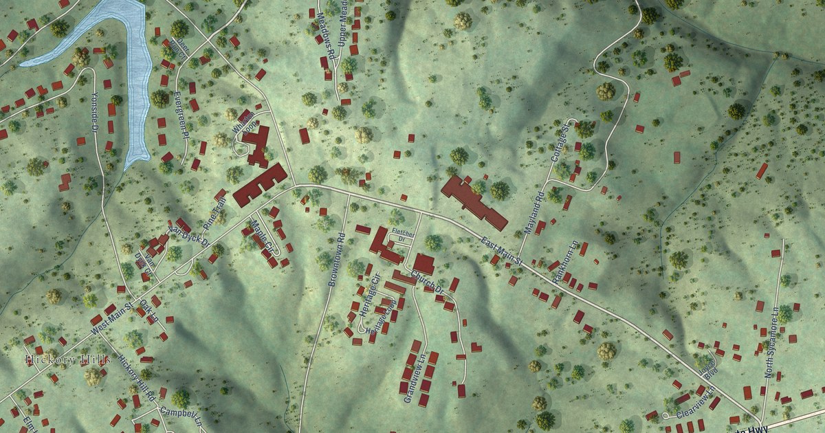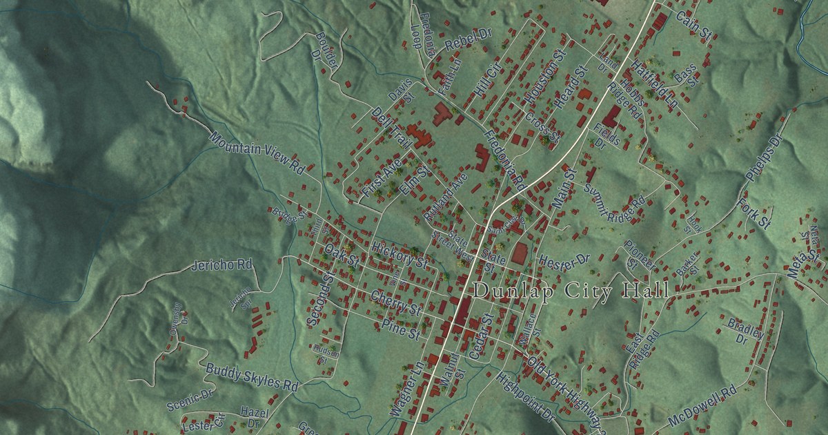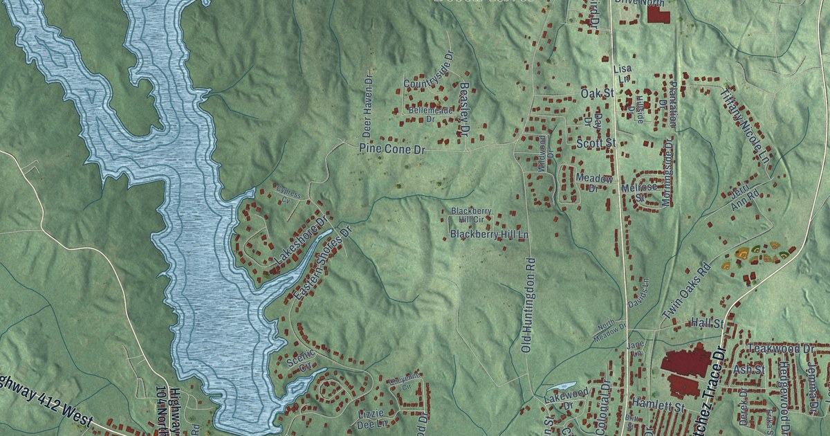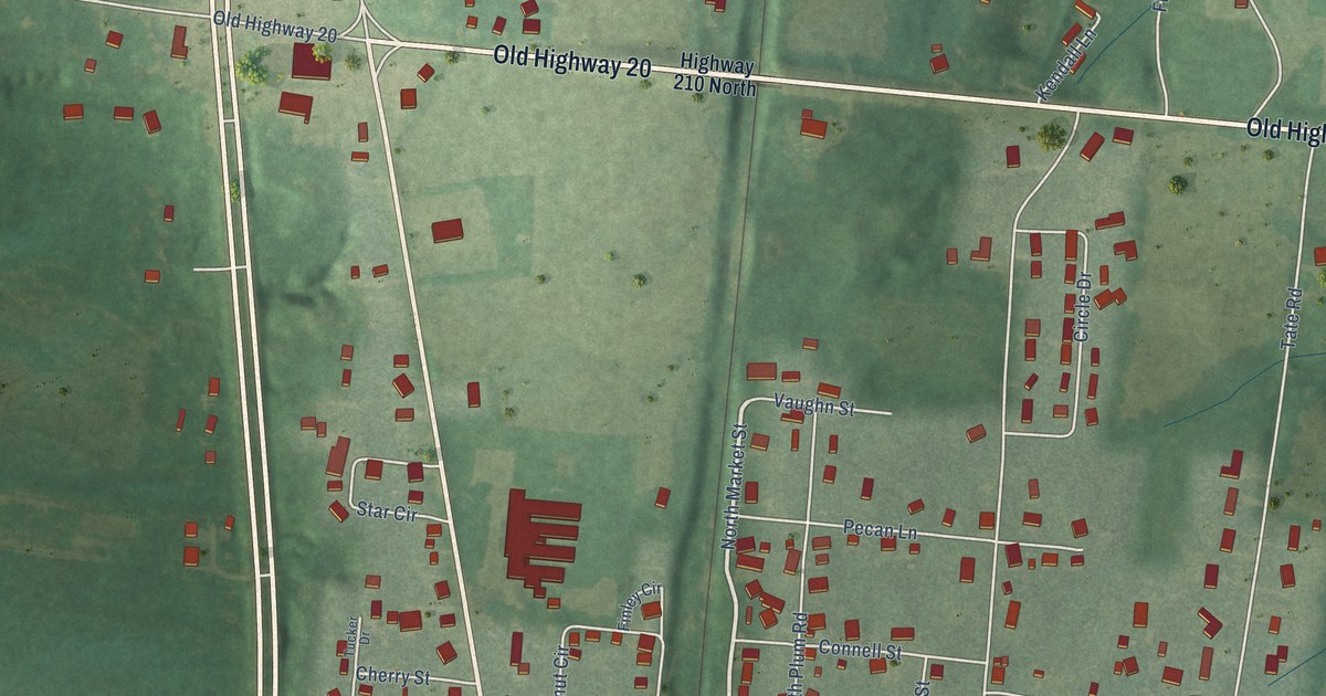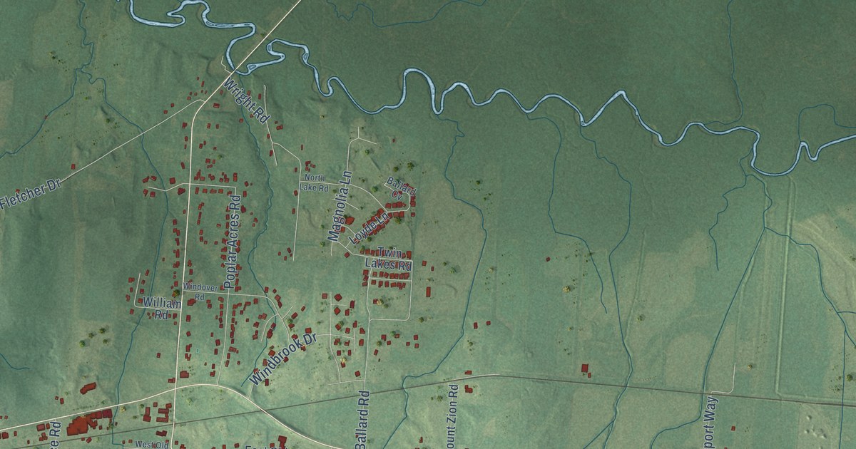
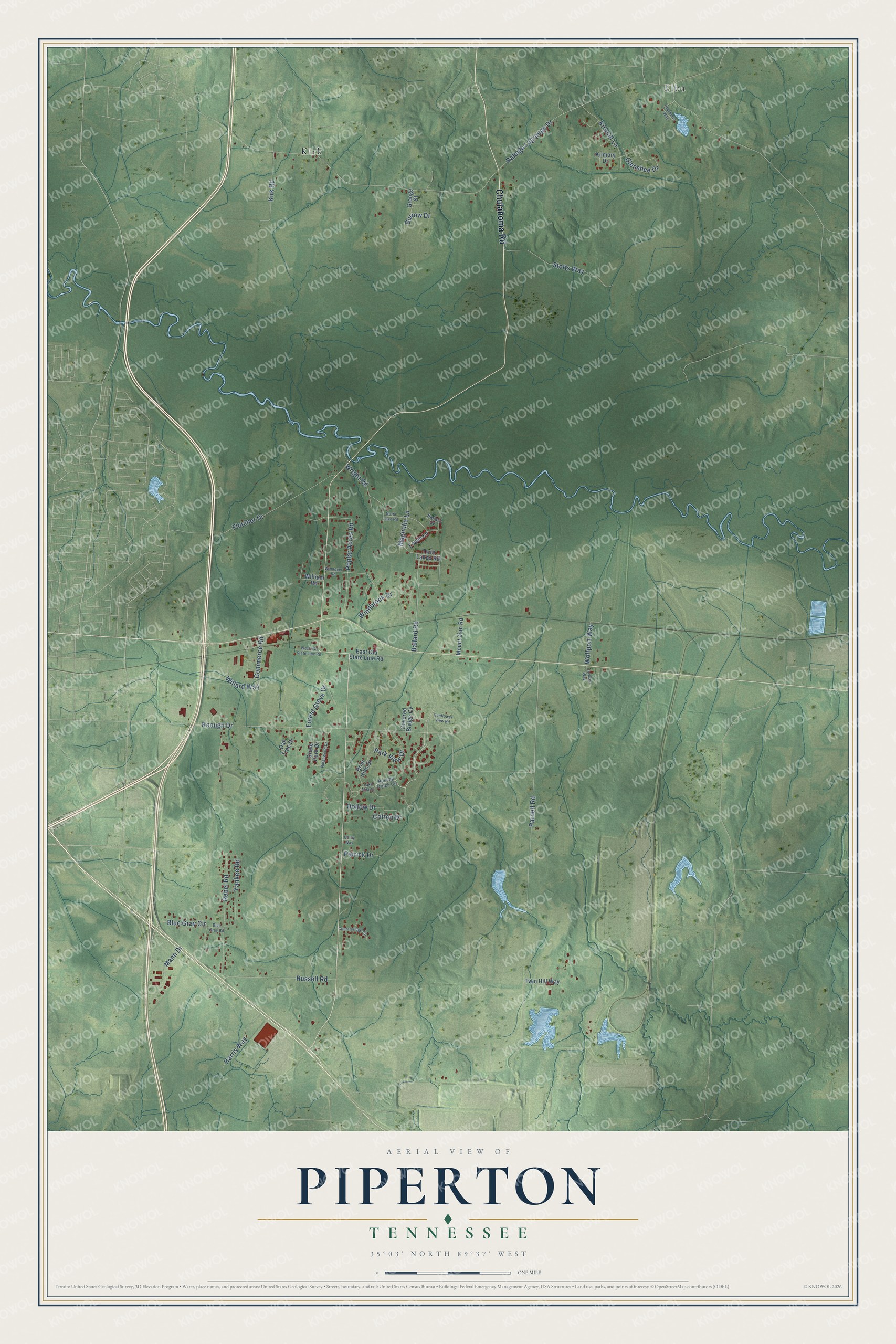
This beautifully detailed map of Piperton, Tennessee was created in 2026 using aerial imagery combined with modern topographical, census, street and landmark data. It's a modern aerial view of Piperton in Fayette County, Tennessee, that combines modern data with a vintage aesthetic. The roads feature printed names, and if you look closely you can find your exact house accurately shown in its correct location.
Explore an aerial view of Piperton, Tennessee
On this map you'll find Elba, Kirk, Chulahoma Road, Yankee Road, Raleigh Lagrange Drive, Keough Drive, Parnell Road, Fletcher Drive, Poplar Acres Road, Rebel Road, Stotts Way, Magnolia Lane, and more. Each red shape is a building, so zoom in on the preview and look for yours.
Piperton has a story worth telling. The Tennessee County History Series puts it this way: "Piperton, in the extreme southwest corner of the county, extends on its western border to the Shelby County line. Much of the present area of the town was a part of Marshall County, Mississippi, until 1837 when a survey was made that showed it to be in Tennessee."
Piperton is a city in Fayette County. The Census Bureau counted 2,263 people here in 2020.
Take a closer look at the Piperton map
Names on this map
These names are printed on this map.
Places: Elba and Kirk.
Streets and roads: Chulahoma Road, Yankee Road, Raleigh Lagrange Drive, Keough Drive, Parnell Road, Fletcher Drive, Poplar Acres Road, Rebel Road, Stotts Way, Magnolia Lane, Russell Road, Ballard Road.
More street names, A to Z
Ballard Cv, Blue Gray Circle, Blue Gray Road, Brier Hills Drive, Burrow Drive, Coley Way, Commerce Road, Countryridge Circle, Covered Bridge Cv, Critton Drive, East Old State Line Road, Forest Grove Drive, Glenshee Drive, Grange Street, Grove Park Drive, Harris Way, Hollow Drive, Jackson Way, Kilmory Drive, Kirkhill Lane, Kirk Road, Lake Mist Drive, Loyde Lane, Mann Drive, Mayberry Way, Mount Zion Road, North Lake Road, Oak Tree Drive, Park View Drive, Patrick Drive, Ridgewood Drive, Russell Creek Circle, Sunflower View Road, Twin Hill Way, Twin Lakes Road, West Old State Line Road, Willard Way, William Road, Windbrook Drive, Windover Road, Wolfport Way, Wright Road.
Created by KNOWOL in 2026. The buildings are small red shapes, the roads carry their printed names, and shaded relief shows the shape of the land. The title panel reads "AERIAL VIEW OF PIPERTON TENNESSEE" with 35°03' NORTH 89°37' WEST.
It looks right in a kitchen, an office or a den, and it's a gift for anyone who grew up in Piperton or moved away. Open the preview and find your street. See sizes and frames for the Piperton map.