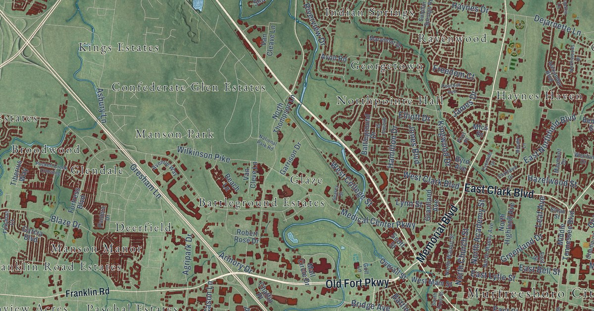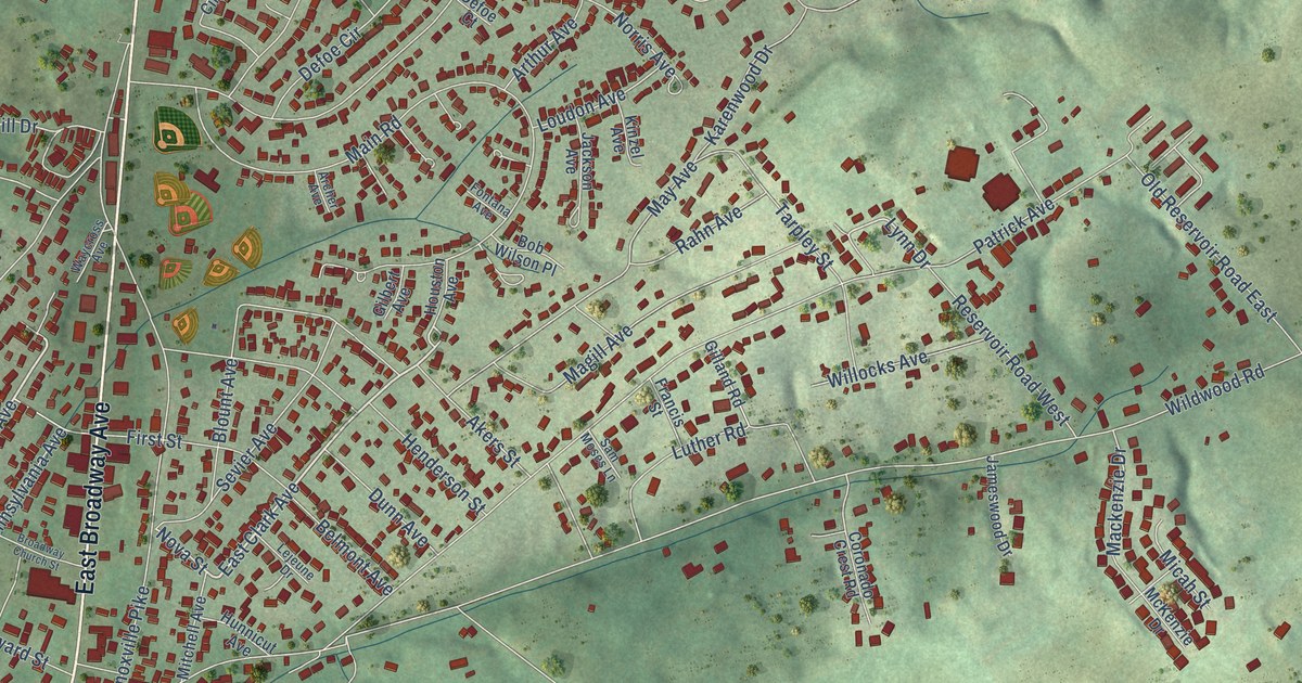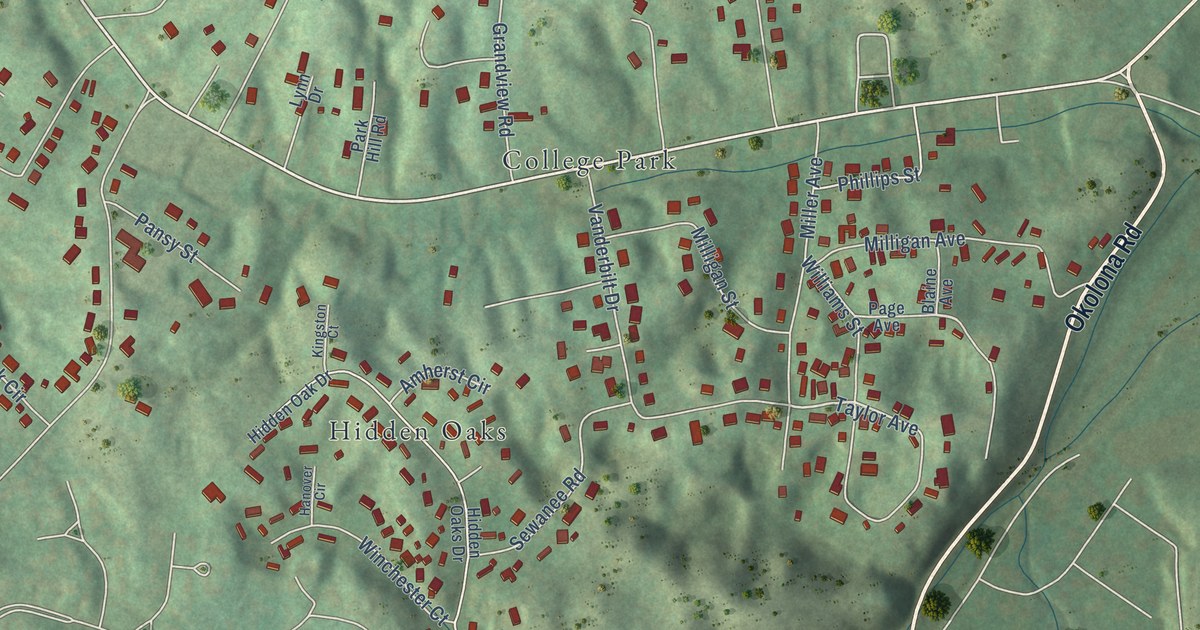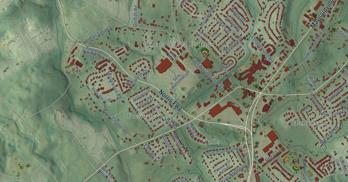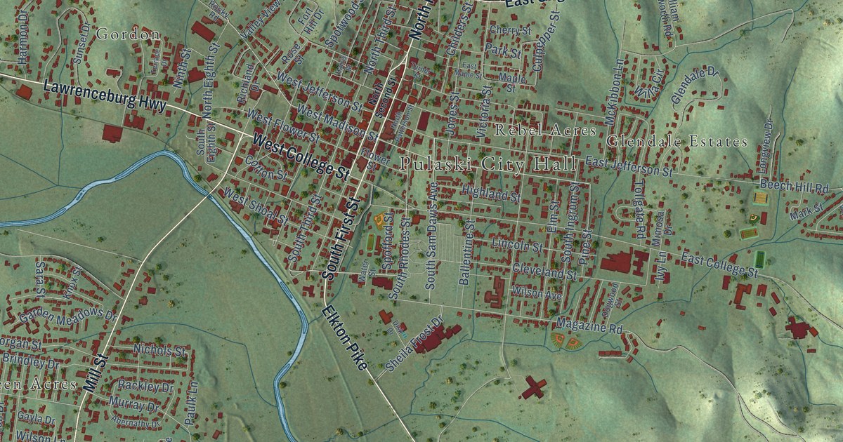
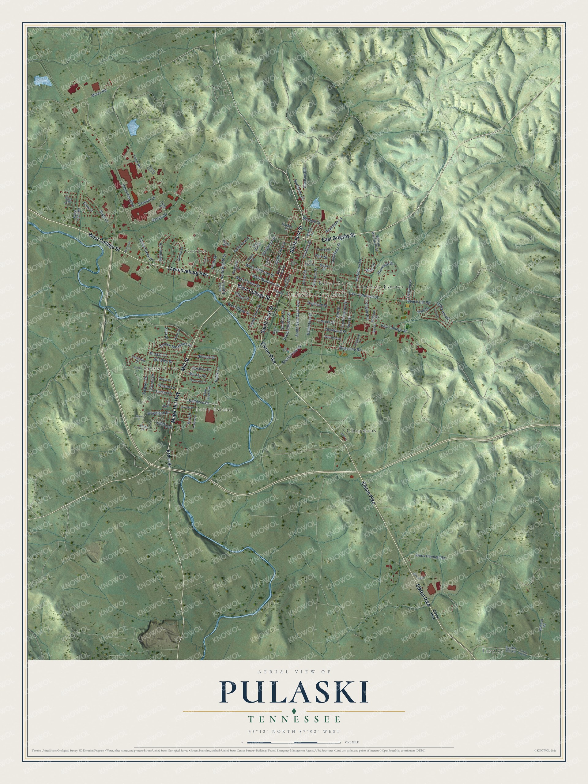
This beautifully detailed map of Pulaski, Tennessee was created in 2026 using aerial imagery combined with modern topographical, census, street and landmark data. It's a modern aerial view of Pulaski in Giles County, Tennessee, that combines modern data with a vintage aesthetic. The roads feature printed names, and if you look closely you can find your exact house accurately shown in its correct location.
Explore an aerial view of Pulaski, Tennessee
On this map you'll find Pulaski City Hall, Chapmans, Glendale Estates, Gordon, Green Acres, Rebel Acres, Tarpley, Terry Estates, Elkton Pike, West College Street, South First Street, North First Street, and more. Each red shape is a building, so zoom in on the preview and look for yours.
Every town has a first chapter, and Pulaski is no exception. The record at tennesseeencyclopedia.net puts it this way: "Both Elkton and Prospect claim the designation of first settlement in the county; they were followed by Lynn Creek, Campbellsville, Pulaski, Bodenham, Crosswater, Aspen Hill, and Blooming Grove."
Pulaski is a city in Giles County. The Census Bureau counted 8,397 people here in 2020.
Take a closer look at the Pulaski map
Names on this map
These names are printed on this map.
Places: Pulaski City Hall, Chapmans, Glendale Estates, Gordon, Green Acres, Rebel Acres, Tarpley and Terry Estates.
Streets and roads: Elkton Pike, West College Street, South First Street, North First Street, Minor Hill Highway, East Grigsby Street, Mill Street, Lawrenceburg Highway, Kathleen Drive, West Madison Street, South Rhodes Street, South Third Street.
More street names, A to Z
Abernathy Drive, Amos Hamlett Road, Ballentine Street, Beech Hill Road, Bennett Drive, Bethel Road, Bledsoe Road, Braly Lane, Brenda Drive, Brindley Drive, Brown Drive, Bunker Hill Road, Carroll Drive, Charlotte Drive, Cherry Street, Childers Street, Cleveland Street, Cotton Street, Culpepper Street, Disk Drive, Dogwood Street, East College Street, East Jefferson Street, East Maple Street, Easy Street, Elkton Highway, Elm Street, Flower Street, Fort Hill Drive, Garden Meadows Drive, Garner Drive, Gayla Drive, Gayla Lane, Glendale Drive, Gordon Lane, Gordon Street, Harmon Drive, Harris Street, Highland Street, Hilltop Circle, Hilltop Drive, Industrial Boulevard, Integrity Way, Ivy Lane, Jackson Drive, Jones Street, Kay Drive, Keller Avenue, Knox Street, Lincoln Street, Long Street, Longview Drive, Loop Road, Magazine Road, Maple Street, Mark Street, McKibbon Lane, Mimi Circle, Mimosa Drive, Mines Road, Mitchell Street, Morgan Street, Murray Drive, Nichols Street, Ninth Street, North Eighth Street, North Patterson Street, North Second Street, Northside Drive, North Third Street, Park Street, Paulk Lane, Pierce Lane, Pine Street, Pine View Avenue, Rackley Drive, Ragsdale Lane, Richland Drive, Riley Hill Road, Robin Hood Road, Rocky Road, Rose Street, Sara Street, Scott Road, Sheila Frost Drive, South Eighth Street, South Ingrum Street, South Sam Davis Avenue, Spofford Street, Spotwood Street, Stone Creek Drive, Stonecreek Drive, Sunset Drive, Tarpley Shop Road, Terrace Drive, Thomas Gatlin Drive, Tollgate Road, Tucker Drive, Turner Street, Valley View Drive, Victoria Street, Wallace Road, Walnut Street, Water Street, West Flower Street, West Jefferson Street, West Shoal Street, Willa Circle, William Whitworth Road, Wilson Avenue, Wilson Lane, Woodland Drive.
Created by KNOWOL in 2026. The buildings are small red shapes, the roads carry their printed names, and shaded relief shows the shape of the land. The title panel reads "AERIAL VIEW OF PULASKI TENNESSEE" with 35°12' NORTH 87°02' WEST.
Hang it in the hallway, the office or the cabin, or give it to someone who left Pulaski and still calls it home. Open the preview and look for a street you know. See sizes and frames for the Pulaski map.