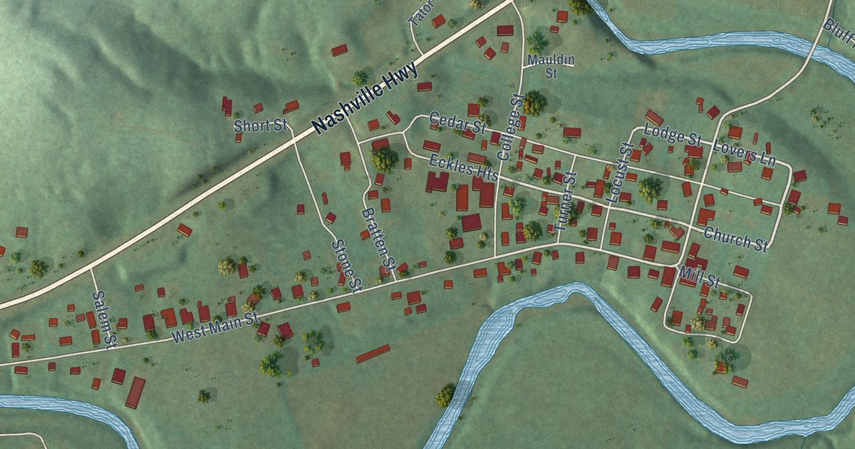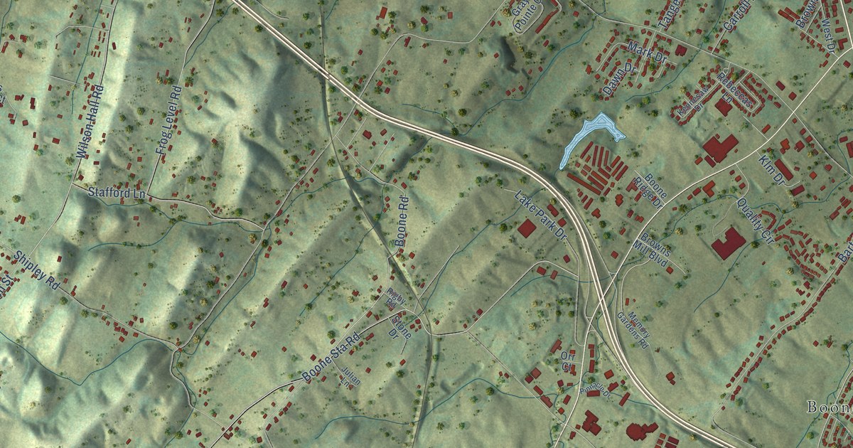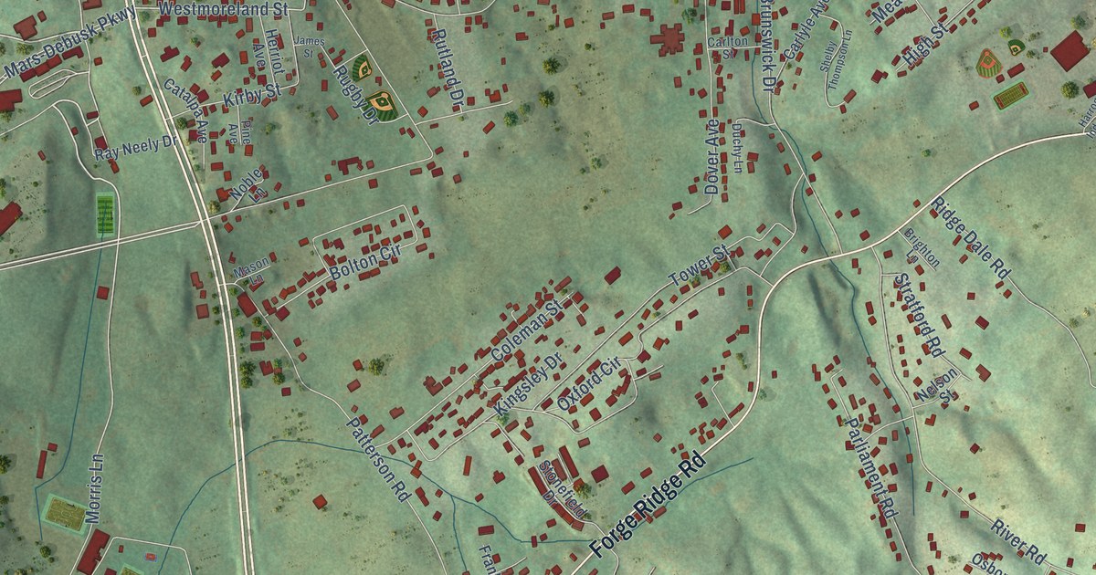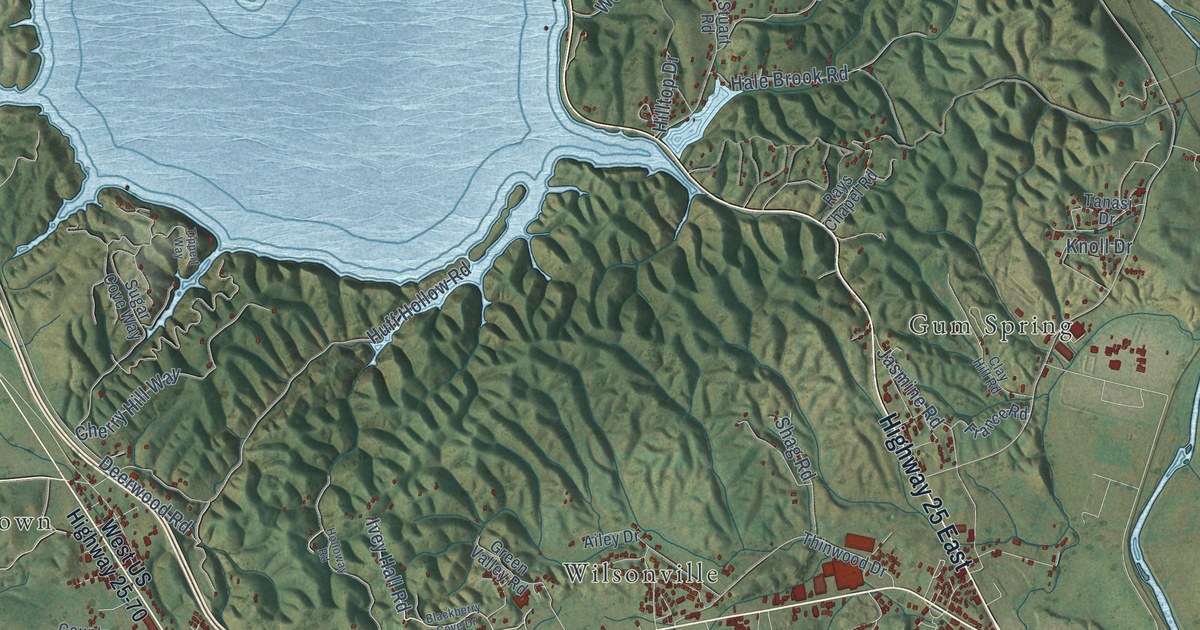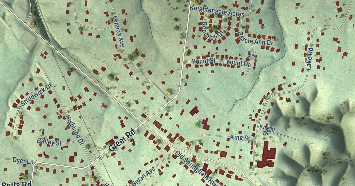
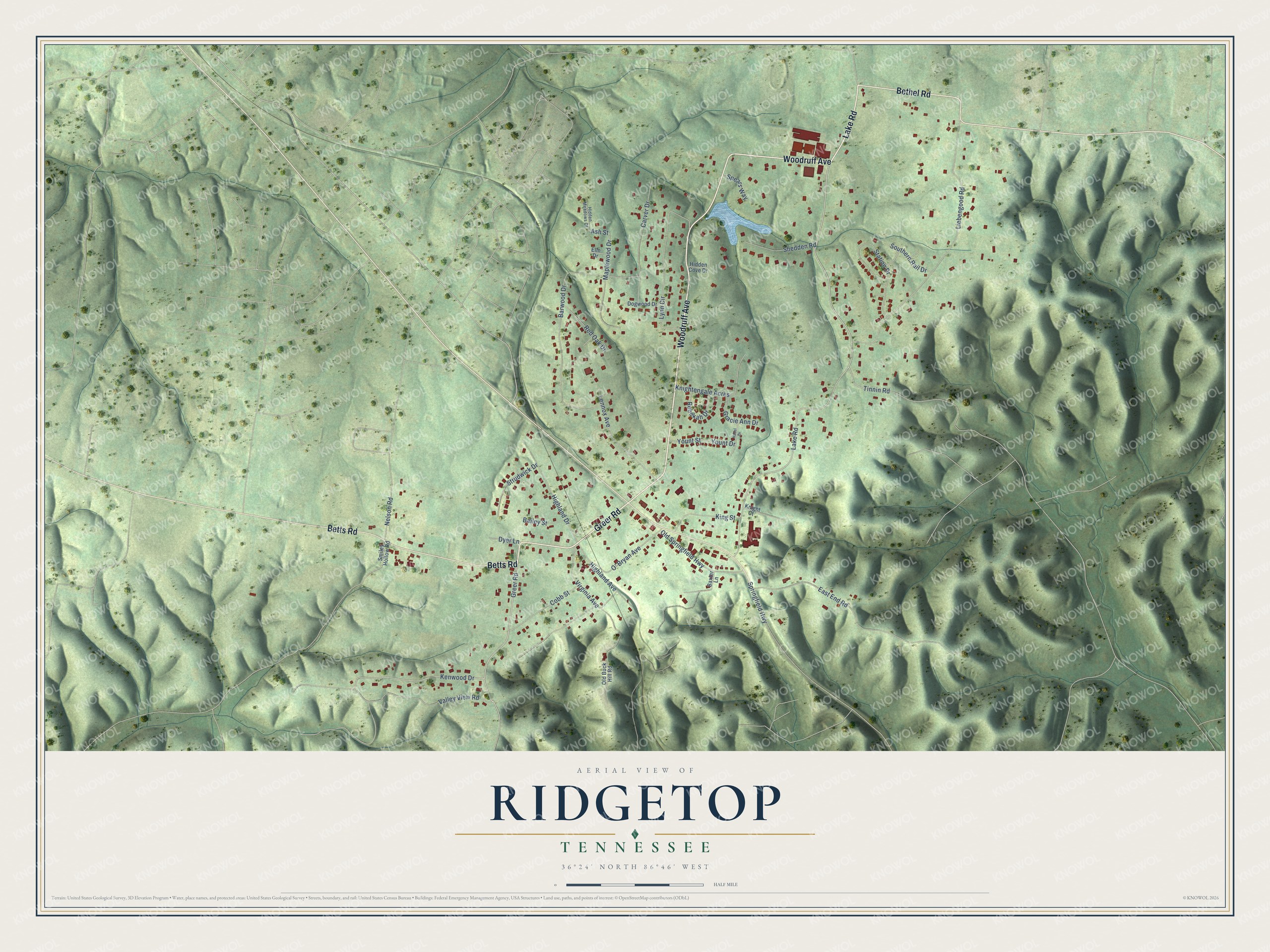
This beautifully detailed map of Ridgetop, Tennessee was created in 2026 using aerial imagery combined with modern topographical, census, street and landmark data. It’s a one-of-a-kind view of Ridgetop that combines accurate data with a vintage aesthetic. The map shows every building in its true location, many of the roads carry their names, and the shaded topographic relief shows the shape of the land.
Explore an aerial view of Ridgetop, Tennessee
On the map you’ll find Woodruff Avenue, Greer Road, Lake Road, Bethel Road, Betts Road, Kenwood Drive, Tinnin Road, Ash Street, Liebengood Road, Barwood Drive, Lynn Circle, Highland Avenue, and more. If you look closely you can even find your house accurately drawn in its correct location. Zoom in on the preview to look for yours.
Did you know this piece of Ridgetop, Tennessee history?
From the National Park Service: "First settled as a farming community, the Ridgetop area began to attract wealthy Nashvillians as a retreat from the sweltering summer heat of Nashville. Daily train service to Nashville allowed businessmen to commute to work from Ridgetop to Nashville in the morning and then return to Ridgetop in the evening."
Take a closer look at the Ridgetop map
Street names on the Ridgetop, Tennessee map
These names are printed on the map of Ridgetop, Tennessee.
Streets and roads: Woodruff Avenue, Greer Road, Lake Road, Bethel Road, Betts Road, Kenwood Drive, Tinnin Road, Ash Street, Liebengood Road, Barwood Drive, Lynn Circle, Highland Avenue.
More street names, A to Z
Bailey Street, Baxter Lane, Carver Drive, Cobb Street, Dogwood Drive, Dyer Lane, East End Road, Elm Drive, Gracie Ann Drive, Hazel Drive, Hidden Cove Drive, Hidden Meadows Court, Highland Drive, King Street, Knight Court, Knightengale Acres, Lennox Avenue, Maplewood Drive, Nelson Road, O' Bryan Avenue, Old Buck Hill Road, Old Springfield Highway, Rebekah Drive, Red Oak Drive, Shedden Road, Smiley Hollow Road, Southern Rail Drive, Spears Way, Springfield Highway, Station Drive, Strudwick Drive, Valley View Road, Virginia Avenue, Yount Drive, Yount Street.
See the Ridgetop, Tennessee map on a wall
The Ridgetop map as an 18 x 24 inch print in a black frame.

This beautifully detailed map of Ridgetop makes an attractive addition to your office, library, or den, and it can even be used to teach children the geography and history of the area. It also makes a great gift for anyone with Ridgetop roots. When you’re done exploring, click here to get your copy of the Ridgetop map.