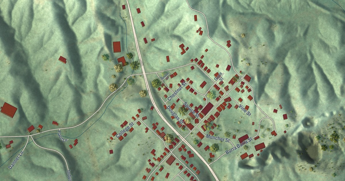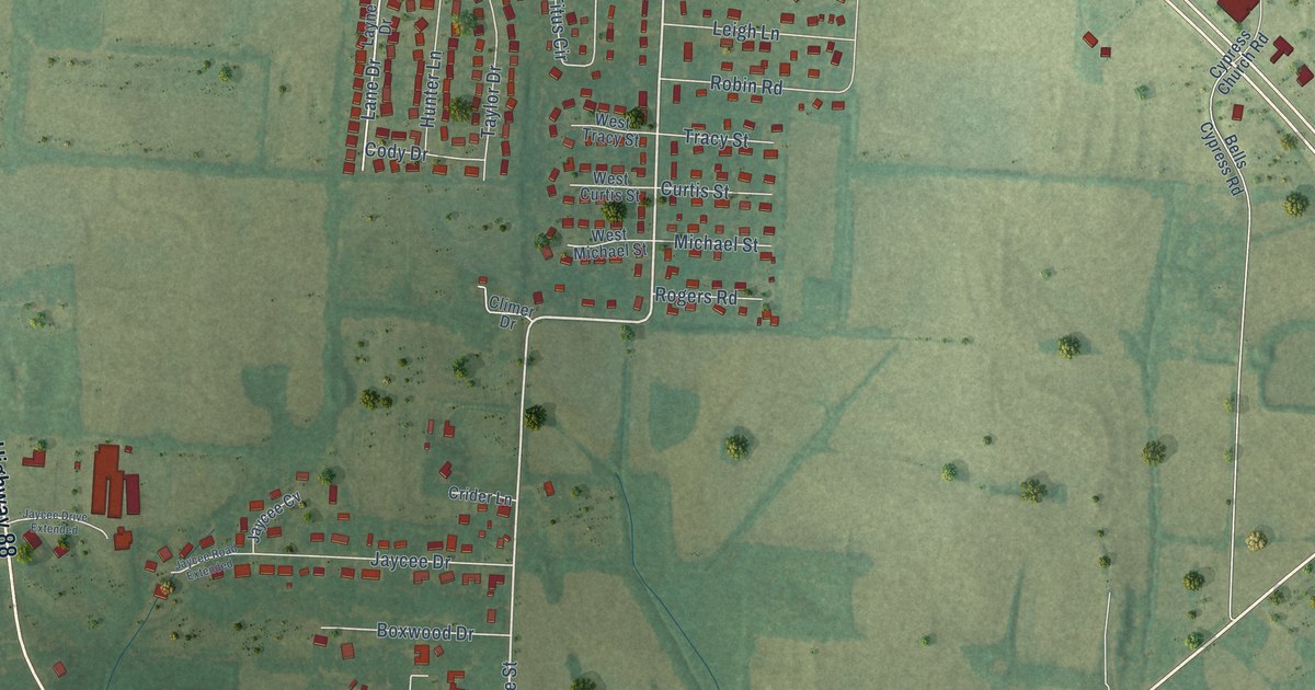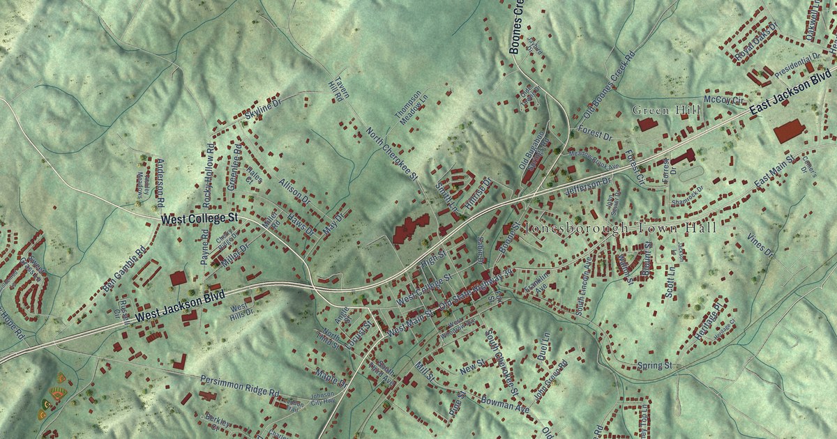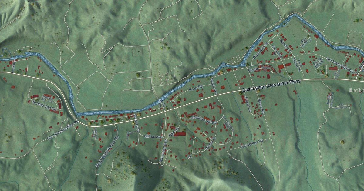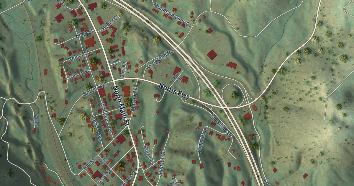
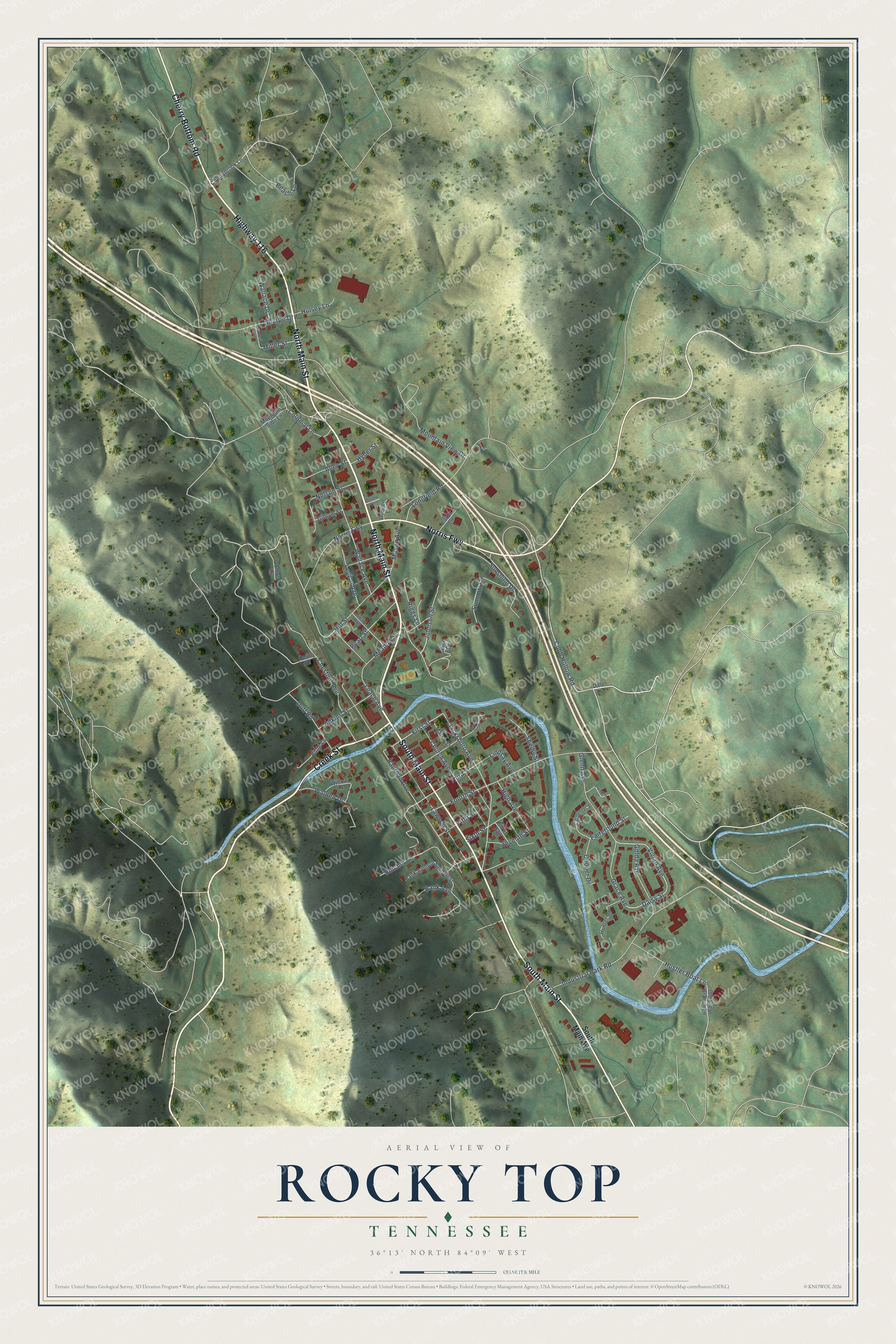
This beautifully detailed map of Rocky Top, Tennessee was created in 2026 using aerial imagery combined with modern topographical, census, street and landmark data. It's a modern aerial view of Rocky Top in Anderson County, Tennessee, that combines modern data with a vintage aesthetic. The roads feature printed names, and if you look closely you can find your exact house accurately shown in its correct location.
Explore an aerial view of Rocky Top, Tennessee
On this map you'll find North Main Street, Highway 116, South Main Street, Cherry Bottom Road, Norris Fwy, Creek Street, Cobb Hollow Road, Vivian Avenue, Daisy Street, Railroad Avenue, Third Street, First Street, and more. Each red shape is a building, so zoom in on the preview and look for yours.
Every town has a first chapter, and Rocky Top is no exception. The Historical Marker Database puts it this way: "Country Music songwriter and performer Dean Dillon was born Larry Dean Fynn on March 26, 1955, in Lake City, Tennessee (later renamed Rocky Top). Although Dillon began his career as a performer, he became renowned as a songwriter."
Rocky Top is a city in Anderson County. The Census Bureau counted 1,628 people here in 2020.
Take a closer look at the Rocky Top map
Names on this map
These names are printed on this map.
Streets and roads: North Main Street, Highway 116, South Main Street, Cherry Bottom Road, Norris Fwy, Creek Street, Cobb Hollow Road, Vivian Avenue, Daisy Street, Railroad Avenue, Third Street, First Street.
More street names, A to Z
Adkins Street, Alice Drive, Alley Street, Amos Lane, Bank Avenue, Bank Avenue Southwest, Beach Lane, Bittle Lane, Bolin Road, Butcher Lane, Carpenter Street, Cherrybrook Lane, Chestnut Avenue, Church Avenue, Colonial Lane, Cooper Drive, Dale Lane, Dolen Drive, Dowlen Lane, Duff Road, Euclid Avenue, Fairground Street, Fifth Street, Fourth Street, Gilliam Street, Glenn Avenue, Golda Avenue, Grace Avenue, High Avenue, Hillcrest Avenue, Hill Street, Hulsey Lane, Hunter Drive, Hustler Boat Lane, Hyder Street, Industrial Park Road, Jacksboro Avenue, Johnson Street, Laker Lane, Lawson Street, Leach Avenue, Legion Avenue, Lindsay Avenue, Longfield Road, Marsh Street, Mason Avenue, Meadow Street, Miller Street, Mountain Side Lane, Mountain View Drive, Nelson Street, Old Clear Branch Lane, Pearl Street, Presnell Lane, Riggs Lane, Second Street, Seventh Street, Sharpe Drive, Shelby Street, Short Avenue, Sixth Street, South Main Avenue, Summitt Lane, Sunshine Drive, Walden Drive, Wallace Avenue, Wallace Drive, Willow Lane.
Created by KNOWOL in 2026. The buildings are small red shapes, the roads carry their printed names, and shaded relief shows the shape of the land. The title panel reads "AERIAL VIEW OF ROCKY TOP TENNESSEE" with 36°13' NORTH 84°09' WEST.
Hang it in the hallway, the office or the cabin, or give it to someone who left Rocky Top and still calls it home. Open the preview and look for a street you know. See sizes and frames for the Rocky Top map.