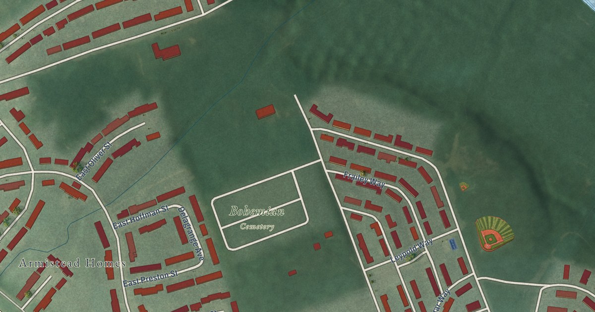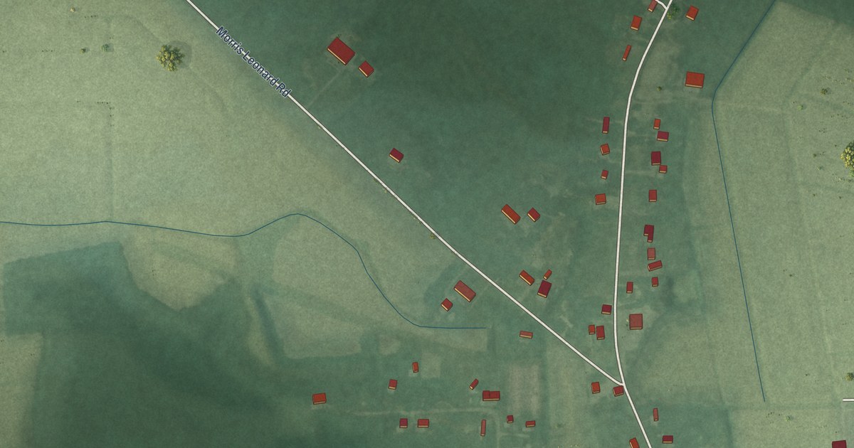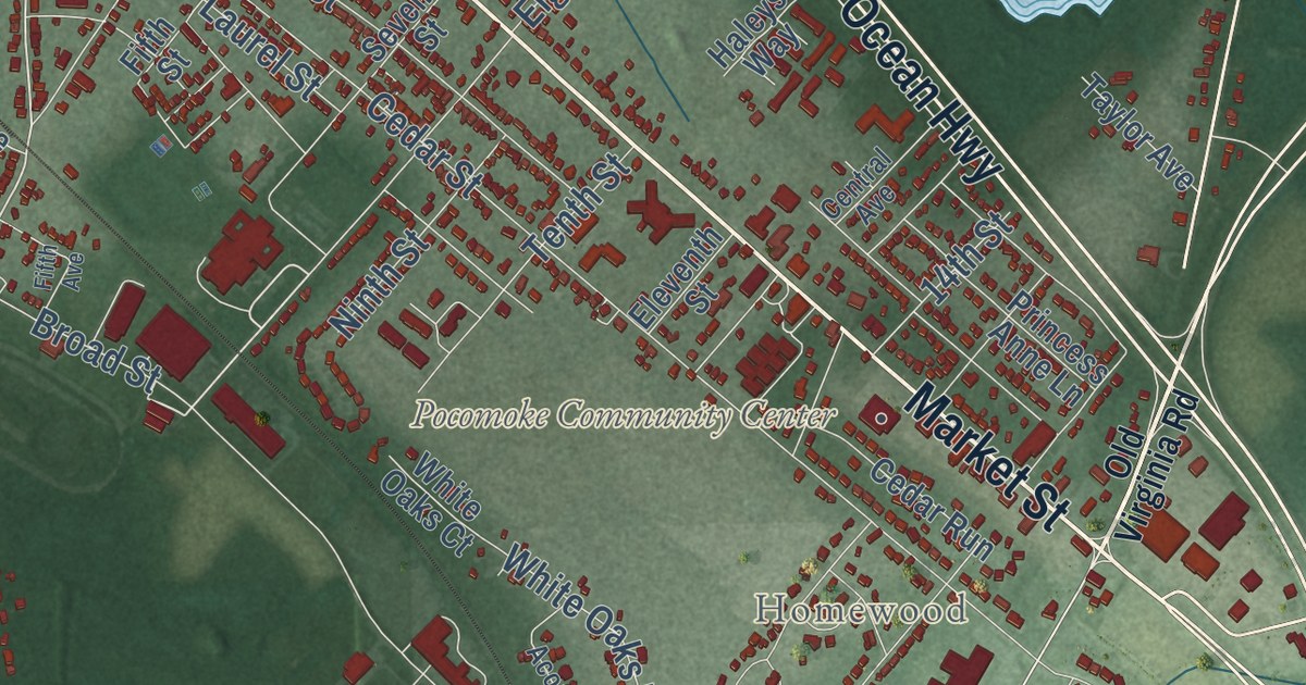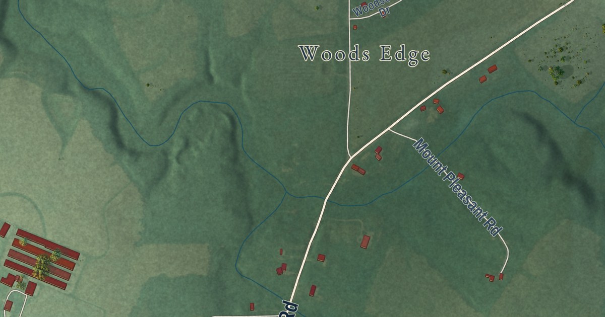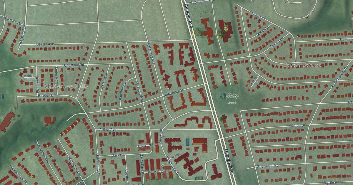
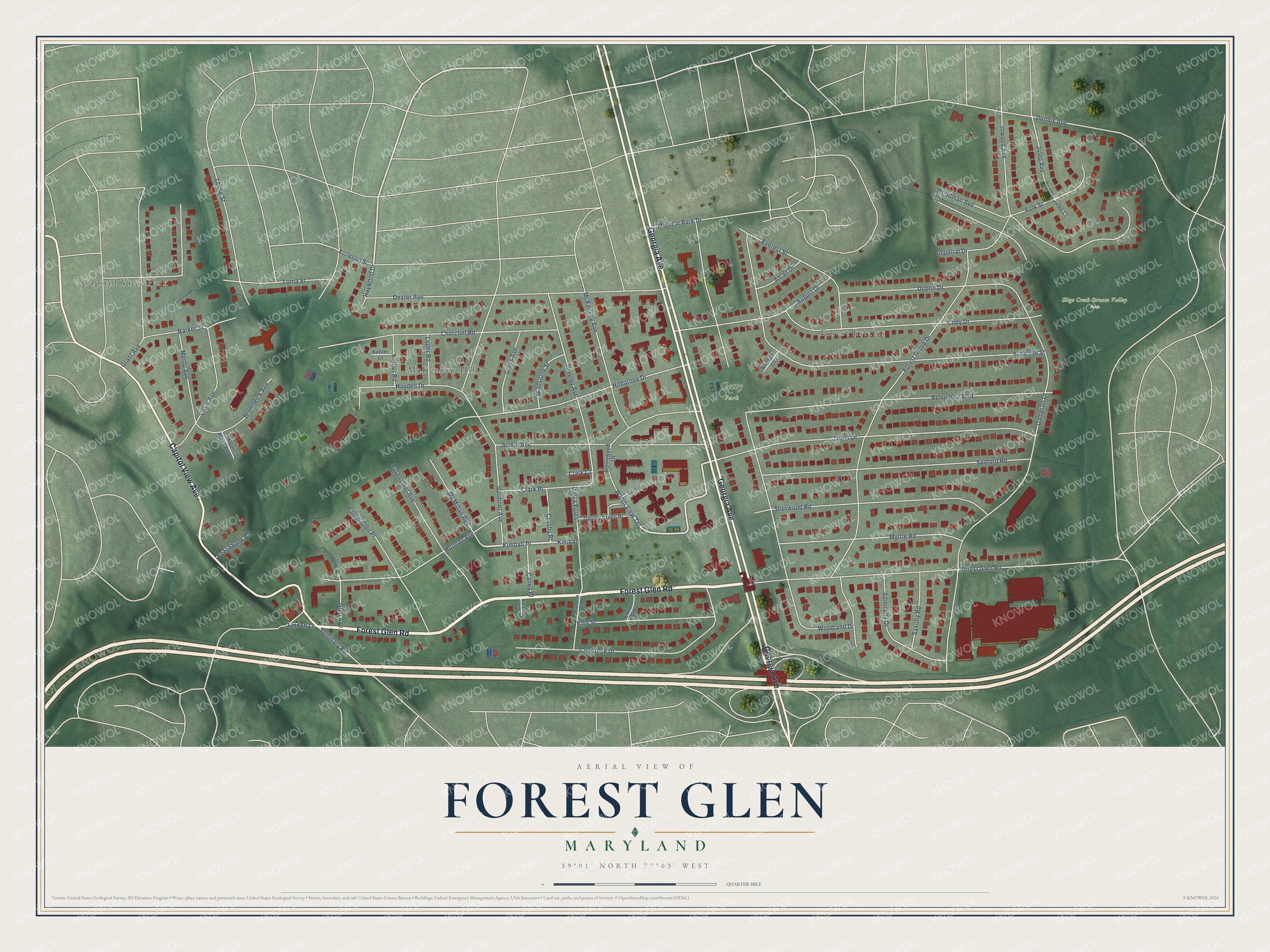
This beautifully detailed map of Forest Glen, Maryland was created in 2026 using aerial imagery combined with modern topographical, census, street and landmark data. It’s a one-of-a-kind view of Forest Glen that combines accurate data with a vintage aesthetic. The map shows every building in its true location, many of the roads carry their names, and the shaded topographic relief shows the shape of the land.
Explore an aerial view of Forest Glen, Maryland
On the map you’ll find Sligo Creek Stream Valley Park, Getty Park, Capitol View Park, Forest Estates, McKenney Hills, and Kimball Place, along with Forest Glen Road, Georgia Avenue, Capitol View Avenue, Coleridge Drive, Walsh View Terrace, Haywood Drive, and more. If you look closely you can even find your house accurately drawn in its correct location. Zoom in on the preview to look for yours.
Did you know this piece of Forest Glen, Maryland history?
From the Montgomery County Planning Department: "An ornate Stick Style hotel, the Forest Inn (1887), was the centerpiece of a speculative real estate development in Forest Glen. When the hotel proved unsuccessful, John and Vesta Cassedy purchased the site and converted it, in 1894, into a finishing school for young women."
Forest Glen is a community in Montgomery County.
Take a closer look at the Forest Glen map
Street and place names on the Forest Glen, Maryland map
These names are printed on the map of Forest Glen, Maryland.
Places: Sligo Creek Stream Valley Park, Getty Park, Capitol View Park, Forest Estates and McKenney Hills.
Streets and roads: Forest Glen Road, Georgia Avenue, Capitol View Avenue, Coleridge Drive, Walsh View Terrace, Kimball Place, Haywood Drive, Crosby Place, Forest Grove Drive, Belvedere Boulevard, Woodland Drive, Brisbane Street.
More street names, A to Z
Admiralty Drive, Alcan Drive, Arthur Avenue, August Drive, Barker Street, Beechbank Road, Belvedere Place, Blundon, Bonnywood Lane, Brisbane Court, Brunswick Avenue, Caney Place, Churchill Road, Clark Court, Clark Place, Cody Drive, Dameron Drive, Darcey Green Place, Darcy Forest, Dennis Avenue, Dexter Avenue, Dublin Drive, Eccleston Street, Elkton Avenue, Ellis Street, Everest Street, Folk Street, Forest Glen Court, Gardiner Avenue, Gates Avenue, Gladstone Street, Glen Avenue, Grant Avenue, Greeley Avenue, Hayden Drive, Hildarose Drive, Hollow Glen Place, Holman Avenue, Imperial Drive, Inwood Avenue, Julep Avenue, Julep Court, Kimball, Kohler Court, Kohler Road, Leafy Avenue, Leder Road, Leslie Street, Linden Lane, Loma Street, McKenney Avenue, McMillan Avenue, Medical Park Drive, Menlo Avenue, Mount Pleasant Road, Myrtle Road, Rosensteel Avenue, Sanford Road, Saxony Road, Seminary Road, Sherwood Road, Tilton Drive, Woodman Avenue.
See the Forest Glen, Maryland map on a wall
The Forest Glen map as an 18 x 24 inch print in a black frame.

This beautifully detailed map of Forest Glen makes an attractive addition to your office, library, or den, and it can even be used to teach children the geography and history of the area. It also makes a great gift for anyone with Forest Glen roots. When you’re done exploring, click here to get your copy of the Forest Glen map.