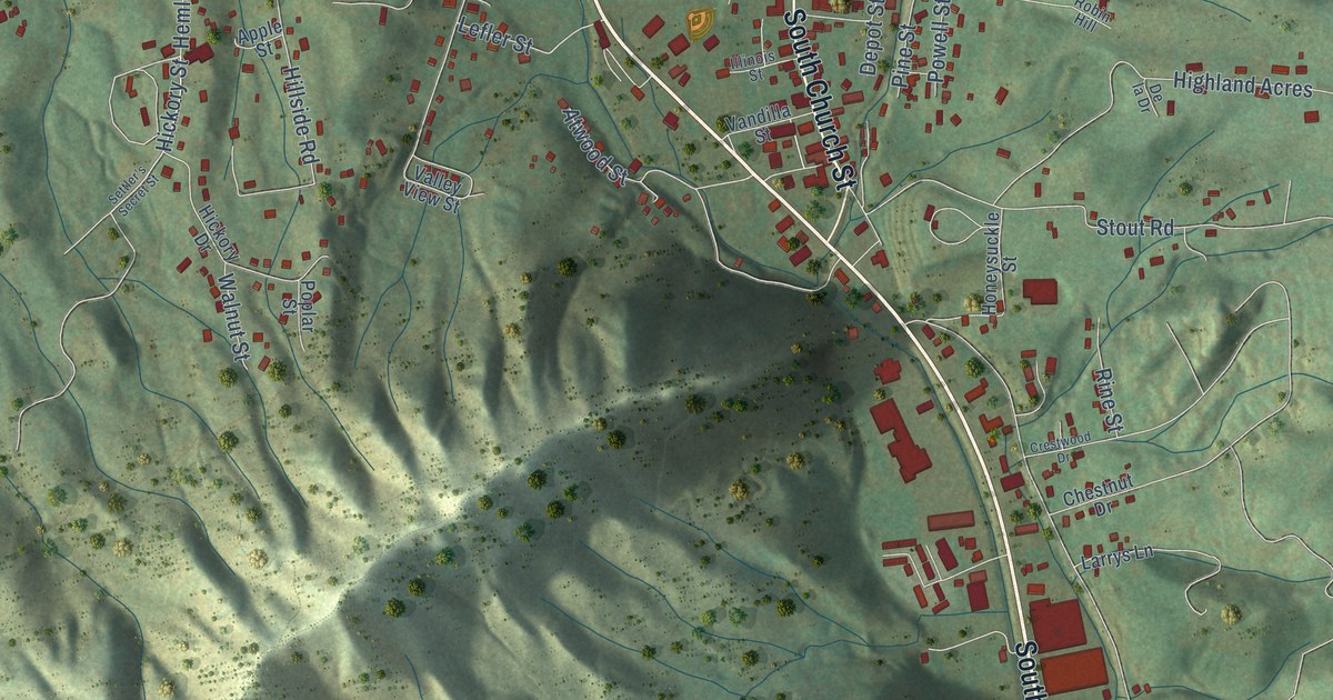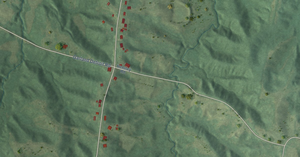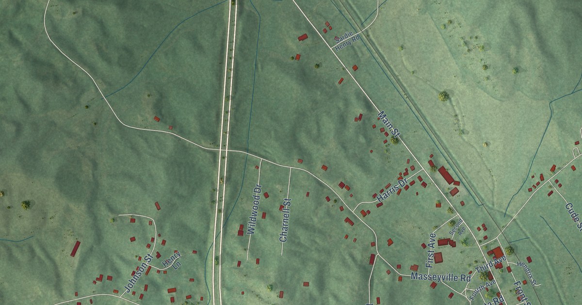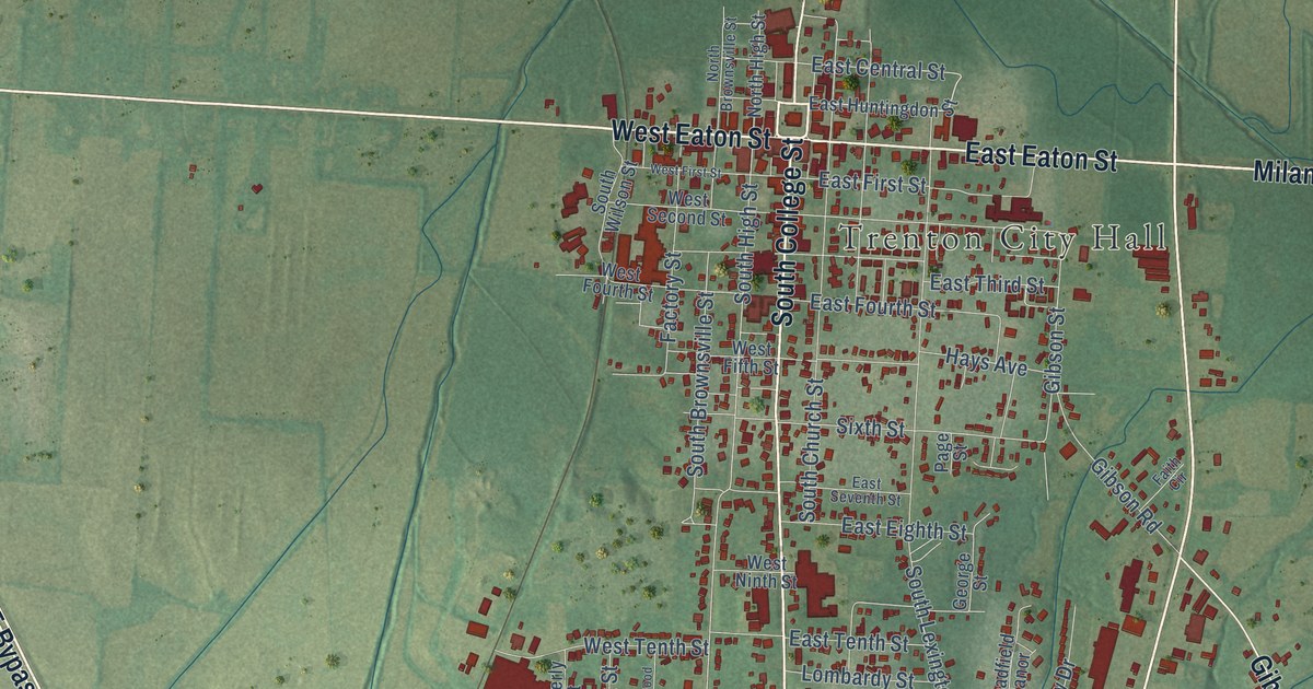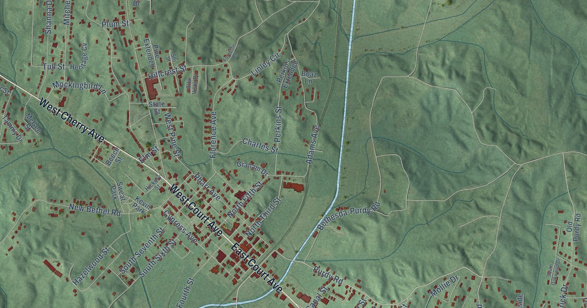
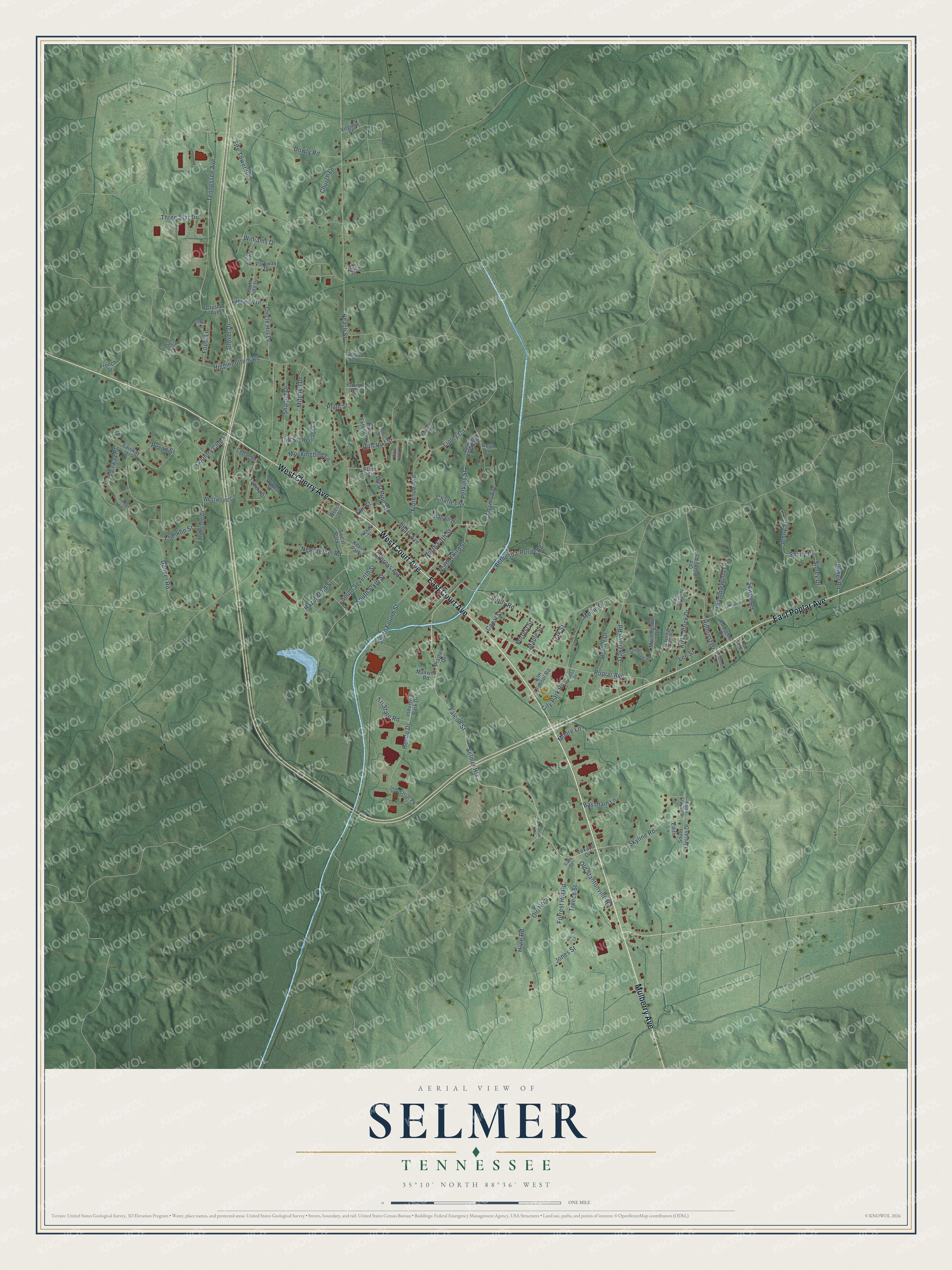
This beautifully detailed map of Selmer, Tennessee was created in 2026 using aerial imagery combined with modern topographical, census, street and landmark data. It's a modern aerial view of Selmer in McNairy County, Tennessee, that combines modern data with a vintage aesthetic. The roads feature printed names, and if you look closely you can find your exact house accurately shown in its correct location.
Explore an aerial view of Selmer, Tennessee
On this map you'll find East Poplar Avenue, East Court Avenue, West Court Avenue, Mulberry Avenue, West Cherry Avenue, Purdy Road, Poplar Avenue, Oakgrove Road, Selmer Heights, Skyline Road, Falcon Street, Cypress Avenue, and more. Each red shape is a building, so zoom in on the preview and look for yours.
Here is a piece of Selmer history, in the words of the record. The record at tennesseeencyclopedia.net puts it this way: "Thrasher, an Alabama investor, built a courthouse and donated it to the county at Selmer, voters agreed to move the county seat to the railroad town, where it remains."
Selmer is a town in McNairy County. The Census Bureau counted 4,446 people here in 2020.
Take a closer look at the Selmer map
Names on this map
These names are printed on this map.
Places: Sweat Park and Kevin Park.
Streets and roads: East Poplar Avenue, East Court Avenue, West Court Avenue, Mulberry Avenue, West Cherry Avenue, Purdy Road, Poplar Avenue, Oakgrove Road, Selmer Heights, Skyline Road, Falcon Street, Cypress Avenue.
More street names, A to Z
Adams Avenue, Alta Vista Drive, Anderson Drive, Baker Road, Bassham Lane, Beech Street, Bethesda-Purdy Road, Boaz Lane, Bramblewood Drive, Canal Street, Cedar Street, Charles Street, Church Lane, Circle Hill Drive, City Park Road, Clayhill Drive, Country Club Lane, Crystal Avenue, Dancer Road, Doss Drive, Dowty Road, Edith Lane, Elm School Road, Elm Street, Fairway Lane, Fairway Place, Falcon Road, Fire Tower Road, Florence Avenue, Forrest Hill Road, Forrest Street, Forsythe Road, Foust Lane, Franklin Street, French Street, Gene Street, Glover Drive, Graham Drive, Hazelwood Street, Henco Drive, Heritage Cv, Hickory Street, Hideaway Acres, Higginbottom Road, Hillcrest Street, Hillhurst Drive, Hively Lane, Hivle Road, Horner Drive, Industrial Park Drive, Industrial Pk, Jenny Street, Jones Street, Kirkpatrick Drive, Lakeview Drive, Lee Street, Linley Circle, Lynnbrook Drive, Maple Street, Maxwell Road, McGee Street, Mitchell Drive, Mockingbird Lane, Mollie Drive, Moore Lane, Morningside Drive, New Bethel Road, North Elysian Drive, North Fifth Street, North Third Street, Oak Street, Old No 5, Old Purdy Road, Old Stantonville Road, Parkway, Parkway Drive, Paulomar Drive, Peach Street, Pecan Street, Perkins Extended, Perkins Street, Pharr Avenue, Pine Extended, Plum Street, Prather Drive, Sandy Drive, Sewell Road, Shanna Drive, Shelby Drive, Shi Street, Sibley Drive, Sixth Street, South Elysian Drive, South Fourth Street, South Oakwood Drive, South Seventh Street, South Sixth Street, South Tina Drive, Starla Lane, State Street, Sunset Cv, Tammy Drive, Tennessee Avenue, Texaco Drive, Three Star Drive, Timber Lane, Trae Cv, Treece Street, Tri State Road, Tull Street, Virginia Street, West Pine Street, Westwood Circle, Williams Drive, Woodmont Drive, Young Drive.
Created by KNOWOL in 2026. The buildings are small red shapes, the roads carry their printed names, and shaded relief shows the shape of the land. The title panel reads "AERIAL VIEW OF SELMER TENNESSEE" with 35°10' NORTH 88°36' WEST.
It suits a den, a classroom or a front hall, and it makes a gift for anyone with Selmer roots. Open the preview and find the block you know. See sizes and frames for the Selmer map.