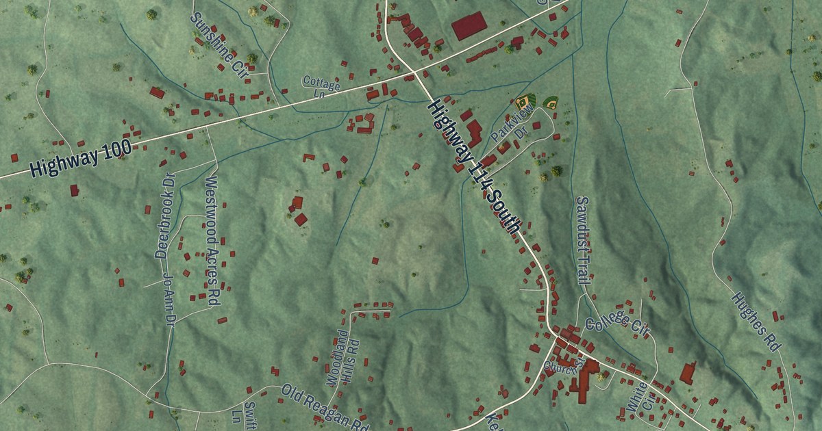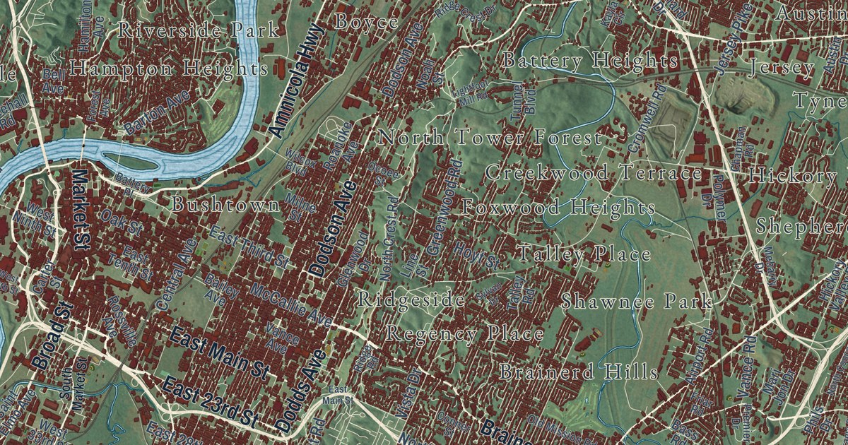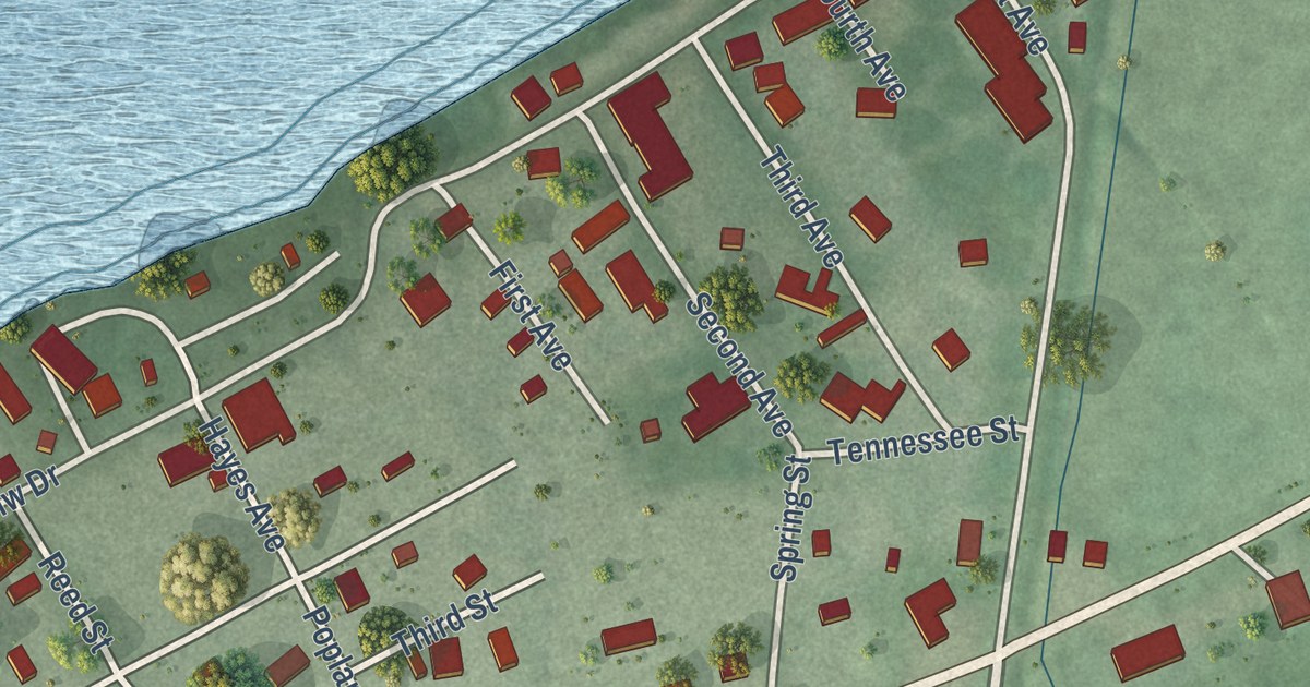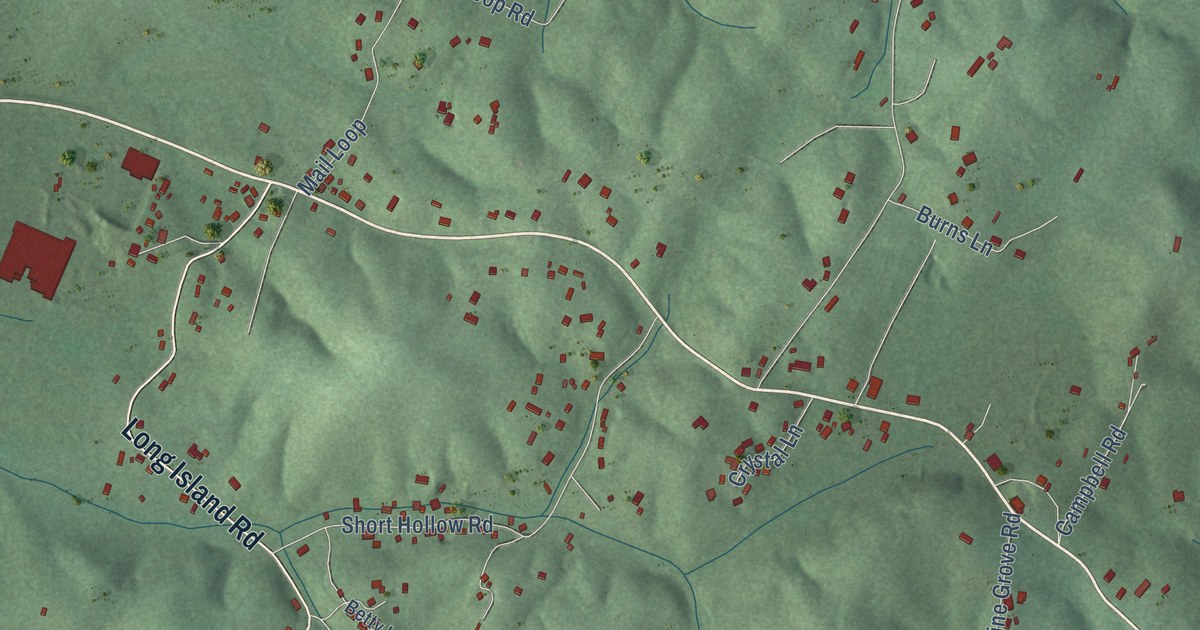
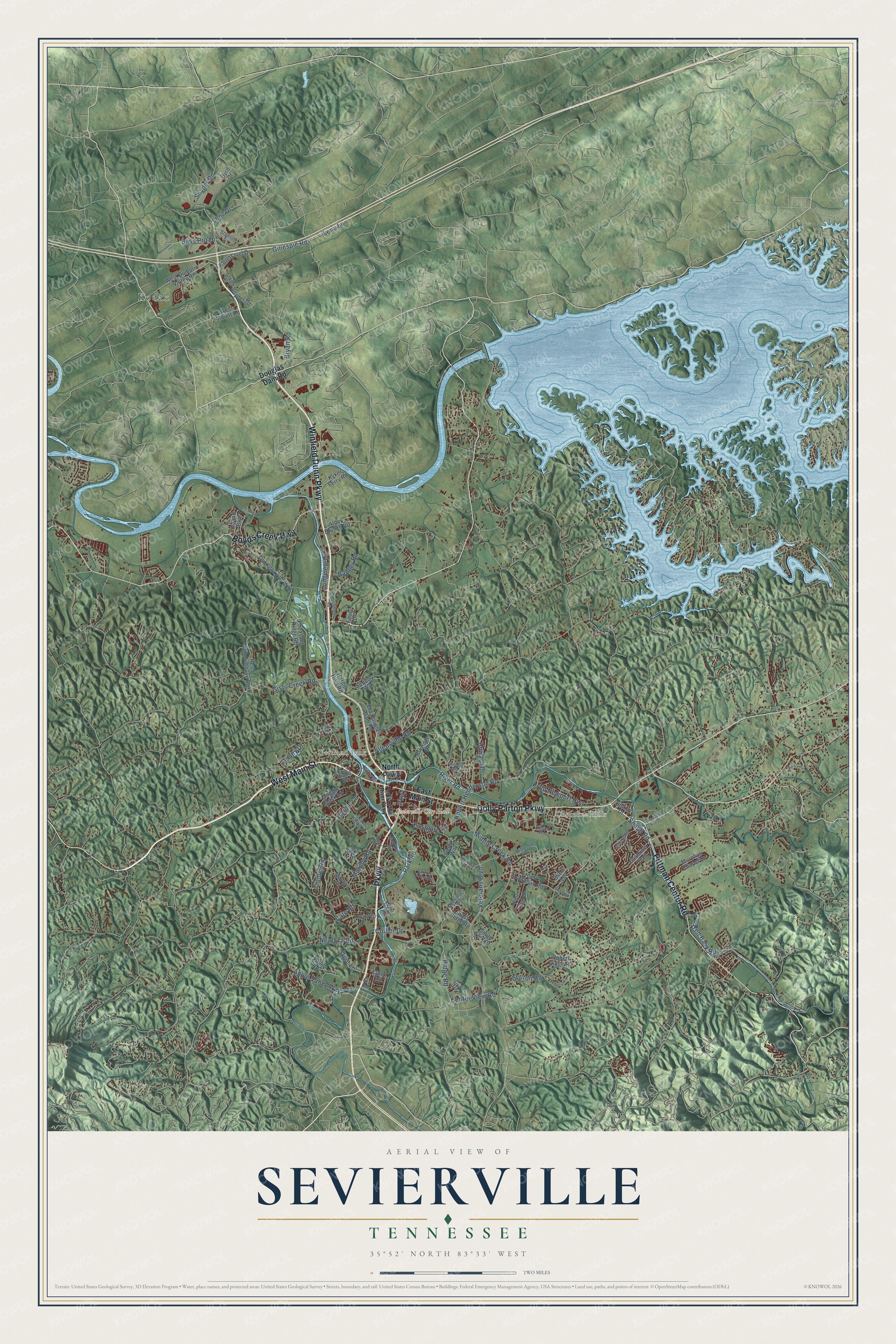
This beautifully detailed map of Sevierville, Tennessee was created in 2026 using aerial imagery combined with modern topographical, census, street and landmark data. It’s a one-of-a-kind view of Sevierville that combines accurate data with a vintage aesthetic. The map shows every building in its true location, many of the roads carry their names, and the shaded topographic relief shows the shape of the land.
Explore an aerial view of Sevierville, Tennessee
On the map you’ll find Sevierville City Hall, Catlettsburg, Cherokee Hills, Kodak, Mount Zion, and Yettland Park, along with Winfield Dunn Parkway, West Main Street, Dolly Parton Parkway, Parkway, Boyds Creek Highway, Pittman Center Road, and more. If you look closely you can even find your house accurately drawn in its correct location. Zoom in on the preview to look for yours.
Did you know this piece of Sevierville, Tennessee history?
From Tennesseeencyclopedia.net: "Sevierville, originally the Forks of Little Pigeon community settled by the Isaac Thomas, Spencer Clack, and James McMahon families in the 1780s, became the county seat in 1795."
Take a closer look at the Sevierville map
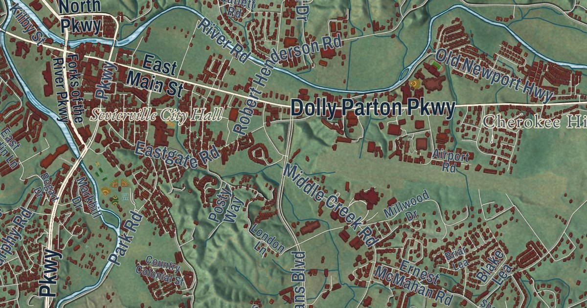
Street and place names on the Sevierville, Tennessee map
These names are printed on the map of Sevierville, Tennessee.
Places: Sevierville City Hall, Kodak, Cherokee Hills and Yettland Park.
Streets and roads: Parkway, West Main Street, Dolly Parton Parkway, Winfield Dunn Parkway, Boyds Creek Highway, Pittman Center Road, Old Newport Highway, Hardin Lane, New Era Road, Collier Drive, Veterans Boulevard, Middle Creek Road.
More street names, A to Z
Airport Road, Alder Branch Road, Allensville Road, Apple Valley Way, Badger Road, Bass Pro Drive, Blake Lea, Bogart Drive, Briar Lea, Bryan Road, Burridge Drive, Byrd Drive, Cate Road, Catlett Road, Catlettsburg Road, Caton Road, Center View Road, Cody Drive, Country Colonial Street, Denton Road, Dickey Drive, Douglas Dam Road, Eastgate Road, East Hardin Lane, East Main Street, East Ridge Road, Ella Drive, Emily Drive, Ernest McMahan Road, Fine Glen Drive, Foretravel Drive, Forks of the River Parkway, Fox Road, Gillespie Road, Gists Creek Road, Hardin Hills Road, Hazel Drive, Hicks Drive, Howard Drive, Island Boulevard, Jasmine Trail, Jersey Drive, Kilby Street, Kyker Ferry Road, Lena Lane, Lenz Drive, London Lane, Longview Drive, Lynn Drive, Maggie Mack Lane, Markhill Drive, Mayors Drive, Mechanics Way, Millwood Drive, Murphy Road, Murphys Chapel Drive, North Parkway, Ogle Lane, Old Douglas Dam Road, Old Knoxville Highway, Old State Route 35, Park Road, Pheasant Ridge Road, Posty Way, Red Bank Road, Reed Schoolhouse Road, Ridge Road, Rivergate Drive, River Road, Robert Henderson Road, Robert Ridge Road, Sequoya Way, Shannon Circle, Snapp Road, Snyder Road, South Fork Drive, South Snyder Road, Stadium Drive, Sugarland Lane, Tramel Road, Valley Road, Webb Lane Way, West Dumplin Valley Road, West Mount Road.
See the Sevierville, Tennessee map on a wall
The Sevierville map as an 18 x 24 inch print in a black frame.

This beautifully detailed map of Sevierville makes an attractive addition to your office, library, or den, and it can even be used to teach children the geography and history of the area. It also makes a great gift for anyone who grew up in Sevierville or moved away. When you’re done exploring, click here to get your copy of the Sevierville map.