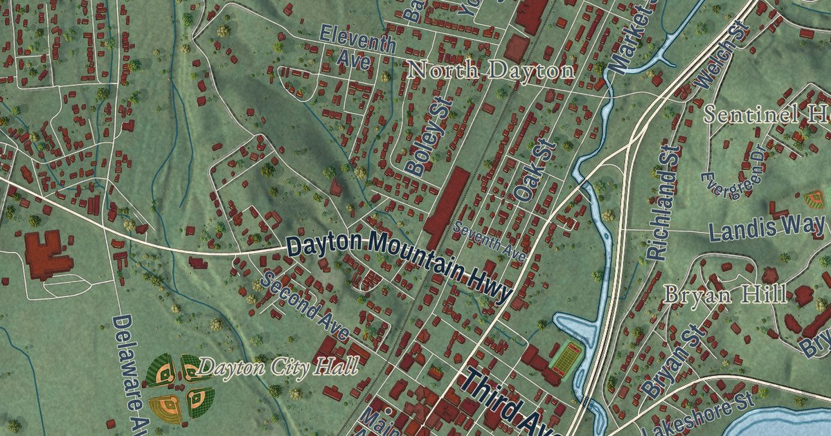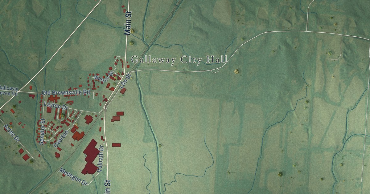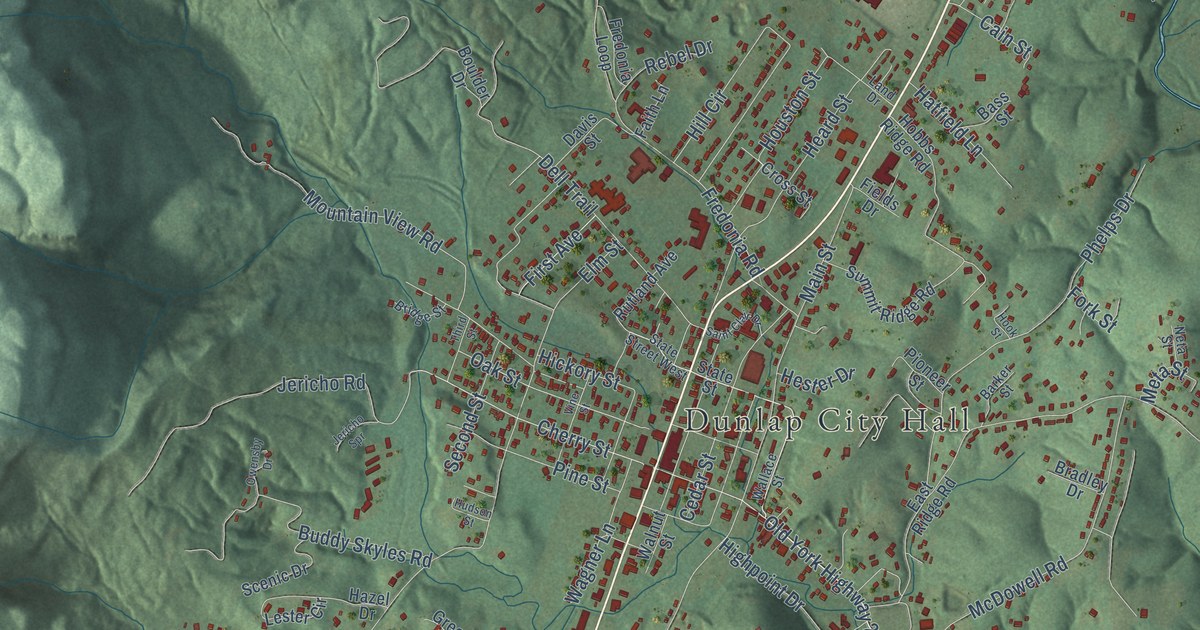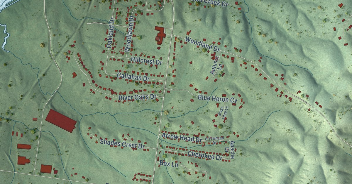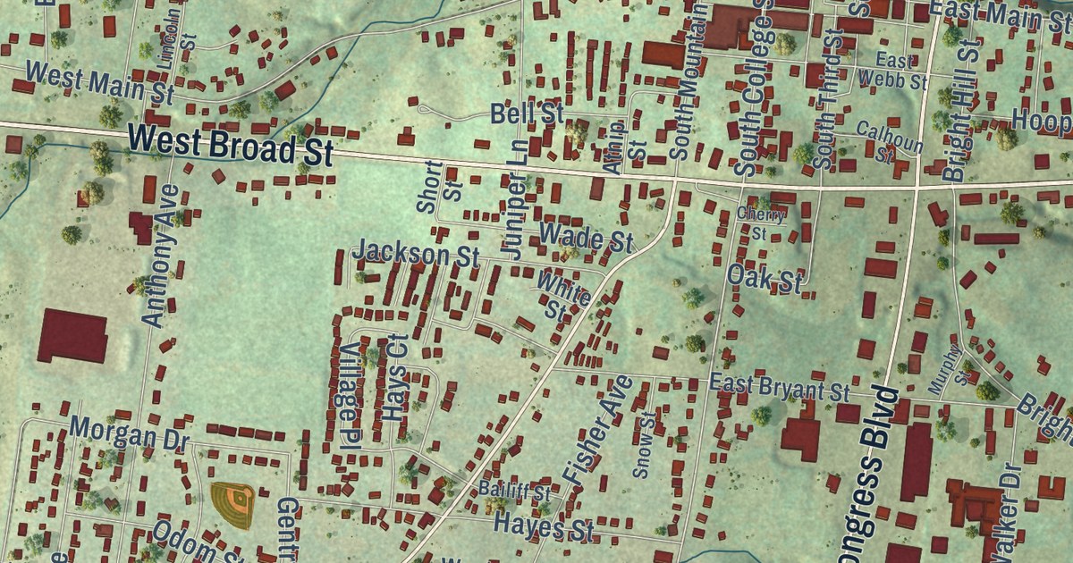
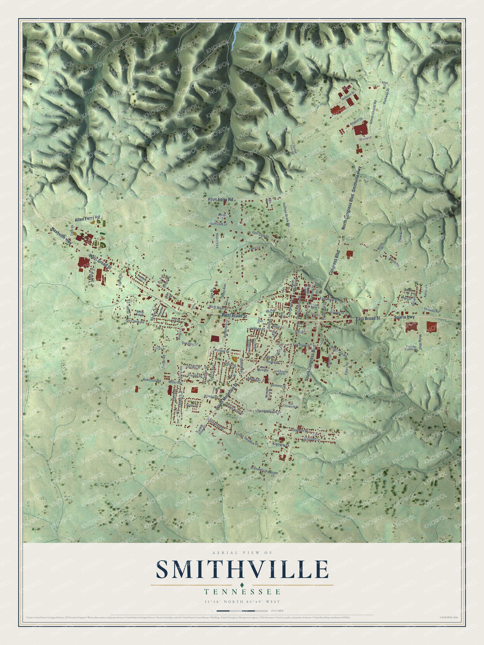
This beautifully detailed map of Smithville, Tennessee was created in 2026 using aerial imagery combined with modern topographical, census, street and landmark data. It’s a one-of-a-kind view of Smithville that combines accurate data with a vintage aesthetic. The map shows every building in its true location, many of the roads carry their names, and the shaded topographic relief shows the shape of the land.
Explore an aerial view of Smithville, Tennessee
On the map you’ll find West Broad Street, Sparta Highway, Nashville Highway, Congress Boulevard, North Congress Boulevard, South Congress Boulevard, East Broad Street, Allen Ferry Road, South Mountain Street, Smithville Highway, Smith Road, Second Street, and more. If you look closely you can even find your house accurately drawn in its correct location. Zoom in on the preview to look for yours.
Did you know this piece of Smithville, Tennessee history?
From the Tennessee Encyclopedia: "The county seat was located on fifty acres donated by Bernard Richardson and named Smithville by the general assembly in honor of Samuel Granville Smith of Jackson County, a state senator and Tennessee's secretary of state. Smithville's population in 1998 was 4,229."
Take a closer look at the Smithville map
Street names on the Smithville, Tennessee map
These names are printed on the map of Smithville, Tennessee.
Streets and roads: West Broad Street, Sparta Highway, Nashville Highway, Congress Boulevard, North Congress Boulevard, South Congress Boulevard, East Broad Street, Allen Ferry Road, South Mountain Street, Smithville Highway, Smith Road, Second Street.
More street names, A to Z
Adams Street, Aerial Lane, Airport Drive, Allens Chapel Road, Allen Street, Anthony Avenue, Armory Street, Atnip Street, Bailiff Street, Bell Street, Braswell Lane, Bright Hill Road, Bright Hill Street, Brown Street, Calhoun Street, Carter Street, Charity Lane, Cherry Street, Cill Street, Cooper Avenue, Cooper Street, Cordell Love Road, Dearman Street, Doe Lane, Driver Street, Dry Creek Road, Earl Avenue, East Bryant Street, East Main Street, East Webb Street, Ed Taft Drive, Elm Street, Ervin Avenue, Estes Road, Estes Street, Fairlane Circle, First Street, Fisher Avenue, Forrest Avenue, Foster Road, Frazier Street, Gentry Avenue, Georgia Lane, Ginger Drive, Golf Club Drive, Golf Club Lane, Green Acres Drive, Greenbrook Park Drive, Green Meadow Drive, Greenwood Drive, Grizzly Lane, Hayes Street, Hays Court, Hickory Lane, Hobert Street, Hobson Street, Holmes Creek Road, Hooper Street, Jackson Street, Jacobs Pillar Road, Jennings Lane, Joe Tittsworth Street, Juniper Lane, Kendra Drive, Kimberly Lane, Lefevre Street, Lincoln Street, Lou Street, Love Lane, Luttrell Avenue, Maple Lane, Martin Street, Meadowbrook Drive, Midway Road, Miller Road, Moog Boulevard, Morgan Drive, Murphy Street, North Fourth Street, North Mountain Street, O'Conner Street, Oakglen Drive, Oak Street, Odom Street, Pack Circle, Parkway Drive, Poss Street, Riley Avenue, Robinson Road, Shady Lane, Shaw Street, Short Street, Snow Street, South College Street, South Third Street, Spring Breeze Drive, Stone Street, Summer Street, Tiger Drive, Trammel Lane, Transfer Station Road, Vaughn Lane, Village Place, Wade Street, Walker Drive, West Main Street, West Spring Street, Whaley Street, White Oak Drive, White Street, Wilson Street.
See the Smithville, Tennessee map on a wall
The Smithville map as an 18 x 24 inch print in a black frame.

This beautifully detailed map of Smithville makes an attractive addition to your office, library, or den, and it can even be used to teach children the geography and history of the area. It also makes a great gift for someone who left Smithville and still calls it home. When you’re done exploring, click here to get your copy of the Smithville map.