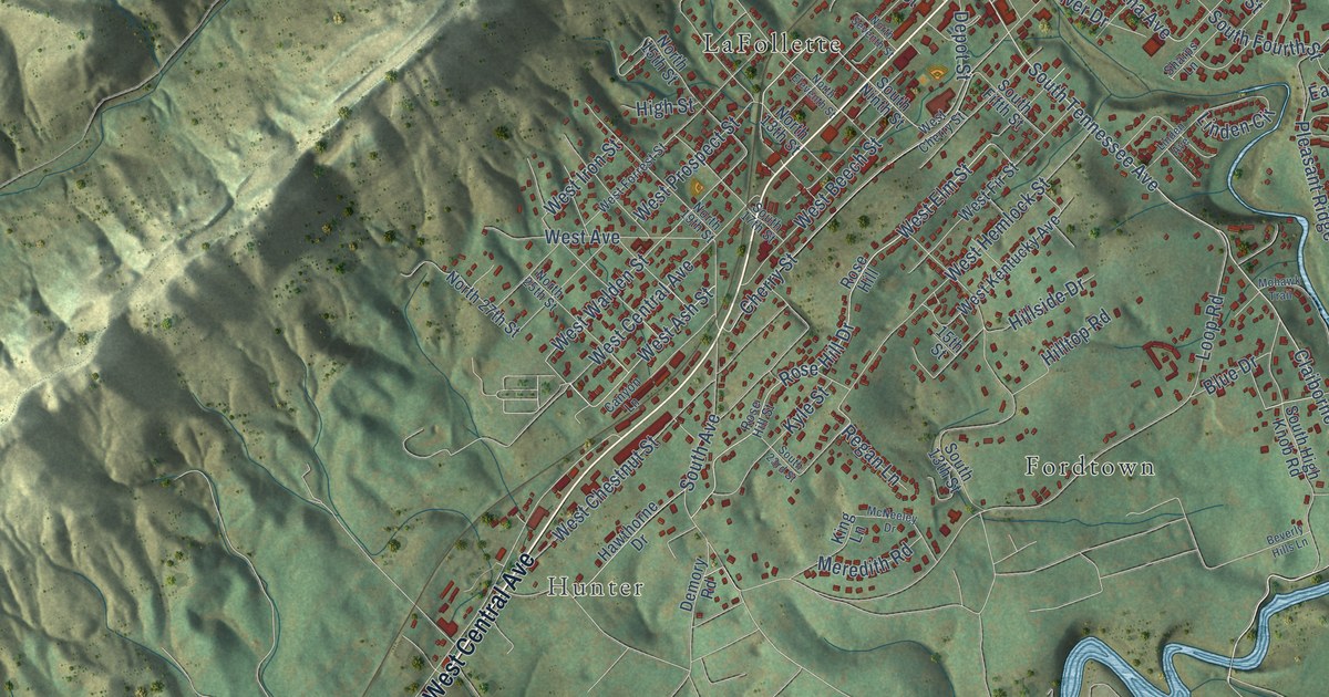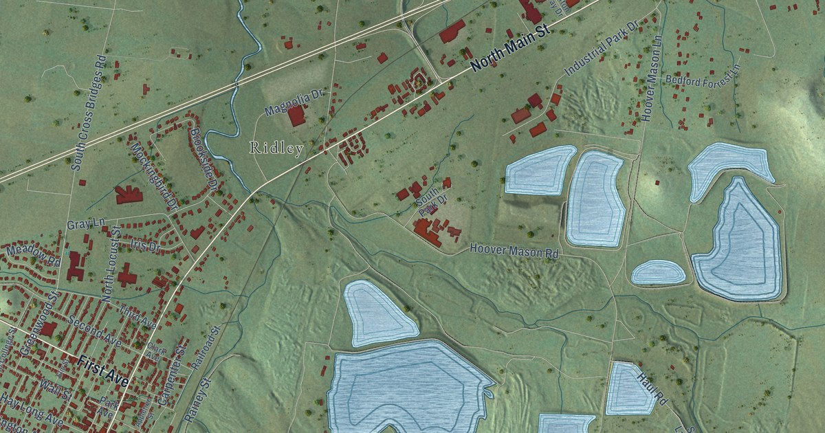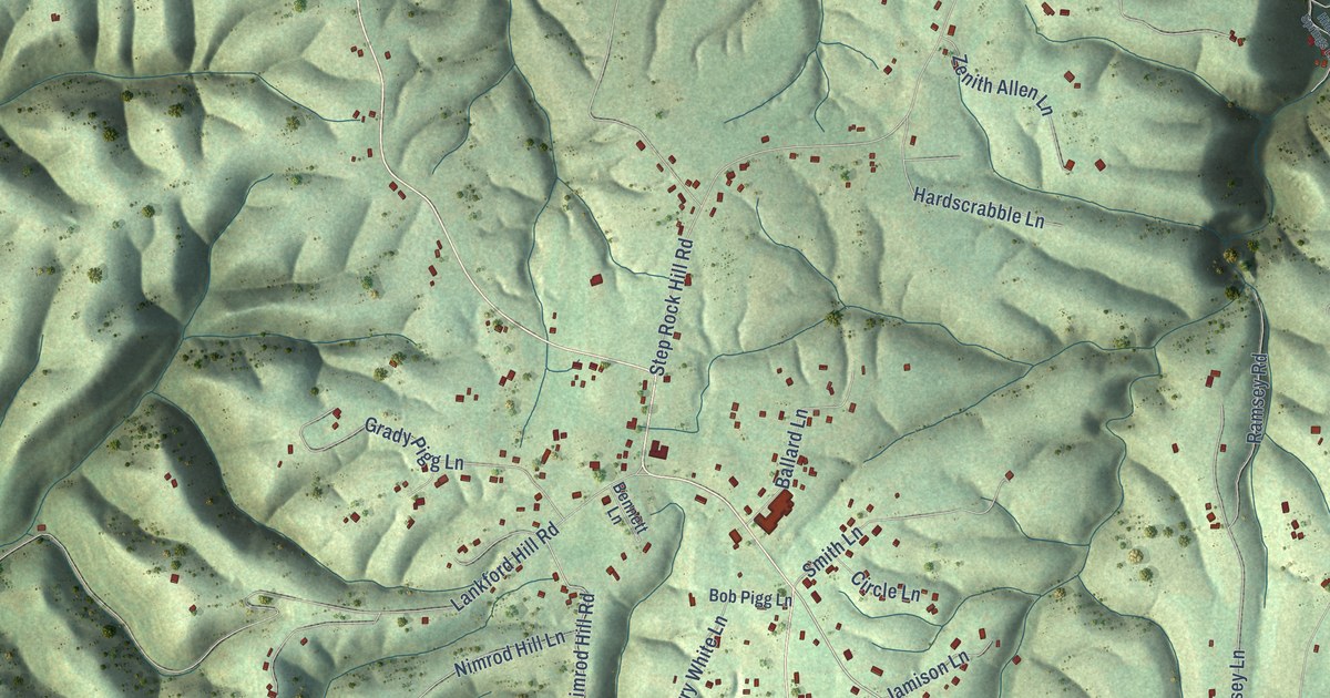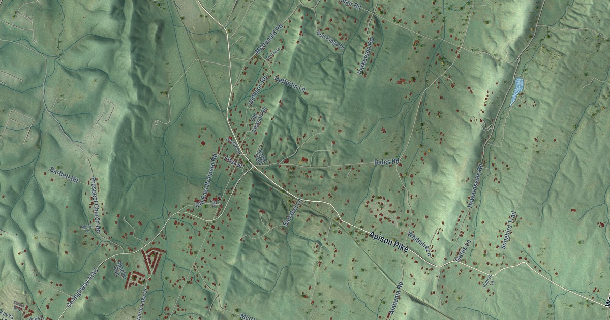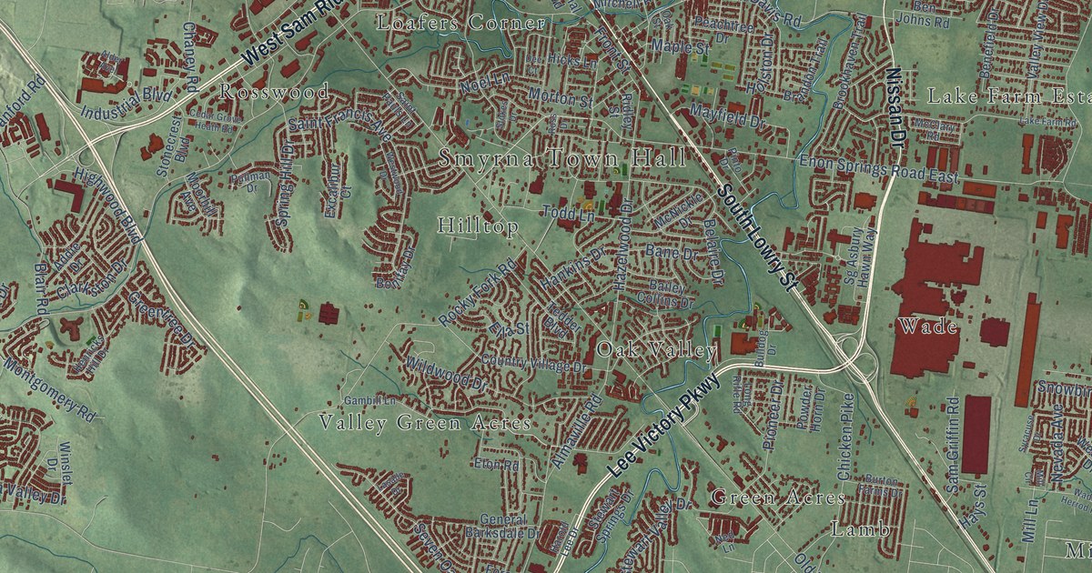
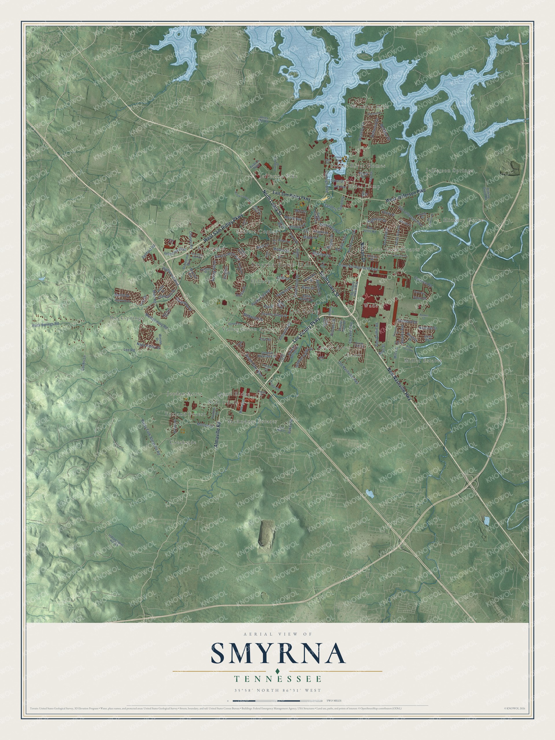
This beautifully detailed map of Smyrna, Tennessee was created in 2026 using aerial imagery combined with modern topographical, census, street and landmark data. It's a modern aerial view of Smyrna in Rutherford County, Tennessee, that combines modern data with a vintage aesthetic. The roads feature printed names, and if you look closely you can find your exact house accurately shown in its correct location.
Explore an aerial view of Smyrna, Tennessee
On this map you'll find Smyrna Town Hall, Creekside, Foxland Forest, Green Acres, Hales Camp, Hickory Grove, Hilltop, Jefferson Pike, Jefferson Springs, Jordan Acres, Lake Farm Estates, Lamb, and more. Each red shape is a building, so zoom in on the preview and look for yours.
Here is a piece of Smyrna history, in the words of the record. The Internet Archive puts it this way: "ro, near the Nashville Pike on Stewart Creek, was formerly a place of
some little business, but since the completing of the railroad the business has been trans-
ferred to Smyrna."
Smyrna is a town in Rutherford County. The Census Bureau counted 53,070 people here in 2020.
Take a closer look at the Smyrna map
Names on this map
These names are printed on this map.
Places: Smyrna Town Hall, Creekside, Foxland Forest, Green Acres, Hales Camp, Hickory Grove, Hilltop, Jefferson Pike, Jefferson Springs, Jordan Acres, Lake Farm Estates, Lamb, Loafers Corner, McAndore Estates, Miller Estates, Neal Circle, Oak Valley, Quail Ridge, Rocksprings, Rosswood, Stones River Homes, Valley Green Acres, Wade, Weakley Hills and Sanders Cemetery.
Streets and roads: Lee Victory Parkway, West Sam Ridley Parkway, Nissan Drive, South Lowry Street, Almaville Road, West Jefferson Pike, North Lowry Street, New Nashville Highway, Industrial Boulevard, Rock Springs Road, Old Nashville Highway, Florence Road.
More street names, A to Z
14th Avenue, Addie Drive, Alder Avenue, Arnold Drive, Aviation Parkway, Bailey Collins Drive, Baker Road, Bane Drive, Belaire Drive, Benefield Drive, Ben Johns Road, Blair Road, Bonifay Drive, Brandon Trail, Brookhaven Trail, Bulldog Drive, Burton Farms Drive, Cedar Grove Heath Road, Chaney Road, Chicken Pike, Clarkston Drive, Cooks Lane, Country Village Drive, Courier Place, Dave Way, Dee Court, Dellwood Drive, East Sam Ridley Parkway, Eighth Avenue, Ella Street, Ellen Drive, Enon Springs Road East, Espy Drive, Eton Road, Excalibur Court, Fitzhugh Boulevard, Forest Court, Front Street, Gambill Lane, General Barksdale Drive, Gils Street, Greentree Drive, Hankins Drive, Harold Lee Drive, Hays Street, Hazelwood Drive, Henricks Hill Drive, Hickory Grove Road, Hicks Lane, Highpoint Drive, Highwood Boulevard, Holston Drive, Hunters Lane, Imperial Boulevard, Independent Hill Road, Inglenook Drive, Iona Drive, Jericho Street, Jones Mill Road, Lake Farm Road, Lasalle Drive, Lee Road, Liberty Drive, Long Rifle Road, Maple Street, Mary Street, Mason Tucker Drive, Mayfield Drive, McClary Road, McKean Drive, McNickle Drive, Merlot Drive, Midway Lane, Mill Circle, Mill Lane, Mitchell Avenue, Montgomery Road, Moore Avenue, Moorhill Avenue, Morton Lane, Morton Street, Motlow College Boulevard, Napa Valley Drive, Nautical Street, Ned Lane, Nevada Avenue, Noel Lane, Oak Street, Odom Court, Old Jefferson Pike, Old Jefferson Road, One Mile Lane, Peachtree Drive, Pinto Drive, Pioneer Drive, Powder Horn Drive, Pullman Drive, Ridley Street, Robertson Drive, Rocky Fork Almaville Road, Rocky Fork Road, Rooker Lane, Ross Drive, Saint Francis Avenue, Saint Pauls Lane, Sam Davis Road, Sam Griffin Road, Sanford Road, Seven Oaks Boulevard, Seventh Avenue, Sg Asbury Hawn Way, Snowbird Drive, Spring Hill Drive, Steen Boulevard, Stewart Springs Drive, Stewart Valley Drive, Stokes Drive, Stonecrest Boulevard, Sugar Creek Lane, Swan Drive, Syracuse Drive, Tedder Boulevard, Thunderbird Drive, Todd Lane, Tridon Drive, Valley View Drive, Wade Herrod Road, Weakley Lane, Westfork Drive, Westwood Drive, Whitney Drive, Wildwood Drive, Winslet Drive, Young Drive.
Created by KNOWOL in 2026. The buildings are small red shapes, the roads carry their printed names, and shaded relief shows the shape of the land. The title panel reads "AERIAL VIEW OF SMYRNA TENNESSEE" with 35°58' NORTH 86°31' WEST.
It suits a den, a classroom or a front hall, and it makes a gift for anyone with Smyrna roots. Open the preview and find the block you know. See sizes and frames for the Smyrna map.