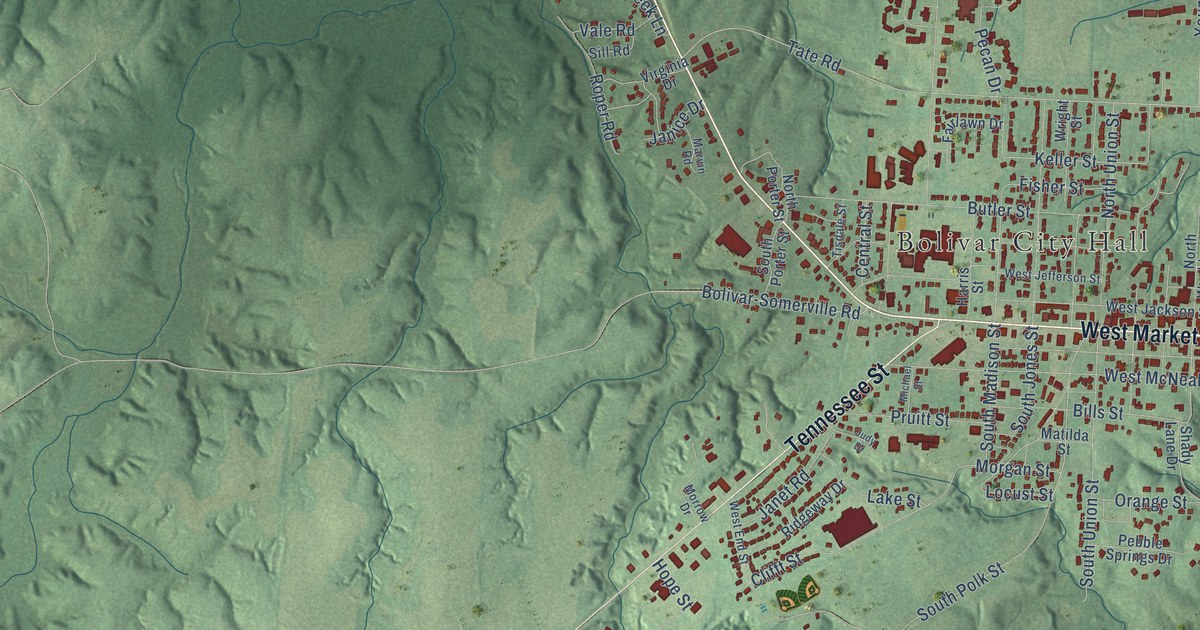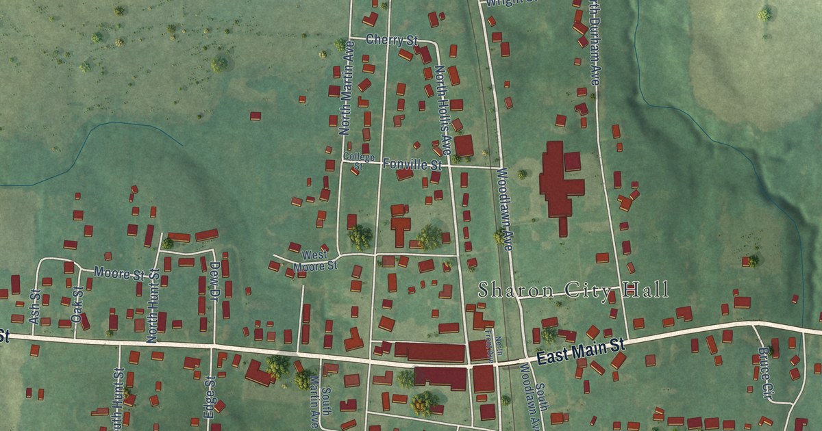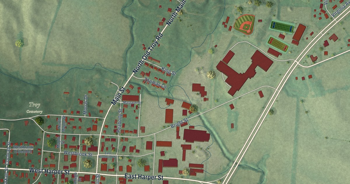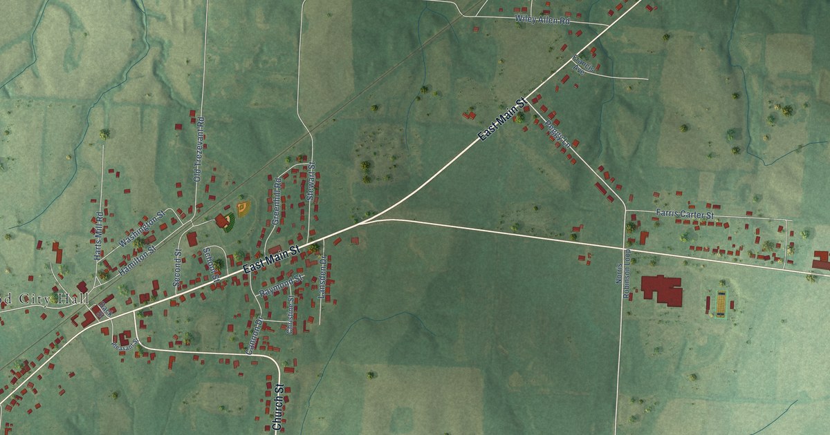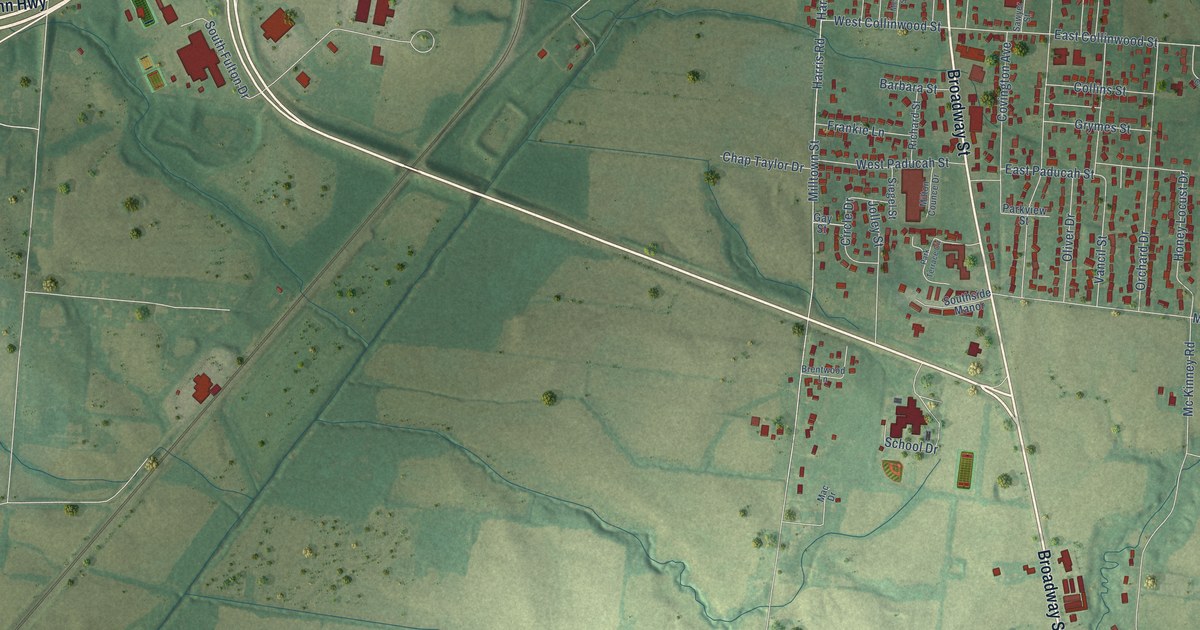
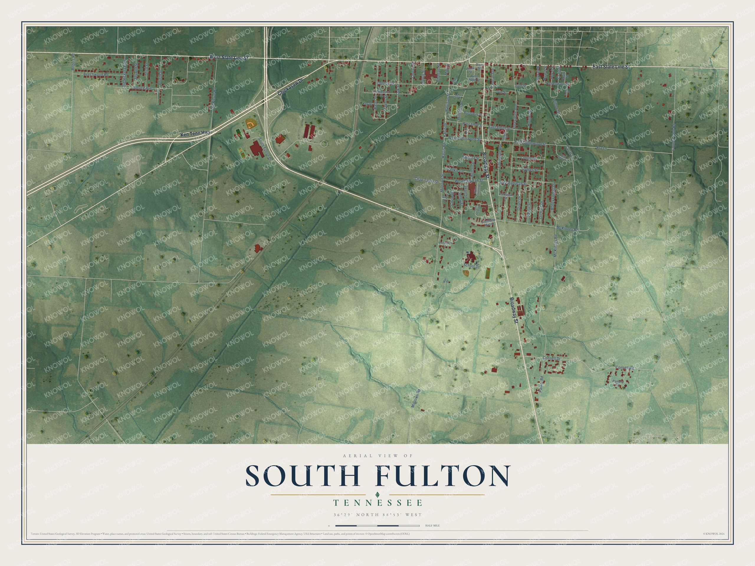
This beautifully detailed map of South Fulton, Tennessee was created in 2026 using aerial imagery combined with modern topographical, census, street and landmark data. It's a modern aerial view of South Fulton in Obion County, Tennessee, that combines modern data with a vintage aesthetic. The roads feature printed names, and if you look closely you can find your exact house accurately shown in its correct location.
Explore an aerial view of South Fulton, Tennessee
On this map you'll find West State Line Street, Chickasaw Drive, East State Line Street, Broadway Street, Ken Tenn Highway, Taylor Street, West Collinwood Street, East Collinwood Street, Harris Road, Church Street, Oak Street, Harris Drive, and more. Each red shape is a building, so zoom in on the preview and look for yours.
Here is a piece of South Fulton history, in the words of the record. The City of South Fulton puts it this way: "In 1859, the South Fulton area was named as Jacksonville, due to the fact that land in the area once belonged to the seventh President of the United States, Andrew Jackson."
South Fulton is a city in Obion County. The Census Bureau counted 2,245 people here in 2020.
Take a closer look at the South Fulton map
Names on this map
These names are printed on this map.
Streets and roads: West State Line Street, Chickasaw Drive, East State Line Street, Broadway Street, Ken Tenn Highway, Taylor Street, West Collinwood Street, East Collinwood Street, Harris Road, Church Street, Oak Street, Harris Drive.
More street names, A to Z
Barbara Street, Bates Street, Beechwood Road, Brentwood Lane, Cavitt Lane, Cavitt Street, Central Avenue, Chap Taylor Drive, Circle Drive, College Street, Collins Street, Connell Drive, Connell Road, Country Club Road, Covington Avenue, Craig Street, Dice Street, East Paducah Street, East Smith Street, Forestdale Avenue, Fourth Street, Frankie Lane, Fry Lane, Gay Street, Gin Street, Graham Street, Grymes Street, Harrison Street, Haven Street, Holmes Street, Honey Locust Drive, Iron Street, Jolley Street, Key Street, Mac Drive, McCall Street, McFall Street, McKinney Road, Mc Kinney Road, Milltown Road, Milltown Street, Milton Counce Drive, Morris Street, Mott Street, Old Hickory Boulevard, Old Pierce Road, Oliver Drive, Orchard Drive, Pamela Circle, Parker Road, Park Terrace Circle, Parkview Street, Red Devil Road, Richard Street, Roach Street, Rogers Road, Rosenwald Street, Sawyer Street, School Drive, Second Street, Siegel Street, South Fulton Drive, Southside Manor, Spruce Avenue, Stovall Street, Tennessee Street, Third Street, Thomas Road, Vancil Street, Wade Street, West Paducah Street, West Smith Street, West Wade Street, Wild Cherry Lane, Williams Street, Willow Drive.
Created by KNOWOL in 2026. The buildings are small red shapes, the roads carry their printed names, and shaded relief shows the shape of the land. The title panel reads "AERIAL VIEW OF SOUTH FULTON TENNESSEE" with 36°29' NORTH 88°53' WEST.
It suits a den, a classroom or a front hall, and it makes a gift for anyone with South Fulton roots. Open the preview and find the block you know. See sizes and frames for the South Fulton map.