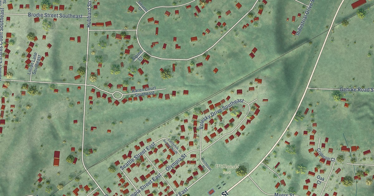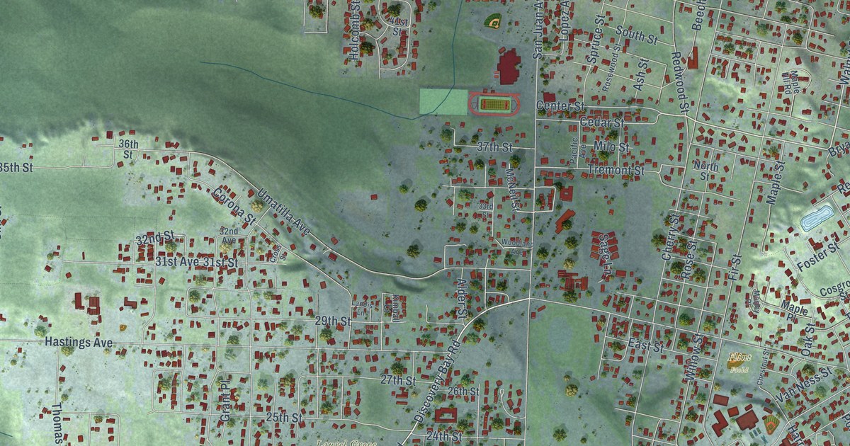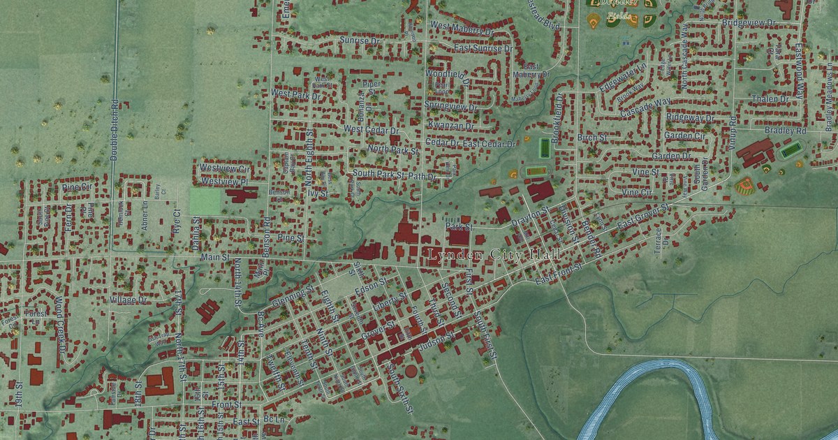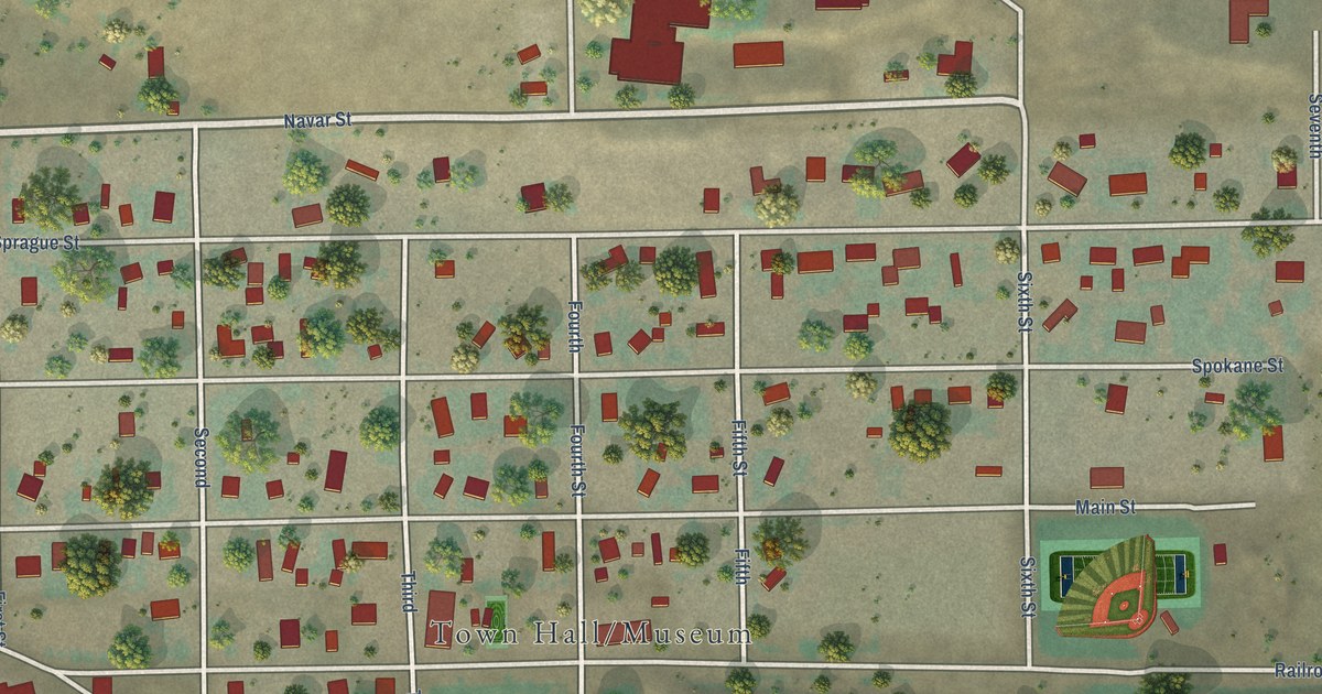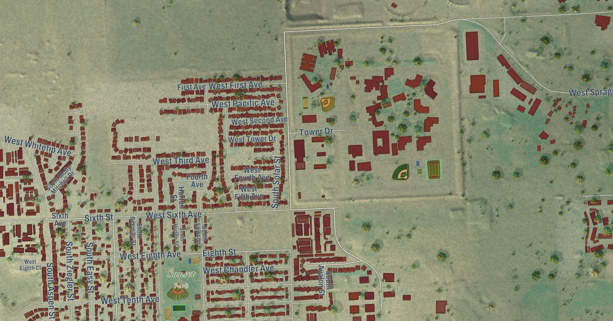
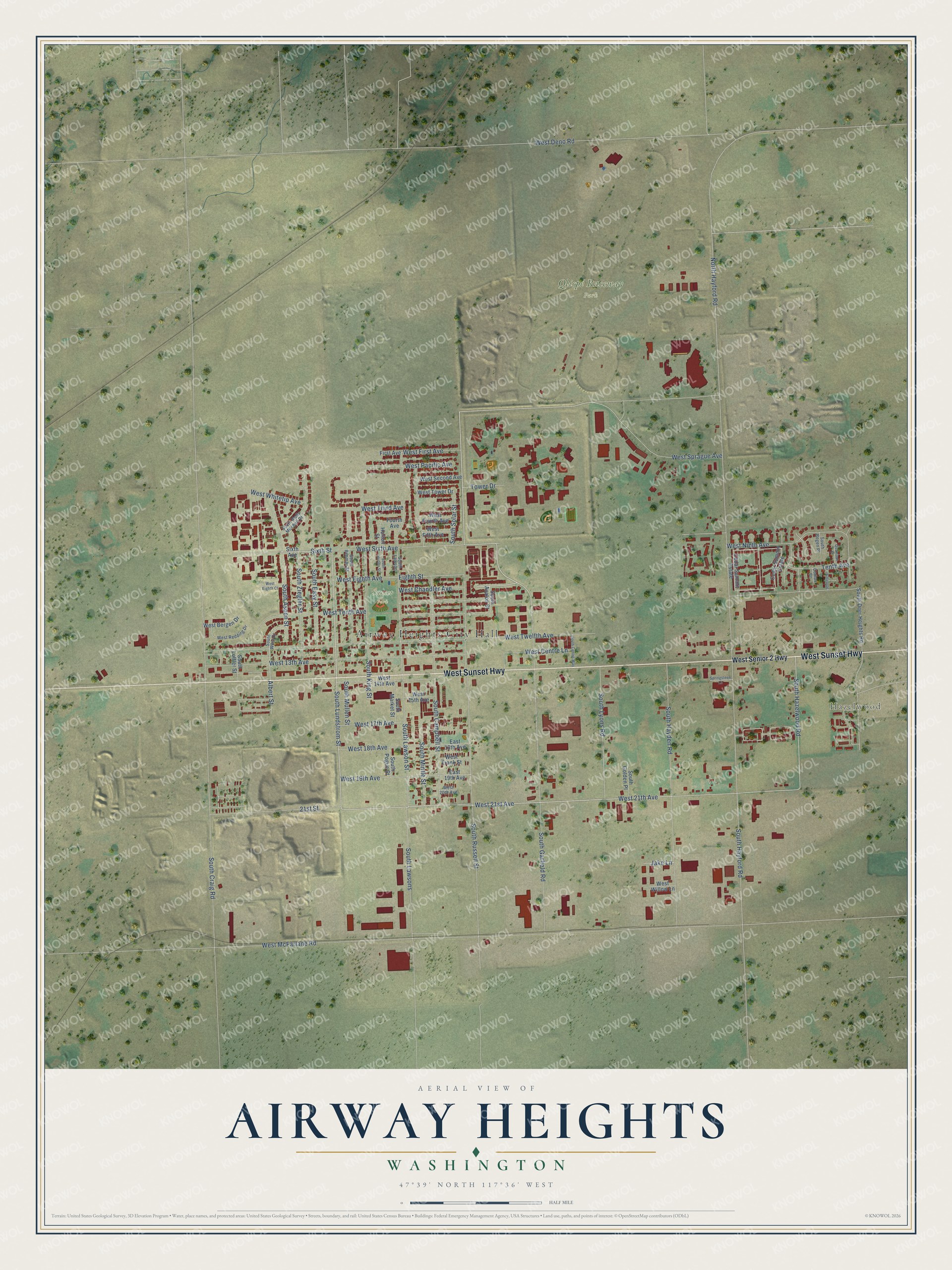
This beautifully detailed map of Airway Heights, Washington was created in 2026 using aerial imagery combined with modern topographical, census, street and landmark data. It's a modern aerial view of Airway Heights in Spokane County, Washington, that combines modern data with a vintage aesthetic. The roads feature printed names, and if you look closely you can find your exact house accurately shown in its correct location.
Explore an aerial view of Airway Heights, Washington
On this map you'll find Airway Heights City Hall, Hazelwood, Qlispé Raceway Park, Sunset Park, West Sunset Highway, West 21st Avenue, South Garfield Road, South Lundstrom Street, Sixth Street, West Chandler Avenue, South Russell Street, West 21th Avenue, and more. Each red shape is a building, so zoom in on the preview and look for yours.
Here is a piece of Airway Heights history, in the words of the record. The City of Airway Heights puts it this way: "Airway Heights celebrated its 50-year history June 14, 2005 and has Carl M. and Flora K. Lundstrom to thank for early city-building. The Lundstroms were the first to plat the land, donate parcels for initial city building and worked towards incorporation in 1955."
Airway Heights is a city in Spokane County. The Census Bureau counted 10,757 people here in 2020.
Take a closer look at the Airway Heights map
Names on this map
These names are printed on this map.
Places: Airway Heights City Hall, Hazelwood, Qlispé Raceway Park and Sunset Park.
Streets and roads: West Sunset Highway, West 21st Avenue, South Garfield Road, South Lundstrom Street, Sixth Street, West Chandler Avenue, South Russell Street, West 21th Avenue, West Sprague Avenue, Eighth Street, West Tenth Avenue, South Hazelwood Road.
More street names, A to Z
21st Street, Albert Street, Antelope, Cedar Summir Estate, Cedar Summit Estate, Comax Court, East 18th Avenue, East 19th Avenue, First Avenue, Fourth Avenue, Horton Street, Jake Lane, North Hayford Road, Quamash Court, Sixth Avenue, South Aspen Street, South Avalon Street, South Beeman Street, South Bogen Place, South Campbell Street, South Centre Way, South Craig Road, South Deer Heights Road, South Easy Street, South Golden Place, South Hayden Road, South Hayford Road, South Horton Street, South King Street, South Lawson, South Lawsons, South Lawson Street, South Loffler Street, South Lyons Road, South Market Street, South Mintle Street, South Molly Mitchell Drive, South Mullen Street, South Pogue Street, South Solar Street, South West Drive, South Ziegler Street, Springsteen Lane, Tenth Avenue, Tower Drive, West 13th Avenue, West 14th Avenue, West 15th Avenue, West 17th Avenue, West 18th Avenue, West 19th Avenue, West 20th Avenue, West Bergen Drive, West Centre Lane, West Deno Road, West Eighth Avenue, West Eighth Court, West Fifth Avenue, West First Avenue, West Fourth Avenue, West Frank Street, West McFarlane Road, West Ninth Avenue, West Pacific Avenue, West Redding Drive, West Second Avenue, West Senior 2 Highway, West Sixth Avenue, West Third Avenue, West Tower Drive, West Twelfth Avenue, West Whitetip Avenue, West Willow Lane.
Created by KNOWOL in 2026. The buildings are small red shapes, the roads carry their printed names, and shaded relief shows the shape of the land. The title panel reads "AERIAL VIEW OF AIRWAY HEIGHTS WASHINGTON" with 47°39' NORTH 117°36' WEST.
It suits a den, a classroom or a front hall, and it makes a gift for anyone with Airway Heights roots. Open the preview and find the block you know. See sizes and frames for the Airway Heights map.