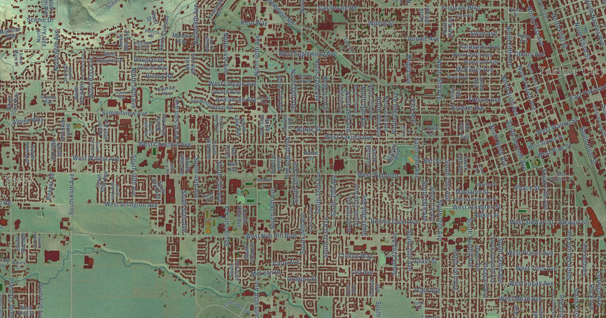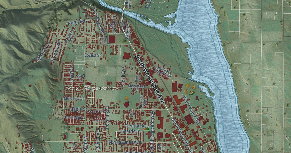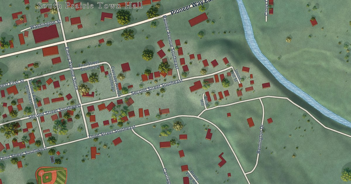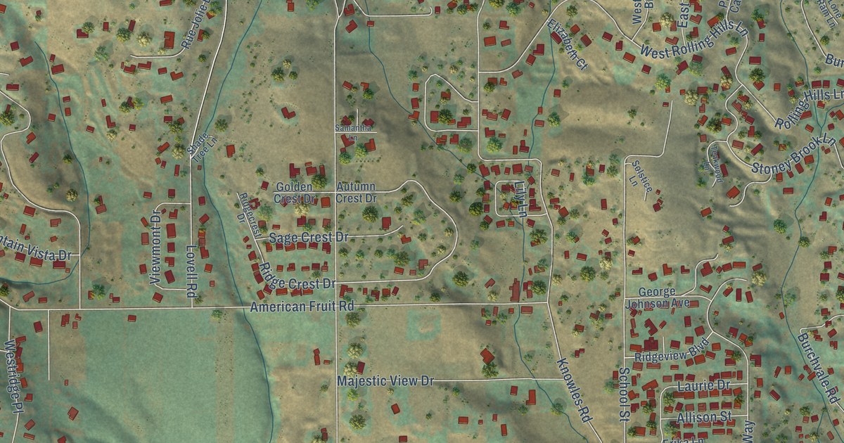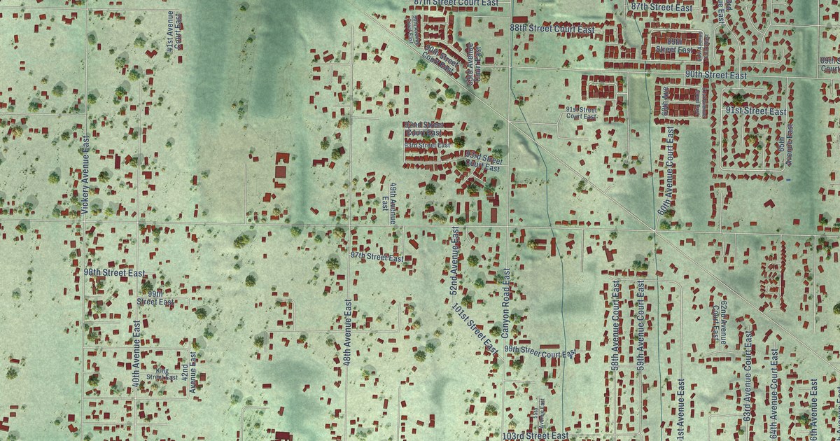
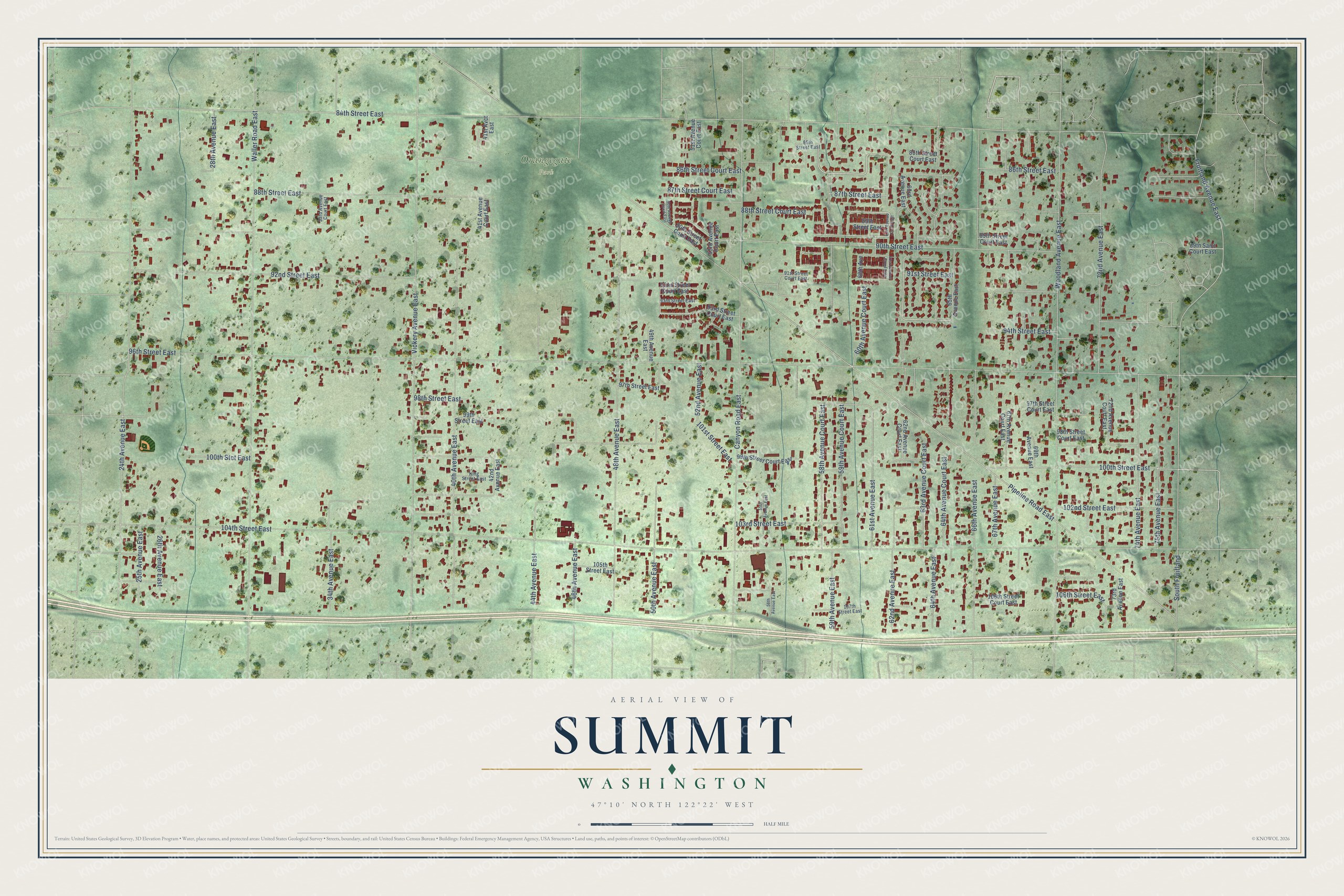
This beautifully detailed map of Summit, Washington was created in 2026 using aerial imagery combined with modern topographical, census, street and landmark data. It's a modern aerial view of Summit in Pierce County, Washington, that combines modern data with a vintage aesthetic. The roads feature printed names, and if you look closely you can find your exact house accurately shown in its correct location.
Explore an aerial view of Summit, Washington
On this map you'll find Orangegate Park, 86th Street East, 88th Street Court East, 96th Street East, 94th Street East, 50th Avenue East, 62nd Avenue East, 84th Street East, 104th Street East, Pipeline Road East, Canyon Road East, Waller Road East, and more. Each red shape is a building, so zoom in on the preview and look for yours.
Every town has a first chapter, and Summit is no exception. The book Signposts and Settlers puts it this way: "Summit, Pierce County, was named because that is just what it was: the high point on the tracks of the Tacoma-Puyallup electric railway of the late 19th century."
Summit is a community in Pierce County. The Census Bureau counted 8,270 people here in 2020.
Take a closer look at the Summit map
Names on this map
These names are printed on this map.
Places: Orangegate Park.
Streets and roads: 86th Street East, 88th Street Court East, 96th Street East, 94th Street East, 50th Avenue East, 62nd Avenue East, 84th Street East, 104th Street East, Pipeline Road East, Canyon Road East, Waller Road East, Woodland Avenue East.
More street names, A to Z
24th Avenue East, 25th Avenue East, 26th Avenue East, 28th Avenue East, 33rd Avenue Court East, 34th Avenue East, 40th Avenue East, 41st Avct East, 41st Avenue Court East, 42nd Avenue East, 44th Avenue East, 46th Avenue East, 48th Avenue East, 49th Avenue East, 50th Avenue Court East, 51st Avenue Court East, 52nd Avenue East, 53rd Avenue Court East, 55th Avenue East, 56th Avenue East, 58th Avenue Court East, 59th Avenue Court East, 59th Avenue East, 60th Avenue, 60th Avenue Court East, 61st Avenue Court East, 61st Avenue East, 62nd Avenue Court East, 63rd Avenue Court East, 63rd Avenue East, 64th Avenue Court East, 64th Avenue East, 65th Avenue East, 66th Avenue East, 67th Avenue Court East, 67th Avenue East, 69th Avenue East, 72nd Avenue Court East, 72nd Avenue East, 73rd Avenue East, 74th Avenue East, 75th Avenue East, 85th Street Court East, 85th Street East, 86th Street Court East, 87th Street Court East, 87th Street East, 88th Street East, 89th Saint Court East, 89th Street Court East, 89th Street East, 90th Street Court East, 90th Street East, 91st Street Court East, 91st Street East, 92nd Street Court East, 92nd Street East, 93rd Street Court East, 93rd Street East, 97th Street Court East, 97th Street East, 98th Street Court East, 98th Street East, 99th Street Court East, 99th Street East, 100th Stct East, 100th Street East, 101st Street East, 102nd Street East, 103rd Street East, 105th Street East, 106th Street Court East, 106th Street East, 107th Street East, Fruitland Avenue East, King Street East, South Fruitland, Vickery Avenue East.
See it on a wall
The Summit map as a framed print. Swipe for more.


Created by KNOWOL in 2026. The buildings are small red shapes, the roads carry their printed names, and shaded relief shows the shape of the land. The title panel reads "AERIAL VIEW OF SUMMIT, WASHINGTON" with 47°10' NORTH 122°22' WEST.
Hang it in the hallway, the office or the cabin, or give it to someone who left Summit and still calls it home. Open the preview and look for a street you know. See sizes and frames for the Summit map.