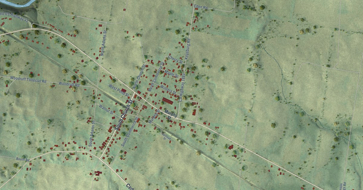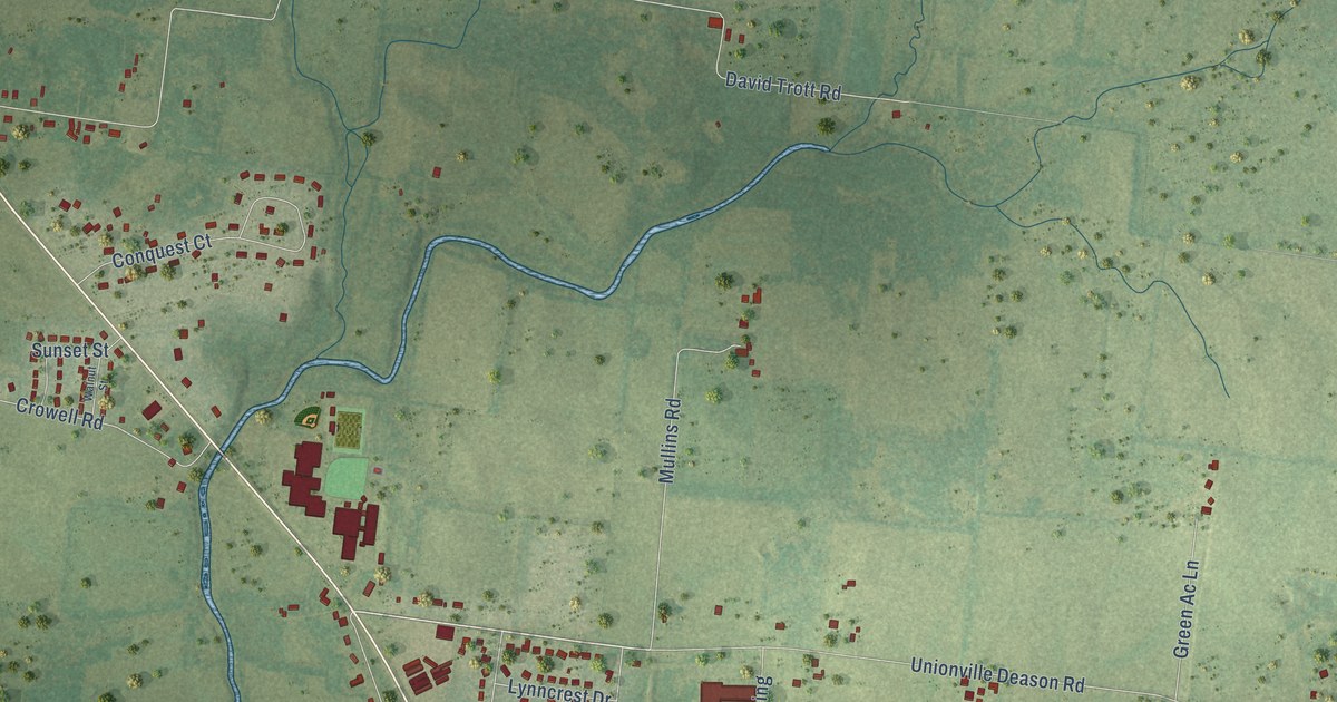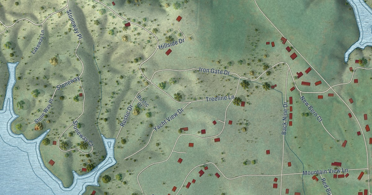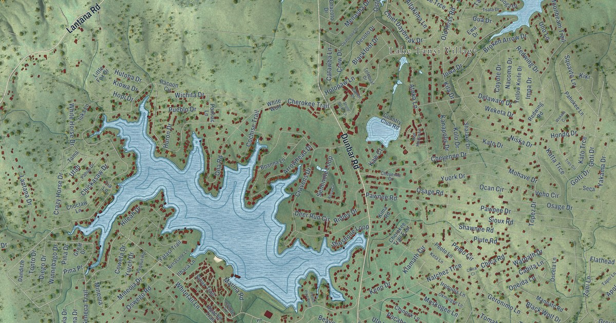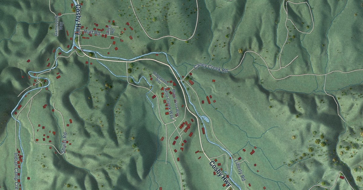
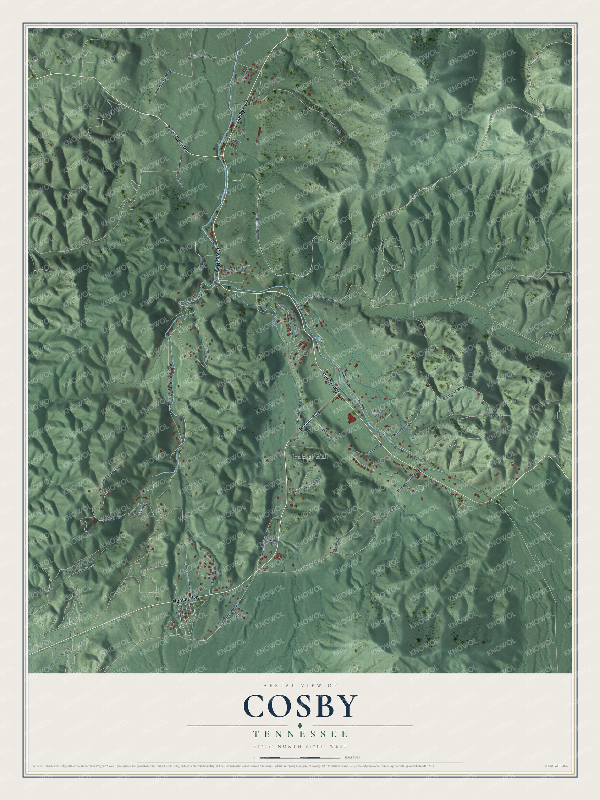
This beautifully detailed map of Cosby, Tennessee was created in 2026 using aerial imagery combined with modern topographical, census, street and landmark data. It's a modern aerial view of Cosby in Cocke County, Tennessee, that combines modern data with a vintage aesthetic. The roads feature printed names, and if you look closely you can find your exact house accurately shown in its correct location.
Explore an aerial view of Cosby, Tennessee
On this map you'll find Jenkins Mill, Cosby Highway, Hooper Highway, Jones Cove Road, Costner Road, Rooster Town Road, Indian Camp Creek Road, Liberty Road, Rockpile Way, Foothills Parkway, Green Forest Road, Laurel Springs Road, and more. Each red shape is a building, so zoom in on the preview and look for yours.
Every town has a first chapter, and Cosby is no exception. The Tennessee Encyclopedia puts it this way: "The Cosby Ruritan Club held the first ramp festival in Cocke County in 1954 as a way to participate in the tourism industry generated by the Great Smoky Mountains National Park. The Cosby Ramp Festival features a variety of ramp dishes, live music, crafts, and the Maid of Ramps Contest."
Cosby is a community in Cocke County. The Census Bureau counted 807 people here in 2020.
Take a closer look at the Cosby map
Names on this map
These names are printed on this map.
Places: Jenkins Mill.
Streets and roads: Cosby Highway, Hooper Highway, Jones Cove Road, Costner Road, Rooster Town Road, Indian Camp Creek Road, Liberty Road, Rockpile Way, Foothills Parkway, Green Forest Road, Laurel Springs Road, Stonebrook Drive.
More street names, A to Z
Amet Way, Ardell Way, Ball Park Road, Bedrock Way, Cane Way, Caney Creek Road, Chavis Road, Code Way, Connie Town Road, Cricket Hollow Way, Dew Drop Way, Gamecock Way, Giles Road, Holders Grove Road, Hot Shot Way, Houge Way, Huff Road, Jonas Road, Laurel Trail, Lck Way, Lilly Way, Little Creek Way, Monte Vista Way, Narrow Way, Red Fox Road, Ridgewood Way, Sassafras Way, Shults Road, Vicki Way, Was Road, Waters Cemetery Road.
Created by KNOWOL in 2026. The buildings are small red shapes, the roads carry their printed names, and shaded relief shows the shape of the land. The title panel reads "AERIAL VIEW OF COSBY TENNESSEE" with 35°48' NORTH 83°15' WEST.
Hang it in the hallway, the office or the cabin, or give it to someone who left Cosby and still calls it home. Open the preview and look for a street you know. See sizes and frames for the Cosby map.