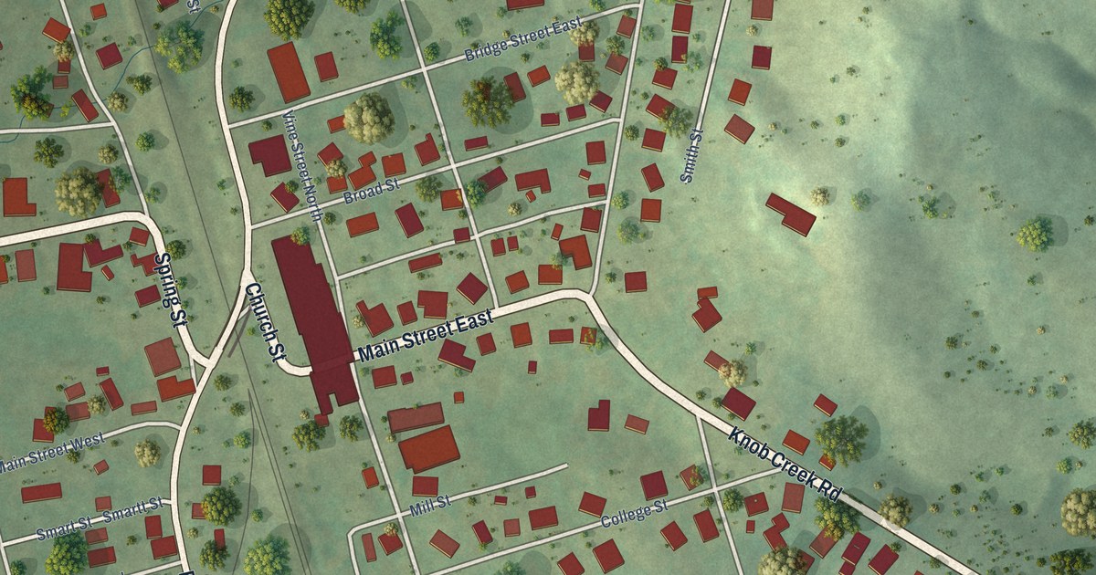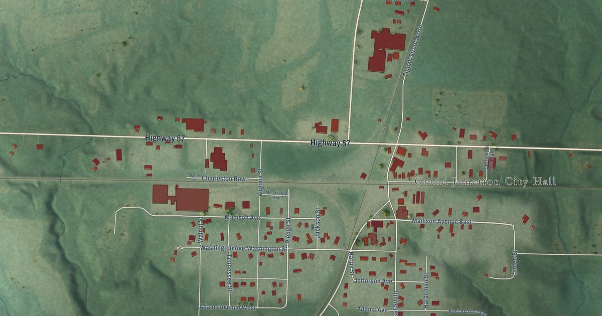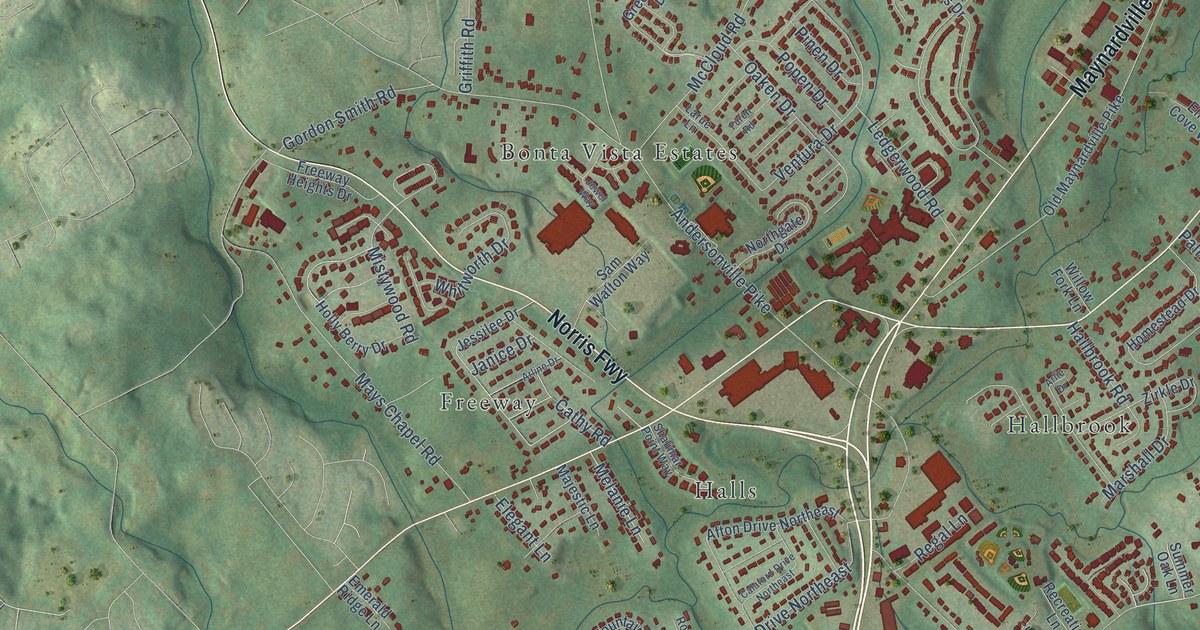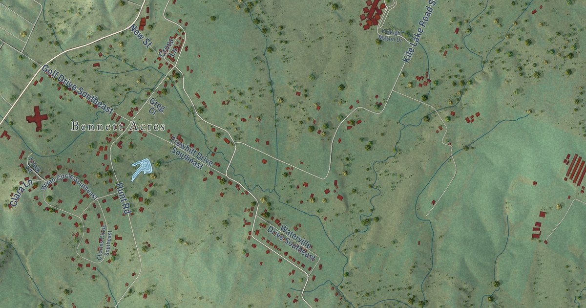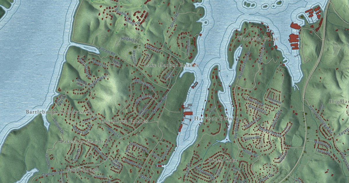
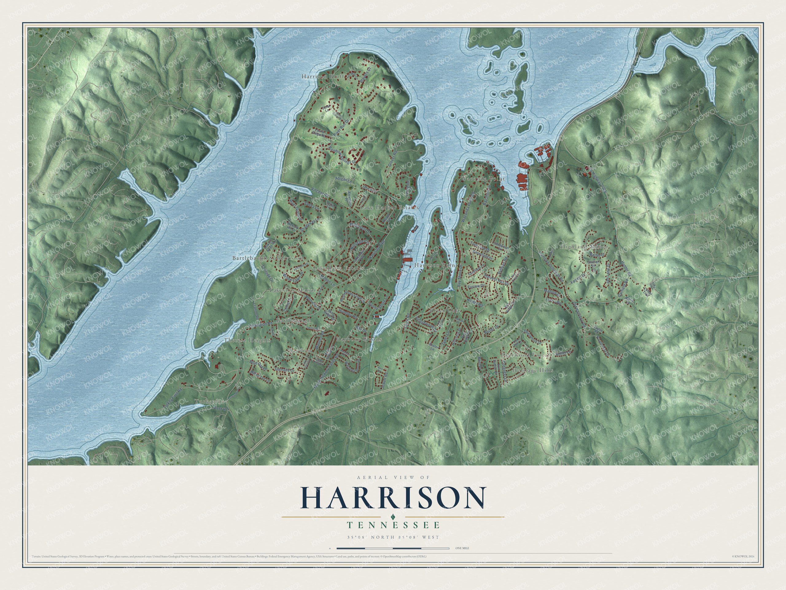
This beautifully detailed map of Harrison, Tennessee was created in 2026 using aerial imagery combined with modern topographical, census, street and landmark data. It's a modern aerial view of Harrison in Hamilton County, Tennessee, that combines modern data with a vintage aesthetic. The roads feature printed names, and if you look closely you can find your exact house accurately shown in its correct location.
Explore an aerial view of Harrison, Tennessee
On this map you'll find Turkeyfoot, Bartlebaugh, Bartlebaugh Subdivision, Bayview, Deerwood Forest, Harbour Woods, Harrison Bluff, Harrison Point, Heritage Hills, Highland Manor, Lake Harbor Estates, Lakeshor Manor, and more. Each red shape is a building, so zoom in on the preview and look for yours.
Harrison has a story worth telling. The Tennessee Encyclopedia puts it this way: "The old towns of Dallas and Harrison were inundated by waters of Lake Chickamauga in 1939 when Hamilton County became a center for the Tennessee Valley Authority."
Harrison is a community in Hamilton County. The Census Bureau counted 7,902 people here in 2020.
Take a closer look at the Harrison map
Names on this map
These names are printed on this map.
Places: Turkeyfoot, Bartlebaugh, Bartlebaugh Subdivision, Bayview, Deerwood Forest, Harbour Woods, Harrison Bluff, Harrison Point, Heritage Hills, Highland Manor, Lake Harbor Estates, Lakeshor Manor, Lakeshore Estates, River Oaks, Theresa Heights and Waconda Point.
Streets and roads: Bay Shore Drive, Bayshore Drive, Harrison Pike, Holder Road, Pythian Road, Vincent Road, Champion Road, North Hickory Valley Road, Clark Road, County Highway 2205, Hunter Road, River Run Drive.
More street names, A to Z
Abigail Lane, Alexandra Place, Antler Lane, Barleyfield Drive, Barn Road, Barter Drive, Bay Drive, Bent Drive, Blue Oak Drive, Bradley Lane, Canoe Lane, Celtic Drive, Congress Lane, Darlene Circle, Deerwood Drive, Doe Run Lane, Doral Lane, Drake Parkway Road, Easter Lane, Fairest Drive, Fort Sumter Drive, Furrow Drive, Garfield Road, Glacier Lane, Glenaire Drive, Glover Road, Harbor Terrace, Harrison Lane, Harrison Ooltewah Road, Harvest Run Drive, Hickory Hill Drive, Hillcrest Drive, Hillsdale Circle, Howard Adair Road, Hundley Road, Jackson Drive, Jan Lane Drive, Jewell Road, Knollcrest Drive, Lake Crest Circle, Lakeshore Drive, Lakeshore Parkway, Lake Villa Lane, Laurel Ridge Road, Leamon Road, Lone Hill Road, Lottie Lane, Luke Lane, Luther Trail, Lystra Road, Mahlon Drive, Marie Lane, Melton Lane, Millard Lee Lane, Misty Ridge Drive, Montcrest Drive, Northwind Drive, Oakihill Road, Old Harrison Road, Pine Lake Drive, Players Court, Porter Drive, Rainbow Springs Drive, Rim Crest Lane, Rim Ridge Court, River Glade Drive, River Oaks Road, Sagefield Lane, Sandwood Circle, Sasha Lane, Shadyway Lane, Shoal Lane, Solitude Drive, Sunny Shore Lane, Taylor Road, Tee Way Circle, Topsail Greens Drive, Tree Line Drive, Turkey Foot Road, Turkeyfoot Road, Tyner Lane, Villagewood Drive, Vulcan Lane, Waconda Point Road, Waconda Road, Waconda Shore Drive, Webb Road, Westminster Circle Drive, Willow Lawn Drive, Wooten Road.
Created by KNOWOL in 2026. The buildings are small red shapes, the roads carry their printed names, and shaded relief shows the shape of the land. The title panel reads "AERIAL VIEW OF HARRISON TENNESSEE" with 35°08' NORTH 85°08' WEST.
It looks right in a kitchen, an office or a den, and it's a gift for anyone who grew up in Harrison or moved away. Open the preview and find your street. See sizes and frames for the Harrison map.