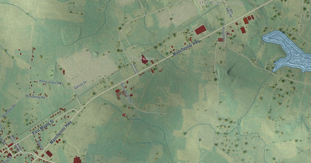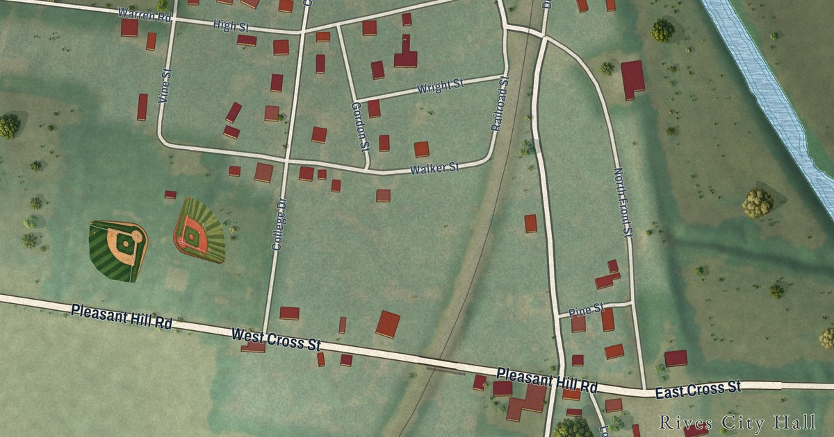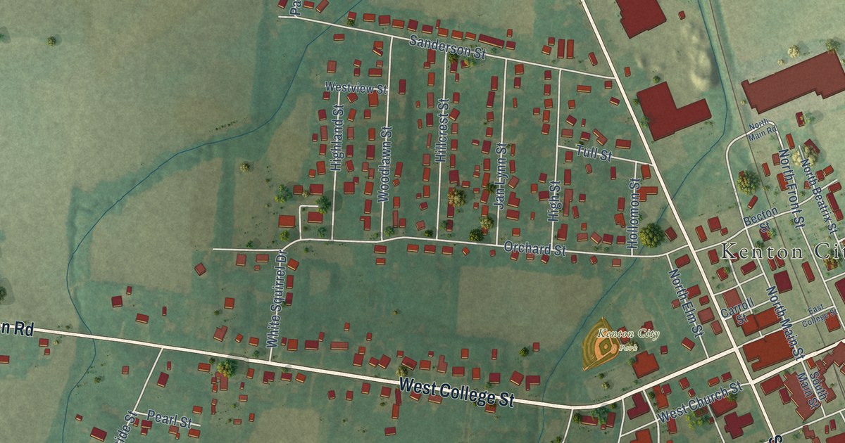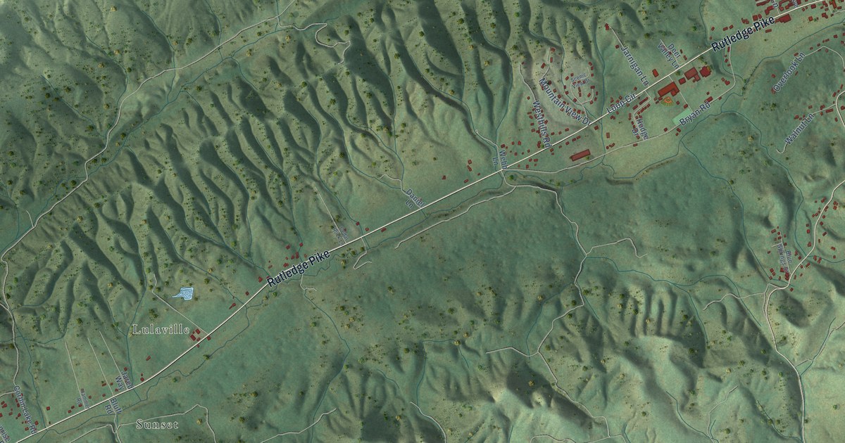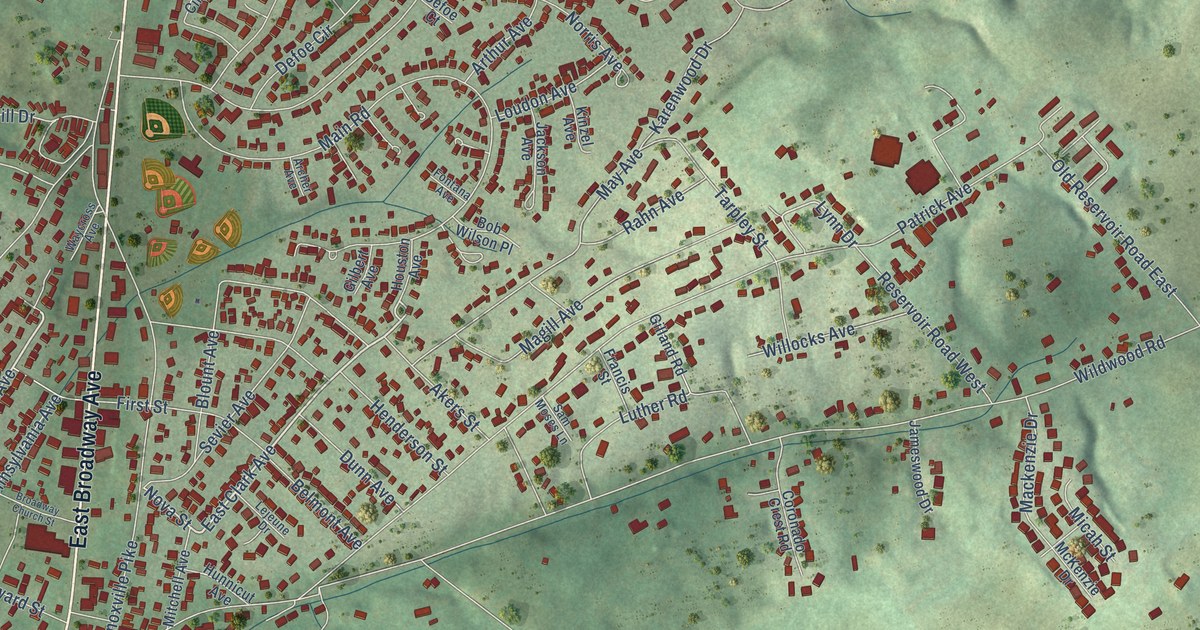
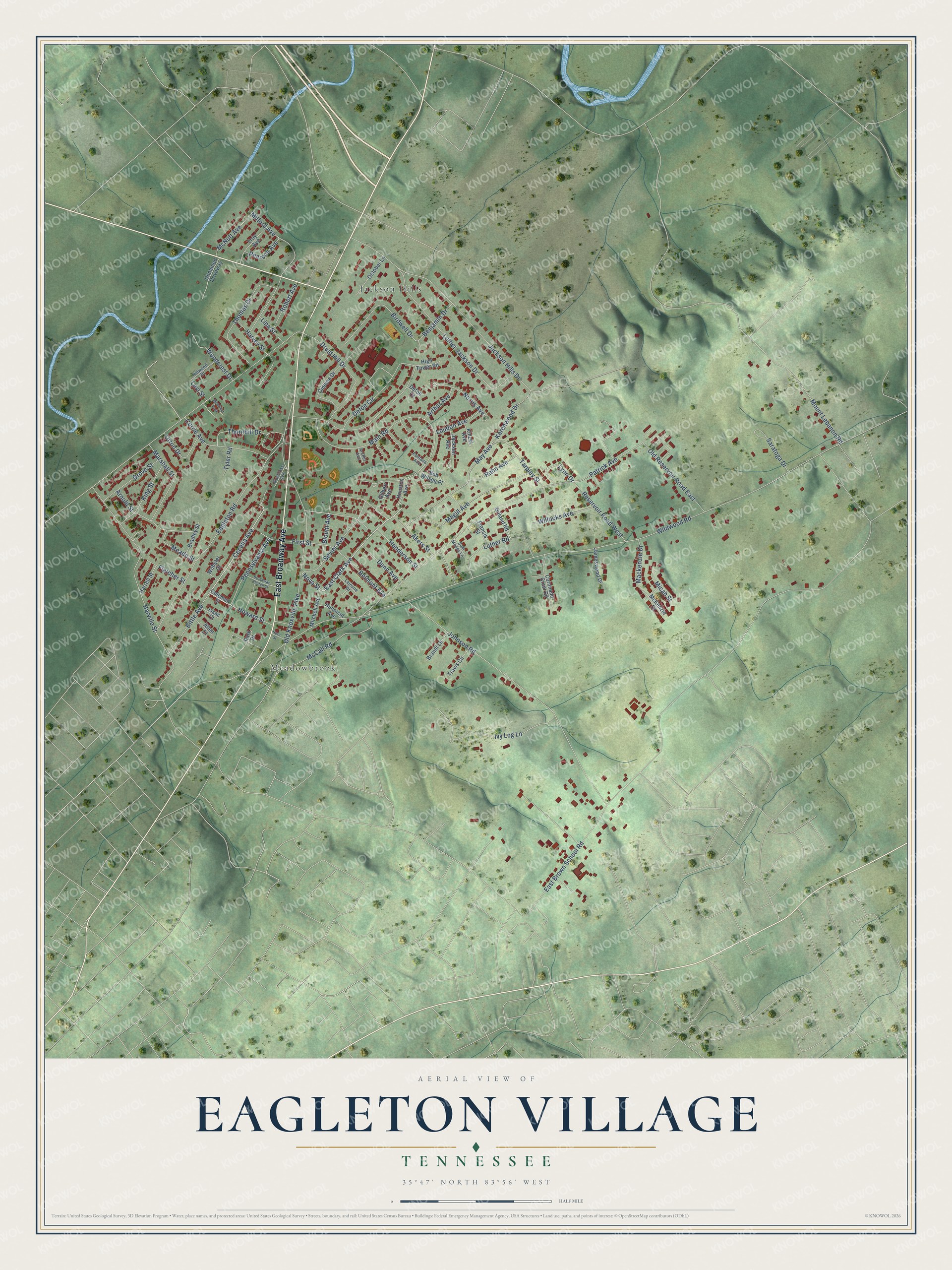
This beautifully detailed map of Eagleton Village, Tennessee was created in 2026 using aerial imagery combined with modern topographical, census, street and landmark data. It's a modern aerial view of Eagleton Village in Blount County, Tennessee, that combines modern data with a vintage aesthetic. The roads feature printed names, and if you look closely you can find your exact house accurately shown in its correct location.
Explore an aerial view of Eagleton Village, Tennessee
On this map you'll find Jackson Hills, Meadowbrook, East Broadway Avenue, Cecelia Avenue, East Clark Avenue, Nova Street, Lynn Drive, East Brown School Road, Wildwood Road, Mount Lebanon Road, Patrick Avenue, Jackson Hills Drive, and more. Each red shape is a building, so zoom in on the preview and look for yours.
Here is a piece of Eagleton Village history, in the words of the record. The Blount County Genealogy Trails puts it this way: "The development takes its name from Eagleton School, which in turn was named after an early local settler, David Eagleton. Its nucleus was housing built starting in 1941 for workers at a nearby Alcoa plant, staffing up for World War II production."
Eagleton Village is a community in Blount County. The Census Bureau counted 5,393 people here in 2020.
Take a closer look at the Eagleton Village map
Names on this map
These names are printed on this map.
Places: Jackson Hills, Meadowbrook and McArthur Park.
Streets and roads: East Broadway Avenue, Cecelia Avenue, East Clark Avenue, Nova Street, Lynn Drive, East Brown School Road, Wildwood Road, Mount Lebanon Road, Patrick Avenue, Jackson Hills Drive, Eagleton Road, Johnson Road.
More street names, A to Z
Akers Street, Allen Court, Archer Avenue, Arnold Street, Arthur Avenue, Belmont Avenue, Benjamin Drive, Birdwell Drive, Bittle Avenue, Blount Avenue, Bob Wilson Place, Bradley Street, Brandi Lane, Broadway Church Street, Cinema Drive, Coleman Street, Coronado Crest Road, Currie Avenue, Defoe Circle, Defoe Court, Druid Hill Drive, Dunn Avenue, First Street, Fletcher Street, Fontana Avenue, Francis Street, Gilbert Avenue, Gilland Road, Grove Street, Harrell Street, Harvey Street, Harville Street, Henderson Street, High Tower Road, Hillwood Drive, Horn Street, Houston Avenue, Howard Street, Hunnicut Avenue, Issac Court, Ivy Log Lane, Jackson Avenue, Jameswood Drive, Karenwood Drive, King Street, Kinzel Avenue, Lejeune Drive, Levi Street, Lina Street, Loudon Avenue, Luther Jackson Drive, Luther Road, Mackenzie Drive, Magill Avenue, Main Road, Marshall Street, May Avenue, McCall Road, McKenzie Drive, McNutt Avenue, Meade Street, Micah Street, Milford Avenue, Mitchell Avenue, Norris Avenue, October Lane, Old Knoxville Pike, Old Reservoir Road East, Orton Drive, Park Drive, Pearson Avenue, Pennsylvania Avenue, Rahn Avenue, Reservoir Road West, Robert Avenue, Sam Moses Lane, Saratoga Drive, Sevier Avenue, Tarpley Street, Thomas Drive, Thornhill Drive, Travis Circle, Troy Avenue, Tyler Road, Unnamed Driveway, Waycross Avenue, Webster Court, Willocks Avenue, Woodcrest Drive.
Created by KNOWOL in 2026. The buildings are small red shapes, the roads carry their printed names, and shaded relief shows the shape of the land. The title panel reads "AERIAL VIEW OF EAGLETON VILLAGE TENNESSEE" with 35°47' NORTH 83°56' WEST.
It suits a den, a classroom or a front hall, and it makes a gift for anyone with Eagleton Village roots. Open the preview and find the block you know. See sizes and frames for the Eagleton Village map.