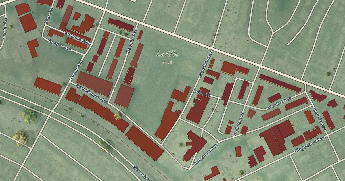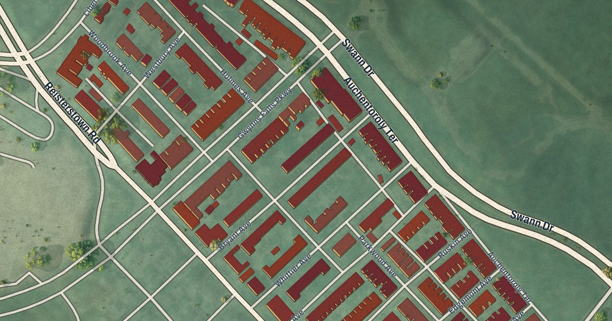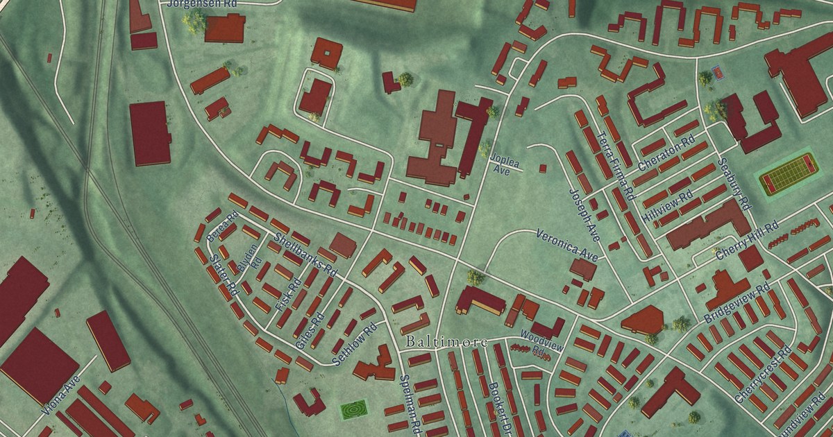
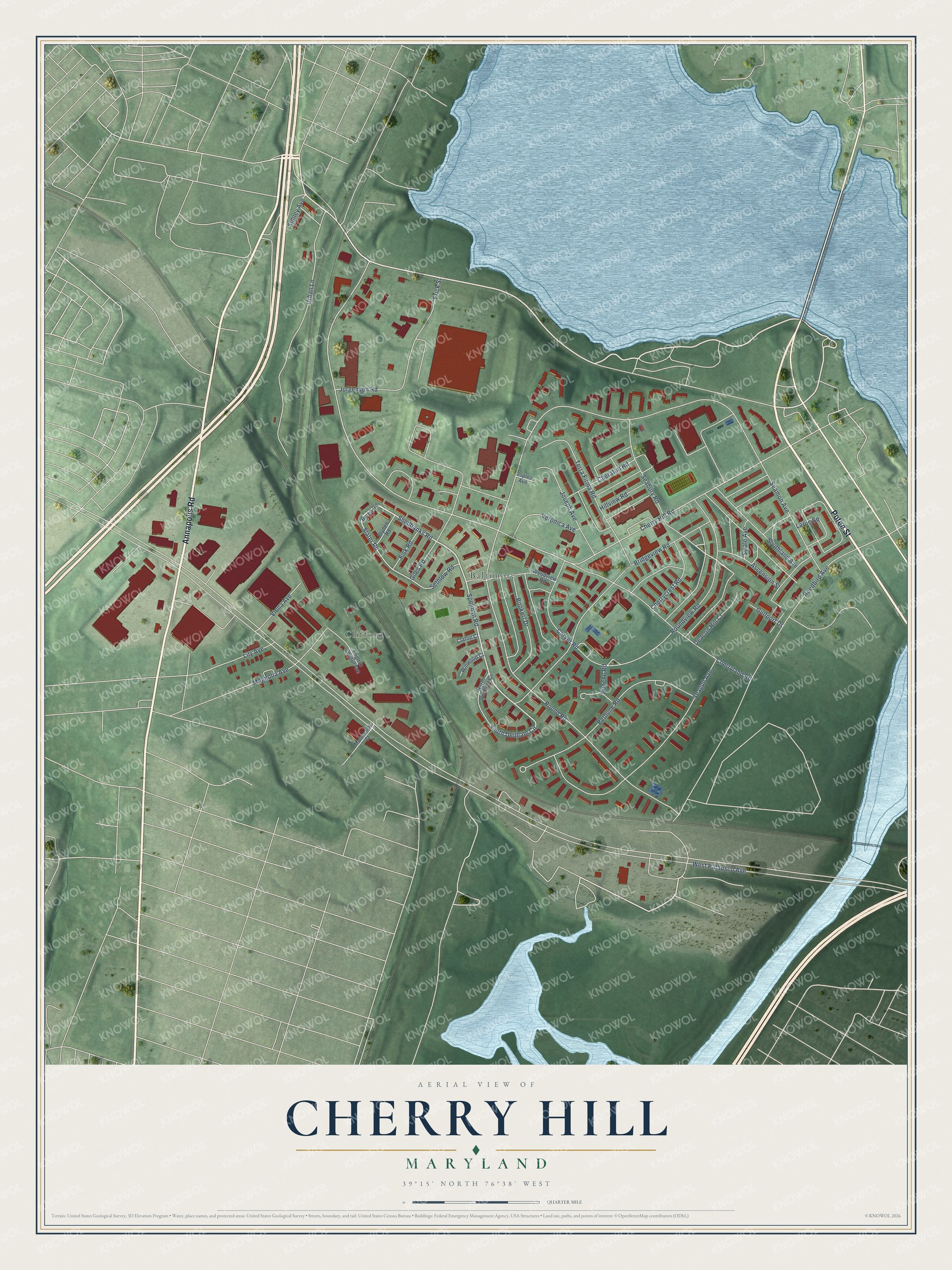
This beautifully detailed map of Cherry Hill, Maryland was created in 2026 using aerial imagery combined with modern topographical, census, street and landmark data. It’s a one-of-a-kind view of Cherry Hill that combines accurate data with a vintage aesthetic. The map shows every building in its true location, many of the roads carry their names, and the shaded topographic relief shows the shape of the land.
Explore an aerial view of Cherry Hill, Maryland
On the map you’ll find Baltimore and Clifford, along with Potee Street, Annapolis Road, Shellbanks Road, Spelman Road, South Denham Circle, Slater Road, Cherry Hill Road, Round Road, West Patapsco Avenue, Seamon Avenue, and more. If you look closely you can even find your house accurately drawn in its correct location. Zoom in on the preview to look for yours.
Did you know this about Cherry Hill, Maryland?
From the Historical Marker Database: "Part of the city but green as a suburb, Cherry Hill is a distinctive African American planned community."
Cherry Hill is a neighborhood in Baltimore City.
Take a closer look at the Cherry Hill map
Street and place names on the Cherry Hill, Maryland map
These names are printed on the map of Cherry Hill, Maryland.
Places: Baltimore and Clifford.
Streets and roads: Potee Street, Annapolis Road, Shellbanks Road, Spelman Road, South Denham Circle, Slater Road, Cherry Hill Road, Round Road, West Patapsco Avenue, Seamon Avenue, Bridgeview Road, Urban Lane.
More street names, A to Z
Ascension Street, Berea Road, Bethune Road, Blyden Road, Bookert Drive, Bunche Road, Carver Road, Cheraton Road, Cherrycrest Road, Cherryland Road, Claflin Court, Deacon Hill Court, English Consul Avenue, Erick Street, Fisk Road, Giles Road, Gulfport Drive, Hillview Road, Joplea Avenue, Jorgensen Road, Joseph Avenue, Larue Square, Lily Avenue, Magnolia Avenue, Marmenco Court, North Denham Circle, Reedbird Avenue, Roundview Road, Seabury Road, Seagull Avenue, Sethlow Road, Sidney Avenue, Southland Avenue, Swale Avenue, Terra Firma Road, Veronica Avenue, Viona Avenue, Winwood Court, Woodview Road.
See the Cherry Hill, Maryland map on a wall
The Cherry Hill map as an 18 x 24 inch print in a black frame.

This beautifully detailed map of Cherry Hill makes an attractive addition to your office, library, or den, and it can even be used to teach children the geography and history of the area. It also makes a great gift for anyone with Cherry Hill roots. When you’re done exploring, click here to get your copy of the Cherry Hill map.