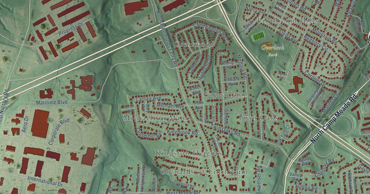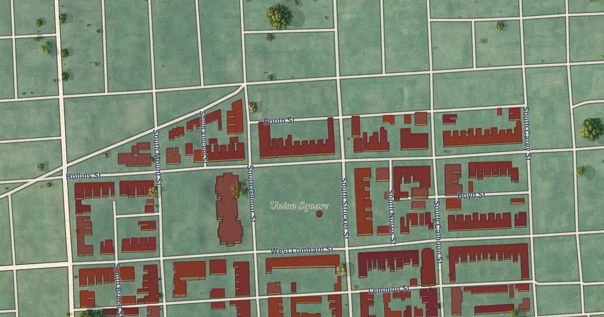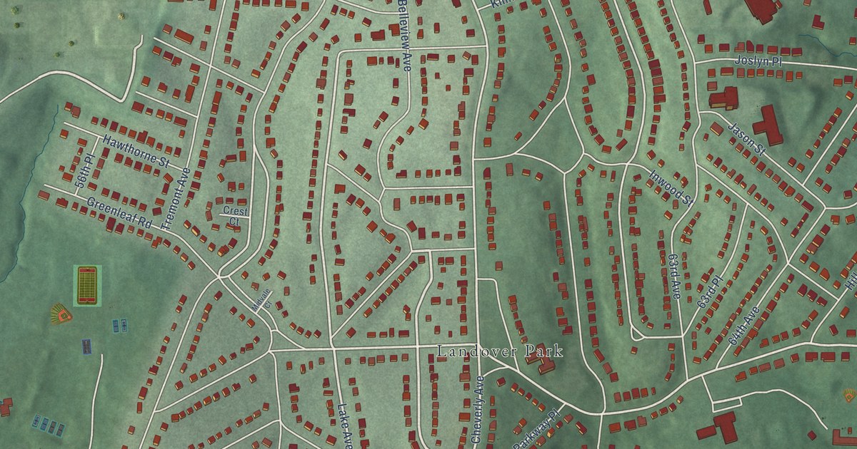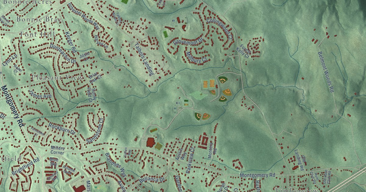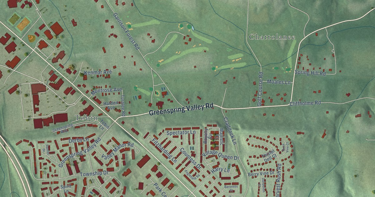
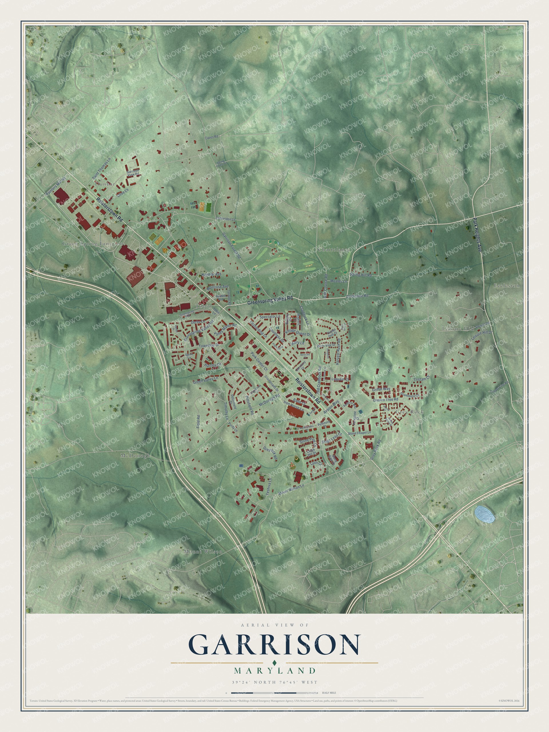
This beautifully detailed map of Garrison, Maryland was created in 2026 using aerial imagery combined with modern topographical, census, street and landmark data. It's a modern aerial view of Garrison in Baltimore County, Maryland, that combines modern data with a vintage aesthetic. The roads feature printed names, and if you look closely you can find your exact house accurately shown in its correct location.
Explore an aerial view of Garrison, Maryland
On this map you'll find Grey Rock, Mount Wilson, Dunbar, Eccleston, Tobin, Chattolanee, McDonogh, Leisure Hill, Green Spring Junction, Reisterstown Road, Greenspring Valley Road, Park Heights Avenue, and more. Each red shape is a building, so zoom in on the preview and look for yours.
Garrison has a story worth telling. Stone Chapel in Garrison Forest traces its congregation to November 25, 1772, when Francis Asbury preached at Joshua Owings's home nearby. In 1785 its trustees leased an acre for 99 years at a rent of one peppercorn a year, and the stone chapel built by 1786 was dedicated by Richard Owings, the first American-born Methodist preacher. Asbury preached at the finished chapel in September 1787, and the present Greek Revival church, built with material from the first chapel, went up in 1862. That's from the Maryland Historical Trust.
Garrison is a community in Baltimore County. The Census Bureau counted 9,487 people here in 2020.
Take a closer look at the Garrison map
Names on this map
These names are printed on this map.
Places: Grey Rock, Mount Wilson, Dunbar, Eccleston, Tobin, Chattolanee, McDonogh, Leisure Hill and Green Spring Junction.
Streets and roads: Reisterstown Road, Greenspring Valley Road, Park Heights Avenue, Village Queen Drive, Garrison Forest Road, McDonogh Road, Mount Wilson Lane, Yeshiva Lane, Park Center Court, Iron Horse Lane, Saint Thomas Lane, Pittsfield Road.
More street names, A to Z
Archimedes Court, Avalon Way, Balin Court, Barbican Way, Baroness Court, Berry Vine Drive, Carneliard Court, Caves Road, Chalk Hill Drive, Chittenden Lane, Cliffholme Road, Cornbury Court, Countess Drive, Craddock Lane, Crossroads Drive, Dandelion Court, Derby Lane, Englefield Square, Field Road, Fitzharding Lane, Garrison View Road, Golf Course Road, Greene Tree Road, Greenshire Lane, Greenspring Way, Green Valley Lane, Greylock Road, Grey Rock Road, Griffin Way, Grummore Circle, Hamlet Drive, Harden Avenue, Harry Lane, Hartley Circle, Harvest Rush Road, Hemison Court, Howard Square Drive, Joanna Court, Kenmar Avenue, Leisure Hill Drive, Luguain Court, Lyon Court, Majestic Court, Moales Lane, Montrose Avenue, Old Craddock Road, Olive Lane, Painters Mill Road, Pellinore Court, Peregrine Court, Purdy Lane, Royalty Circle, Rush Vine Court, Saracen Drive, Spectator Lane, Spirit Lane, Spring Forest Court, Spring Hill Road, Stags Leap Court, Stewart Road, Stone Chapel Lane, Stone Gate Court, Stone Pine Court, Thistel Dell Court, Timber Line Road, Timothy Lane, Tobin Lane, Township Drive, Tristam Court, Turnlee Road, Upperfield Court, Valley Manor Road.
See it on a wall
The Garrison map as a framed print. Swipe for more.


Created by KNOWOL in 2026. The buildings are small red shapes, the roads carry their printed names, and shaded relief shows the shape of the land. The title panel reads "AERIAL VIEW OF GARRISON, MARYLAND" with 39°24' NORTH 76°45' WEST.
It looks right in a kitchen, an office or a den, and it's a gift for anyone who grew up in Garrison or moved away. Open the preview and find your street. See sizes and frames for the Garrison map.