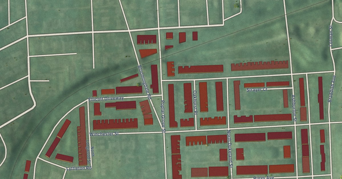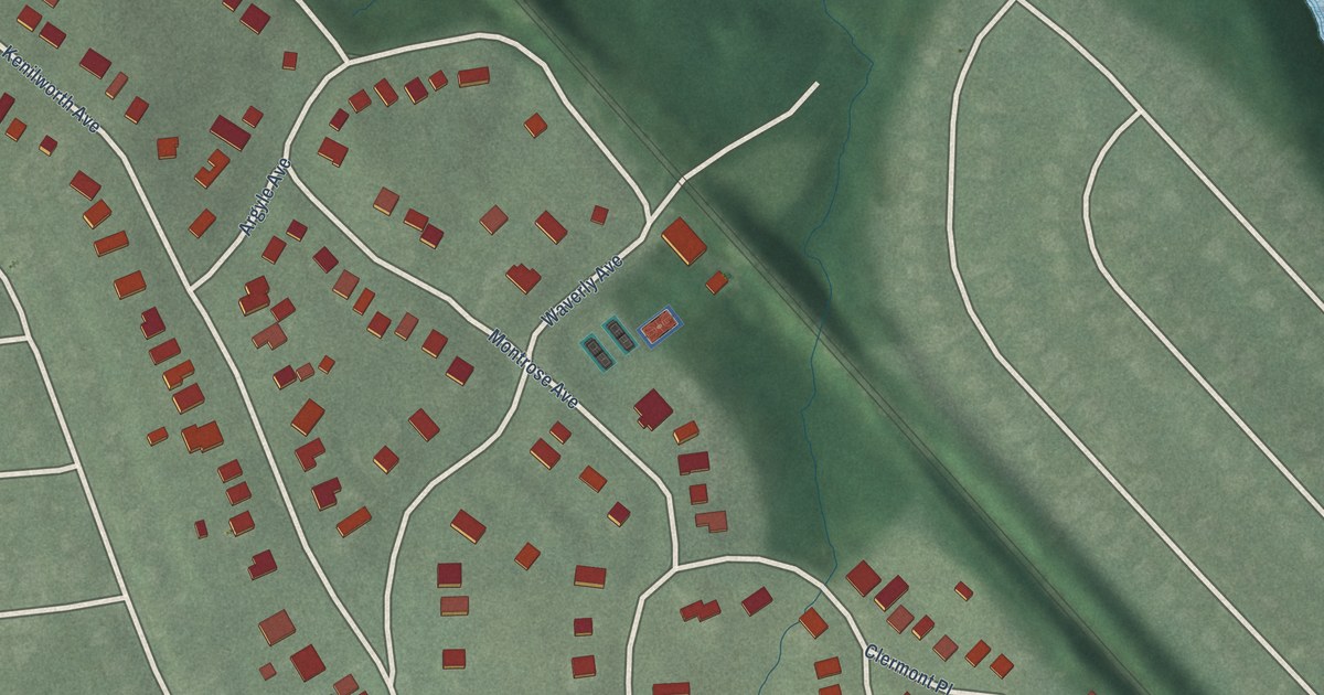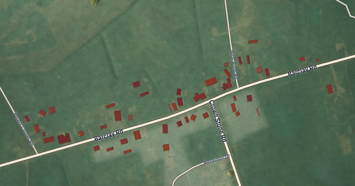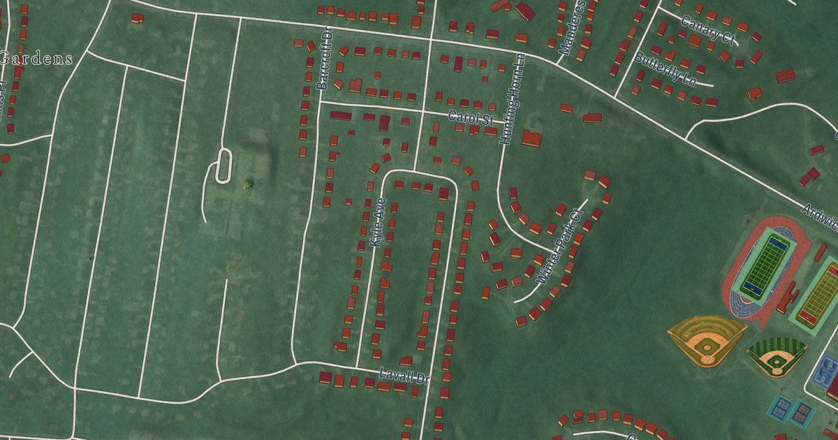
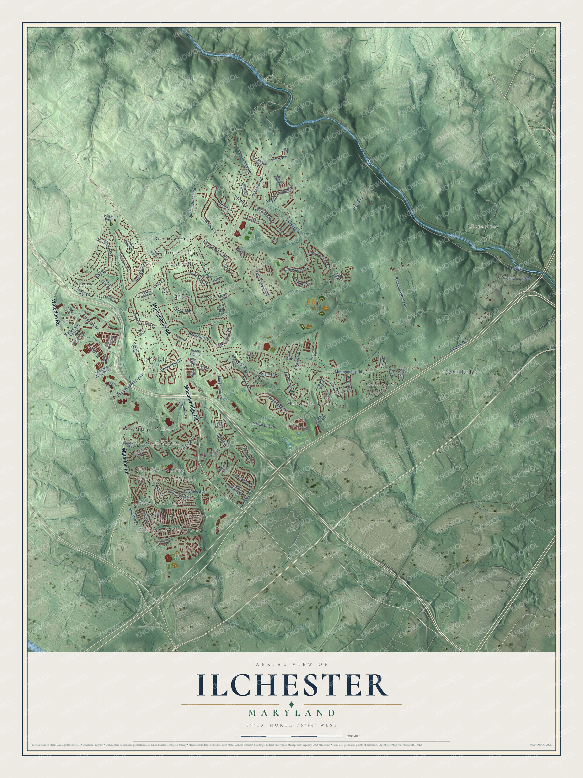
This beautifully detailed map of Ilchester, Maryland was created in 2026 using aerial imagery combined with modern topographical, census, street and landmark data. It's a modern aerial view of Ilchester in Howard County, Maryland, that combines modern data with a vintage aesthetic. The roads feature printed names, and if you look closely you can find your exact house accurately shown in its correct location.
Explore an aerial view of Ilchester, Maryland
On this map you'll find Marshalee Estates, Glenartney, Village of Deep Run, Bonnie Acres, Quail Ridge, Woodland Village, Brightfield, Timberview, Pleasant View, Thompsons Purchase, Glenmar, Locust Manor, and more. Each red shape is a building, so zoom in on the preview and look for yours.
Ilchester is a community in Howard County. The Census Bureau counted 26,824 people here in 2020. Ilchester sits about 2 miles northwest of Elkridge, 4 miles south of Catonsville and 4 miles southwest of Arbutus. The map prints the town name in its title panel, with the coordinates below it.
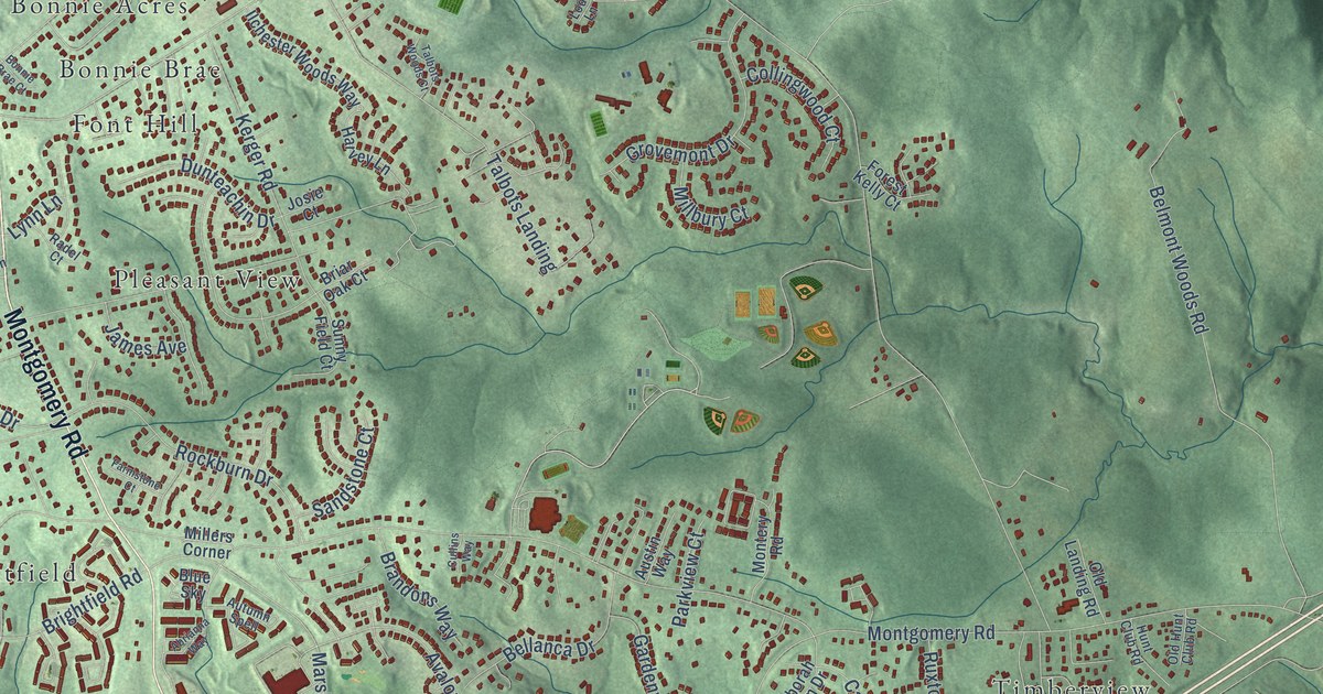
Take a closer look at the Ilchester map
Names on this map
These names are printed on this map.
Places: Marshalee Estates, Glenartney, Village of Deep Run, Bonnie Acres, Quail Ridge, Woodland Village, Brightfield, Timberview, Pleasant View, Thompsons Purchase, Glenmar, Locust Manor, Mayfield Manor, Bonnie Brae, Pfeiffer Corners, Font Hill and Deep Run Park.
Streets and roads: Montgomery Road, Meadowridge Road, Waterloo Road, Ilchester Road, Bonnie Branch Road, River Road, Landing Road, Kerger Road, Belmont Woods Road, Norris Lane, Marshalee Drive, Wesley Lane.
More street names, A to Z
Abrianna Way, Arbor Way, Austin Way, Autumn Spell, Avalon Drive, Beechwood Road, Bellanca Drive, Blue Sky, Bonnie Brae Court, Brandons Way, Briar Court, Briar Oak Court, Brightfield Road, Britten Lane, Brookview, Butterfield Drive, Calvert Drive, Chapel Manor Lane, Charles Crossing, Collingwood Court, Crestwood Lane, Cullins Way, Deborah Jean Drive, Dunteachin Drive, East Glen Road, Elibank Drive, Elk Mar Drive, Elko Drive, Ellis Lane, Falls Run Road, Farmstone Court, Forest Kelly Court, Fox Tail Lane, Gardenview Drive, Glenmar Road, Golden Crst, Goldfinch Court, Grovemont Drive, Hale Court, Harvey Lane, High Meadow Court, Hillrise Court, Hunt Club Road, Hunting Horn Drive, Huntshire Drive, Ilchester Point Court, Ilchester Woods Way, James Avenue, Jeans Way, Josie Court, Keeton Road, Little Creek Drive, Lodi Lane, Logans Way, Lynn Lane, March Brown Road, Marioak Drive, Marshalee Lane, Mayfield Avenue, Meadowfield Court, Millbury Court, Millers Corner, Mitzy Lane, Montery Road, Montgomery Run Road, Morningside Lane, Oakton Lane, Old Highgate Drive, Old Hunt Club Road, Old Landing Road, Old Montgomery Road, Old Waterloo Road, Otterbein Lane, Owens Court, Parkview Court, Pebble Creek Drive, Radel Court, Rice Court, Rising Sun Lane, Rockburn Drive, Rockburn Hill Road, Royal Coachman Drive, Ruxton Drive, Saint Jean Way, Sanctuary Court, Sandstone Court, Sandy Ridge Court, Sedgwick Street, Snowden River Parkway, Sunny Field Court, Sutton Court, Talbot Drive, Talbots Landing, Talbots Woods Court, Trotters Chase, University Boulevard, Vaile Drive, Village Drive, Vottas Way, Wharff Lane, Windpower Way, Winesap Way, Woodcrest Drive, Woodloo Drive.
Created by KNOWOL in 2026. The buildings are small red shapes, the roads carry their printed names, and shaded relief shows the shape of the land. The title panel reads "AERIAL VIEW OF ILCHESTER, MARYLAND" with 39°13' NORTH 76°46' WEST.
It suits a den, a classroom or a front hall, and it makes a gift for anyone with Ilchester roots. Open the preview and find the block you know. See sizes and frames for the Ilchester map.