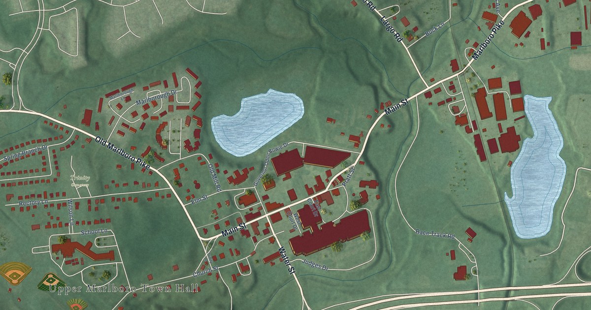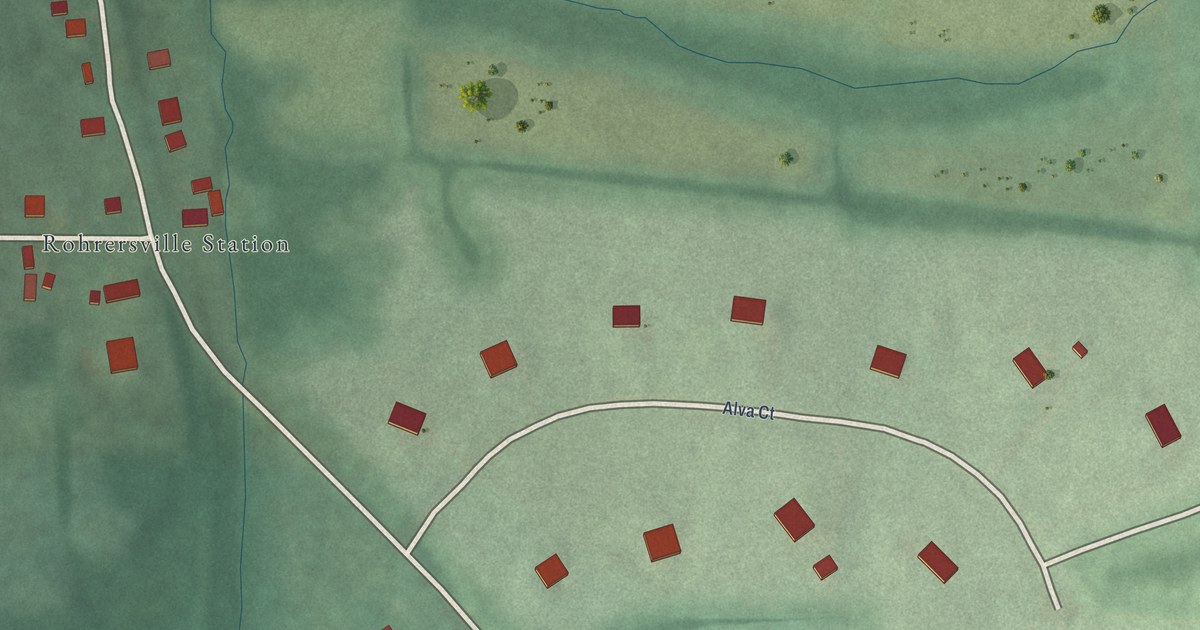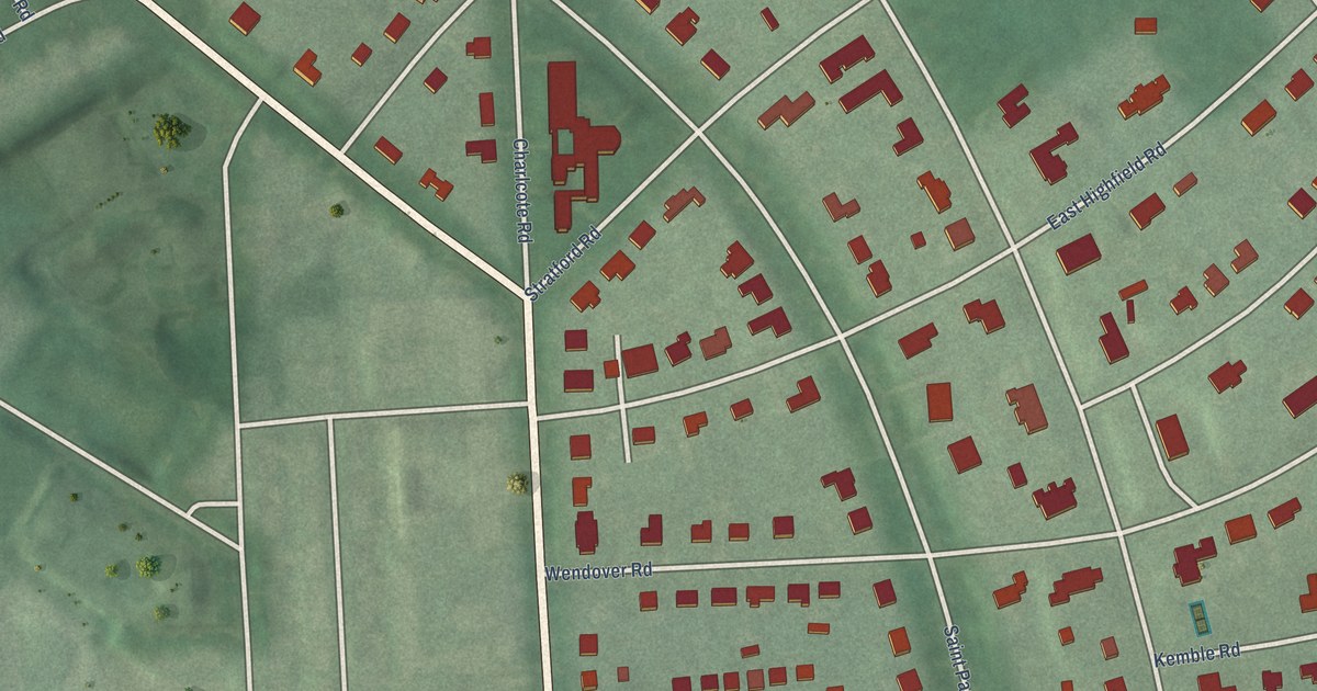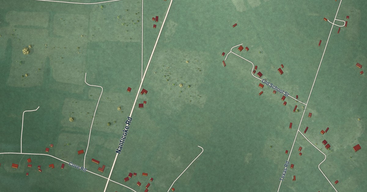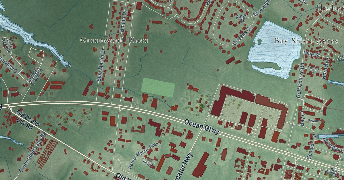
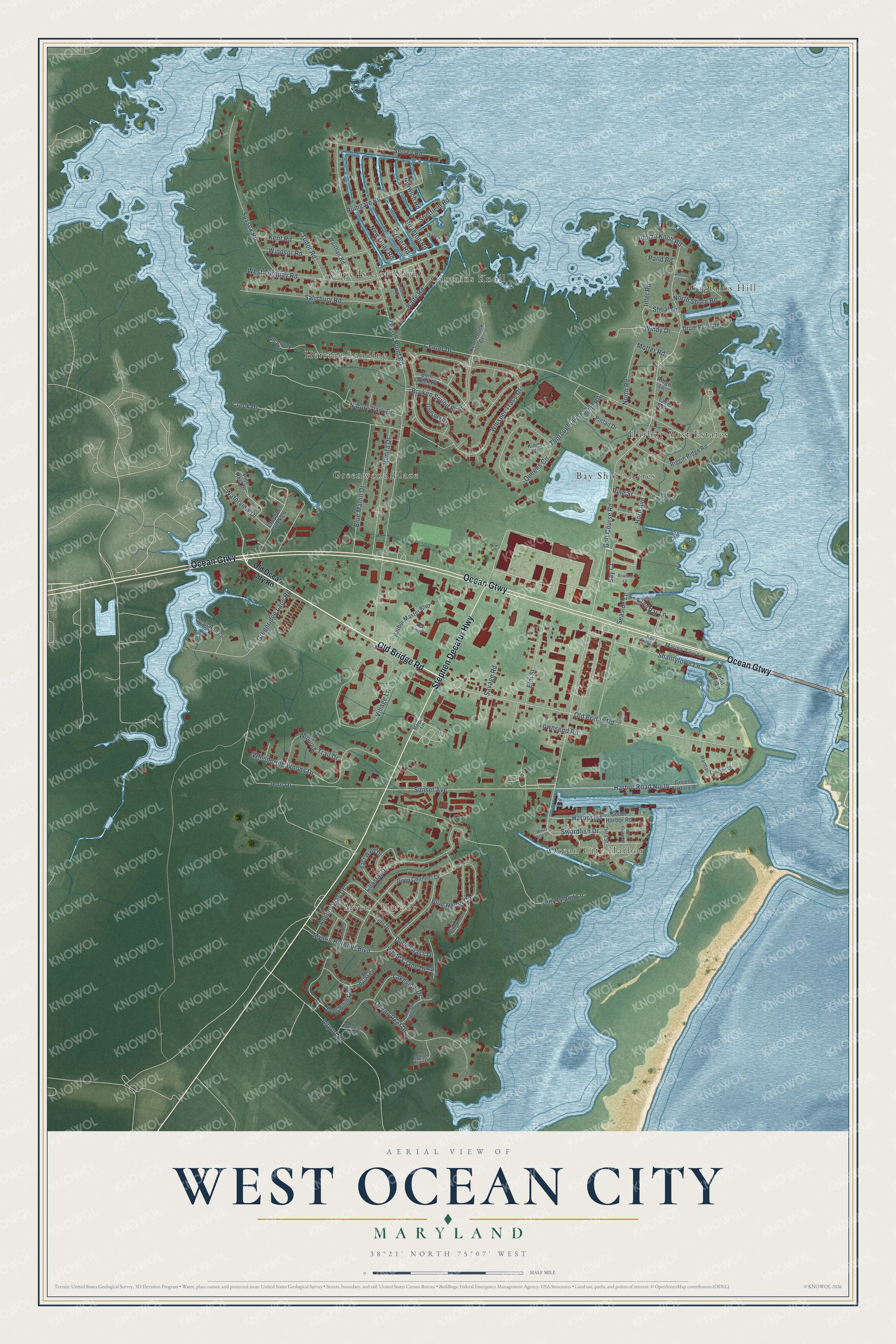
This beautifully detailed map of West Ocean City, Maryland was created in 2026 using aerial imagery combined with modern topographical, census, street and landmark data. It's a modern aerial view of West Ocean City in Worcester County, Maryland, that combines modern data with a vintage aesthetic. The roads feature printed names, and if you look closely you can find your exact house accurately shown in its correct location.
Explore an aerial view of West Ocean City, Maryland
On this map you'll find Mystic Harbor, Ocean City Harbor, Captains Hill, Greenwood Place, Cape Isle of Wight, Bay Shore Acres, Herring Landing, Harbor Mist Estates, Captains Knoll, Old Bridge Road, Ocean Gtwy, Stephen Decatur Highway, and more. Each red shape is a building, so zoom in on the preview and look for yours.
West Ocean City is a community in Worcester County. The Census Bureau counted 4,952 people here in 2020. West Ocean City sits about 3 miles southeast of Ocean Pines, 6 miles east of Berlin and 8 miles southeast of Bishopville. The map prints the town name in its title panel, with the coordinates below it.
Take a closer look at the West Ocean City map
Names on this map
These names are printed on this map.
Places: Mystic Harbor, Ocean City Harbor, Captains Hill, Greenwood Place, Cape Isle of Wight, Bay Shore Acres, Herring Landing, Harbor Mist Estates and Captains Knoll.
Streets and roads: Old Bridge Road, Ocean Gtwy, Stephen Decatur Highway, Harbor Road North, Sunset Avenue, Golf Course Road, Waterview Drive, Shantytown Lane, Keyser Point Road, Whisper Trace Drive, Center Drive, Mystic Harbour Boulevard.
More street names, A to Z
Airport Road, Anchor Court, Anchor Way Drive, Balte Road, Bay Court, Bent Creek Road, Blue Heron Circle, Blue Marlin Drive, Bonita Drive, Bowline Lane, Brighton Road, Bristol Road, Broken Sound Boulevard, Charles Street, Coastal Drive, Creek Drive, Cropper Creek Lane, Cutlass Drive, Deep Channel Drive, Deer Point Circle, Drum Point Road, Dune Grass Drive, East Wind Drive, Elm Street, Exeter Road, First, Fleetway Drive, Godspeed Drive, Greenridge Lane Road, Green Turtle Lane, Harbor Lights Drive, Harbor Master Boulevard, Harbor Road, Horn Avenue, Horn Island Drive, Indian Knoll Road, Indian Trail Drive, Inlet Isle Lane, Inlet Road, Jene Drive, Keel Drive, Kelly Bridge Lane, Kennebunk Court, Kent Road, Kings Court, Lake Avenue, Lakeview Drive, Marina View Lane, Marjan Lane, Marthas Landing Drive, Misty Shore Drive, Motter Road, Mountain Laurel, Nature Park Drive, New Quay Road, North Road, North Shore Road, Norwich Road, Ocean Reef Drive, Old Ocean City Road, Pine Rest Drive, Pine Street, Pintail Drive, Pond Road, Pony Island Lane, Quail Run Lane, Quay Lane, Queens Circle, Ridge Lane, Riggin Ridge Road, Rumgate Road, Salisbury Road, Sand Bar Lane, Savage Road, Sea Buoy Court, Seaside Lane, Selsey Road, Sheffield Road, Shoal Drive, South Harbor Road, Sunrise Cv, Sussex Road, Swordfish Drive, Ten Point Court, Third Street, Thoroughfare Farms Road, Townsend Road, Tudor Road, Village Lane, Walthan Road, West End Court, West Fourth Street, West Torquay Road, Whispering Woods Drive, White Crane Drive, Winding Trail Drive, Windsor Road, Windswept Drive, Windy Drive.
See it on a wall
The West Ocean City map as a framed print. Swipe for more.


Created by KNOWOL in 2026. The buildings are small red shapes, the roads carry their printed names, and shaded relief shows the shape of the land. The title panel reads "AERIAL VIEW OF WEST OCEAN CITY, MARYLAND" with 38°21' NORTH 75°07' WEST.
It looks right in a kitchen, an office or a den, and it's a gift for anyone who grew up in West Ocean City or moved away. Open the preview and find your street. See sizes and frames for the West Ocean City map.