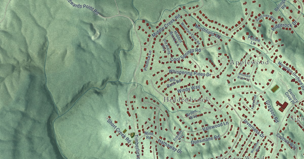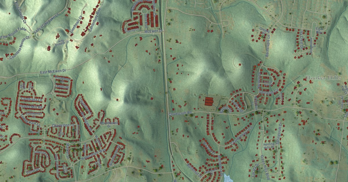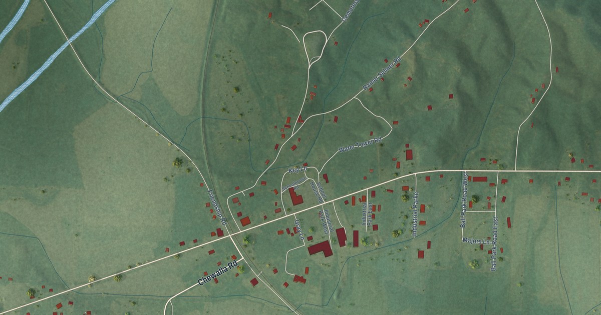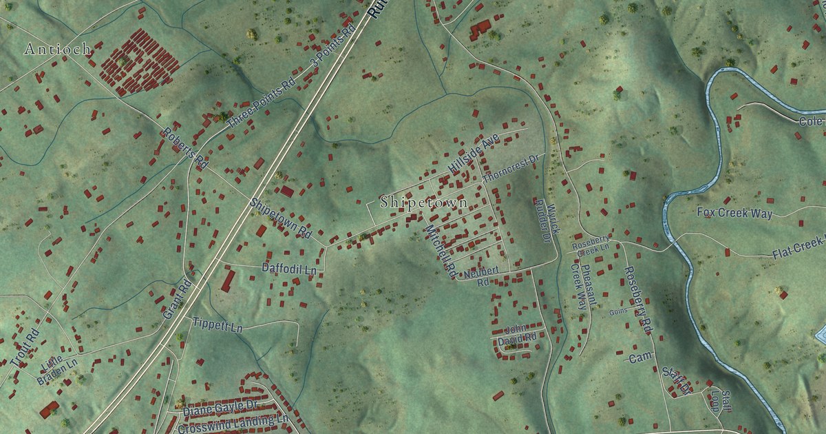
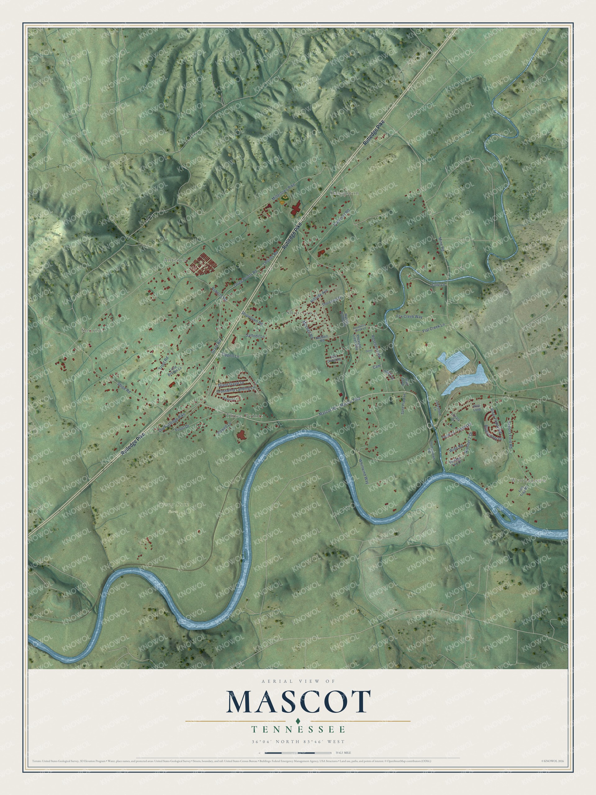
This beautifully detailed map of Mascot, Tennessee was created in 2026 using aerial imagery combined with modern topographical, census, street and landmark data. It’s a one-of-a-kind view of Mascot that combines accurate data with a vintage aesthetic. The map shows every building in its true location, many of the roads carry their names, and the shaded topographic relief shows the shape of the land.
Explore an aerial view of Mascot, Tennessee
On the map you’ll find Wyricktown, Sunrise, Strong Stock Farm, Antioch, Shipetown, Skaggston, and Three Points, along with Rutledge Pike, Mascot Road, Mascot Pike, Hillside Avenue, Diane Gayle Drive, and more. If you look closely you can even find your house accurately drawn in its correct location. Zoom in on the preview to look for yours.
Did you know this piece of Mascot, Tennessee history?
From the Knoxville Focus: "Founded by the American Zinc Company as a company town the community is much like many of the other old East Tennessee mining company towns except that instead of coal fuelling the boom back then it was zinc. Most of the homes in Mascot were originally company-owned homes."
Take a closer look at the Mascot map
Street and place names on the Mascot, Tennessee map
These names are printed on the map of Mascot, Tennessee.
Places: Wyricktown, Sunrise, Strong Stock Farm, Antioch, Shipetown, Skaggston and Three Points.
Streets and roads: Rutledge Pike, Mascot Road, Mascot Pike, Hillside Avenue, Diane Gayle Drive, Millertown Pike, Mine Road, Old Rutledge Pike, Roseberry Road, Shipetown Road, Three Points Road, 3 Points Road.
More street names, A to Z
Alco Loop, Bluebonnet Drive, Cam, Cameron Road, Cole Lane, Crosswind Landing Lane, Daffodil Lane, Fish Trap Road, Flat Creek Lane, Foust Drive, Fox Creek Way, Goins, Grant Road, Howell Lane, John David Road, Library Drive, Limestone Lane, Little Braden Lane, Mitchell Road, Neubert Road, Number 2 Drive, Number Two Drive, Pheasant Creek Way, River Poppy Road, Roberts Road, Roseberry Creek Lane, Sand Plant Lane, Saylors Ford Road, Shipe Road, Staff Drive, Staff Loop, Thomastown Road, Thorncrest Drive, Tippett Lane, Tipple Drive, Tipple Lane, Trout Road, Whirlwind Way, Wide Road, Windsock Lane, Wyrick Rudder Drive.
See the Mascot, Tennessee map on a wall
The Mascot map as an 18 x 24 inch print in a black frame.

This beautifully detailed map of Mascot makes an attractive addition to your office, library, or den, and it can even be used to teach children the geography and history of the area. It also makes a great gift for anyone who grew up in Mascot or moved away. When you’re done exploring, click here to get your copy of the Mascot map.