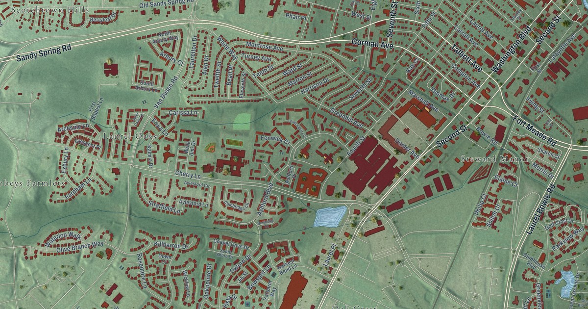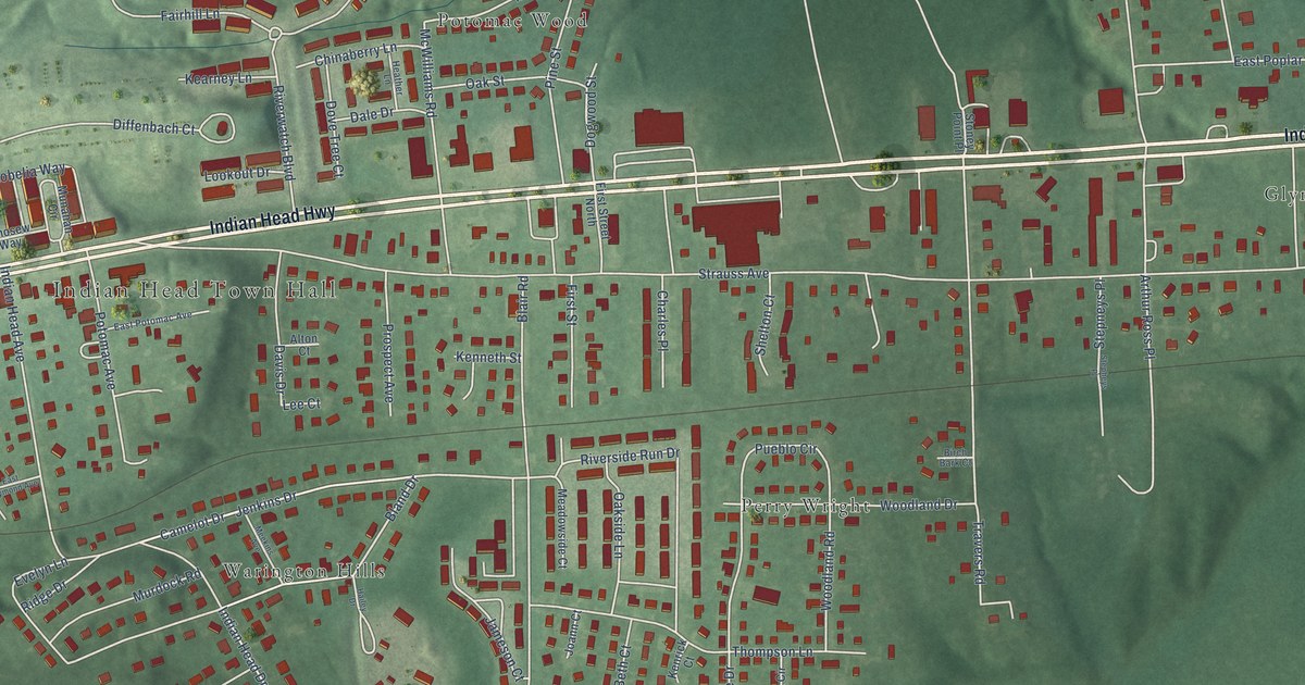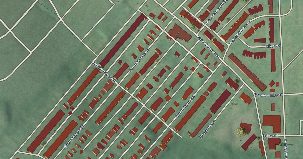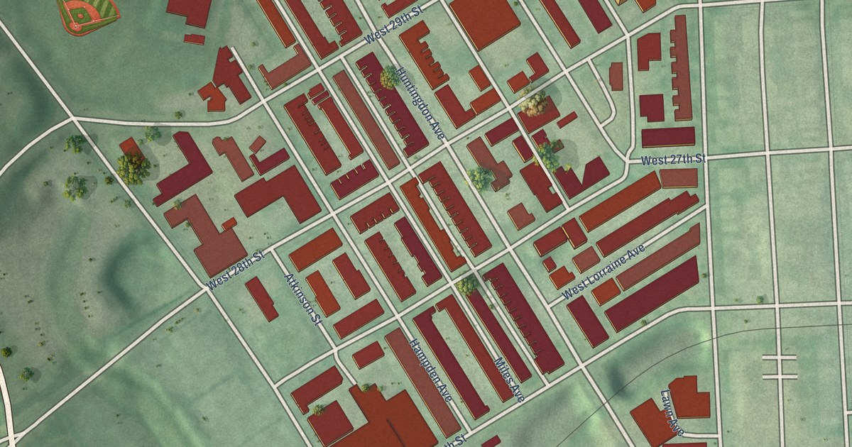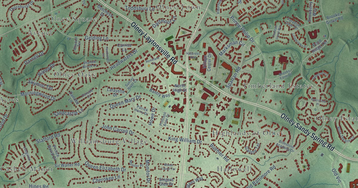
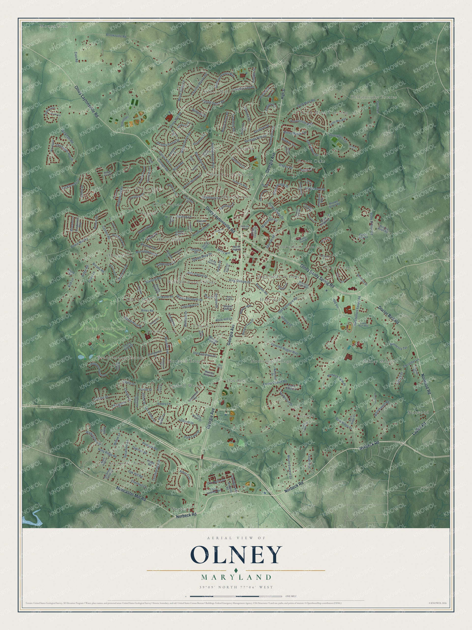
This beautifully detailed map of Olney, Maryland was created in 2026 using aerial imagery combined with modern topographical, census, street and landmark data. It's a modern aerial view of Olney in Montgomery County, Maryland, that combines modern data with a vintage aesthetic. The roads feature printed names, and if you look closely you can find your exact house accurately shown in its correct location.
Explore an aerial view of Olney, Maryland
On this map you'll find Mount Zion, Olney Manor Park, Anscroft, Ashley Manor, Avenel, Briars Acres, Brookemanor Estates, Brookeville Knolls, Cashell Manor, Cashell Woods, Cherry Valley, Cherrywood, and more. Each red shape is a building, so zoom in on the preview and look for yours.
Every town has a first chapter, and Olney is no exception. The Montgomery County Planning Department puts it this way: "The area was first known as Fair Hill, named for Richard Brooke's house built near the crossroads in 1770. By 1800 the area became known as Mechanicsville after artisans and craftsmen flocked to the area."
Olney is a community in Montgomery County.
Take a closer look at the Olney map
Names on this map
These names are printed on this map.
Places: Mount Zion, Olney Manor Park, Anscroft, Ashley Manor, Avenel, Briars Acres, Brookemanor Estates, Brookeville Knolls, Cashell Manor, Cashell Woods, Cherry Valley, Cherrywood, Dellabrooke Estates, Gold Mine Crossing, Hallowell, Highlands of Olney, Manor Oaks, Norbeck, Norbeck Estates, Norbrook Village, Norwood, Oakdale, Olney Acres, Olney Estates, Olney Mill, Olney Oaks, Olney Square, Olney Town, Sycamore Acres, Tanterra, Timberland Estates, Williamsburg Village and Norbeck Country Club.
Streets and roads: Norbeck Road, Norwood Road, Georgia Avenue, Olney Laytonsville Road, Olney Sandy Spring Road, Muncaster Mill Road, Doctor Bird Road, Layhill Road, Shadowridge Drive, Old Baltimore Road, Olney Mill Road, Batchellors Forest Road.
More street names, A to Z
Abbey Manor Drive, Abbey Manor Terrace, Allwood Terrace, Alpenglow Lane, Ampeg Lane, Arbor Crst, Archwood Way, Ashbourne, Bantry Way, Barn Ridge Court, Barn Ridge Drive, Barnsley Lane, Bettswood Drive, Bilney Drive, Birthday Court, Bloomfield Road, Blossom View Drive, Bluebell Lane, Bowie Mill Road, Bradford Road, Bready Road, Briars Court, Briars Road, Bridle Ridge Lane, Brightwood Road, Brimstone Academy Drive, Brooke Farm Drive, Brooke Grove Road, Brooke Meadow Lane, Brookeville Road, Broom Drive, Buehler Road, Carrisa Lane, Carter Mill Way, Cashell Road, Cavalry Drive, Charley Forest Street, Charline Manor Road, Cherokee Lane, Cherry Valley Drive, Chestnut Lane, Chichester House, Clara Downey Avenue, Clover Hill Lane, Continental Drive, Coolidge Avenue, Copperstrip Lane, Cottage Road, Covered Wagon Way, Cross Timber Terrace, Custis Drive, Cutlass Drive, Danube Court, Danube Lane, Darnell Drive, Dartmoor Lane, Dimona Drive, Doc Berlin Drive, Dominion Drive, Dubarry Drive, Dubarry Lane, Dumfries Circle, Dundonnell Way, Dutchess Drive, Emory Church Road, Emory Lane, Ethelwood Terrace, Evangeline Lane, Excaliber Lane, Excaliber Way, Falling Green Road, Fountain Grove Way, Fox Valley Drive, Fox Valley Terrace, Gatsby Terrace, Gelding Lane, George Washington Drive, Gold Mine Road, Gooseneck Terrace, Headwaters Drive, Headwaters Lane, Hedgegrove Terrace, Hennessy Terrace, Heritage Hills Drive, Hickory Knoll Road, High Street, Hillcrest Avenue, Hillcroft Drive, Hines Road, Holberton Lane, Hollow Crst, Holly Ridge Road, Homeland Drive, Honeystone Way, Howe Drive, Ingleside Street, Islander Street, Ivy Lane, Jilrick Street, John Carroll Drive, King William Drive, Kirk Lane, Lafayette Drive, Laughlin Lane, Lehigh Drive, Lescot Street, Lindenwood Drive, Littlebrooke Drive, Little Vista Terrace, Llewellyn Field Road, Longview Lane, Lower Barn Way, Luray Court, Macduff Avenue, Maple Ridge Court, Marksman Circle, Martins Dairy Circle, Meadowland Terrace, Megans Way, Menden Farm Drive, Minuteman Drive, Monitor Drive, Monitor Place, Monty Court, Morningwood Drive, Moss Side Lane, Mount Airey Road, Mount Everest Lane, Mount Olney Lane, Music Grove Court, Norbeck Farm Place, Norbrook Drive, North High Street, Oak Hill Road, Oaktree Road, Old Baltimore Drive, Old Vic, Olney Lane, Overwood Drive, Owens Road, Paradise Cove Terrace, Park Lake Drive, Patrick Henry Drive, Petersfield Place, Pinetree Road, Pond Ridge Terrace, Poplar View Lane, Powder House Drive, Prince David Drive, Prince Philip Drive, Prince Road, Princess Anne Drive, Pyrite Lane, Quarrymen Terrace, Queen Elizabeth Drive, Queen Mary Drive, Rena Court, Ridge Road, Riverton Street, Rock Hill Lane, Rolling Acres Way, Roseneath Street, Rose Theatre Circle, Saint Albert Drive, Sandcastle Lane, Sandy Knoll Drive, Seabiscuit Drive, Shallow Brook Lane, Silo Inn Drive, Singers Glen Drive, Sir Walter Road, Skymist Terrace, Slade School Road, Snowberry Way, Spartan Road, Springarden Street, Stafford Road, Starkey Terrace, Stone Road, Stoney Castle Street, Sundown Farms Way, Sunset River Court, Sutcliff Terrace, Sycamore Grove Court, Sycamore Lane, Tackbrooke Drive, Tanterra Circle, Tanterra Way, Terra Wood Court, Thistlebridge Drive, Thornberry Lane, Thorncroft Terrace, Thornhurst Drive, Toddsbury Lane, Tothill Drive, Treadway Road, Valley Forge Drive, Vandever Street, Viburnum Way, Village Center Drive, Volunteer, Walkingfern Drive, Weatheroak, Wellfleet Drive, Weston Place, Whitehaven Road, Wickham Road, Wilberta Street, Willow Grove Road, Willow Lane, Winding Oak Drive, Winding Stone Circle, Winter Laurel Terrace, Woodgate, Zion Road.
Created by KNOWOL in 2026. The buildings are small red shapes, the roads carry their printed names, and shaded relief shows the shape of the land. The title panel reads "AERIAL VIEW OF OLNEY MARYLAND" with 39°09' NORTH 77°04' WEST.
Hang it in the hallway, the office or the cabin, or give it to someone who left Olney and still calls it home. Open the preview and look for a street you know. See sizes and frames for the Olney map.