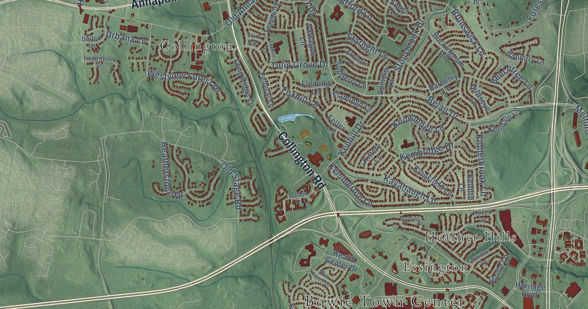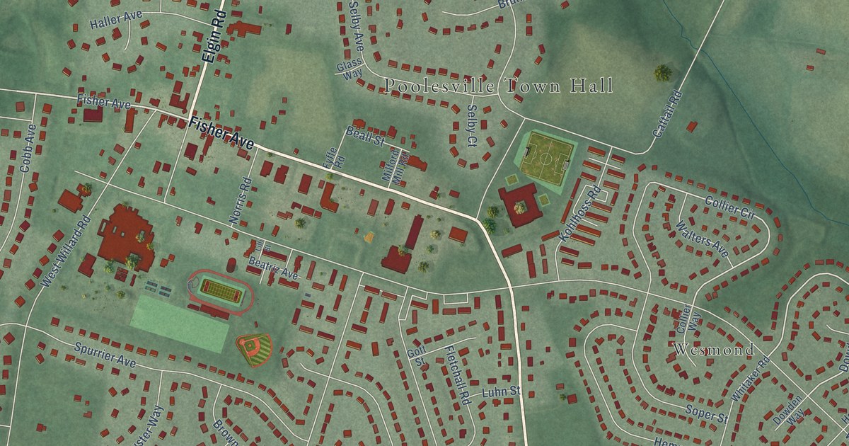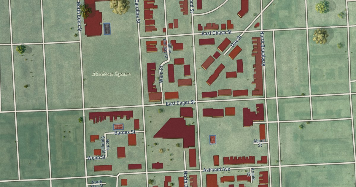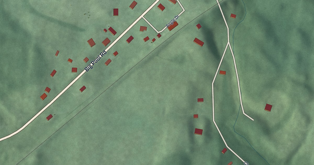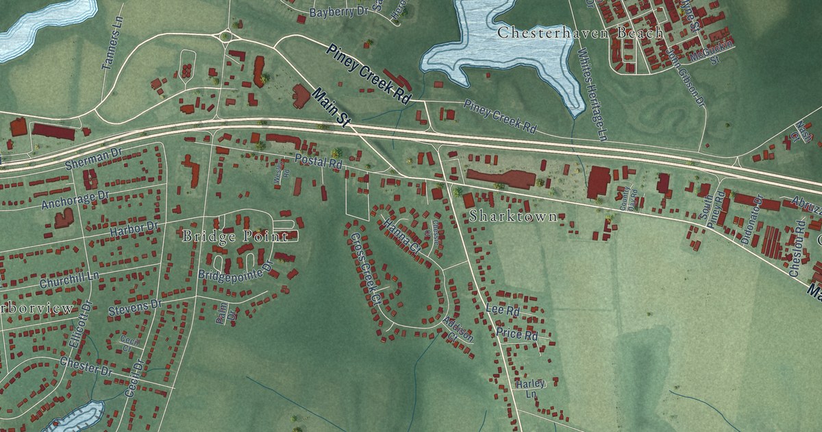
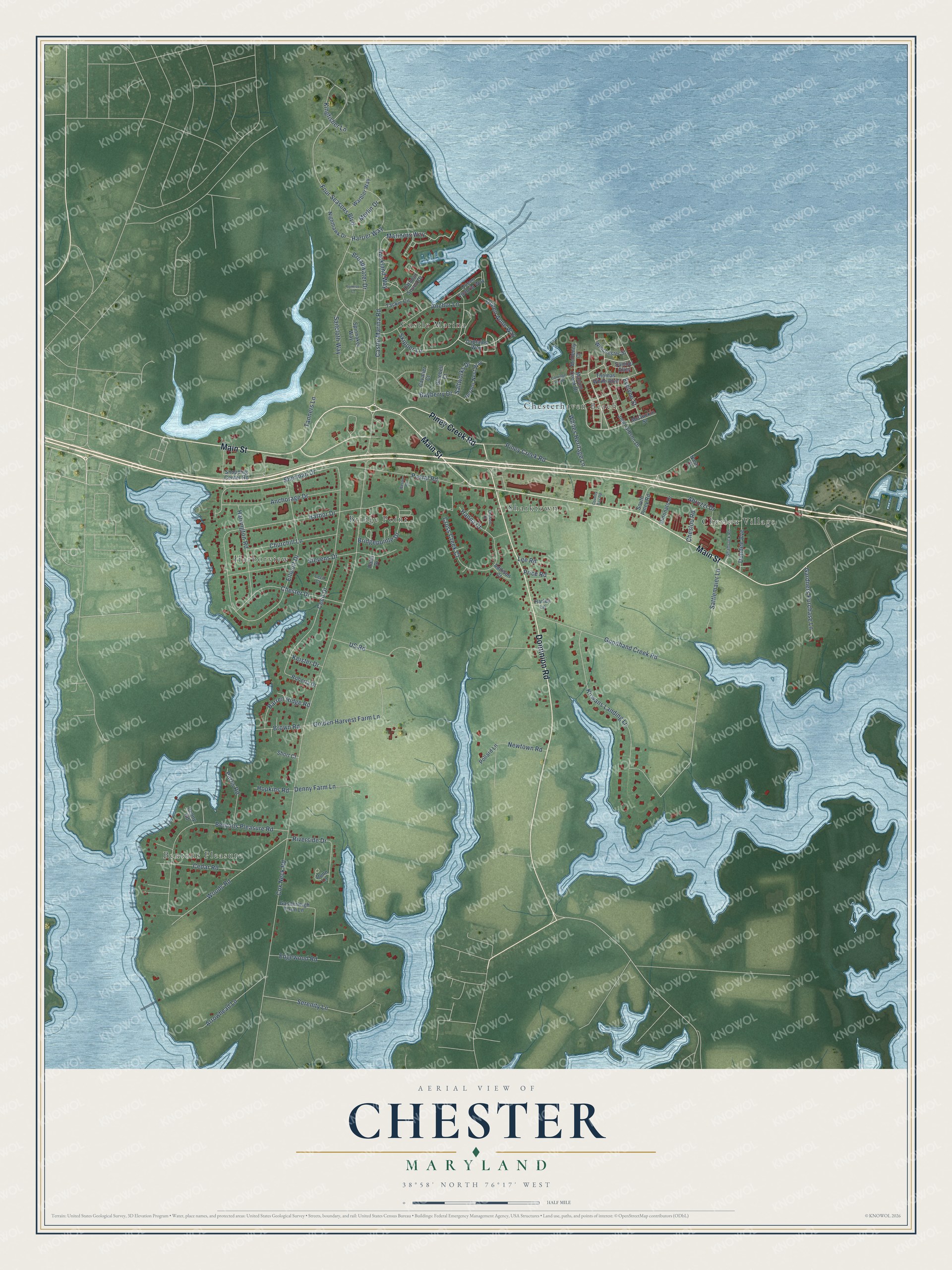
This beautifully detailed map of Chester, Maryland was created in 2026 using aerial imagery combined with modern topographical, census, street and landmark data. It's a modern aerial view of Chester in Queen Anne's County, Maryland, that combines modern data with a vintage aesthetic. The roads feature printed names, and if you look closely you can find your exact house accurately shown in its correct location.
Explore an aerial view of Chester, Maryland
On this map you'll find Harborview, Chesterhaven Beach, Bentons Pleasure, Sharktown, Bridge Point, Cheslou Village, Castle Marina, Main Street, Dominion Road, Piney Creek Road, Skipper Lane, Four Seasons Boulevard, and more. Each red shape is a building, so zoom in on the preview and look for yours.
Every town has a first chapter, and Chester is no exception. Chester began as Sharktown, a settlement south of Piney Creek on Kent Island that was home to ship captains, sailors and oystermen. By 1888, after a post office was set up, the place became known as Chester. Growth picked up again after the Chesapeake Bay Bridge was finished in 1952 and U.S. 50/301 was built. That's from the Maryland Historical Trust.
Chester is a community in Queen Anne's County. The Census Bureau counted 5,003 people here in 2020.
Take a closer look at the Chester map
Names on this map
These names are printed on this map.
Places: Harborview, Chesterhaven Beach, Bentons Pleasure, Sharktown, Bridge Point, Cheslou Village and Castle Marina.
Streets and roads: Main Street, Dominion Road, Piney Creek Road, Skipper Lane, Four Seasons Boulevard, Woods Road, Castle Marina Road, Harbor Drive, Cecil Drive, Sherman Drive, Cox Neck Road, Bentons Pleasure Road.
More street names, A to Z
Abruzzi Drive, Addison Court, Anchorage Drive, Anchor Lane, Arrowhead Lane, Auckland Way, Barren Ridge Road, Bayberry Drive, Bluebell Court, Bridgepointe Drive, Broadwater Drive, Brown Road, Captains Way, Carriage Heath, Cavalier Court, Cecil Court, Cedar Road, Cheslou Road, Chessie Court, Chester Drive, Churchill Lane, Country Day Road, Cross Creek Court, Denny Farm Lane, Denny Road, Didonato Drive, Dundee Avenue, Dunn Lane, Edgewood Road, Ellicott Drive, Evelyne Street, Ganderleigh Farm Lane, Gardners Purchase Lane, Golden Harvest Farm Lane, Goodhand Creek Road, Hanna Court, Harbour Sound Drive, Harley Lane, Harrier Way, Harrington Road, Herons Nest Way, Hopkins Road, John Gibson Drive, Keister Drive, Kingfisher Lane, Kirwans Landing Lane, Lee Road, Macum Creek Drive, Mariners Way, McGuckin Street, McHenny Court, Merlin Drive, Nash Court, Newtown Road, Nighthawk Drive, Palm Drive, Parks Road, Pollard Lane, Postal Road, Price Road, Queen Anne Way, Queen Victoria Way, Riverside Drive, Roberta Drive, Sailcloth Way, Saltworks Drive, Samuel Alley, Sattlemaier Lane, Serenity Lane, Shamrock Road, Shopping Center Road, Short Court, South Piney Road, Spinnaker Way, Stevens Drive, Sunrise Court, Tackle Circle, Tanners Lane, Thomas White Boulevard, US Road, Warbler Way, Wesley Road, Whites Heritage Lane, Winchester Street.
See it on a wall
The Chester map as a framed print. Swipe for more.


Created by KNOWOL in 2026. The buildings are small red shapes, the roads carry their printed names, and shaded relief shows the shape of the land. The title panel reads "AERIAL VIEW OF CHESTER, MARYLAND" with 38°58' NORTH 76°17' WEST.
Hang it in the hallway, the office or the cabin, or give it to someone who left Chester and still calls it home. Open the preview and look for a street you know. See sizes and frames for the Chester map.