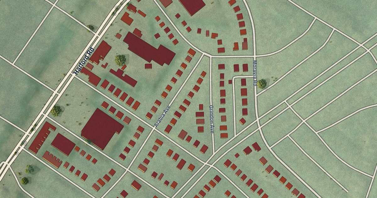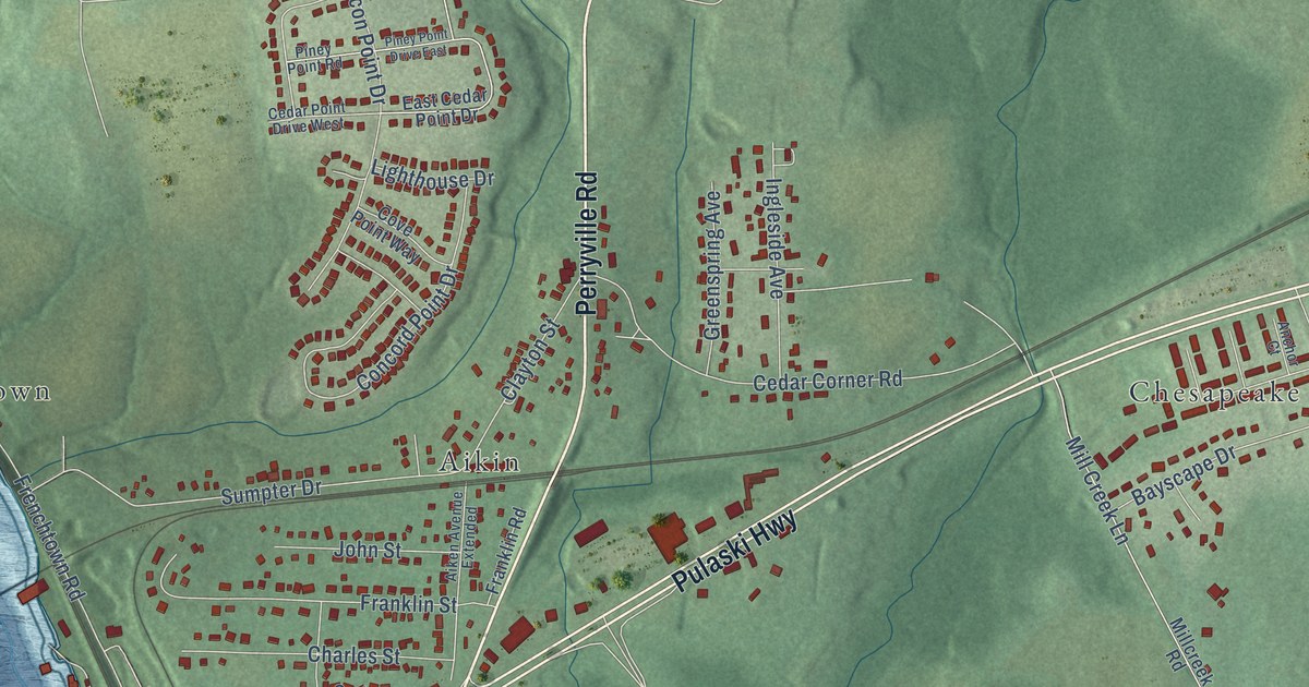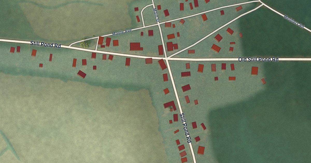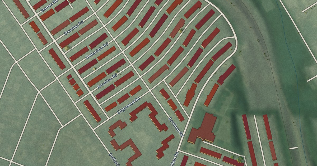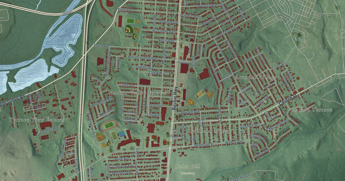
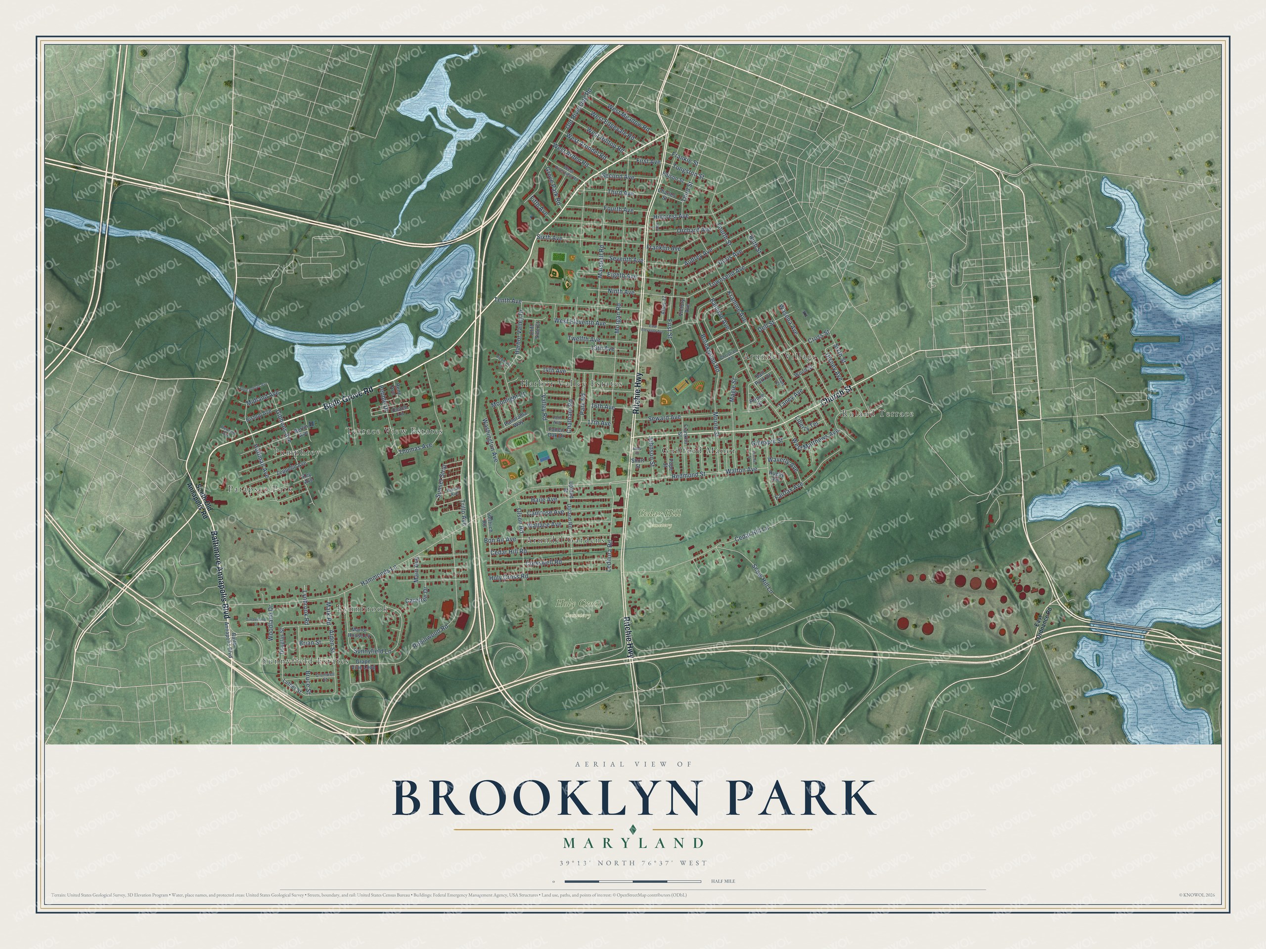
This beautifully detailed map of Brooklyn Park, Maryland was created in 2026 using aerial imagery combined with modern topographical, census, street and landmark data. It's a modern aerial view of Brooklyn Park in Anne Arundel County, Maryland, that combines modern data with a vintage aesthetic. The roads feature printed names, and if you look closely you can find your exact house accurately shown in its correct location.
Explore an aerial view of Brooklyn Park, Maryland
On this map you'll find Cedar Hill Cemetery, Holy Cross Cemetery, Sunnyfield Estates, Arundel Village, Pumphrey, Harbor Valley Estates, Guilford Manor, Terrace View Estates, Lynnbrook, Arundel Gardens, Patapsco Park, Roland Terrace, and more. Each red shape is a building, so zoom in on the preview and look for yours.
Here is a piece of Brooklyn Park history. Brooklyn was laid out in 1851 by the Patapsco Company, a group of Baltimore businessmen, and many of its first landowners were German immigrants. Henry Ballman's brick house in Brooklyn Park, built about 1870 on a rise overlooking the Patapsco River and Baltimore, may be the only building left from those earliest days. That's from the Maryland Historical Trust.
Brooklyn Park is a community in Anne Arundel County. The Census Bureau counted 16,112 people here in 2020.
Take a closer look at the Brooklyn Park map
Names on this map
These names are printed on this map.
Places: Cedar Hill Cemetery, Holy Cross Cemetery, Sunnyfield Estates, Arundel Village, Pumphrey, Harbor Valley Estates, Guilford Manor, Terrace View Estates, Lynnbrook, Arundel Gardens, Patapsco Park and Roland Terrace.
Streets and roads: Belle Grove Road, Baltimore Annapolis Boulevard, Ritchie Highway, Church Street, Hammonds Lane, West Eleventh Avenue, Valley Road, Townsend Avenue, Lednura Road, Main Avenue, Morgan Road, Marshall Road.
More street names, A to Z
13th Avenue, 14th Avenue, 16th Avenue, 17th Avenue, 18th Avenue, Alden Street, Alley 5, Alley 17, Alley 45, Audrey Avenue, Ballman Avenue, Ball Park Drive, Balto Annapolis Boulevard, Berlin Avenue, Biscay Avenue, Bishop Avenue, Bon Air Avenue, Brian Street, Brookwood Road, Bruce Street, Cals Court, Camrose Avenue, Carefree Drive, Cedar Hill Lane, Cedar Hill Road, Charles Street, Chatham Road, Christian Road, Cliff Side Court, Coach Lane, Cresswell Road, Cromwell Street, Cross Street, Dell Street, Disney Avenue, Doris Avenue, Douglas Street, East Eleventh Avenue, East Ordnance Road, Edison Street, Eighth Avenue, Fairfax Avenue, Fallen Oak Drive, Fifth Avenue, First Avenue, First Street, Fourth Avenue, Fourth Street, Frankle Street, Franklin Avenue, Franklin Street, Gibbons Avenue, Gillespie Street, Gischel Street, Grape Vine Loop, Grove Park Road, Haile Avenue, Harbor Valley Drive, Helfrich Road, Henson Avenue, Hillcrest Avenue, Hoffman Avenue, Holy Cross Road, Johnson Street, Key Avenue, Kramme Avenue, Liberty Terrace, Luther Street, Lynbrook Road, Magie Street, Manor House Lane, Mark Road, Midland Avenue, Moonlight Court, Moore Street, Ninth Avenue, Old Riverside Road, Olson Road, Orchard Avenue, Panorama Way, Park Road, Pebble Drive, Piedmont Court, Pope Street, Prince Street, Redmond Street, Rene Avenue, Robinwood Road, Rugby Avenue, Ruth Street, Second Avenue, Seventh Avenue, Seward Avenue, Shenandoah Avenue, Short Street, Sixth Avenue, Sixth Street, Snow Hill Lane, South Old Annapolis Road, Sunnyfield Lane, Sunset Strip, Taney Avenue, Tenth Avenue, Third Avenue, Third Street, Thomas Avenue, Timberland Court, Trillo Avenue, Tungston Street, Twelfth Avenue, Upland Road, Upland Street, Victory Avenue, Wallace Avenue, Walton Avenue, Wasena Avenue, Washington Avenue, Waverly Avenue, West Arden Road, West Arundel Road, West Edgevale Road, West Hilltop Road, West Matthews Avenue, West Meadow Road, West Riverview Road, Woodland Drive, Wood Street, Zeppelin Avenue.
See it on a wall
The Brooklyn Park map as a framed print. Swipe for more.


Created by KNOWOL in 2026. The buildings are small red shapes, the roads carry their printed names, and shaded relief shows the shape of the land. The title panel reads "AERIAL VIEW OF BROOKLYN PARK, MARYLAND" with 39°13' NORTH 76°37' WEST.
It suits a den, a classroom or a front hall, and it makes a gift for anyone with Brooklyn Park roots. Open the preview and find the block you know. See sizes and frames for the Brooklyn Park map.