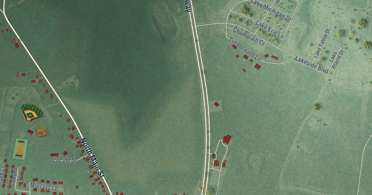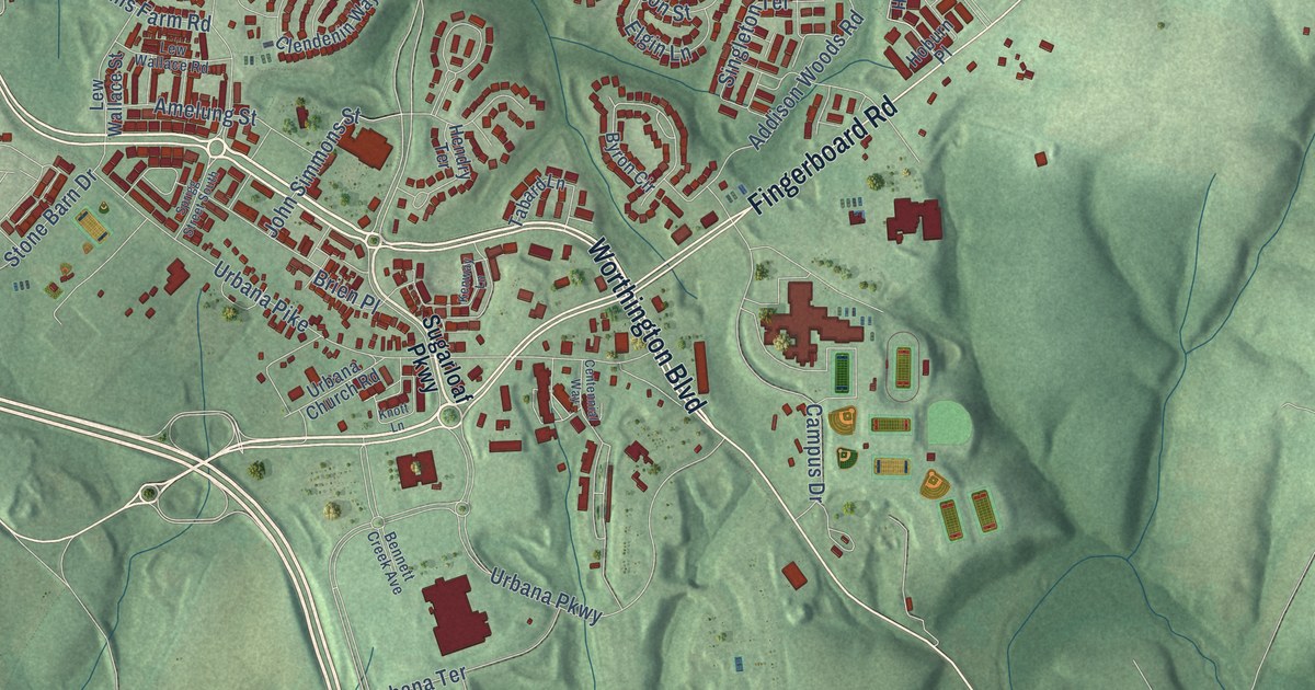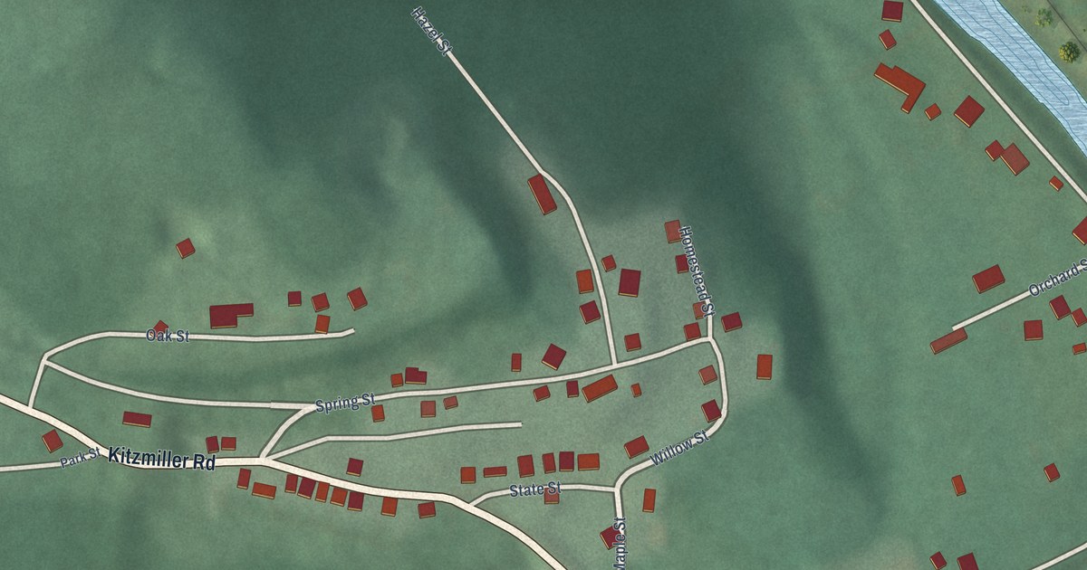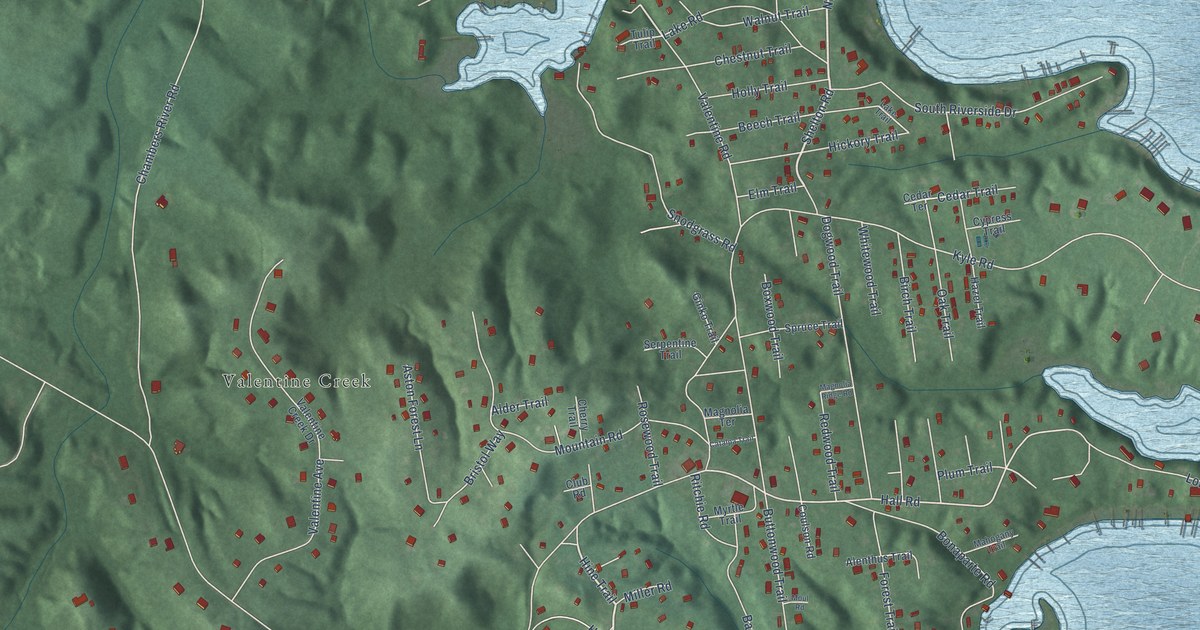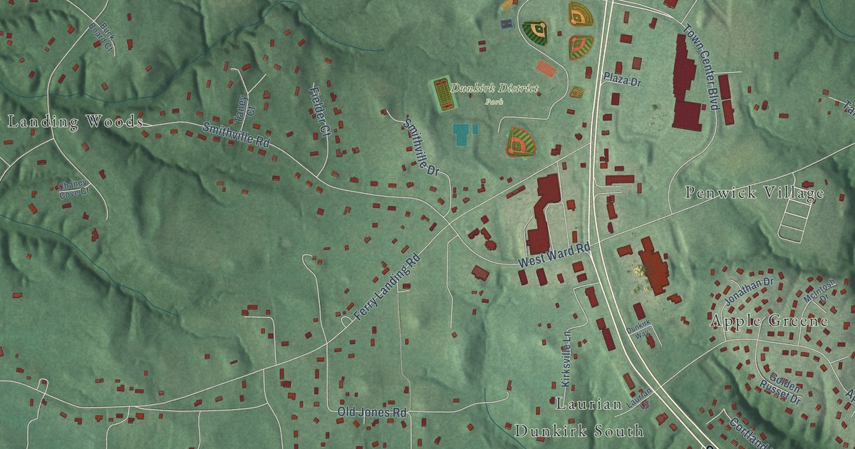
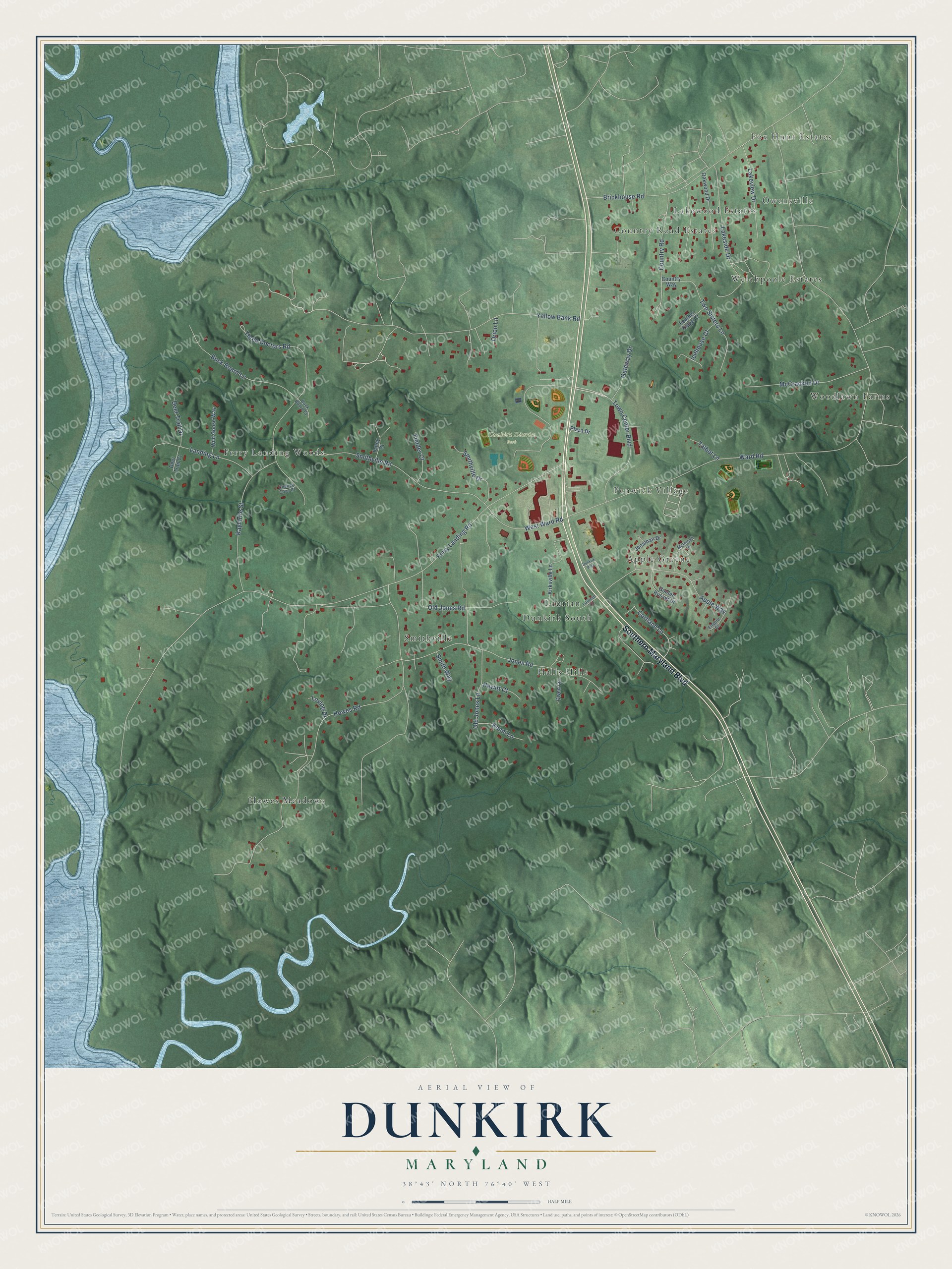
This beautifully detailed map of Dunkirk, Maryland was created in 2026 using aerial imagery combined with modern topographical, census, street and landmark data. It's a modern aerial view of Dunkirk in Calvert County, Maryland, that combines modern data with a vintage aesthetic. The roads feature printed names, and if you look closely you can find your exact house accurately shown in its correct location.
Explore an aerial view of Dunkirk, Maryland
On this map you'll find Dunkirk District Park, Howes Meadows, Fox Hunt Estates, Smithville, Woodlawn Farms, Dunkirk South, Ferry Landing Woods, Country Road Estates, Apple Greene, Halls Hills, Owensville, Welchpoole Estates, and more. Each red shape is a building, so zoom in on the preview and look for yours.
Dunkirk is a community in Calvert County. The Census Bureau counted 2,431 people here in 2020. Dunkirk sits about 4 miles west of Owings, 4 miles east of Croom and 5 miles west of Friendship. The map prints the town name in its title panel, with the coordinates below it.
Take a closer look at the Dunkirk map
Names on this map
These names are printed on this map.
Places: Dunkirk District Park, Howes Meadows, Fox Hunt Estates, Smithville, Woodlawn Farms, Dunkirk South, Ferry Landing Woods, Country Road Estates, Apple Greene, Halls Hills, Owensville, Welchpoole Estates, Lakewood Estates, Penwick Village and Laurian.
Streets and roads: Southern Maryland Boulevard, Town Center Boulevard, Cortland Lane, Ward Road, Ferry Landing Road, Howes Road, Three Doctors Road, Yellow Bank Road, Jones Road, Brickhouse Road, Smithville Road, Apple Way.
More street names, A to Z
Buck Board Court, Buck Board Lane, Chaney Cove Court, Country Road, Country Way, Deer Trail Court, Deer Trail Drive, Dunkirk Way, Empire Court, Feather Ridge Court, Fielder Court, Gateway Drive, Golden Russet Drive, Hewitt Court, Icehouse Court, Jonathan Drive, Kaylorite Street, Kenni Lane, Kirksville Lane, Lakeside Drive, Lakeview Drive, Landing Lane, Laurian Lane, Loving Drive, McCracken Drive, McIntosh Drive, Oakwood Drive, Old Jones Lane, Old Jones Road, Orion Lane, Owen Lane, Plaza Drive, Smithville Drive, Smith Way, Talbot Lane, Taney Court, Two Sisters Lane, West Ward Road, Wild Goose Way.
See it on a wall
The Dunkirk map as a framed print. Swipe for more.


Created by KNOWOL in 2026. The buildings are small red shapes, the roads carry their printed names, and shaded relief shows the shape of the land. The title panel reads "AERIAL VIEW OF DUNKIRK, MARYLAND" with 38°43' NORTH 76°40' WEST.
It suits a den, a classroom or a front hall, and it makes a gift for anyone with Dunkirk roots. Open the preview and find the block you know. See sizes and frames for the Dunkirk map.