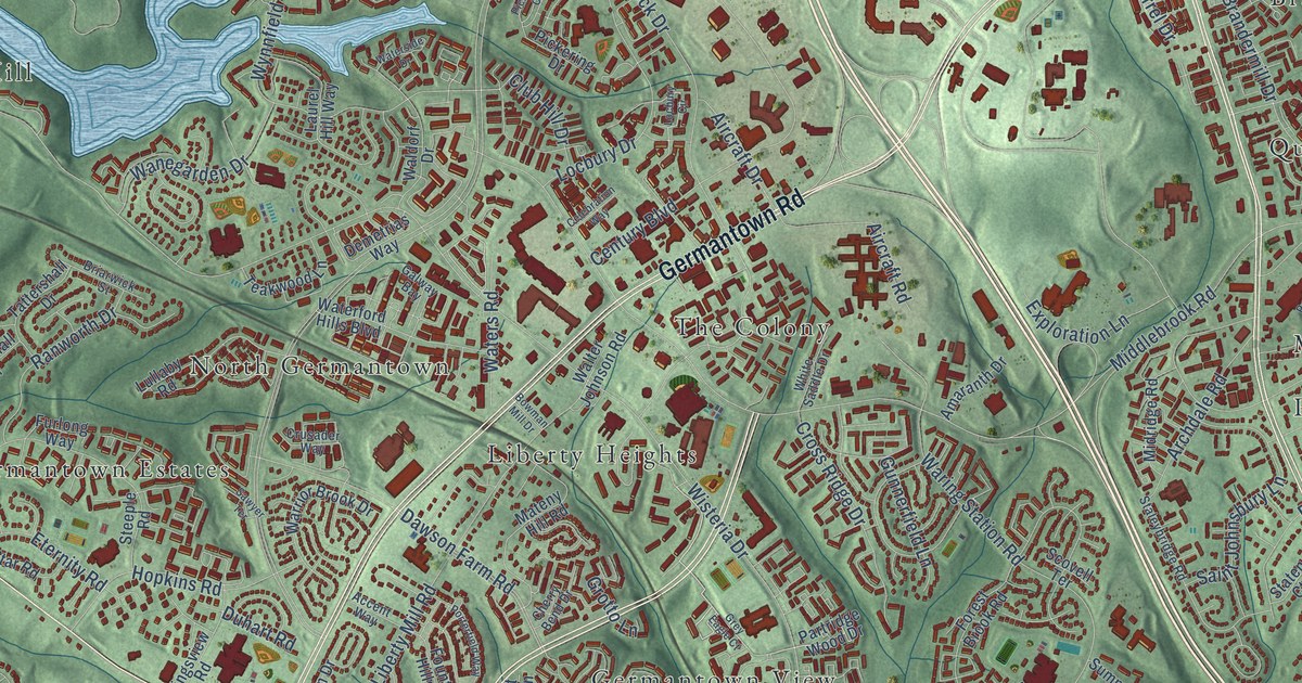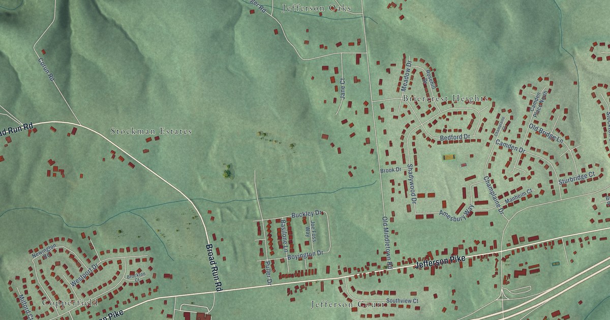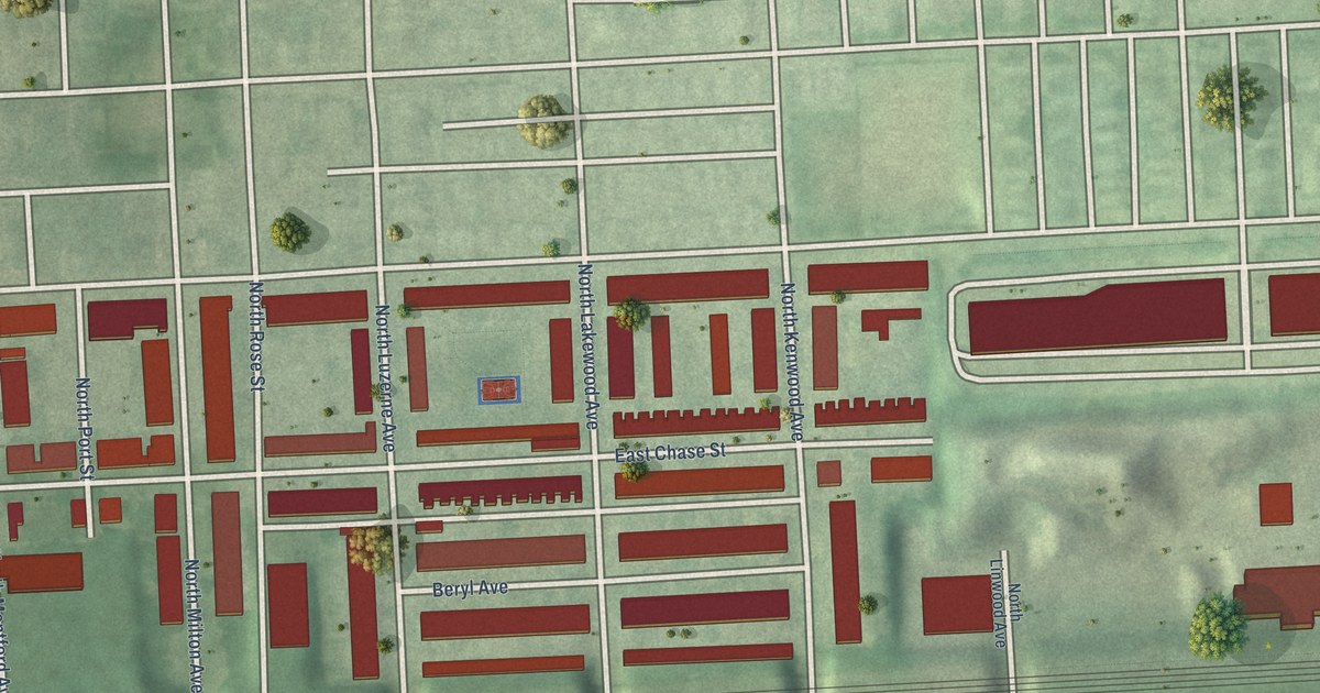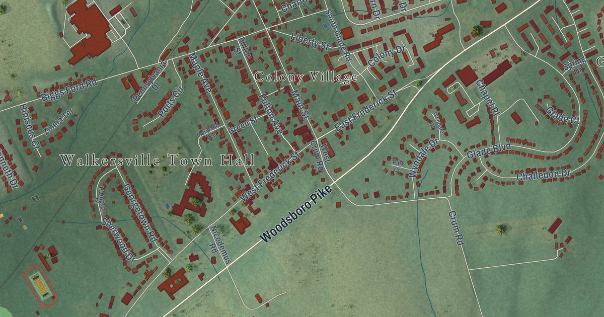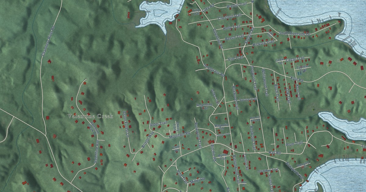
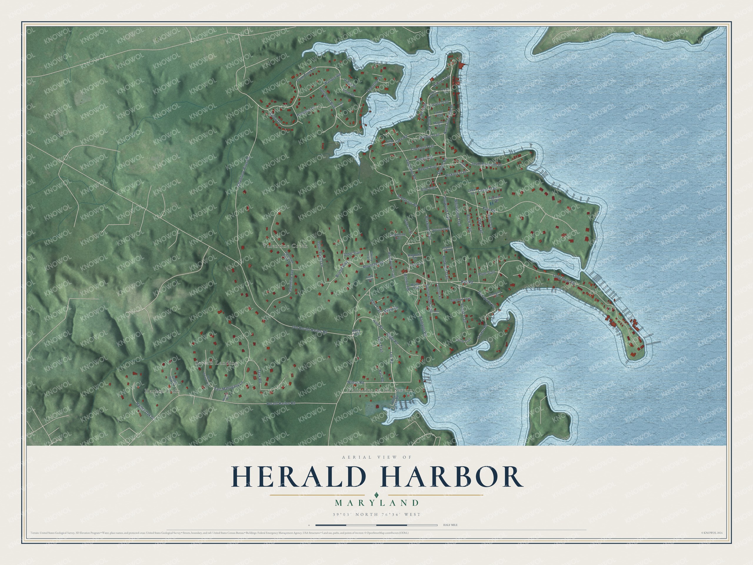
This beautifully detailed map of Herald Harbor, Maryland was created in 2026 using aerial imagery combined with modern topographical, census, street and landmark data. It's a modern aerial view of Herald Harbor in Anne Arundel County, Maryland, that combines modern data with a vintage aesthetic. The roads feature printed names, and if you look closely you can find your exact house accurately shown in its correct location.
Explore an aerial view of Herald Harbor, Maryland
On this map you'll find Severn Landing, Valentine Creek, Palisades on the Severn, Harbor Oaks, North Riverside Drive, Willow Trail, Shelton Road, Hine Trail, Lee Road, Plum Creek Drive, Hall Road, Herald Harbor Road, and more. Each red shape is a building, so zoom in on the preview and look for yours.
Herald Harbor is a community in Anne Arundel County. The Census Bureau counted 2,869 people here in 2020. Herald Harbor sits about 2 miles southeast of Arden on the Severn, 2 miles northeast of Crownsville and 3 miles south of Severna Park. The map prints the town name in its title panel, with the coordinates below it.
Take a closer look at the Herald Harbor map
Names on this map
These names are printed on this map.
Places: Severn Landing, Valentine Creek, Palisades on the Severn and Harbor Oaks.
Streets and roads: North Riverside Drive, Willow Trail, Shelton Road, Hine Trail, Lee Road, Plum Creek Drive, Hall Road, Herald Harbor Road, Kyle Road, Chambers River Road, Old Herald Harbor Road, Long Point Road.
More street names, A to Z
Alder Trail, Alenthus Trail, Aston Forest Lane, Bargagni Road, Beech Trail, Birch Trail, Bonaparte Road, Boxwood Trail, Bristol Way, Buttonwood Trail, Catalpa Trail, Cedar Terrace, Cedar Trail, Cherry Trail, Chestnut Trail, Circle Trail, Club Road, Coulson Road, Cypress Trail, Daisy Trail, Diggs Road, Dogwood Trail, East Mahogany Lane, Eddis Overlook, Eddy Road, Elm Trail, Fern Trail, Forest Trail, Ginko Trail, Great Oak Court, Hampton Drive, Harbor Oak Drive, Hart Road, Hazel Trail, Hemlock Trail, Henry Lee Road, Hickory Trail, Hine Road, Holly Trail, Hollywood Boulevard, Lake Path, Lake Road, Lake Trail, Laurel Trail, Locust Trail, Magnolia Ridge Road, Magnolia Terrace, Mahogany Trail, Maple Trail, Mervin Road, Miller Road, Moul Road, Mountain Road, Myrtle Trail, Oak Trail, Plum Drive, Plum Trail, Redwood Trail, Ridge Place, Ritchie Road, Rosewood Trail, Serpentine Trail, Severn Road, Snodgrass Road, South Riverside Drive, Spruce Trail, Teak Road, Tulip Trail, Valentine Avenue, Valentine Creek Drive, Valentine Road, Valentine Vw, Valley Drive, Vine Street, Wallace Road, Walnut Trail, West Mahogany Lane, Whitewood Trail, Wilson Road.
See it on a wall
The Herald Harbor map as a framed print. Swipe for more.


Created by KNOWOL in 2026. The buildings are small red shapes, the roads carry their printed names, and shaded relief shows the shape of the land. The title panel reads "AERIAL VIEW OF HERALD HARBOR, MARYLAND" with 39°03' NORTH 76°34' WEST.
It suits a den, a classroom or a front hall, and it makes a gift for anyone with Herald Harbor roots. Open the preview and find the block you know. See sizes and frames for the Herald Harbor map.