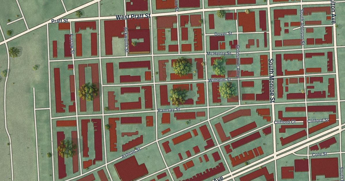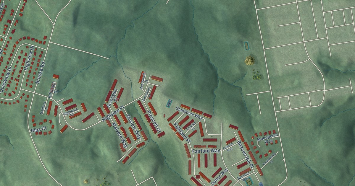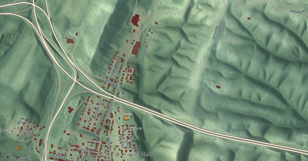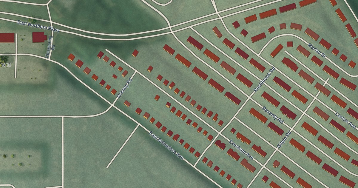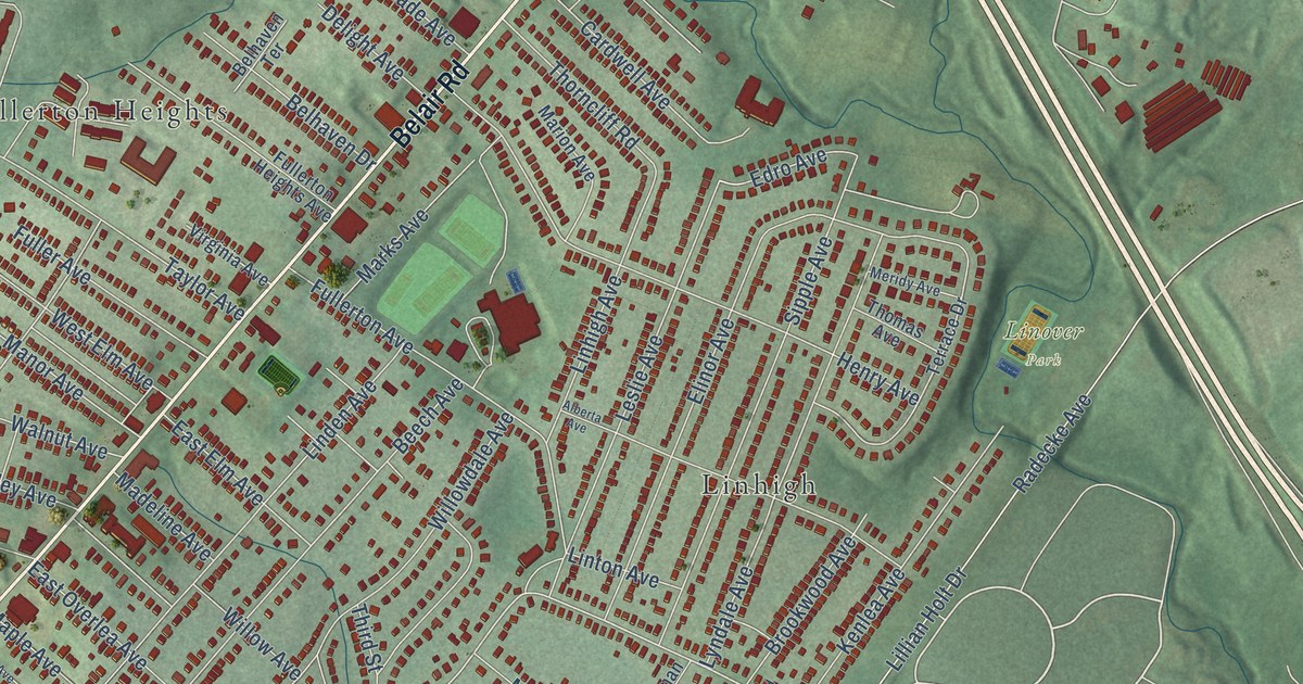
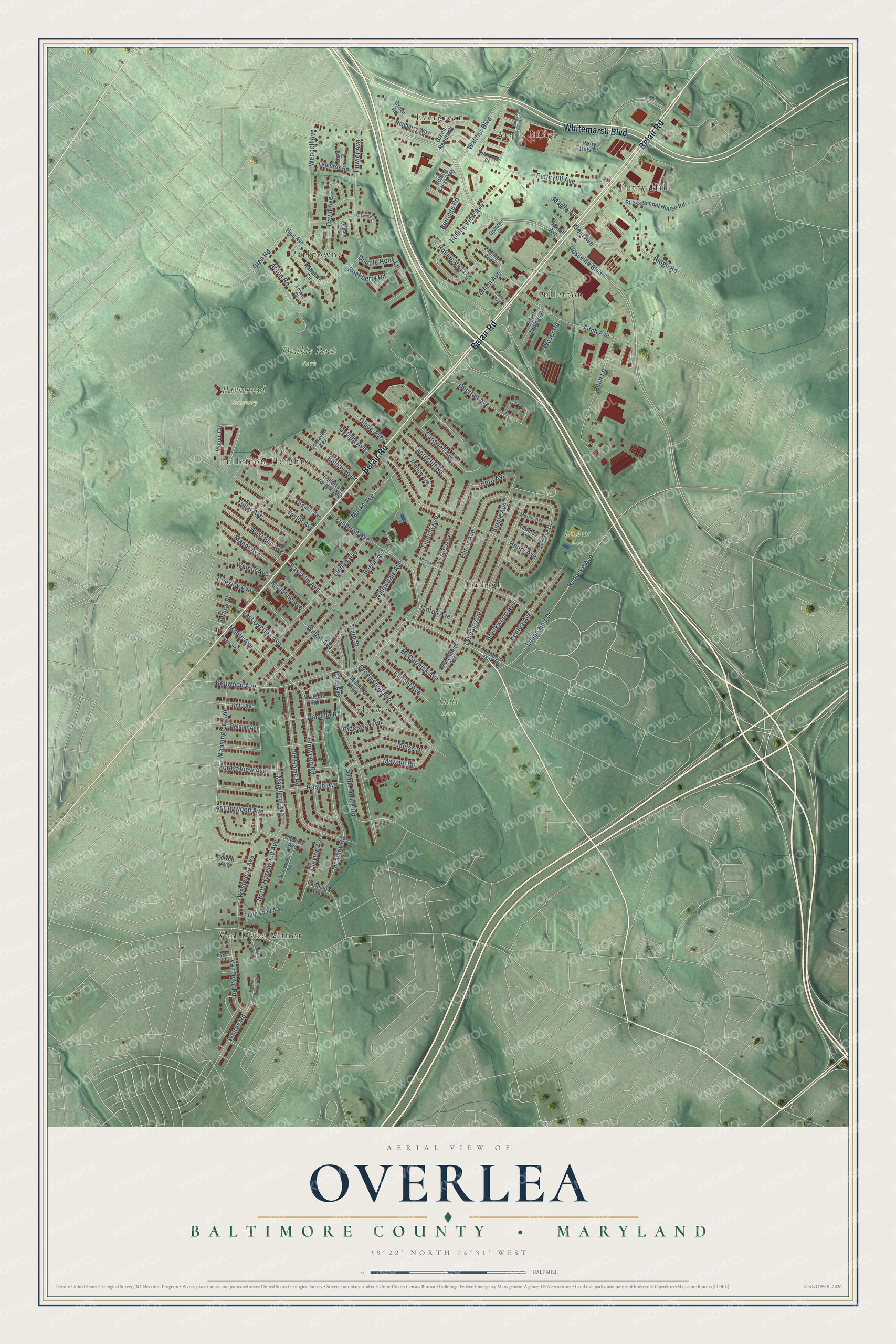
This beautifully detailed map of Overlea, Maryland was created in 2026 using aerial imagery combined with modern topographical, census, street and landmark data. It's a modern aerial view of Overlea in Baltimore County, Maryland, that combines modern data with a vintage aesthetic. The roads feature printed names, and if you look closely you can find your exact house accurately shown in its correct location.
Explore an aerial view of Overlea, Maryland
On this map you'll find Double Rock Park, Holt Park, Linover Park, Parkwood Cemetery, Apple Ridge, Elmwood, Evergreen, Fullerton, Fullerton Heights, Linhigh, Parktowne, Putty Hill, and more. Each red shape is a building, so zoom in on the preview and look for yours.
Here is a piece of Overlea history, in the words of the record. The Overlea Community Association puts it this way: "In 1895, the Kennard Land Company began development of Overlea when they bought Lange’s Farm. The streets were mapped out and named after trees: Spruce, Ash, Cedar, Hickory, Chestnut, Walnut, Willow, Beech, Poplar, Elm and Linden."
Overlea is a community in Baltimore County.
Take a closer look at the Overlea map
Names on this map
These names are printed on this map.
Places: Double Rock Park, Holt Park, Linover Park, Parkwood Cemetery, Apple Ridge, Elmwood, Evergreen, Fullerton, Fullerton Heights, Linhigh, Parktowne, Putty Hill and Van Dyke Manor.
Streets and roads: Belair Road, Whitemarsh Boulevard, Rossville Boulevard, Putty Hill Avenue, Kenwood Avenue, Whitby Road, Elinor Avenue, Dale Avenue, Fowler Avenue, Old Home Road, Linden Avenue, Henry Avenue.
More street names, A to Z
Acton Road, Alberta Avenue, Asbury Avenue, Beech Avenue, Belhaven Drive, Belhaven Terrace, Belmar Avenue, Belridge Road, Brookwood Avenue, Bucks School House Road, Bykes Court, Cardwell Avenue, Charles Avenue, Chesley Avenue, Clayton Avenue, Councilman Avenue, Dakin Court, Danville Road, David Avenue, Delight Avenue, Double Rock Lane, East Elm Avenue, East Overlea Avenue, Edro Avenue, Elmont Avenue, Elmwood Road, Emelia Avenue, Emelia Woods Court, Farmview Avenue, Fitch Avenue, Fitch Lane, Forest View Avenue, Fuller Avenue, Fullerton Avenue, Fullerton Heights Avenue, Glade Avenue, Glenmore Avenue, Glen Road, Grandee Court, Green Needle Drive, Greenwood Avenue, Grove Road, Hallmark Circle, Hiss Avenue, Kelbark Court, Kenlea Avenue, Klein Avenue, Kolb Avenue, Lambros Road, Leslie Avenue, Lillian Holt Drive, Lincoln Avenue, Linhigh Avenue, Linton Avenue, Losrac Court, Lyndale Avenue, Madeline Avenue, Mannington Avenue, Manor Avenue, Maple Avenue, Marglenn Avenue, Marion Avenue, Marks Avenue, Martin Avenue, Mawani Road, McCormick Avenue, Meadow Road, Meise Drive, Meridy Avenue, Mopec Circle, Nicole Grace Drive, North Hazelwood Avenue, Oakhill Avenue, Overton Avenue, Parkwind Court, Perry Hills Court, Powell Avenue, Prague Avenue, Radecke Avenue, Raspe Avenue, Redberry Way, Ridge Road, Ridgeway Avenue, Ridgeway Drive, Rockberry Road, Rolling Crest Way, Rolling View Avenue, Rolling Vista Court, Saint Patrick Road, Saint Thomas Drive, Sipple Avenue, Southwood Avenue, Springwood Avenue, Spruce Street, Taylor Avenue, Terrace Drive, Third Street, Thomas Avenue, Thorncliff Road, Townridge Court, Trumps Mill Road, Van Dyke Road, Vernon Avenue, Virginia Avenue, Walcott Road, Walnut Avenue, Walther Boulevard, Wendell Avenue, West Elm Avenue, Westwood Avenue, Wever Road, Willow Avenue, Willowdale Avenue, Willowwood Avenue.
Created by KNOWOL in 2026. The buildings are small red shapes, the roads carry their printed names, and shaded relief shows the shape of the land. The title panel reads "AERIAL VIEW OF OVERLEA BALTIMORE COUNTY • MARYLAND" with 39°22' NORTH 76°31' WEST.
It suits a den, a classroom or a front hall, and it makes a gift for anyone with Overlea roots. Open the preview and find the block you know. See sizes and frames for the Overlea, Baltimore County map.