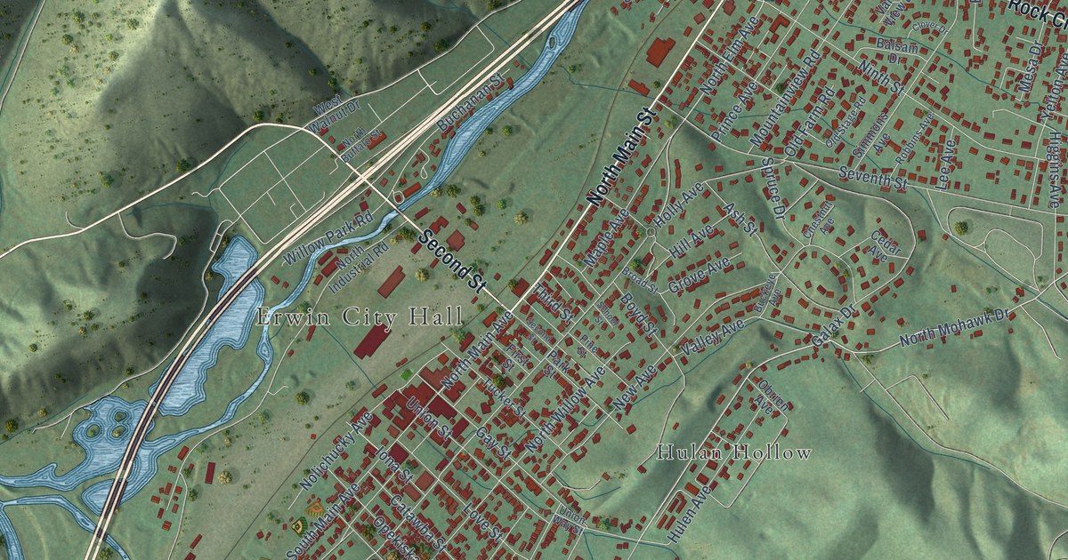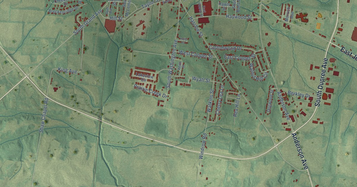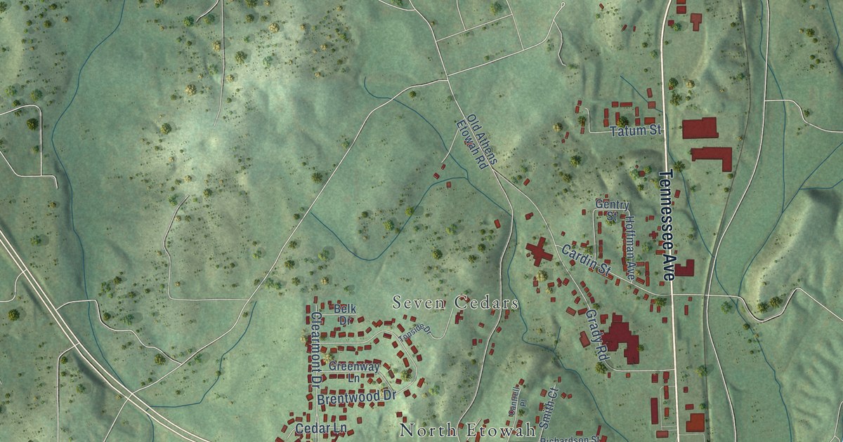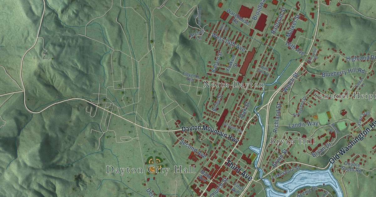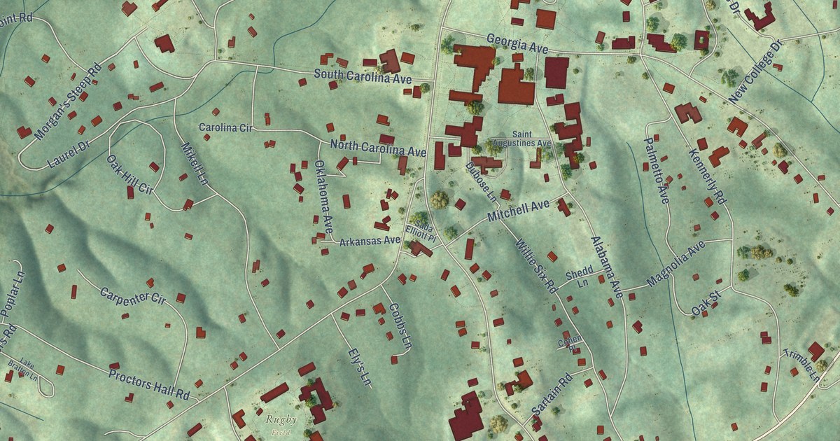
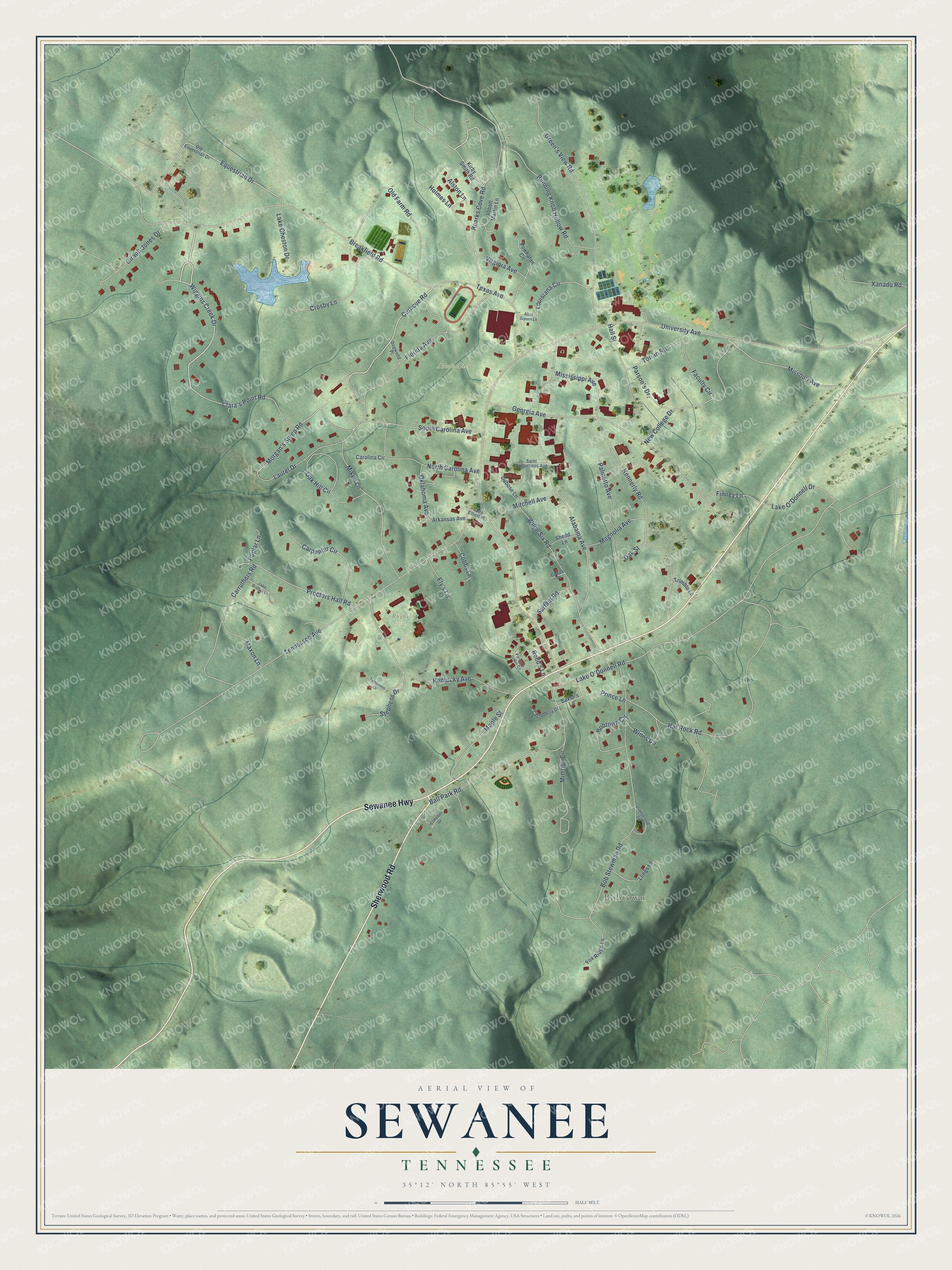
This beautifully detailed map of Sewanee, Tennessee was created in 2026 using aerial imagery combined with modern topographical, census, street and landmark data. It's a modern aerial view of Sewanee in Franklin County, Tennessee, that combines modern data with a vintage aesthetic. The roads feature printed names, and if you look closely you can find your exact house accurately shown in its correct location.
Explore an aerial view of Sewanee, Tennessee
On this map you'll find Bobtown, Abbo's Alley, Rugby Field, Sherwood Road, Sewanee Highway, Wiggins Creek Drive, Curlicue Road, Morgan's Steep Road, University Avenue, Tennessee Avenue, Lake O'Donnell Road, Breakfield Road, and more. Each red shape is a building, so zoom in on the preview and look for yours.
Sewanee has a story worth telling. The Internet Archive puts it this way: "Sewanee, at University Place, has a fine railroad depot and a three-story business
block, built of stone."
Sewanee is a community in Franklin County. The Census Bureau counted 2,535 people here in 2020.
Take a closer look at the Sewanee map
Names on this map
These names are printed on this map.
Places: Bobtown, Abbo's Alley and Rugby Field.
Streets and roads: Sherwood Road, Sewanee Highway, Wiggins Creek Drive, Curlicue Road, Morgan's Steep Road, University Avenue, Tennessee Avenue, Lake O'Donnell Road, Breakfield Road, Bob Stewman Road, Georgia Avenue, Hat Rock Road.
More street names, A to Z
Abbott Martin Lane, Alabama Avenue, Allan Gipson Lane, Alston Lane, Arkansas Avenue, Baker's Lane, Ball Park Road, Bobtown Circle, Campbell Drive, Carolina Circle, Carpenter Circle, Carruthers Road, Castleberry Drive, Clara's Point Road, Cobbs Lane, Cohen Place, Crosby Lane, Cumberland Circle, Dogwood Place, Dubose Lane, Ely's Lane, Equestrian Drive, Faculty Circle, Finney Lane, Florida Avenue, Fox Ridge Lane, Girault Jones Drive, Green's View Road, Hall Street, Holmes Lane, Kennerly Road, Kentucky Avenue, Kirby Smith Road, Lake Bratton Lane, Lake Cheston Drive, Lake O'Donnell Drive, Laurel Drive, Longs Lane, Louisiana Circle, Magnolia Avenue, Maple Street, Maxon Lane, Mikell Lane, Mimosa Circle, Mississippi Avenue, Missouri Avenue, Mitchell Avenue, New College Drive, North Carolina Avenue, Oak Hill Circle, Oak Street, Oklahoma Avenue, Old Equestrian Drive, Old Farm Road, Palmetto Avenue, Parson's Drive, Parson's Green Circle, Poplar Lane, Powhatan Circle, Prince Lane, Proctors Hall Road, Reed's Lane, Roarks Cove Road, Running Knob Hollow Road, Sada Elliott Place, Saint Augustines Avenue, Sartain Road, Shedd Lane, South Carolina Avenue, Stephens Drive, Texas Avenue, Tomlinson Lane, Torian Road, Trimble Lane, Virginia Avenue, Willie Six Road, Winns Circle, Xanadu Road.
Created by KNOWOL in 2026. The buildings are small red shapes, the roads carry their printed names, and shaded relief shows the shape of the land. The title panel reads "AERIAL VIEW OF SEWANEE TENNESSEE" with 35°12' NORTH 85°55' WEST.
It looks right in a kitchen, an office or a den, and it's a gift for anyone who grew up in Sewanee or moved away. Open the preview and find your street. See sizes and frames for the Sewanee map.