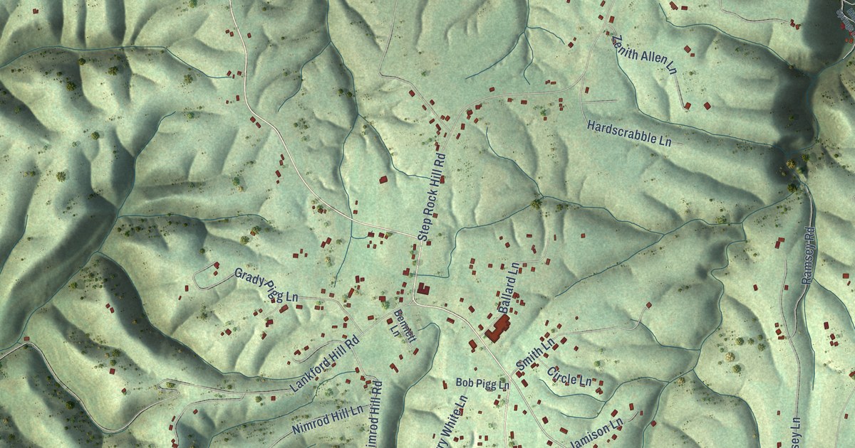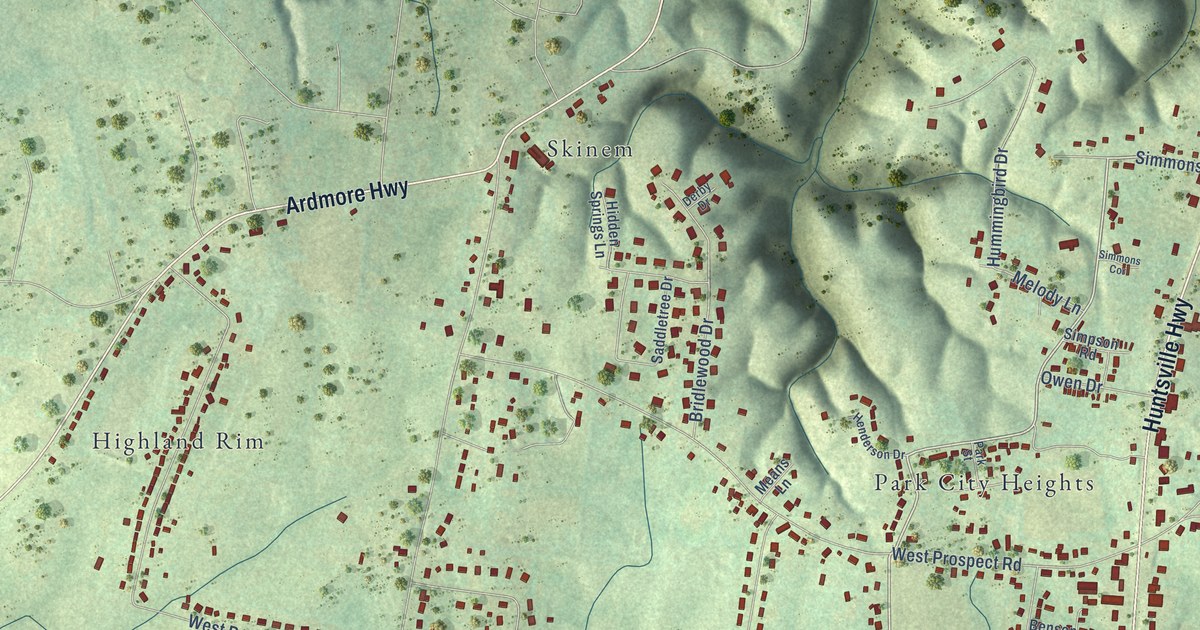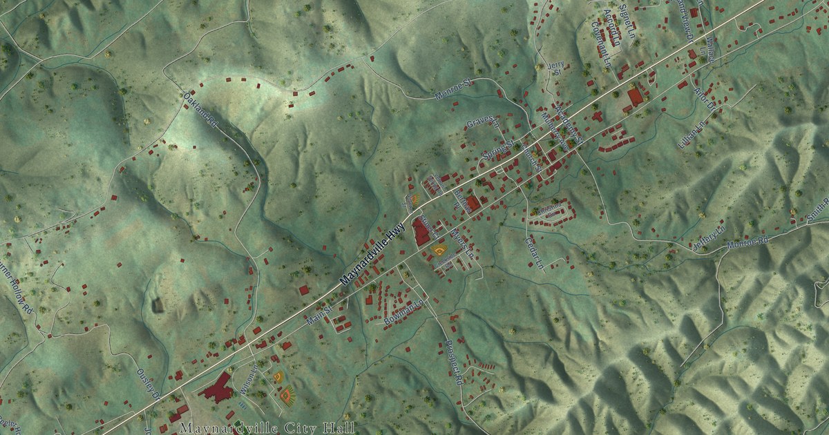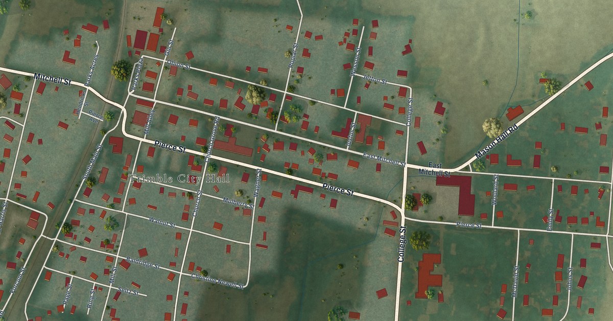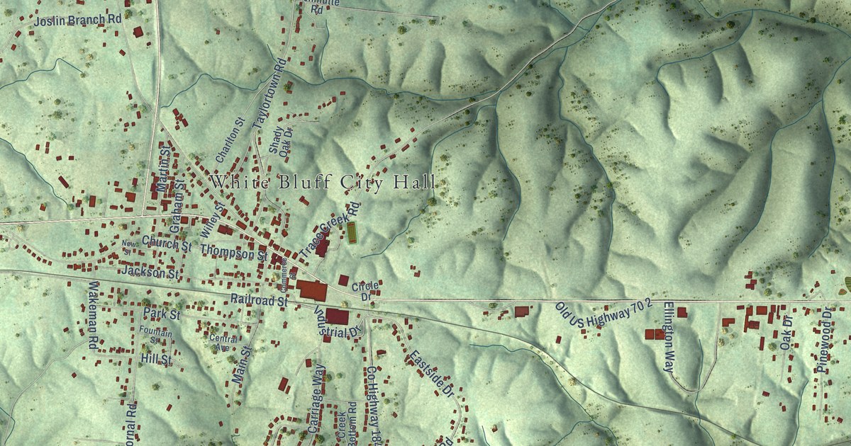
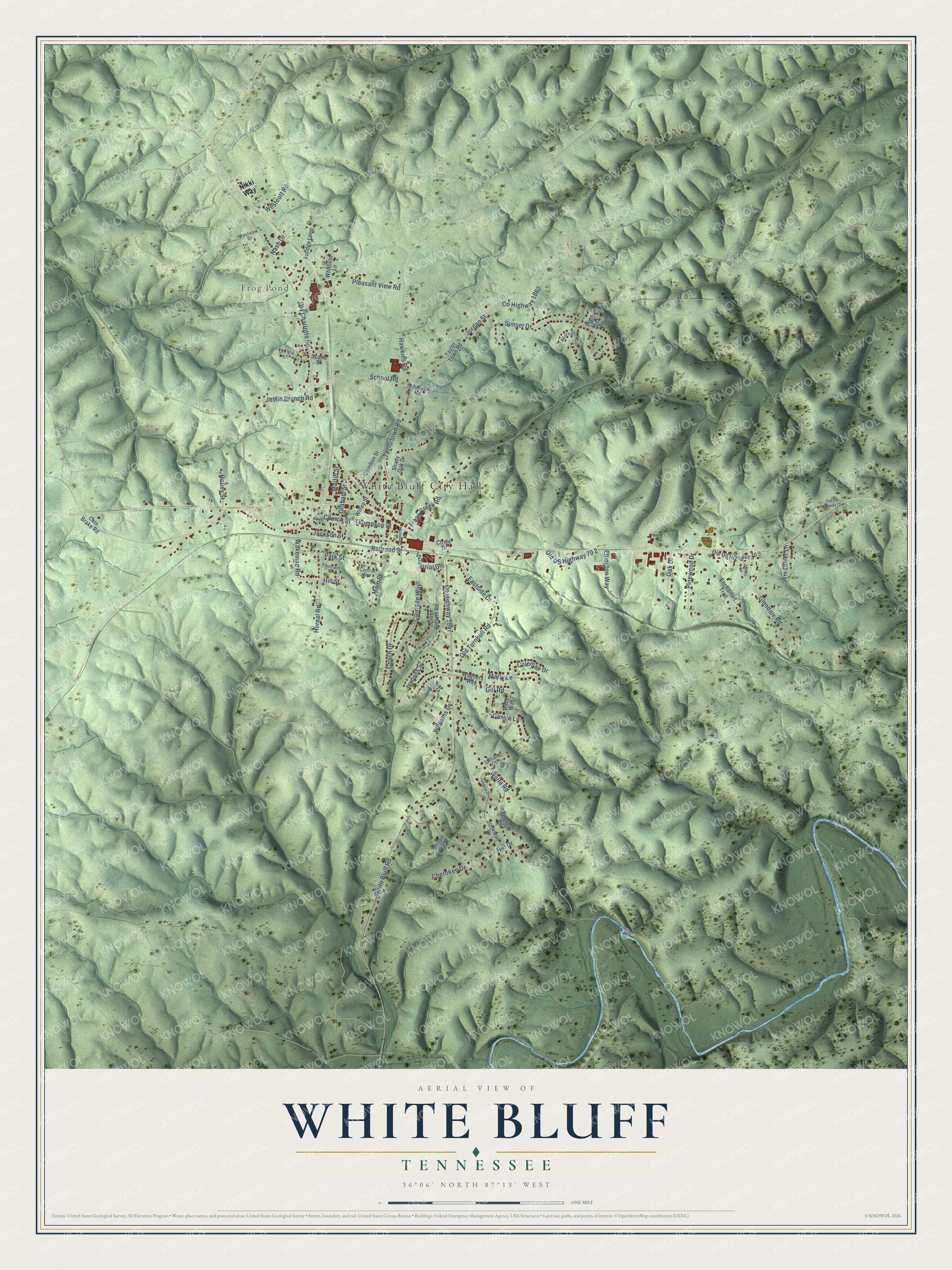
This beautifully detailed map of White Bluff, Tennessee was created in 2026 using aerial imagery combined with modern topographical, census, street and landmark data. It's a modern aerial view of White Bluff in Dickson County, Tennessee, that combines modern data with a vintage aesthetic. The roads feature printed names, and if you look closely you can find your exact house accurately shown in its correct location.
Explore an aerial view of White Bluff, Tennessee
On this map you'll find White Bluff City Hall, Frog Pond, Industrial Drive, Co Highway 1862, Jordan Street, Taylortown Road, Glendale Road, Jordan Circle, White Bluff Road, Co Highway 1847, Old Charlotte Road, Church Street, and more. Each red shape is a building, so zoom in on the preview and look for yours.
Every town has a first chapter, and White Bluff is no exception. The record at tennesseeencyclopedia.net puts it this way: "Louis main line), which traversed the southern portion of the county, became a magnet for migrants from the North, who settled in the new railroad towns of Dickson (originally called Smeedville), Tennessee City, White Bluff, and Burns."
White Bluff is a town in Dickson County. The Census Bureau counted 3,862 people here in 2020.
Take a closer look at the White Bluff map
Names on this map
These names are printed on this map.
Places: White Bluff City Hall and Frog Pond.
Streets and roads: Industrial Drive, County Highway 1862, Jordan Street, Taylortown Road, Glendale Road, Jordan Circle, White Bluff Road, County Highway 1847, Old Charlotte Road, Church Street, Pleasant View Road, Eastside Drive.
More street names, A to Z
Aulidge Loop, Azure Court, Cain Brake Road, Carriage Way, Cassie Lane, Central Avenue, Charlton Street, Cherokee Drive, Chopper Boulevard, Circle Drive, Coach Drive, Coleman Drive, Commerce Street, Corlew Lane, Creek Bottom Road, Ellington Way, Enchanted Trail, Fountain Street, Gill Road, Graham Street, Hatley Street, Hawkins Road, Hill Drive, Hill Street, Hornal Road, Jackson Street, Johnson Drive, Johnston Drive, Jones Lane, Joslin Branch Road, Lillian Court, Main Street, Martin Street, Marty Lane, Nash Drive, New Street, Nikki Way, Oak Drive, Old Turnbull Road, Old US Highway 70 2, Old US Highway 70 3, Old US Highway 70 4, Park Street, Pinewood Drive, Polar Court, Railroad Street, Ruby Way, Schmutte Road, School Road, Shady Oak Drive, Spann Street, Sunset Drive, Taylor Town Road, Thompson Street, Trace Creek Road, Turnbull Road, Violet Mist, Wagners Way, Wakeman Road, Westcott Road, Westview Drive, Whitfield Lane, Willey Street, Williams Drive, Wm Driver Lane, Wolfe Road.
Created by KNOWOL in 2026. The buildings are small red shapes, the roads carry their printed names, and shaded relief shows the shape of the land. The title panel reads "AERIAL VIEW OF WHITE BLUFF TENNESSEE" with 36°06' NORTH 87°13' WEST.
Hang it in the hallway, the office or the cabin, or give it to someone who left White Bluff and still calls it home. Open the preview and look for a street you know. See sizes and frames for the White Bluff map.