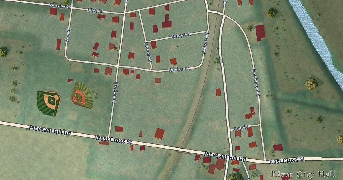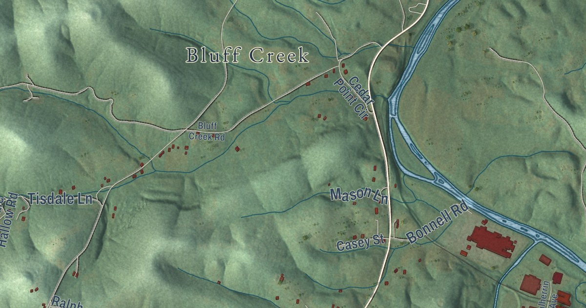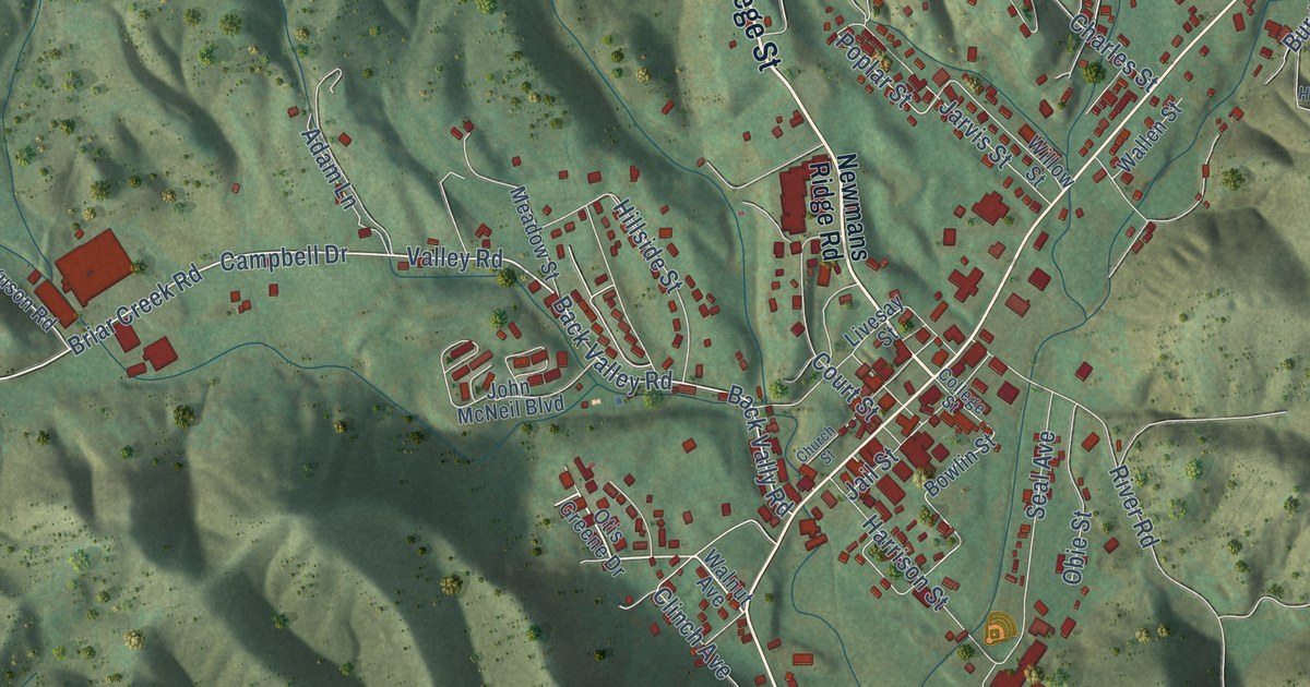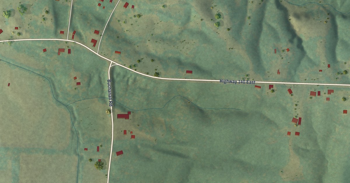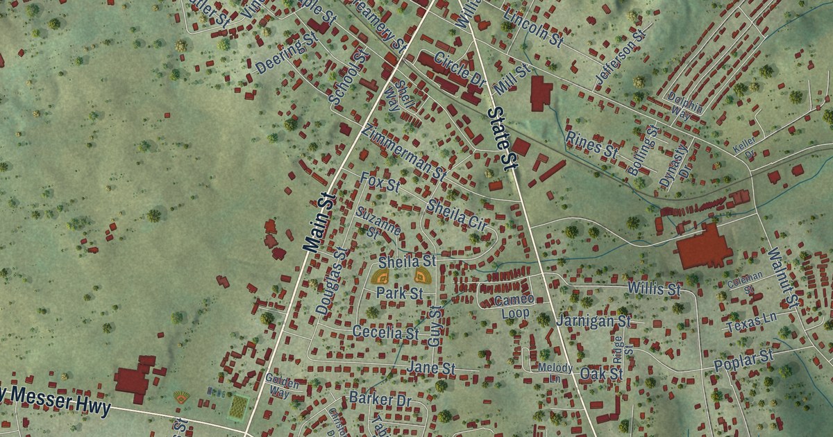
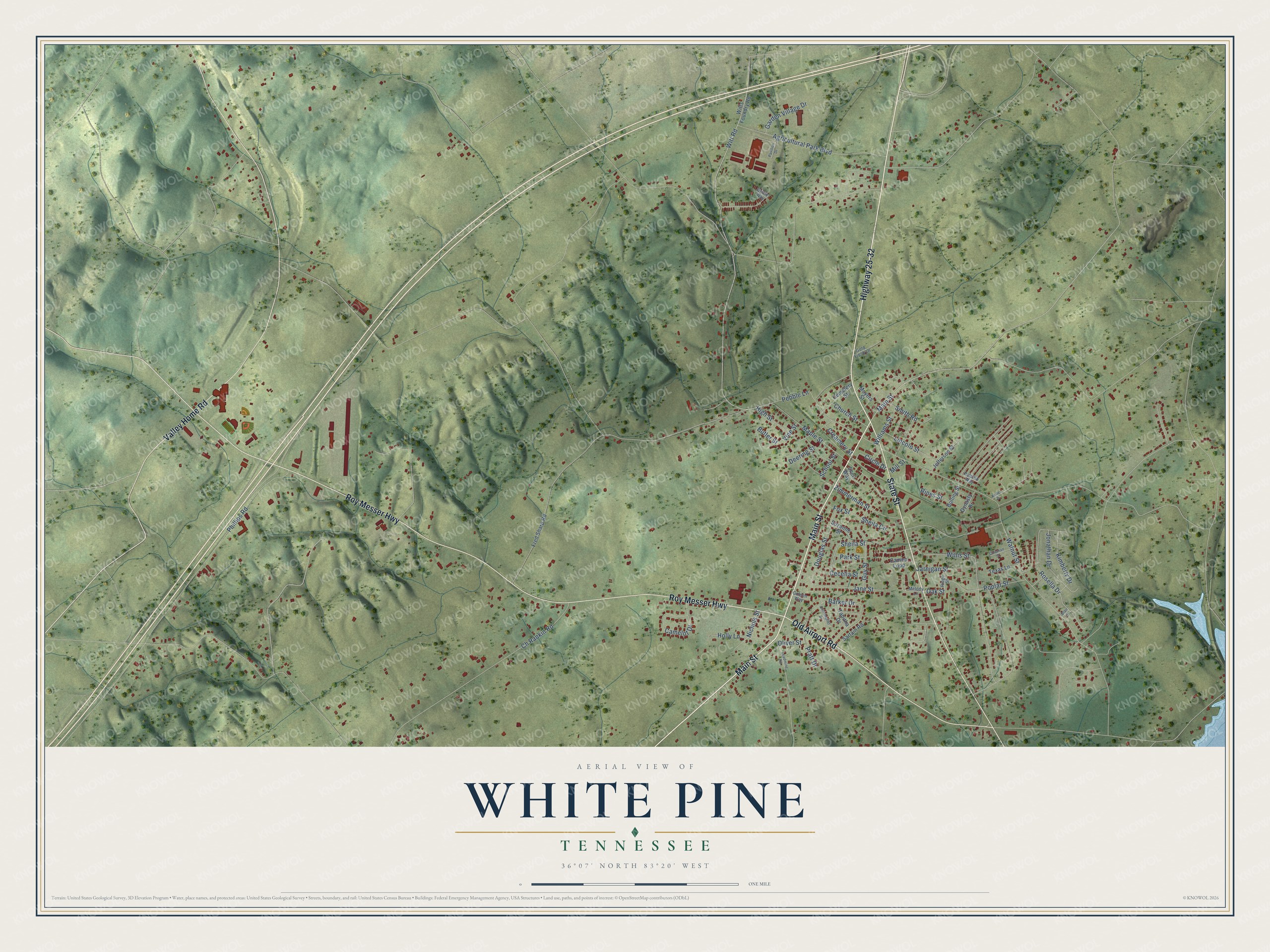
This beautifully detailed map of White Pine, Tennessee was created in 2026 using aerial imagery combined with modern topographical, census, street and landmark data. It’s a one-of-a-kind view of White Pine that combines accurate data with a vintage aesthetic. The map shows every building in its true location, many of the roads carry their names, and the shaded topographic relief shows the shape of the land.
Explore an aerial view of White Pine, Tennessee
On the map you’ll find Kimbrough Crossroad, along with Main Street, Highway 25-32, State Street, Roy Messer Highway, Valley Home Road, Old Airport Road, Witt Road, Willis Street, Sheila Circle, Walnut Street, Maple Street, and more. If you look closely you can even find your house accurately drawn in its correct location. Zoom in on the preview to look for yours.
Did you know this about White Pine, Tennessee?
From the Goodspeed History of Tennessee: "White Pine is a flourishing village on the North Carolina Division of the East Tennessee, Virginia & Georgia Railroad, in the northeast part of the county."
Take a closer look at the White Pine map
Street names on the White Pine, Tennessee map
These names are printed on the map of White Pine, Tennessee.
Streets and roads: Main Street, Highway 25-32, State Street, Roy Messer Highway, Old Airport Road, Valley Home Road, Willis Street, Witt Road, Sheila Circle, Walnut Street, Maple Street, Agricultural Park Boulevard.
More street names, A to Z
Barker Drive, Blair Drive, Bolling Street, Bridle Way, Butler Street, Camelot Drive, Cameo Loop, Cecelia Street, Cemetery Street, Ch Rankin Road, Christopher Drive, Church Street, Circle Drive, Coleman Street, Creamery Street, Deering Street, Dolphin Way, Douglas Street, Dynasty Drive, Fox Street, Fred Sharp Road, Garden Village Drive, Golden Way, Gold Finch Lane, Guy Street, High Street, Holly Lane, Jane Street, Jarnigan Street, Jefferson Street, Jonathan Drive, Keller Drive, Kimberly Drive, Leadmine Road, Lincoln Street, Melody Lane, Mill Street, Moyers Street, Nichols Street, Oak Street, Oliver Street, Park Street, Pavilion Drive, Pebble Lane, Phillips Road, Poplar Street, Pratt Drive, Ridge Street, Rines Street, Rosella Drive, Sartain Road, School Street, Sheila Street, Shell Way, Smith Road, Suzanne Street, Tabitha Drive, Texas Lane, Vine Street, Williams Street, Witts Foundry Road, Zimmerman Street.
See the White Pine, Tennessee map on a wall
The White Pine map as an 18 x 24 inch print in a black frame.

This beautifully detailed map of White Pine makes an attractive addition to your office, library, or den, and it can even be used to teach children the geography and history of the area. It also makes a great gift for anyone with White Pine roots. When you’re done exploring, click here to get your copy of the White Pine map.