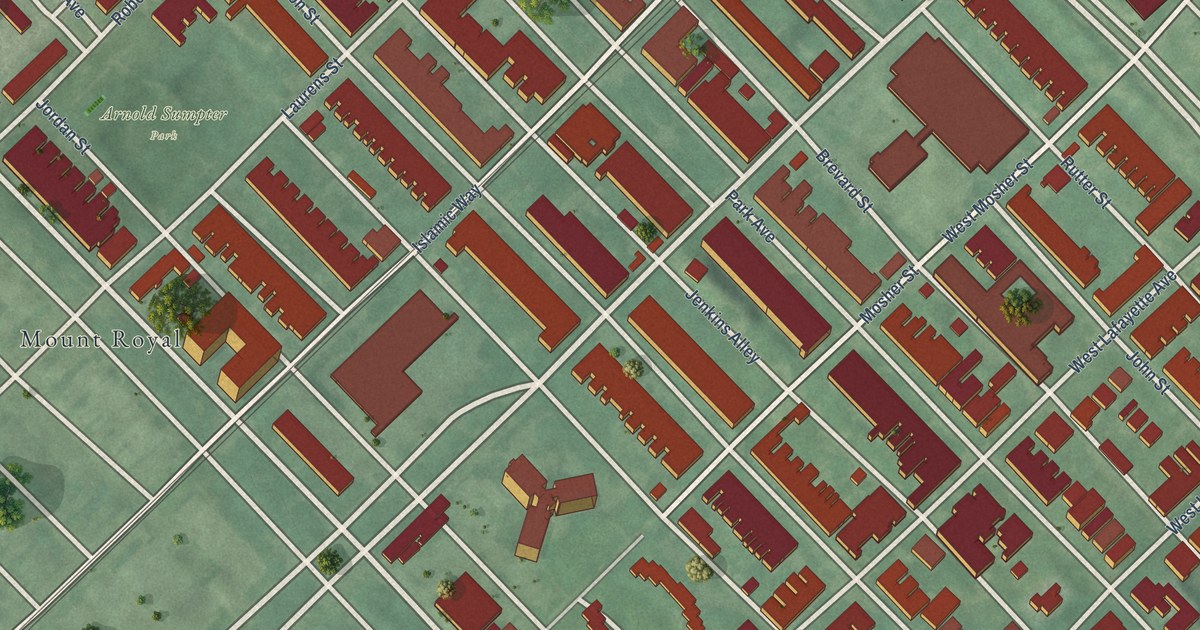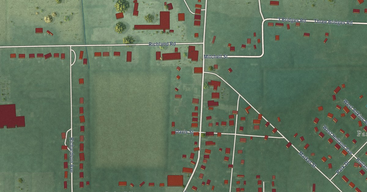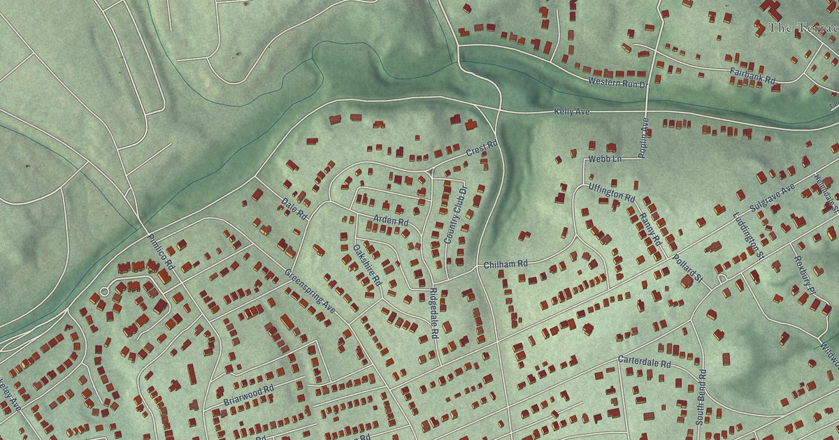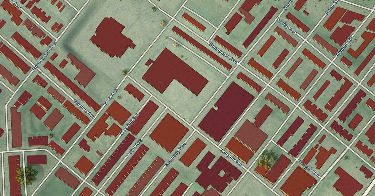
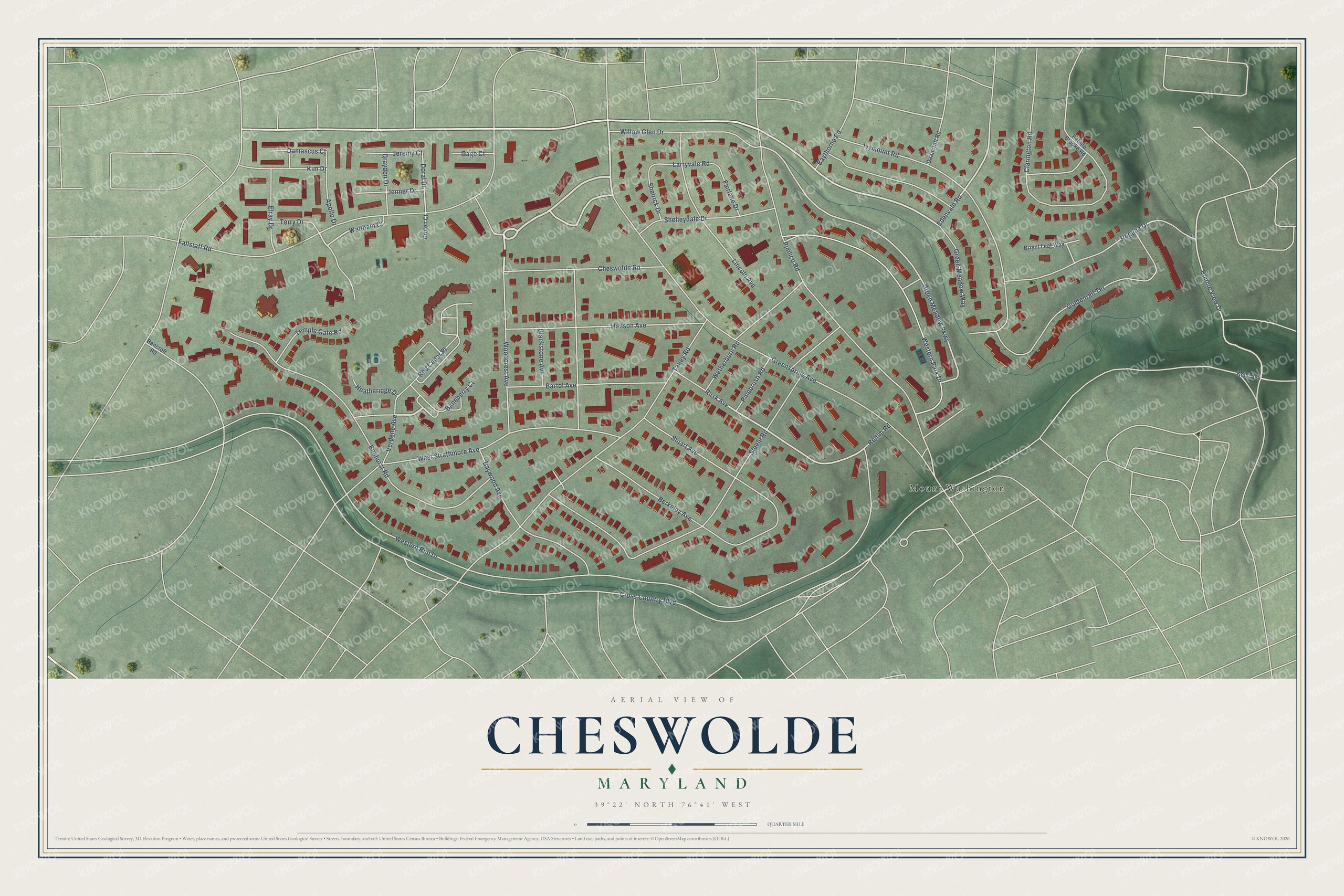
This beautifully detailed map of Cheswolde, Maryland was created in 2026 using aerial imagery combined with modern topographical, census, street and landmark data. It's a modern aerial view of Cheswolde in Baltimore City, Maryland, that combines modern data with a vintage aesthetic. The roads feature printed names, and if you look closely you can find your exact house accurately shown in its correct location.
Explore an aerial view of Cheswolde, Maryland
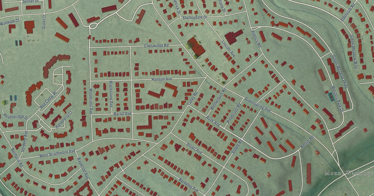
On this map you'll find Mount Washington, Greenspring Avenue, Green Meadow Parkway, Rusk Avenue, Edenvale Road, Bonnie View Drive, Doral Drive, Larryvale Road, Cross Country Boulevard, Western Run Drive, Taney Road, Pimlico Road, and more. Each red shape is a building, so zoom in on the preview and look for yours.
Here is a piece of Cheswolde history, in the words of the record. The Live Baltimore puts it this way: "The neighborhood is part of the Baltimore Eruv and within the service area of Hatzalah emergency medical services as well as the Northwest Community Patrol. As such, it is home to many Jewish families that enjoy proximity to a large number of synagogues and other resources."
Cheswolde is a neighborhood in Baltimore City.
Take a closer look at the Cheswolde map
Names on this map
These names are printed on this map.
Places: Mount Washington.
Streets and roads: Greenspring Avenue, Green Meadow Parkway, Rusk Avenue, Edenvale Road, Bonnie View Drive, Doral Drive, Larryvale Road, Cross Country Boulevard, Western Run Drive, Taney Road, Pimlico Road, Fallstaff Road.
More street names, A to Z
Apollo Drive, Bancroft Road, Baneberry Court, Bartol Avenue, Baythorne Road, Baywood Avenue, Benhurst Road, Berkeley Avenue, Blackstone Avenue, Bright Leaf Way, Cheswolde Road, Clarington Road, Damascus Court, Deancroft Road, Drayden Drive, Elray Drive, Fairlane Drive, Gage Court, Goldenrail Terrace, Green Meadow Way, Groten Court, Hanson Avenue, Heatheridge Drive, Ivymount Road, Jenner Drive, Jeremy Court, Kelly Avenue, Kim Drive, Lincoln Avenue, Pebble Brooke Road, Pinebrush Road, Red Cedar Place, Rellim Road, Rogene Drive, Shelleydale Drive, Shelrick Drive, Steele Road, Stuart Avenue, Temple Gate Road, Terry Drive, Verdene Avenue, Waltham Court, Western Park Drive, West Strathmore Avenue, Wetherburn Road, Willow Glen Drive, Woodcrest Avenue.
Created by KNOWOL in 2026. The buildings are small red shapes, the roads carry their printed names, and shaded relief shows the shape of the land. The title panel reads "AERIAL VIEW OF CHESWOLDE MARYLAND" with 39°22' NORTH 76°41' WEST.
It suits a den, a classroom or a front hall, and it makes a gift for anyone with Cheswolde roots. Open the preview and find the block you know. See sizes and frames for the Cheswolde map.