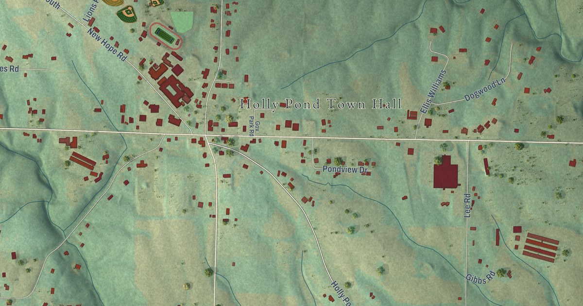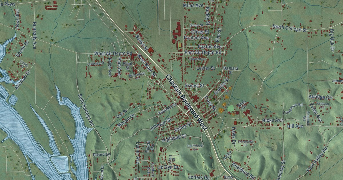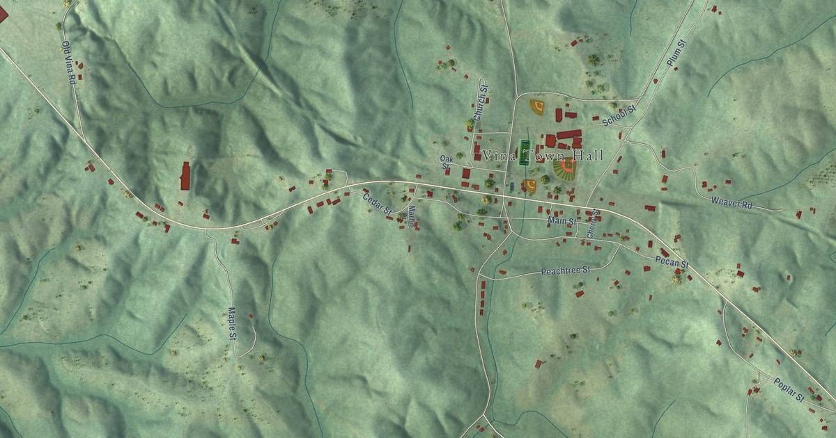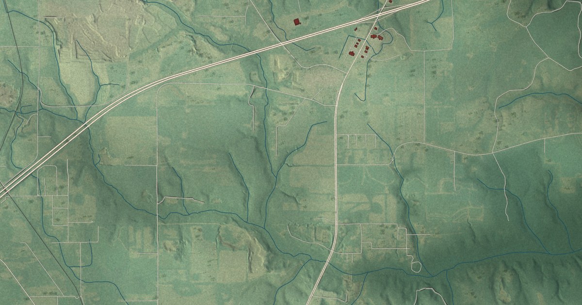
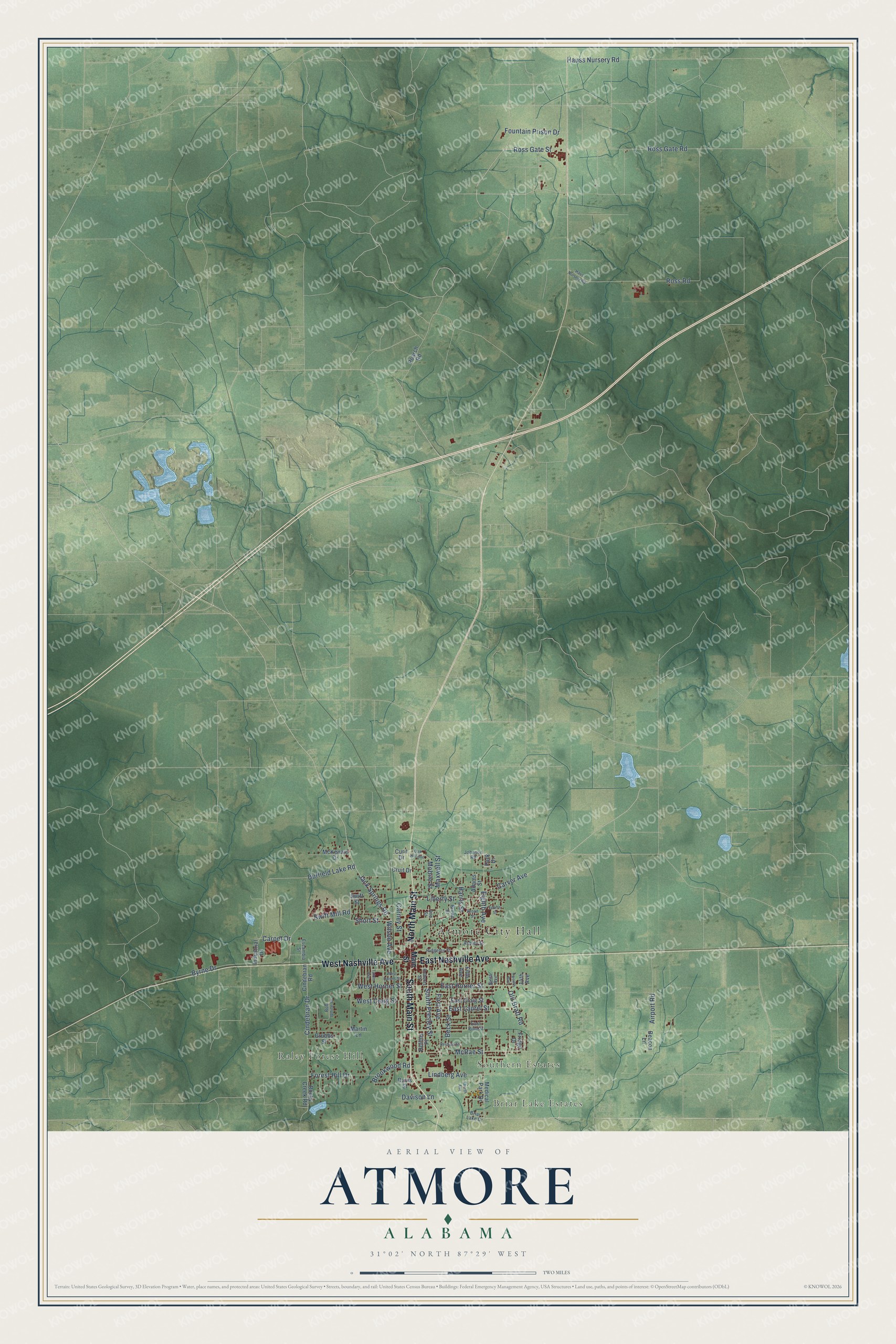
This beautifully detailed map of Atmore, Alabama was created in 2026 using aerial imagery combined with modern topographical, census, street and landmark data. It's a modern aerial view of Atmore in Escambia County, Alabama, that combines modern data with a vintage aesthetic. The roads feature printed names, and if you look closely you can find your exact house accurately shown in its correct location.
Explore an aerial view of Atmore, Alabama
On this map you'll find Atmore City Hall, Briar Lake Estates, Raley Forest Hill, Southern Estates, South Main Street, North Main Street, East Nashville Avenue, West Nashville Avenue, Eighth Avenue, Old Bratt Road, Ross Gate Street, Carver Avenue, and more. Each red shape is a building, so zoom in on the preview and look for yours.
Atmore has a story worth telling. The record at encyclopediaofalabama.org puts it this way: "Atmore became an agricultural center in the early part of the twentieth century, with cotton , corn, and potatoes being the dominant crops, and during the first two decades of the twentieth century the town was also a major producer of satsuma oranges."
Atmore is a city in Escambia County. The Census Bureau counted 8,391 people here in 2020.
Take a closer look at the Atmore map
Names on this map
These names are printed on this map.
Places: Atmore City Hall, Briar Lake Estates, Raley Forest Hill and Southern Estates.
Streets and roads: South Main Street, North Main Street, East Nashville Avenue, West Nashville Avenue, Eighth Avenue, Old Bratt Road, Ross Gate Street, Carver Avenue, Jack Springs Road, Ross Road, Mobile Street, West Horner Street.
More street names, A to Z
14th Avenue, Adams Street, Airport Road, Ann Street, Ashley Street, Beacon Lane, Beck Street, Bob White Drive, Briar Lake Drive, Broad Street, Brookwood Road, Brown Street, Byrne Drive, Carney Street, Carpet Drive, Cindebran Drive, Cindebran Road, Cruit Drive, Curit Drive, Davison Lane, Davis Street, Duffield Lake Road, East Craig Street, East Horner Street, East Laurel Street, East Pine Street, Escambia Street, Fifth Avenue, First Avenue, Forest Hill Drive, Fountain Prison Drive, Fourth Avenue, Fourth Street, Fridge Drive, Grubbs Street, Harris Street, Haus Nursery Road, Hauss Nursery Road, Industrial Drive, Johnson Road, Liberty Street, Lindberg Avenue, Main Street, Martin Lane, Maxwell Street, McKenzie Drive, McRae Street, Medical Park Drive, Ninth Avenue, Oak Hill Avenue, Park Drive, Perdido Street, Poarch Road, Ridgeley Street, Roberts Street, Rocky Creek Road, Rollins Place, Ross Gate Road, Short Street, South Presley Street, Swift Mill Road, Swift Street, Tatom Avenue, Twelfth Avenue, West Craig Street, West Owens Street, Wilson Avenue.
Created by KNOWOL in 2026. The buildings are small red shapes, the roads carry their printed names, and shaded relief shows the shape of the land. The title panel reads "AERIAL VIEW OF ATMORE ALABAMA" with 31°02' NORTH 87°29' WEST.
It looks right in a kitchen, an office or a den, and it's a gift for anyone who grew up in Atmore or moved away. Open the preview and find your street. See sizes and frames for the Atmore map.