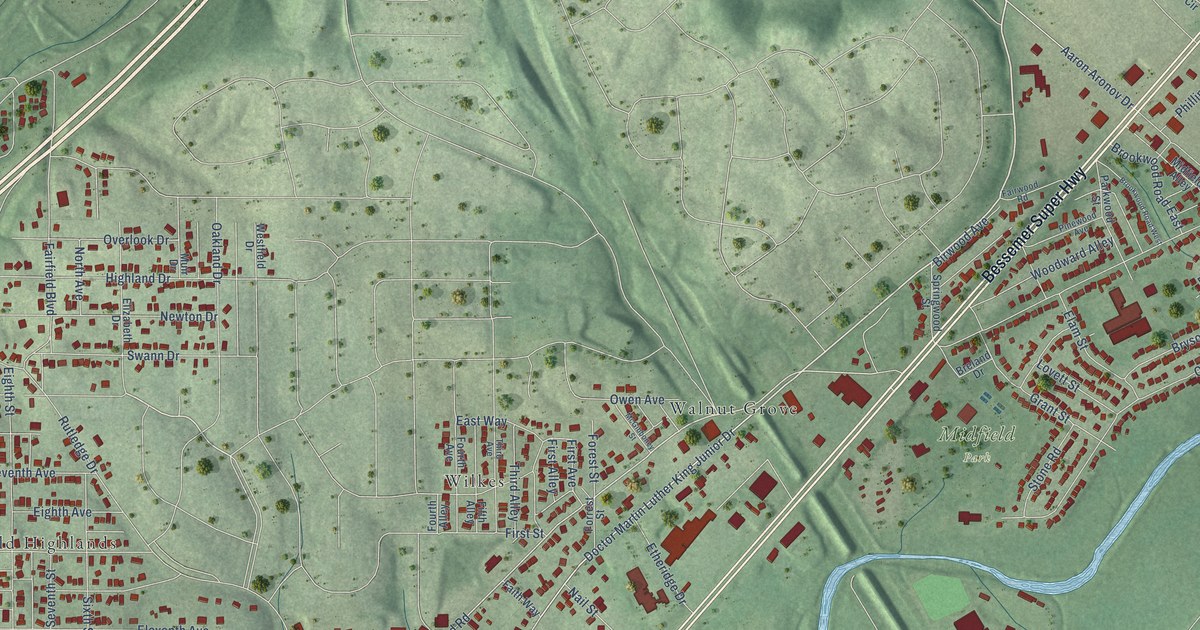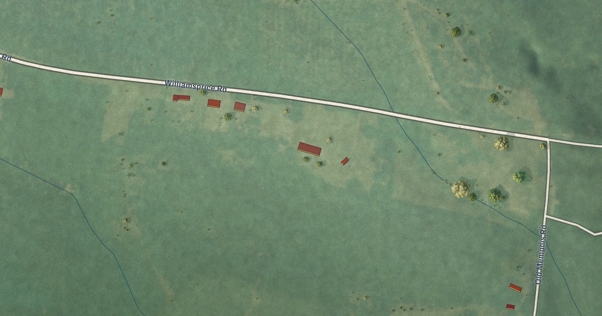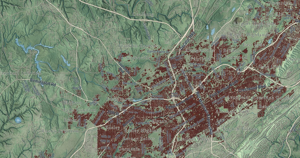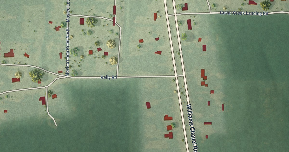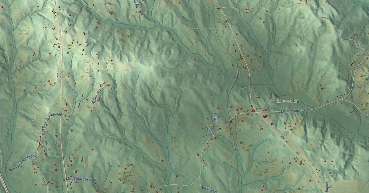
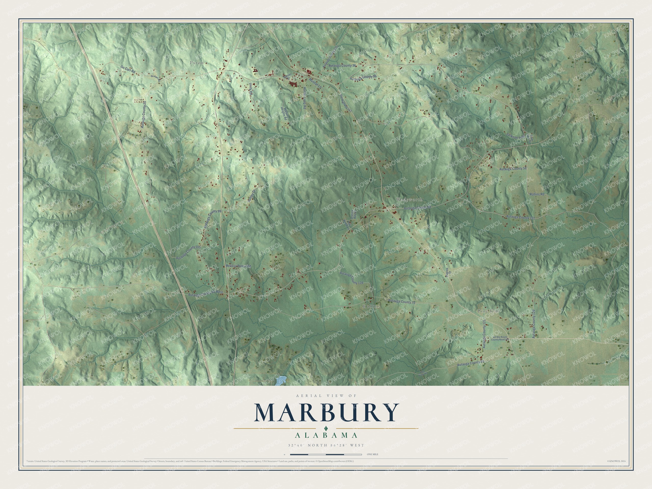
This beautifully detailed map of Marbury, Alabama was created in 2026 using aerial imagery combined with modern topographical, census, street and landmark data. It's a modern aerial view of Marbury in Autauga County, Alabama, that combines modern data with a vintage aesthetic. The roads feature printed names, and if you look closely you can find your exact house accurately shown in its correct location.
Explore an aerial view of Marbury, Alabama
On this map you'll find Pyron, Pine Flat, Rollins, Wadsworth, Rollins Road, Autauga County 131, Autauga County 68, Autauga County 20, Autauga County 70, Autauga County 56, Autauga County 129, Hunter Loop Road, and more. Each red shape is a building, so zoom in on the preview and look for yours.
Every town has a first chapter, and Marbury is no exception. At the 1908 International Sunday School Convention, Birmingham Sunday school worker Lee McCrae said Alabamians pointed proudly to the little town of Marbury. The town had 343 people, yet its Sunday school had enrolled 550 by drawing in the country around it, and only one person in Marbury refused to attend. That's from the International Sunday School Association.
Marbury is a community in Autauga County. The Census Bureau counted 1,427 people here in 2020.
Take a closer look at the Marbury map
Names on this map
These names are printed on this map.
Places: Pyron, Pine Flat, Rollins and Wadsworth.
Streets and roads: Rollins Road, Autauga County 131, Autauga County 68, Autauga County 20, Autauga County 70, Autauga County 56, Autauga County 129, Hunter Loop Road, Autauga County 105, Autauga County 99, Autauga County 64, Go Cart Road.
More street names, A to Z
Alt Route Route County Road 121, Ashley Drive, Autauga County 36, Autauga County 68 West, Autauga County 96, Autauga County 121, Autauga County 139, Autauga County 535, Dupree Drive, Go Kart Road, Jackson Trail, Jessica Bay Court, Kelly Botton Road, Marbury Heights Road, Melissa Robyn Road, Mushat Lane, Oak Brook Lane, Old Highway 143, Rainer Street, Tram Spur Drive, Unity Road.
See it on a wall
The Marbury map as a framed print. Swipe for more.


Created by KNOWOL in 2026. The buildings are small red shapes, the roads carry their printed names, and shaded relief shows the shape of the land. The title panel reads "AERIAL VIEW OF MARBURY, ALABAMA" with 32°40' NORTH 86°28' WEST.
Hang it in the hallway, the office or the cabin, or give it to someone who left Marbury and still calls it home. Open the preview and look for a street you know. See sizes and frames for the Marbury map.