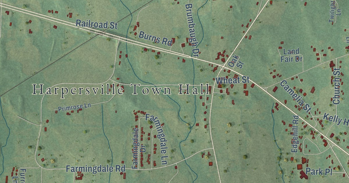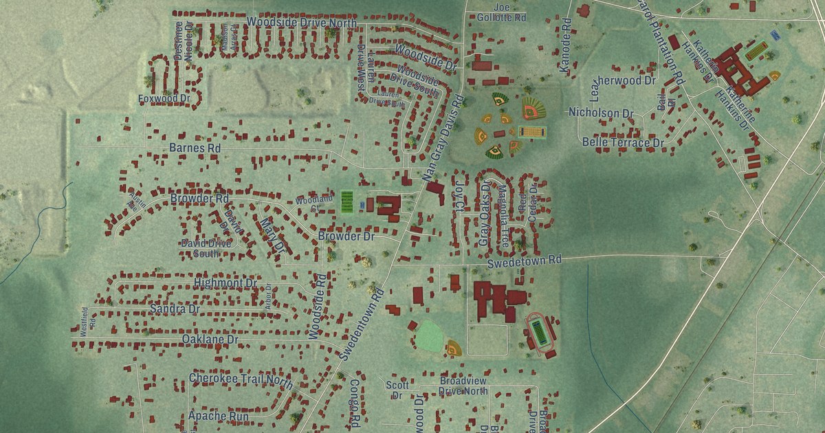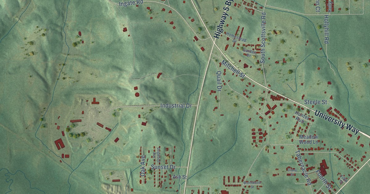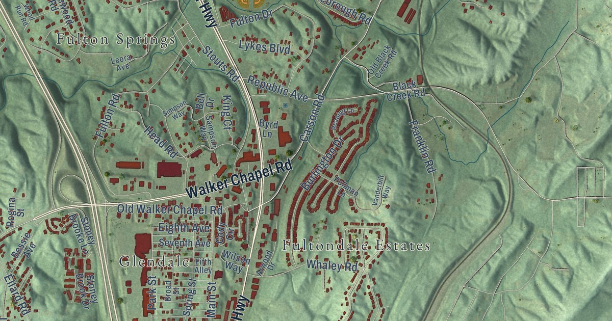
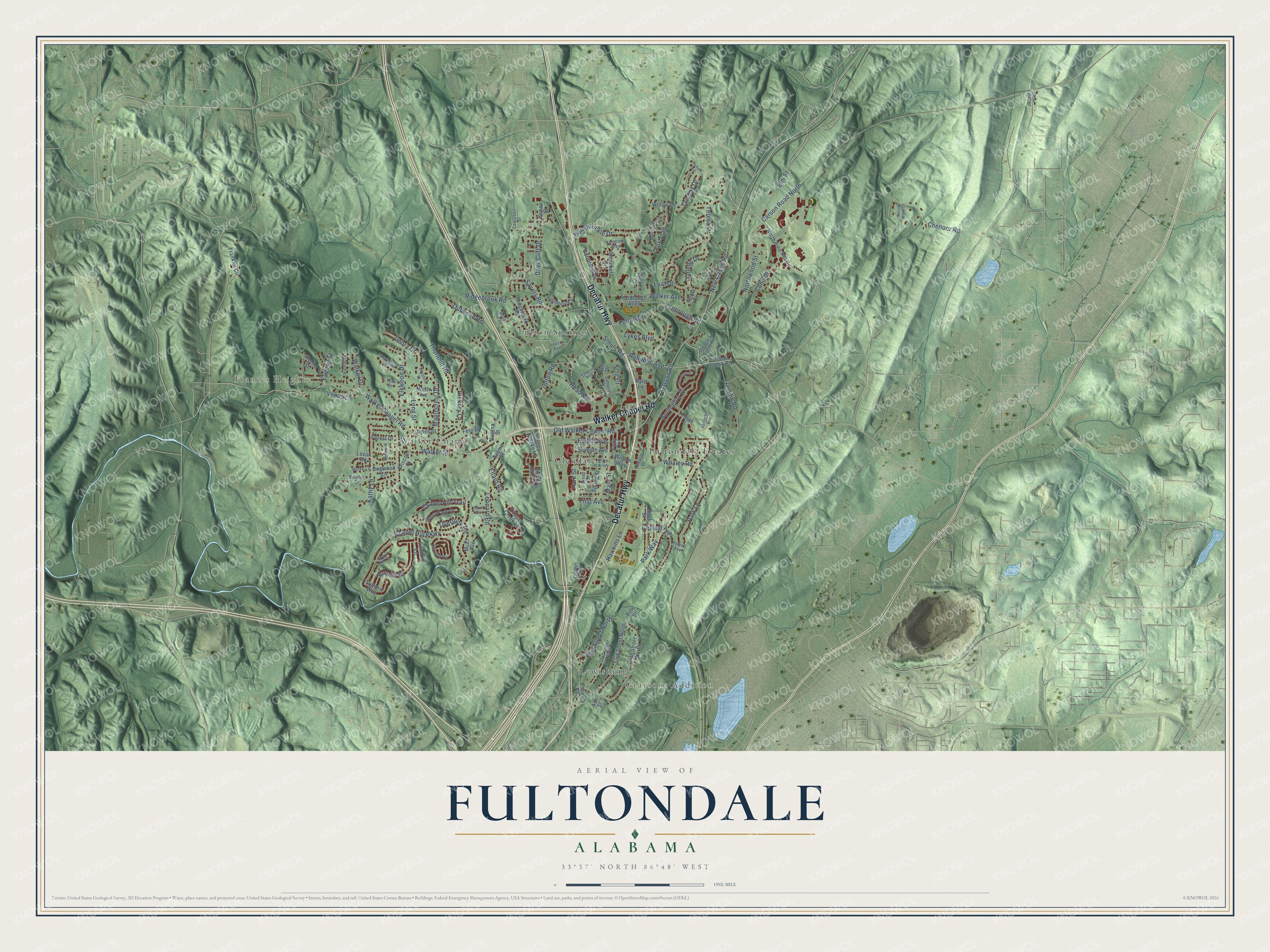
This beautifully detailed map of Fultondale, Alabama was created in 2026 using aerial imagery combined with modern topographical, census, street and landmark data. It’s a one-of-a-kind view of Fultondale that combines accurate data with a vintage aesthetic. The map shows every building in its true location, many of the roads carry their names, and the shaded topographic relief shows the shape of the land.
Explore an aerial view of Fultondale, Alabama
On the map you’ll find Frances Heights, Graysons Addition, Fulton Springs, Fultondale Estates, Glendale, Lewisburg, and Walker Chapel, along with Decatur Highway, Walker Chapel Road, Stouts Road, Main Street, Republic Avenue, and more. If you look closely you can even find your house accurately drawn in its correct location. Zoom in on the preview to look for yours.
Did you know this piece of Fultondale, Alabama history?
From Encyclopediaofalabama.org: "In the 1870s, Bartholomew Boyle, who was also involved in the founding of Helena, Shelby County (named for his wife), bought 2,000 acres in what is now Fultondale and opened several coal mines, which he named for his daughter, Mary Lee."
Take a closer look at the Fultondale map
Street and place names on the Fultondale, Alabama map
These names are printed on the map of Fultondale, Alabama.
Places: Frances Heights, Graysons Addition, Fulton Springs, Fultondale Estates, Glendale, Lewisburg and Walker Chapel.
Streets and roads: Decatur Highway, Walker Chapel Road, Stouts Road, Main Street, Republic Avenue, First Avenue, Honeysuckle Drive, Central Avenue, New Castle Road, Carson Road North, Chapel Hill Parkway, Ellard Road.
More street names, A to Z
31st Street North, 32nd Street North, 33rd Street North, 34th Street North, Arwood Drive, Ash Street, Bell Drive, Bessie Avenue, Black Creek Road, Brakefield Drive, Briscoe Drive, Briscoe Street, Broad Street, Burke Lane, Burlington Drive, Byrd Lane, Carousen Drive, Carson Road, Chapel Creek Lane, Chapel Hill Cv, Chapel Hill Trail, Cheek Road, Chenoor Road, Cody Circle, Cone Drive, Coster Drive, Courtland Drive, Darlene Drive, Dave Cliff Drive, Debra Drive, Dogwood Lane, Eighth Avenue, Elizabeth Street, Elkwood Drive, Elm Street, Enclave Circle, Eugene Street, Falling Wood Lane, Fern Drive, Fifth Alley, First Street, Forest Drive, Fox Trail, Franklin Circle, Franklin Road, Fultonbrook Drive, Fulton Drive, Fulton Road, Hawkins Lane, Head Road, Hickory Lane, Hogan Street, Howell Avenue, Hyche Street, Indian Valley Road, Jones Street, Kathy Lane, Kenmore Way, King Court, Leonard Road, Leora Avenue, Levan Road, Long Street, Lual Drive, Lykes Boulevard, Maplecrest Drive, Mary Lane, McEl Avenue, Moonlight Lane, Nelda Circle, North Avenue, North Pine Hill Road, Northwood Street, Oak Street, Old Black Creek Road, Old Walker Chapel Road, Outwood Road, Overlook Road, Park Lane, Park Street, Park Way, Pine Street, Pinewood Lane, Pullman Lane, Reading Lane, Ridgebrook Road, Ridgewood Road, Rogina Street, Sampson Way, Sayers Road, Seventh Avenue, Simpson Way, Spring Street, Stonefield Drive, Stoney Brook Drive, Stoney Brooke Lane, Summit Drive, Summit Lane, Summit Way, Sun Circle, Taihaiti Lane, Tambay Drive, Teresa Drive, Thornhill Road, Vanderbilt Way, Venus Lane, Walker Avenue, Walker Court, Walker Drive, Walker Street, West Park Drive, Whaley Road, Willow Lane, Wilson Way, Wood Run Road, Yaebrough Road, Yarbrough Alley, York Drive.
See the Fultondale, Alabama map on a wall
The Fultondale map as an 18 x 24 inch print in a black frame.

This beautifully detailed map of Fultondale makes an attractive addition to your office, library, or den, and it can even be used to teach children the geography and history of the area. It also makes a great gift for anyone who grew up in Fultondale or moved away. When you’re done exploring, click here to get your copy of the Fultondale map.